Plizio Visual Lab
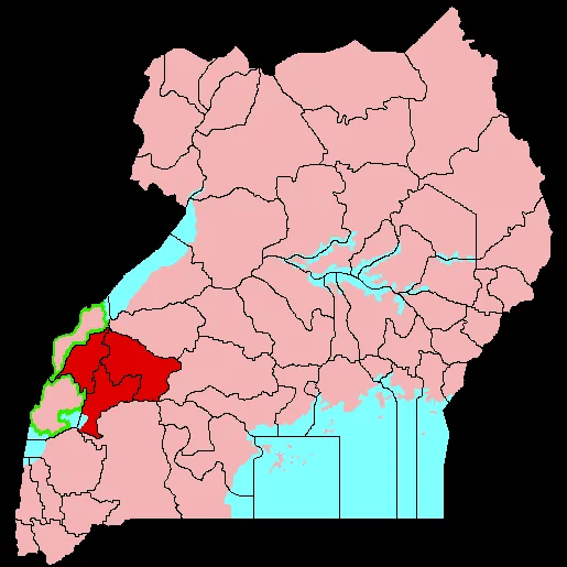
Bundibugyo
ℹ️Practical info — Bundibugyo
▾
🌤 Weather — 5 days
📍 Nearby
Sights nearby
💡 Tips
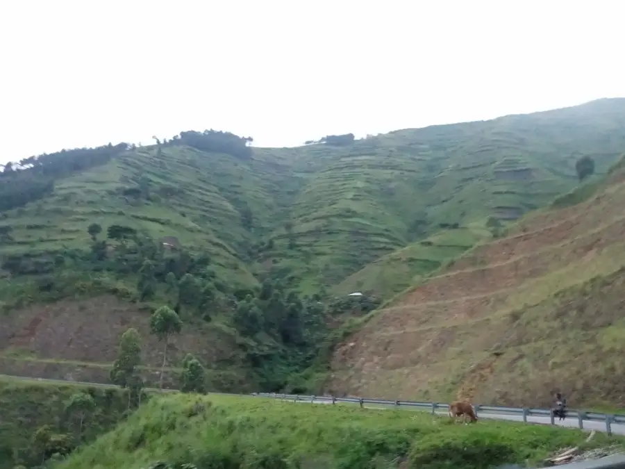
- The road from Fort Portal to Bundibugyo winds through the Rwenzori mountains; travel during daylight to safely navigate the steep, curvy sections.
- Rain gear is essential year-round, as the region's climate is highly tropical and sudden downpours are frequent.
- Bodabodas (motorcycle taxis) are the fastest way to get around town, but agree on the fare before hopping on.
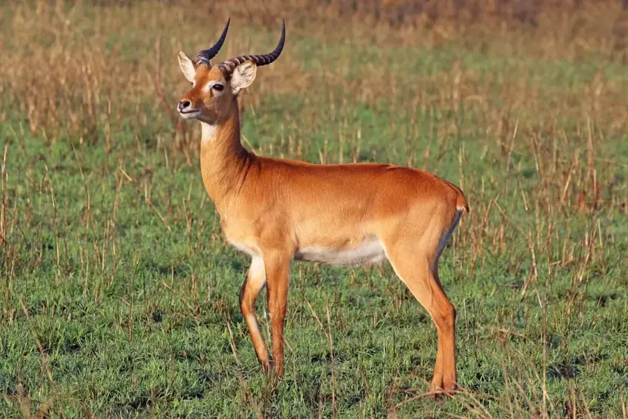
- Visit the Semuliki National Park's Sempaya Hot Springs early in the morning to avoid the heat and see the steam rising dramatically.
- Carry Ugandan Shillings in cash; ATMs are limited, and mobile money (MTN/Airtel) is the preferred digital payment method.
🍽 Food
A popular Ugandan street food consisting of an omelet rolled in a chapati, well-suited for a quick, filling snack from roadside vendors.
Steamed, mashed plantains served with a rich peanut sauce, available at local buffets (hoteli).
Since the area is known for cocoa farming, ask locals to try raw, sweet cocoa pulp straight from the pod.
🛍 Shopping · 🧘 Quiet spots
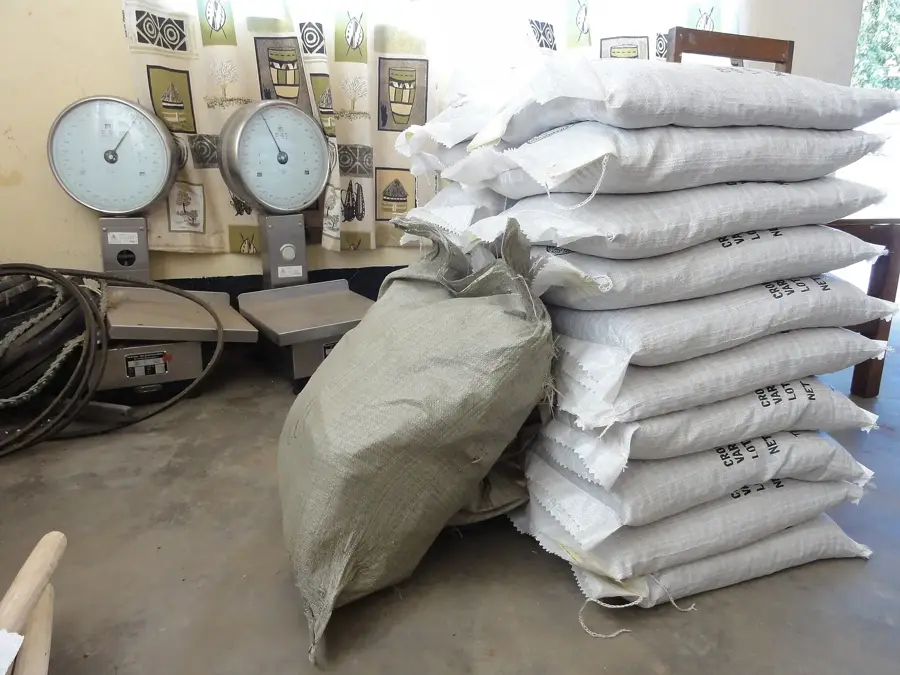
Bundibugyo is renowned for these crops; buy raw beans or locally processed products at the main town market.
Browse the market stalls for colorful, locally printed cotton fabrics.
Find a quiet spot along the river bordering the DRC to watch the water flow and spot local birdlife.
Take a short hike towards the mountain bases for a serene atmosphere away from the bustling town center.
Water temperature…
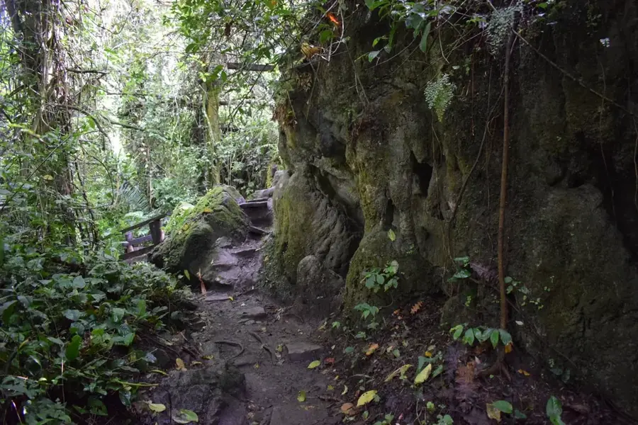
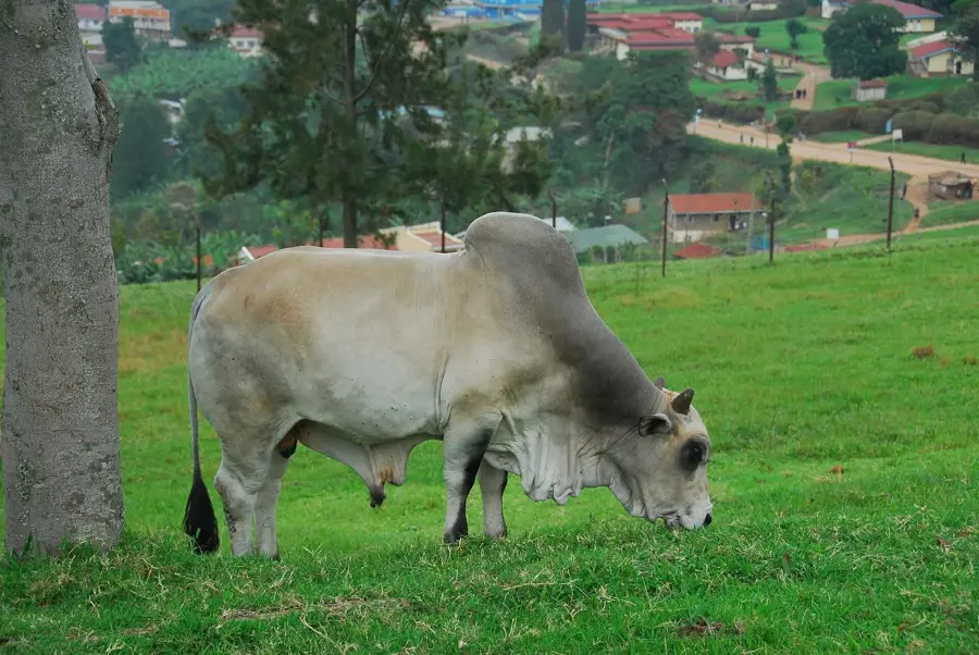
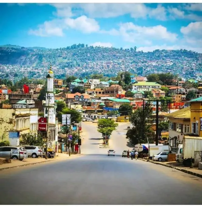
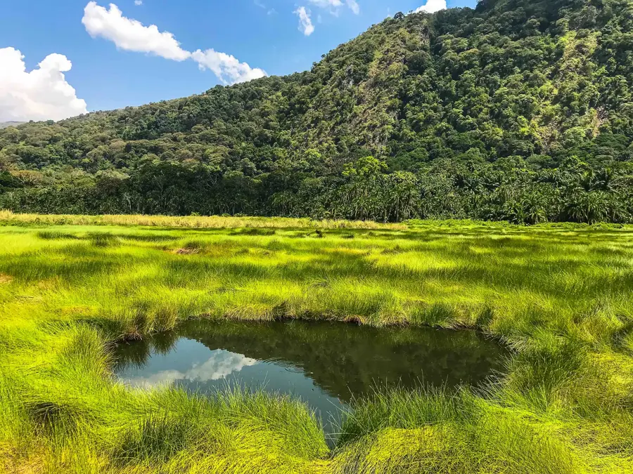
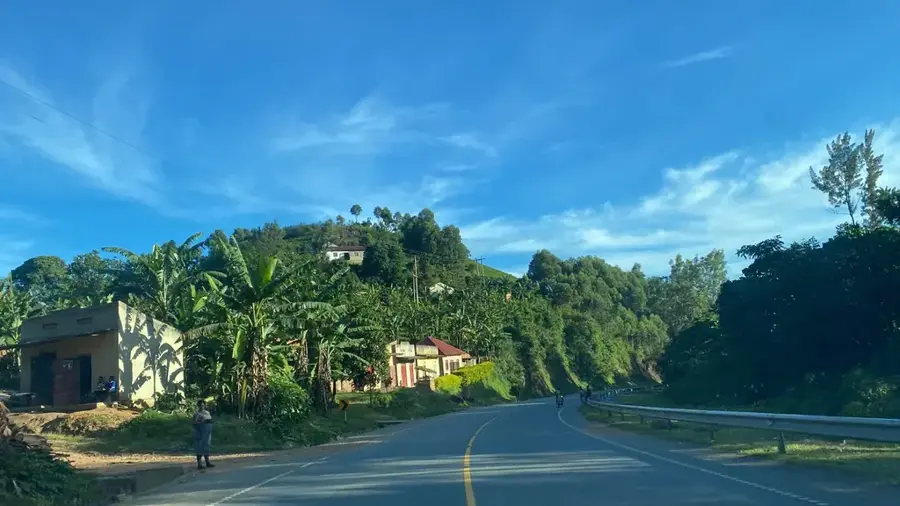
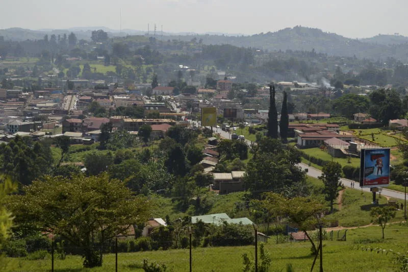
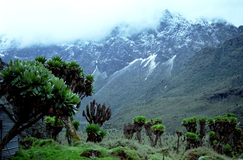
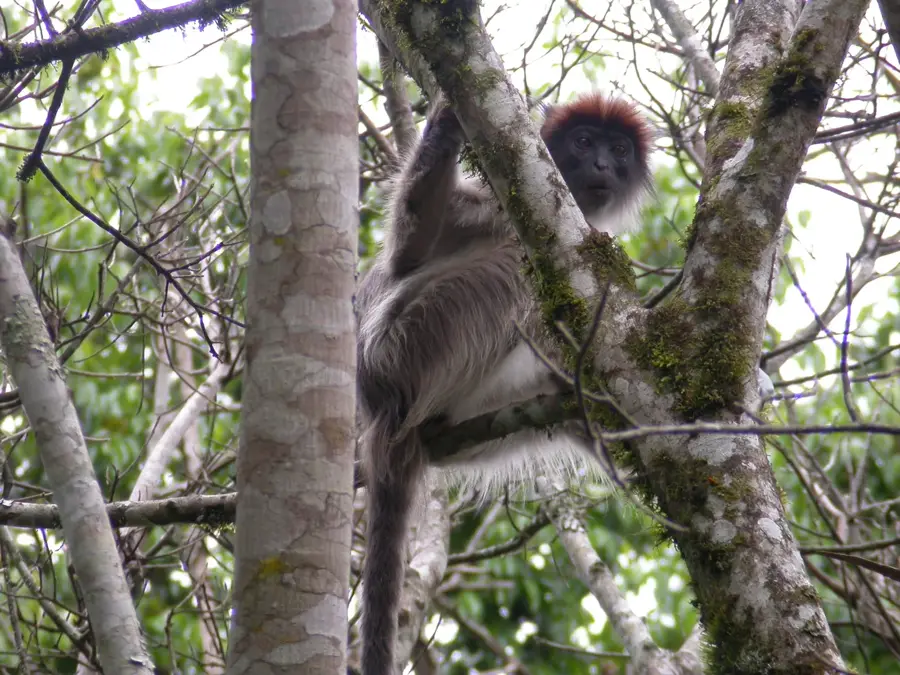
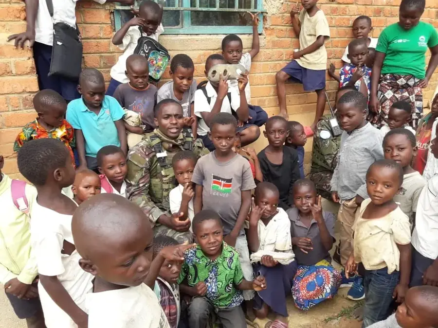
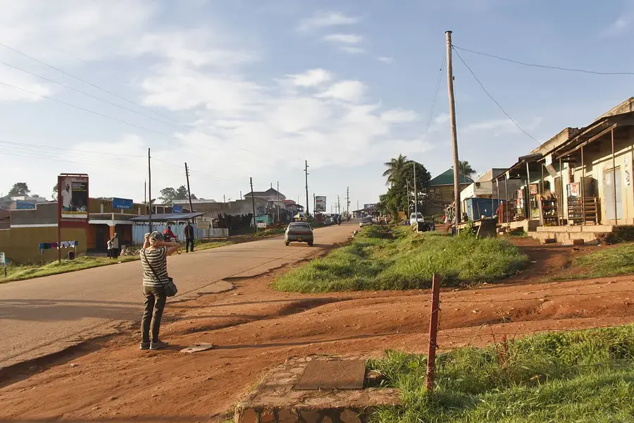
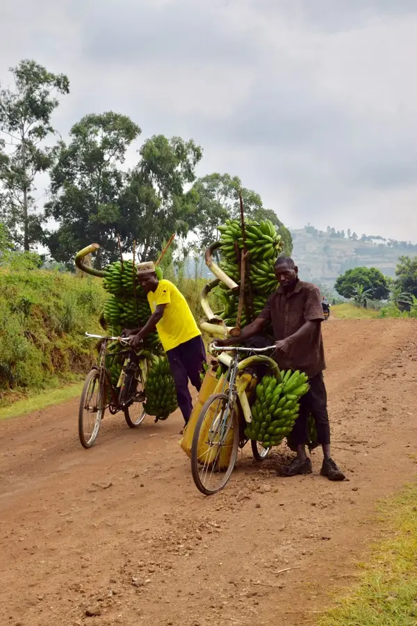
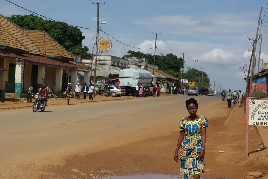
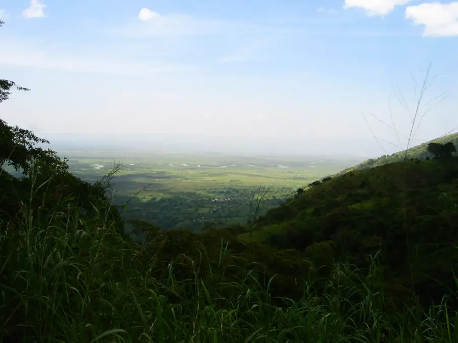
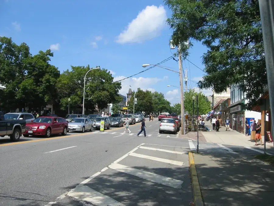
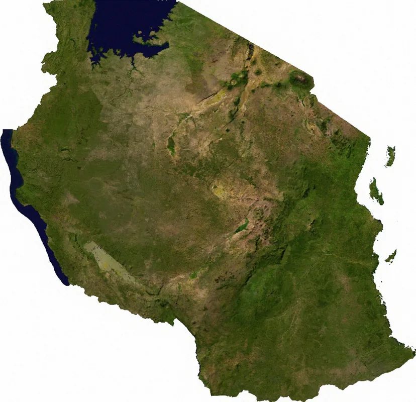
Bundibugyo is situated in the remote western reaches of Uganda, located in the dramatic foothills of the Ruwenzori Mountains near the border with the Democratic Republic of Congo. The town serves as a vital economic artery for the region, acting as a primary collection point for high-value agricultural exports such as cocoa, vanilla, and robusta coffee. Its strategic location makes it a melting pot of cultures, where the traditions of the local Bakonjo and Bamba people intertwine with cross-border influences from the neighboring Congo. The bustling markets of Bundibugyo offer a sensory feast, filled with the sights and sounds of regional trade and traditional Ugandan life. Beyond its commercial significance, the town is a gateway to the untamed wilderness of the Semuliki National Park, famous for its Sempaya hot springs and ancient tropical rainforest. Visitors to Bundibugyo are met with sweeping mountain scenery and a community that prides itself on its resilience and cultural heritage, making it a unique stop for those exploring Uganda's western frontier.
- Location: Uganda
- Top sights: Bundibugyo District · Fort Portal-Bundibugyo-Lamia Road
- Nearby: Semuliki National Park (10 km)
- Population: ~22.300 (2024)
Best time to visit & climate
The most pleasant time to visit is Jan, Feb, Jul.
| Jan | Feb | Mar | Apr | May | Jun | Jul | Aug | Sep | Oct | Nov | Dec | |
|---|---|---|---|---|---|---|---|---|---|---|---|---|
| Avg °C | 21 | 21 | 21 | 20 | 20 | 20 | 20 | 20 | 20 | 20 | 20 | 20 |
| Rain mm | 71 | 69 | 137 | 138 | 123 | 97 | 86 | 133 | 155 | 170 | 163 | 99 |
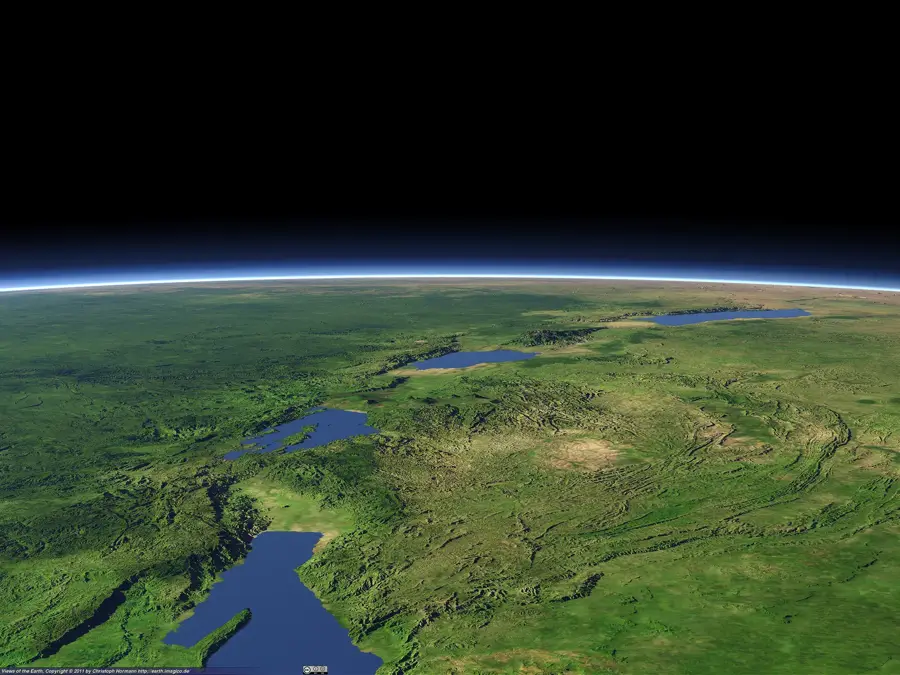
Geography
Facts
- Bundibugyo's population was 18,000 in the 2014 census.
- The town is located at an elevation of 900 meters.
- Bundibugyo District covers an area of 848 square kilometers.
- Annual coffee production is 4,000 tons.
- Average annual rainfall is 1,800 mm.
- The nearest major city is Fort Portal, 40 km east.
Explore nearby
Notable places around
Route planner — Car & Motorhome
Where do you start? We build the route here, with stops and country notes along the way.
© OpenStreetMap contributors · OpenRouteService
Frequently asked questions
How long should I stay in Bundibugyo?
When is the best time to visit Bundibugyo?
What is the best way to reach Bundibugyo?
What culinary experiences does the place offer?
Is Bundibugyo family-friendly?
Bundibugyo: where is it located?
Bundibugyo: what is there to see?
Bundibugyo: when is the best time to visit?
Bundibugyo: why is it worth visiting?

Nearby cities
Nature
More places