Plizio Visual Lab
Kyenjojo
ℹ️Practical info — Kyenjojo
▾
🌤 Weather — 5 days
📍 Nearby
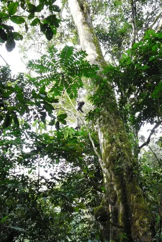
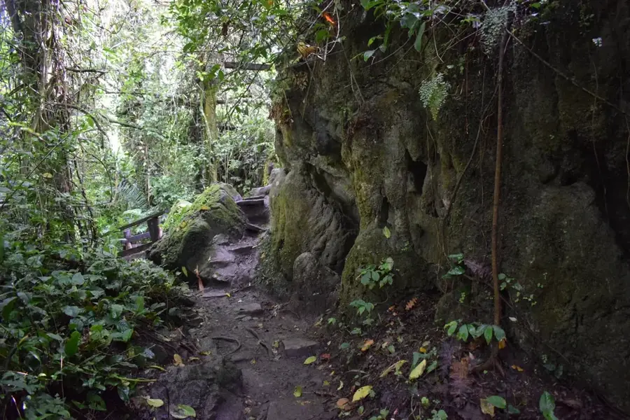
Sights nearby
💡 Tips
- Boda-bodas (motorcycle taxis) are common, but always agree on the fare before hopping on.
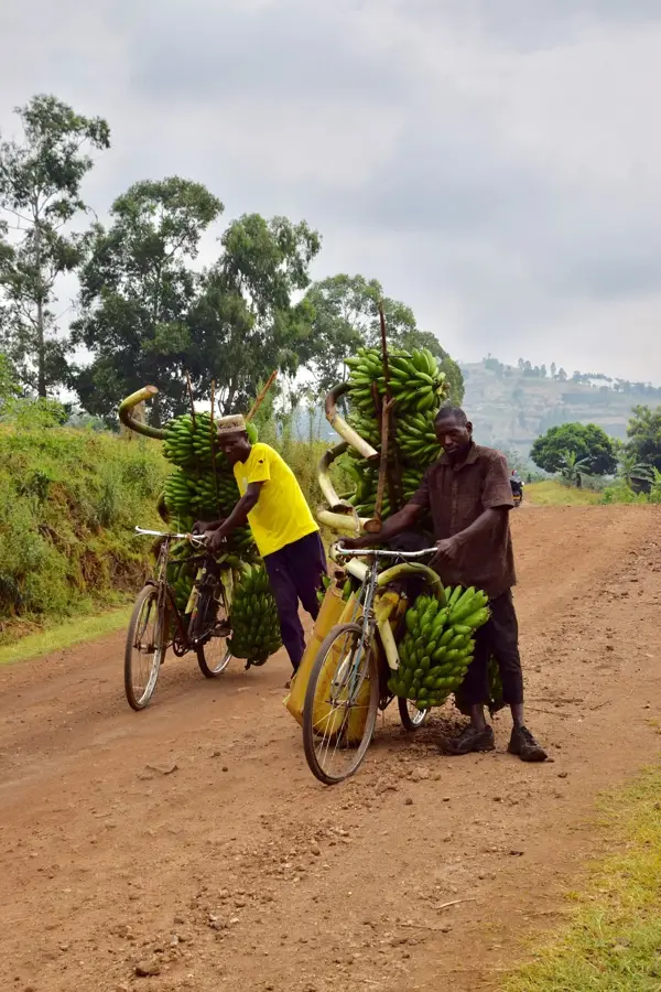
- Take a guided tour of the surrounding tea estates, which drive the local economy.
- Carry an umbrella, as the region can experience sudden, heavy rain showers.
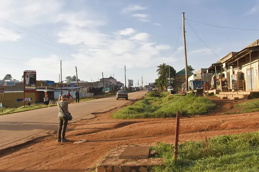
- The town is a major transit hub, making the main streets very busy during the day.
- Try local street food for a budget-friendly and authentic culinary experience.
🍽 Food
An omelette rolled inside a chapati, available at almost every street corner.
Steamed mashed green bananas served with a rich groundnut sauce at local diners.
Roasted meat on a stick, first-rate for a quick snack while exploring.
🛍 Shopping · 🧘 Quiet spots
A spirited market filled with fresh fruits, vegetables, and everyday essentials.
Pick up fresh bananas and pineapples directly from farmers along the main roads.
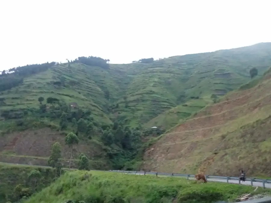
Take a peaceful walk along the borders of the lush green tea estates outside town.
The areas around the main churches are usually quiet and offer a moment of peace.
Water temperature…
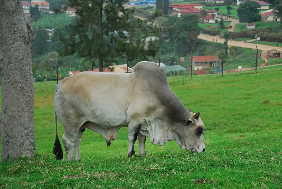
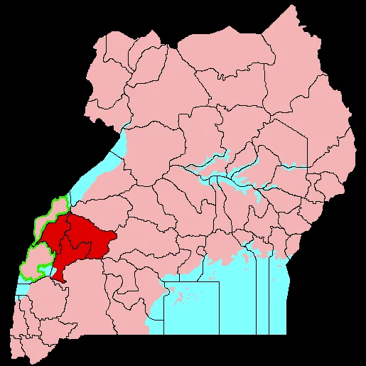
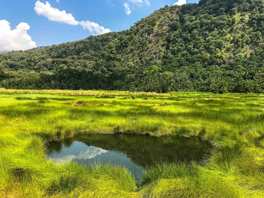
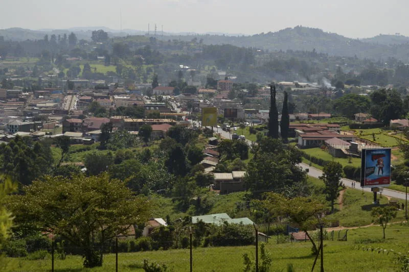
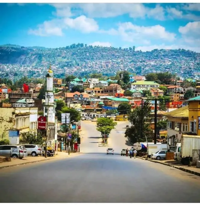
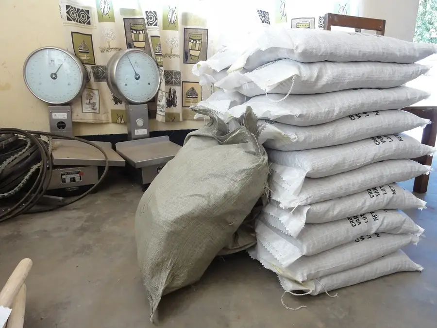
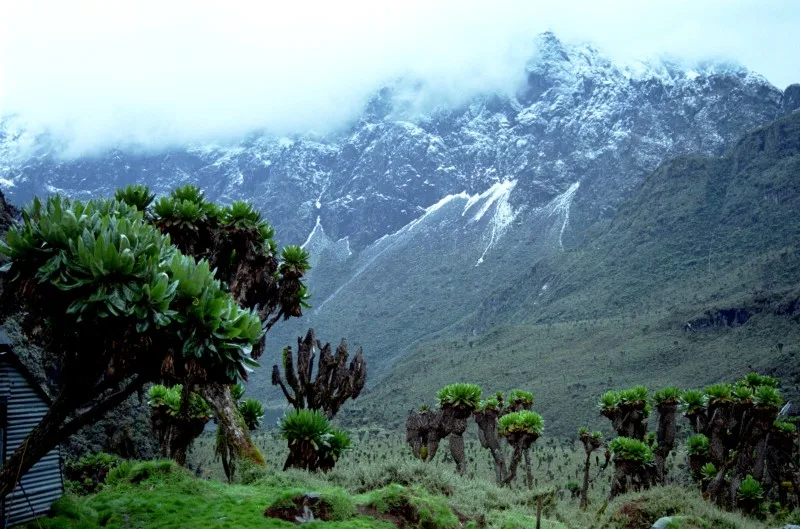
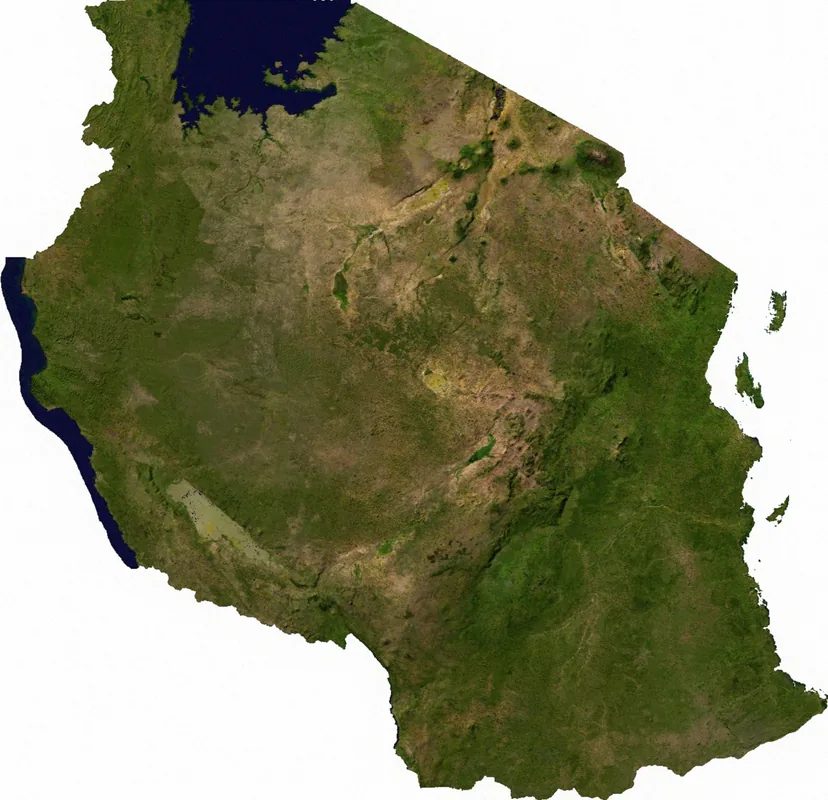
Kyenjojo is a significant urban center in Western Uganda, acting as the administrative and commercial heart of the Kyenjojo District. Situated along the major highway connecting Kampala to the western regions, it serves as a vital transit point for travelers heading toward the Rwenzori Mountains and various national parks. The surrounding landscape is breathtakingly green, characterized by rolling hills and expansive tea estates that form the backbone of the local economy. Kyenjojo's bustling markets offer a wide array of local produce, textiles, and traditional crafts, providing an authentic slice of Ugandan life. The region is deeply influenced by the culture of the Tooro Kingdom, which is evident in local customs and festivals. Despite its rapid growth, the town retains a pleasant rural charm, offering a peaceful atmosphere and serving as a gateway to the natural wonders of the Ugandan hinterland.
- Location: Uganda
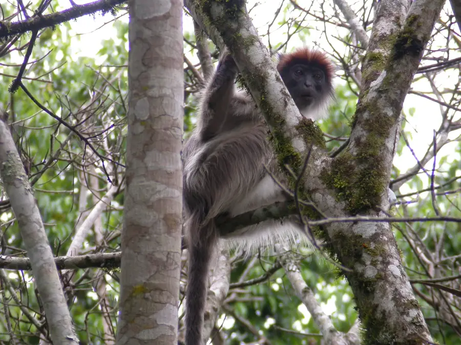
- Nearby: Kibale National Park (33 km)
- Population: ~28.600 (2024)
Best time to visit & climate
The most pleasant time to visit is Jan, Jun, Jul.
| Jan | Feb | Mar | Apr | May | Jun | Jul | Aug | Sep | Oct | Nov | Dec | |
|---|---|---|---|---|---|---|---|---|---|---|---|---|
| Avg °C | 22 | 23 | 22 | 21 | 21 | 21 | 21 | 21 | 21 | 21 | 21 | 21 |
| Rain mm | 60 | 61 | 118 | 126 | 116 | 72 | 69 | 111 | 138 | 159 | 155 | 96 |
Geography
Facts
- Kyenjojo's population was 13,000 in the 2014 census.
- The town is located at an elevation of 1,300 meters.
- Kyenjojo District covers an area of 2,535 square kilometers.
- Annual tea production is 3,000 tons.
- Average annual rainfall is 1,500 mm.
- The nearest major city is Fort Portal, 50 km northeast.
Explore nearby
Notable places around
Route planner — Car & Motorhome
Where do you start? We build the route here, with stops and country notes along the way.
© OpenStreetMap contributors · OpenRouteService
Sights in the town Kyenjojo (1)
Frequently asked questions
How long should one stay in Kyenjojo?
When is the best time to visit Kyenjojo?
How to get to Kyenjojo?
What is the local specialty?
Is Kyenjojo family-friendly?
Kyenjojo: where is it located?
Kyenjojo: when is the best time to visit?
Kyenjojo: why is it worth visiting?

Nearby cities
Nature
More places