Plizio Visual Lab
Kotido
ℹ️Practical info — Kotido
▾
🌤 Weather — 5 days
📍 Nearby
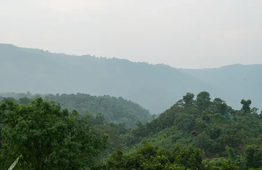
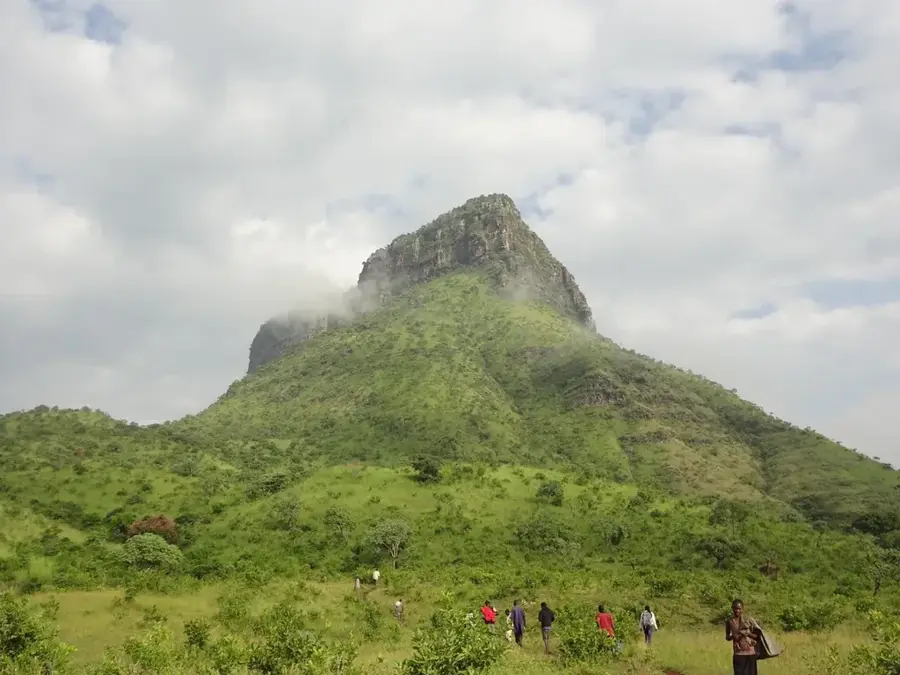
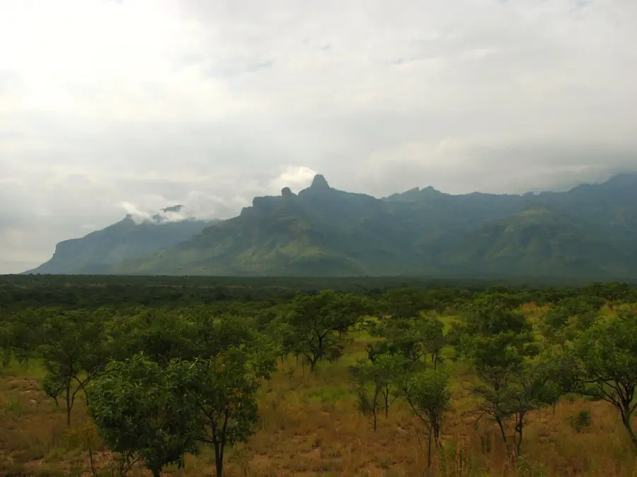
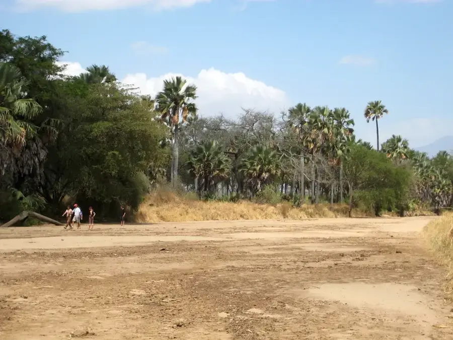
Sights nearby
💡 Tips
- Explore the bustling cattle markets early in the morning.
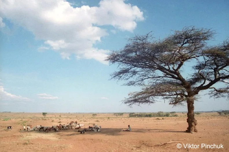
- Visit the traditional Karamojong manyattas (homesteads) with a local guide.
- Carry plenty of water and sun protection due to the semi-arid climate.
- Roads can be dusty; light, breathable clothing is recommended.
🍽 Food
A staple dish best enjoyed at small local eateries around the town center.
Find street vendors grilling fresh meat in the evenings.
Buy fresh mangoes and bananas from the central market.
🛍 Shopping · 🧘 Quiet spots
Look for these colorful traditional blankets at market stalls.
Beautifully crafted traditional jewelry sold by local artisans.
Head to the edges of the city for peaceful bird watching and savannah views.
Take a calm walk towards the low hills surrounding the settlement.
Water temperature…
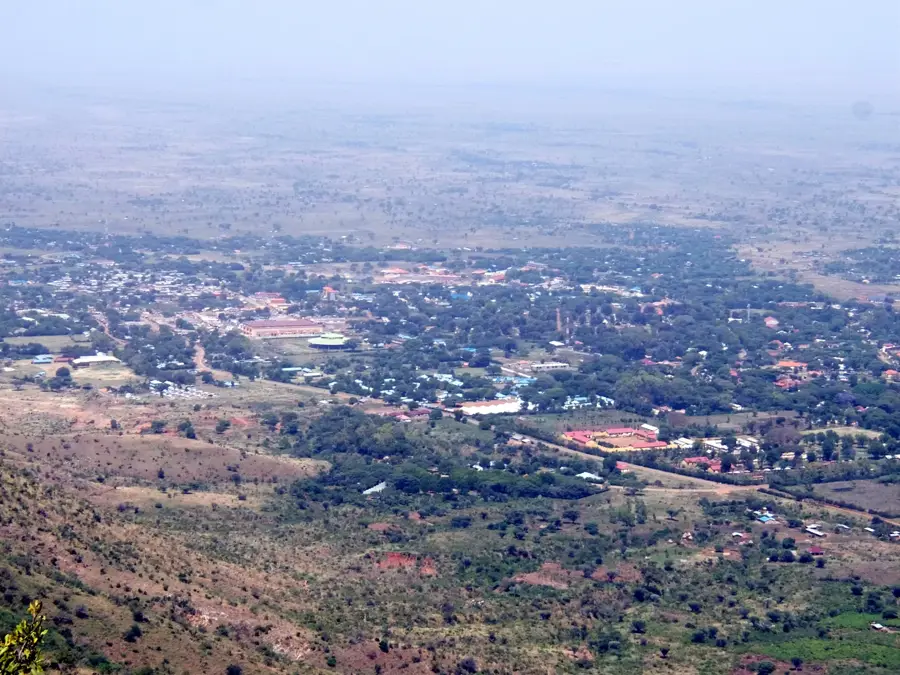
Kotido is a prominent urban center in the Karamoja sub-region of northeastern Uganda, serving as a cultural heartland for the Karimojong people. The city's identity is deeply intertwined with the traditional pastoralist lifestyle of its inhabitants, famous for hosting some of the largest livestock markets in East Africa. Here, cattle are not merely assets but central to social status and survival in the semi-arid landscape. Surrounding Kotido, one can find traditional "manyattas", fortified homesteads made of mud and wood that showcase the resilient architectural heritage of the region. As the administrative capital of the Kotido District, the town acts as a vital hub for trade and regional development in an otherwise remote part of the country. For those seeking to understand Uganda's diverse ethnic tapestry, Kotido features an unfiltered experience of indigenous customs, lively local dances, and the stark beauty of the Karamoja plains. Despite the challenges of the harsh climate, the town remains a lively place where ancient traditions meet the gradual influence of modern infrastructure.
- Location: Uganda
- Nearby: Moroto (72 km)
- Population: ~75.700 (2024)
Best time to visit & climate
The most pleasant time to visit is Jan, Nov, Dec.
| Jan | Feb | Mar | Apr | May | Jun | Jul | Aug | Sep | Oct | Nov | Dec | |
|---|---|---|---|---|---|---|---|---|---|---|---|---|
| Avg °C | 26 | 27 | 27 | 25 | 24 | 23 | 23 | 23 | 24 | 24 | 24 | 24 |
| Rain mm | 9 | 9 | 38 | 88 | 112 | 83 | 86 | 96 | 85 | 90 | 49 | 37 |
Geography
Facts
- Kotido's population was 14,500 in the 2014 census.
- The town is located at an elevation of 1,200 meters.
- Kotido District covers an area of 4,029 square kilometers.
- Cattle population in the district is about 100,000.
- Average annual rainfall is 800 mm.
- The nearest major city is Moroto, 80 km south.
Explore nearby
Notable places around
Route planner — Car & Motorhome
Where do you start? We build the route here, with stops and country notes along the way.
© OpenStreetMap contributors · OpenRouteService
Frequently asked questions
How long should one stay in Kotido?
When is the weather best in Kotido?
How to get to Kotido?
What is typical for the cuisine in Kotido?
Is Kotido a destination for families?
Kotido: where is it located?
Kotido: when is the best time to visit?
Kotido: why is it worth visiting?

Nearby cities
More places