Plizio Visual Lab
Pare Mountains
Weather…
Water temperature…
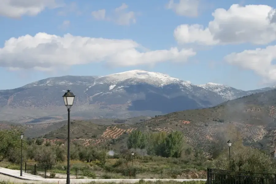
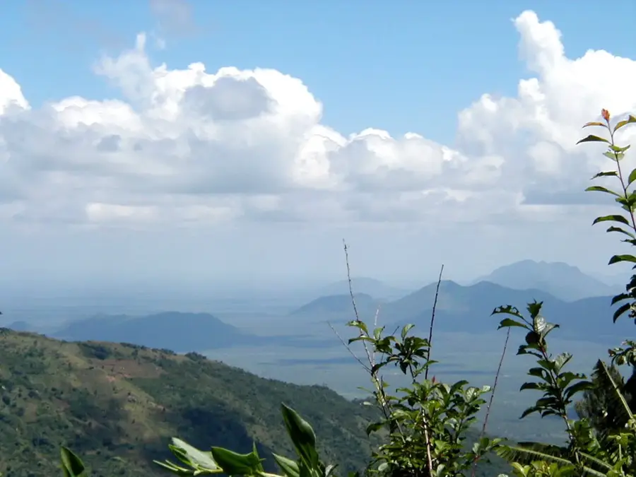
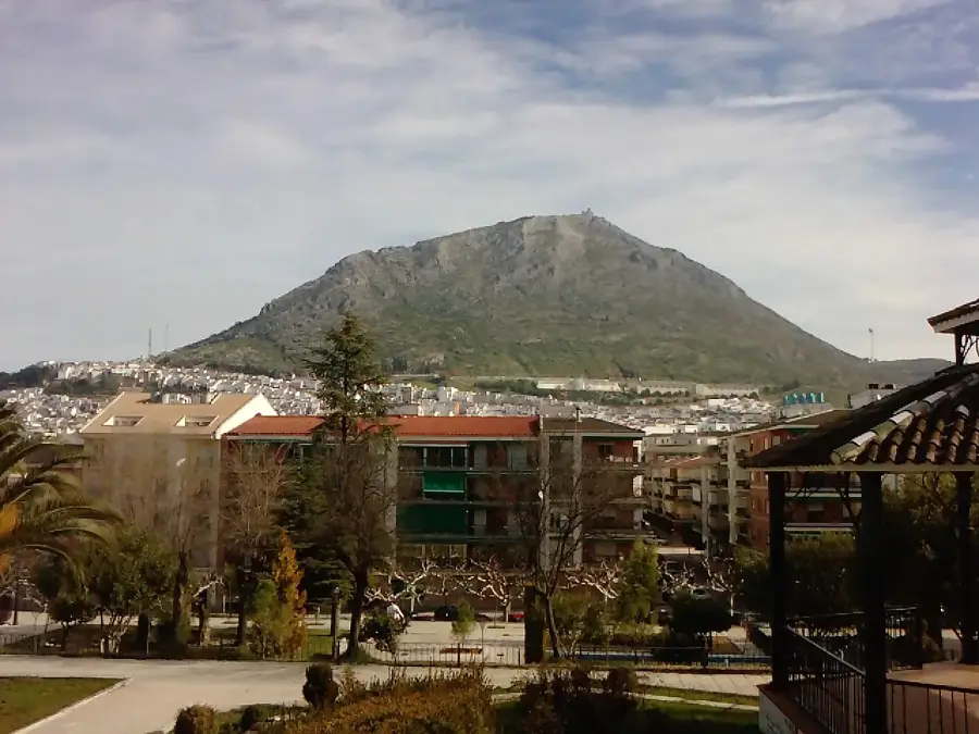
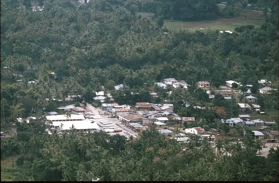
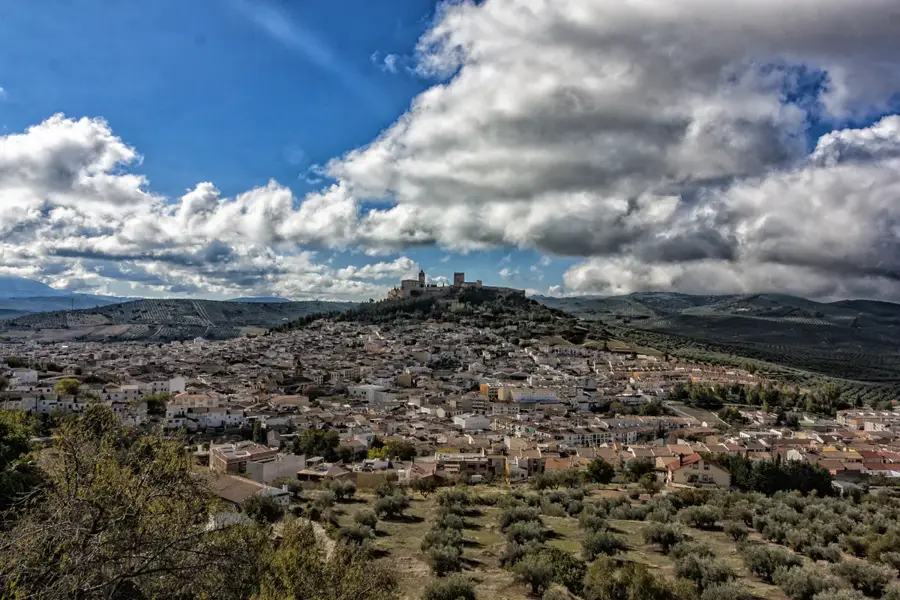
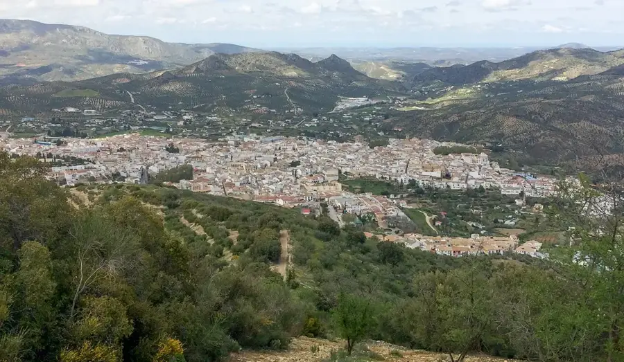
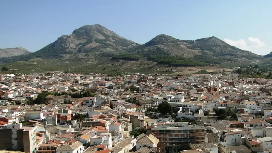
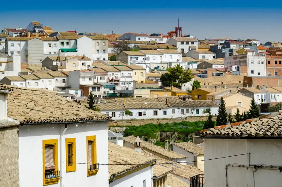
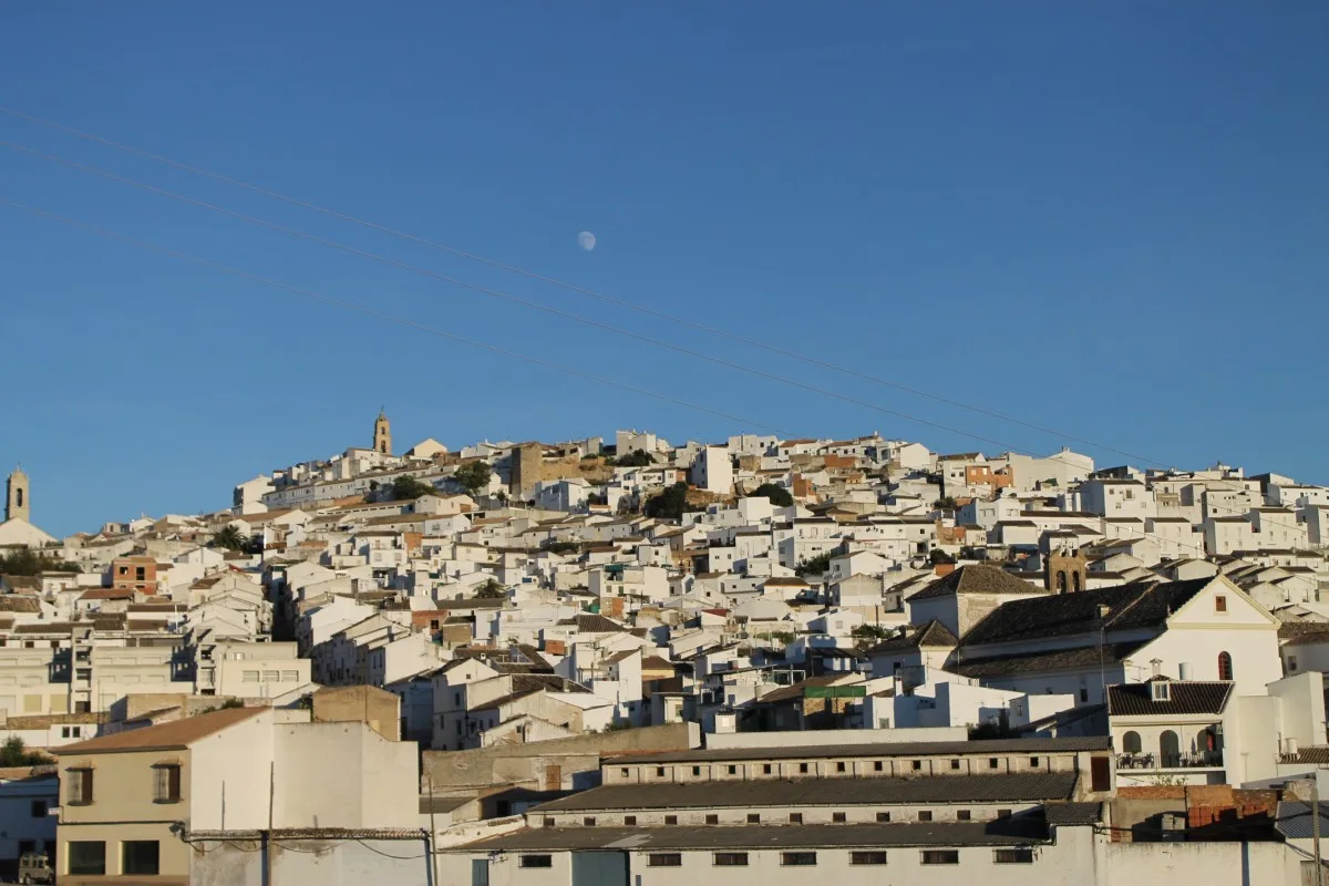
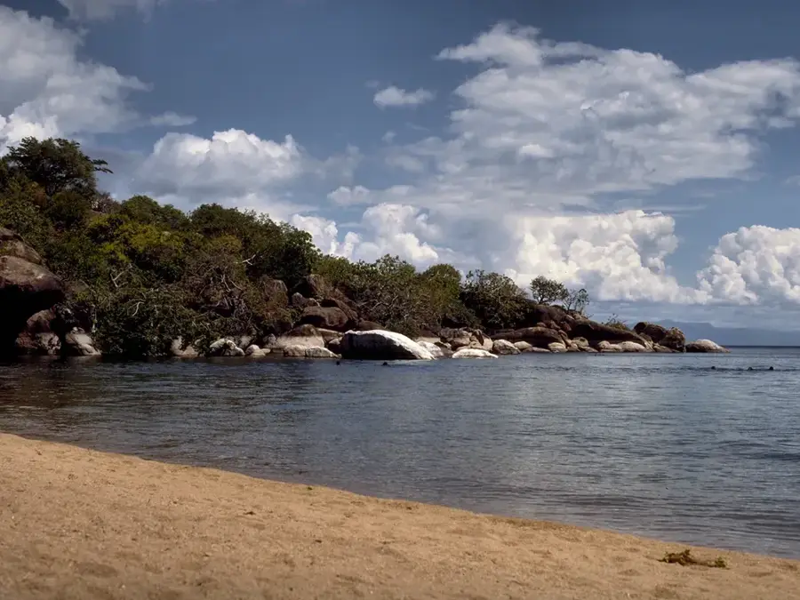
The Pare Mountains are part of the Eastern Arc Mountains chain in northeastern Tanzania, stretching between the Kilimanjaro and Usambara ranges. Divided into the North and South Pare Mountains, the range is characterized by steep ridges, deep valleys, and lush montane forests that serve as critical water catchment areas for the surrounding plains. The highest point is Shengena Peak in the southern range, reaching an elevation of 2,463 meters above sea level. For centuries, the mountains have been inhabited by the Pare people, who developed sophisticated traditional irrigation systems and terraced farming techniques to manage the rugged terrain. These forests are home to endemic species of flora and fauna, although they face pressure from agricultural expansion and timber extraction. The cultural heritage of the Pare people, combined with the biodiversity of the high-altitude forests, makes the mountains a vital part of Tanzania's ecological and social landscape.
- Location: Tanzania
- Nearby: Mwanga (14 km)
📋 Practical info
Geography
Facts
- Part of the Eastern Arc Mountains
- Highest point Shengena Peak (2,463 m)
- Divided into North and South Pare
- Home to the Pare (Asu) people
- Traditional irrigation systems
- Critical water catchment area
Explore nearby
Notable places around
Route planner — Car & Motorhome
Where do you start? We build the route here, with stops and country notes along the way.
© OpenStreetMap contributors · OpenRouteService
Sights nearby
Frequently asked questions
What hiking trails are there in the Pare Mountains?
Is the region suitable for families?
When should one travel here?
Are there restaurants nearby?
What is the climate like in the Pare Mountains?
Pare Mountains: where is it located?
Pare Mountains: why is it worth visiting?

Nearby cities


History & landmarks

Nature
More places