Plizio Visual Lab
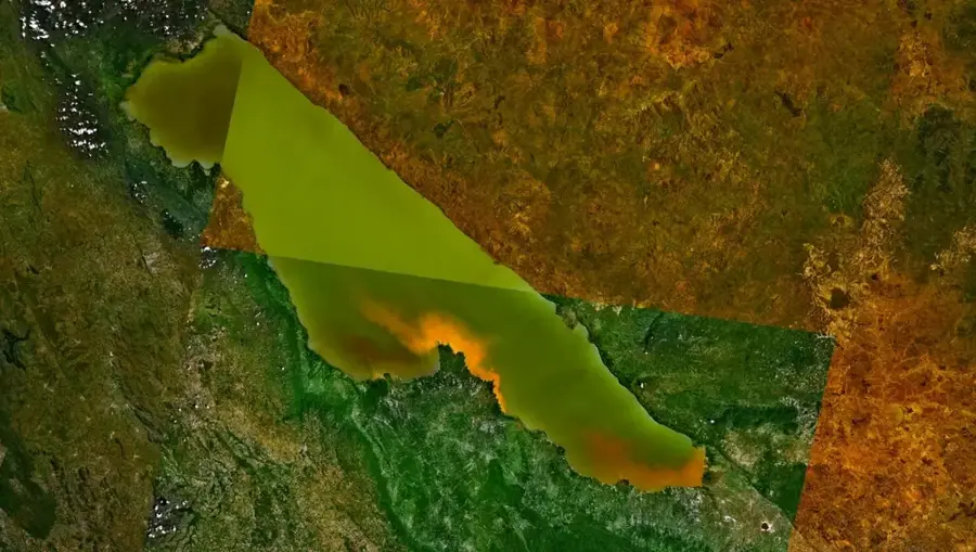
Pangani River Basin

Weather…
Water temperature…
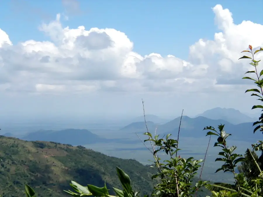
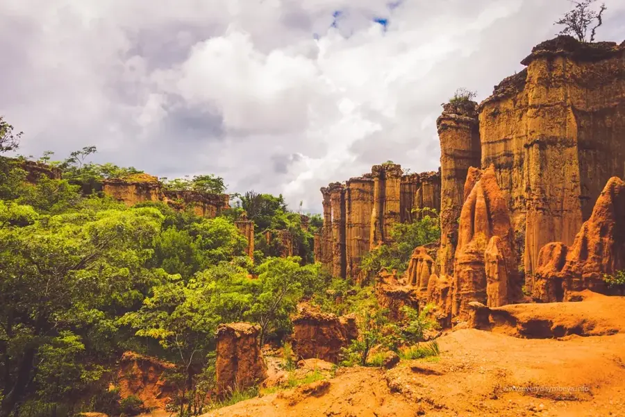
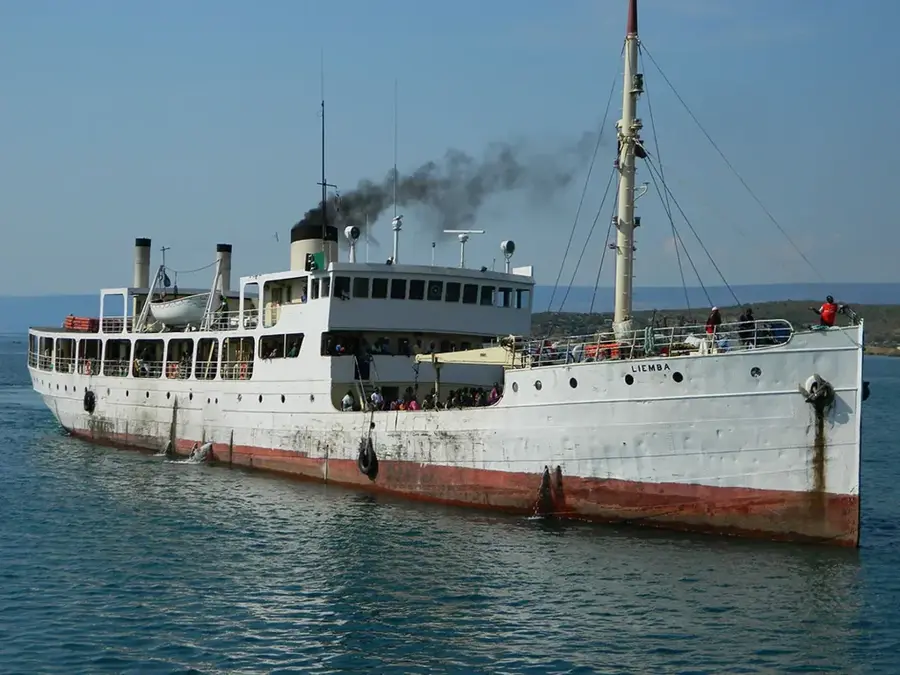
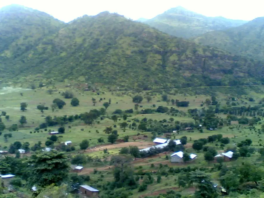
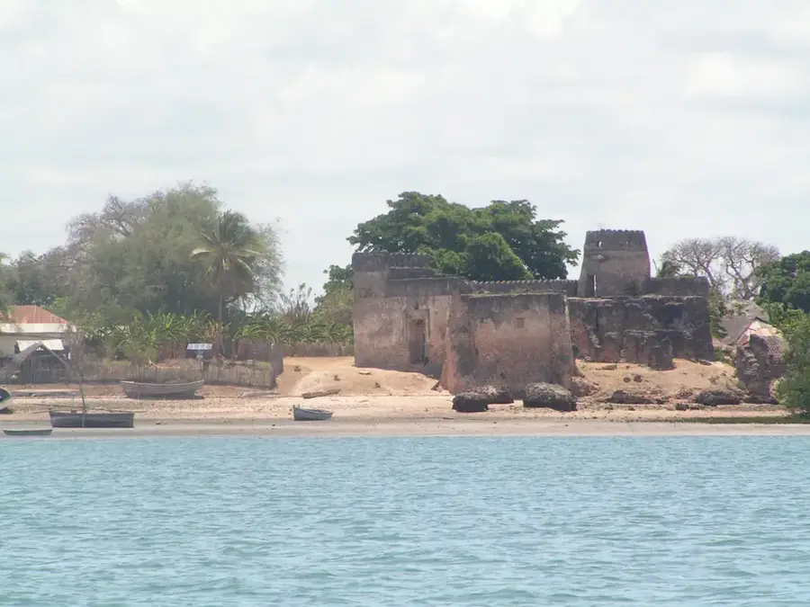
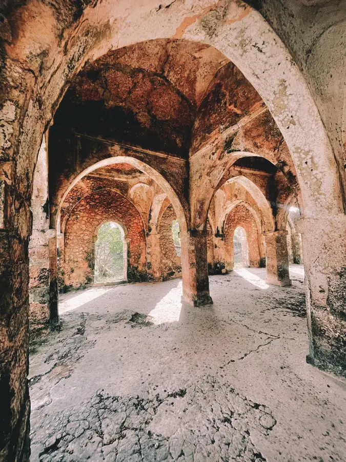
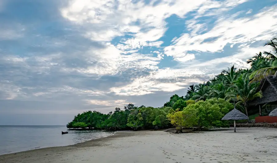
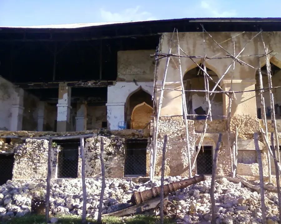
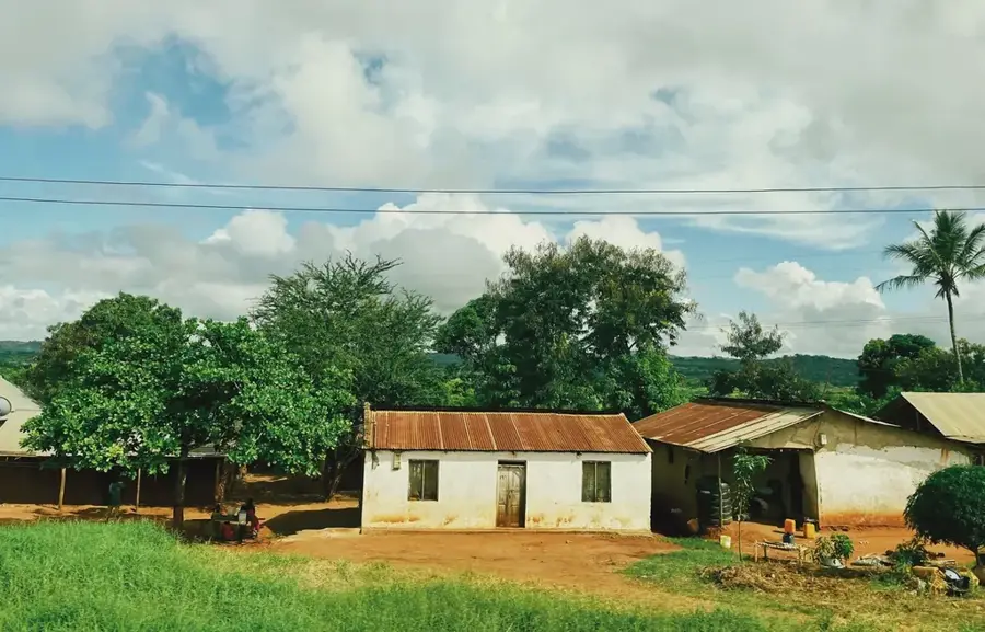
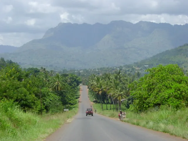
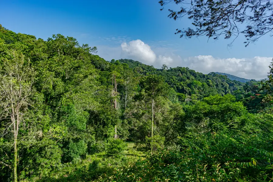
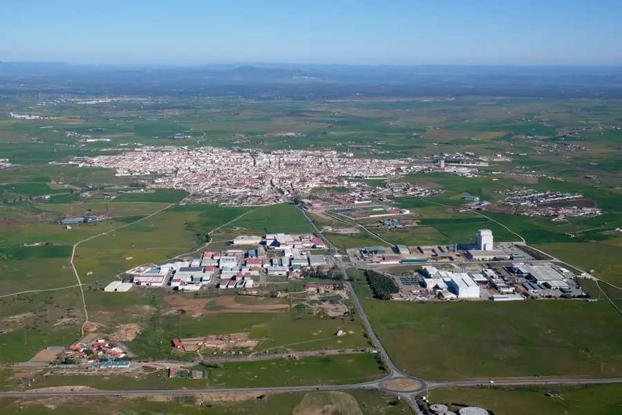
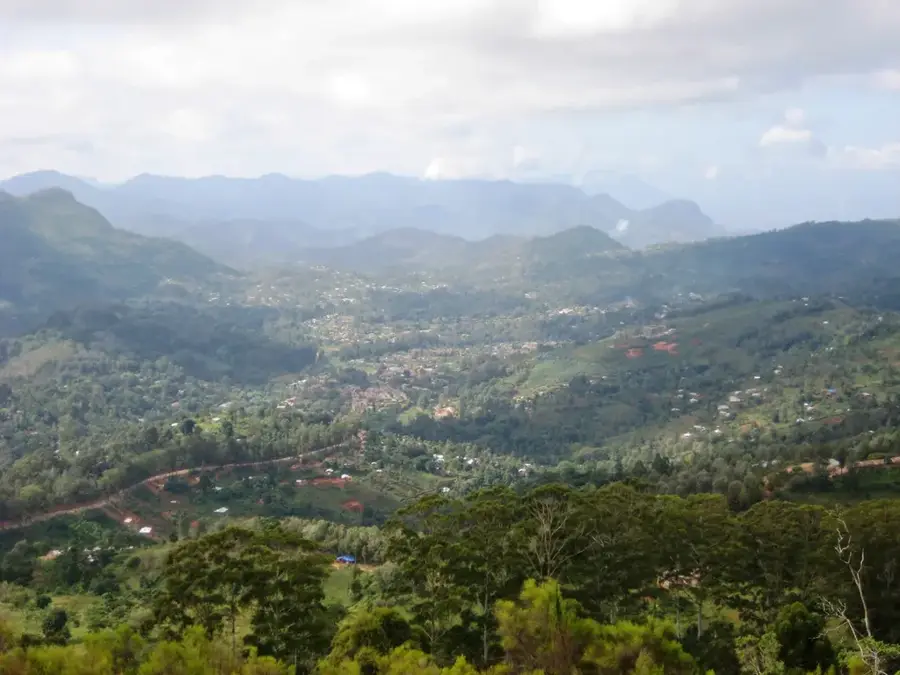
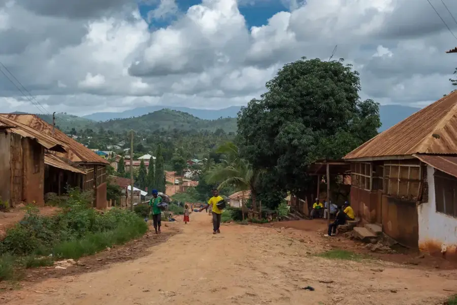
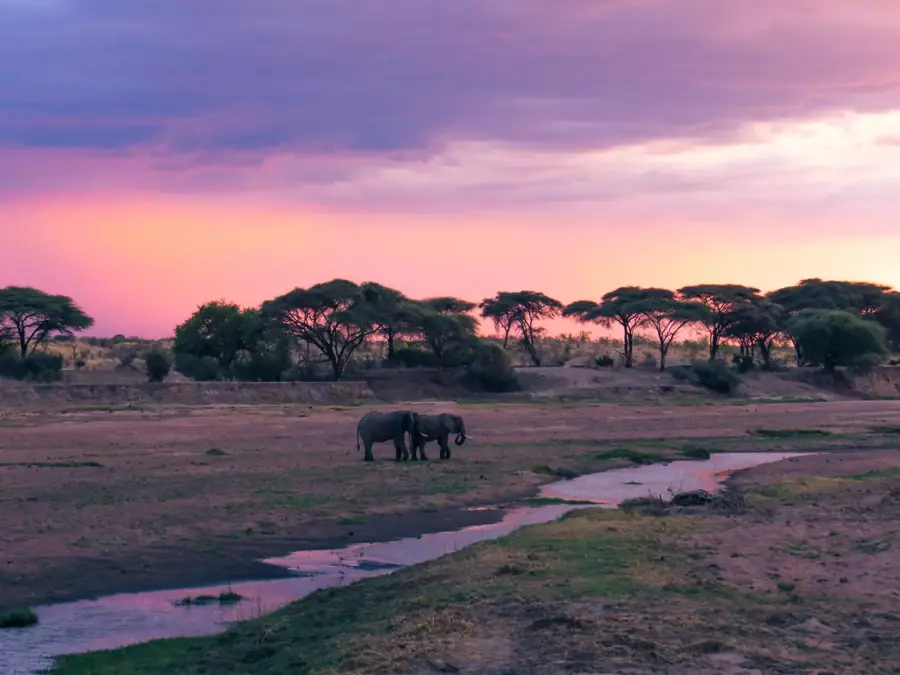
The Pangani River Basin in northeastern Tanzania is a geographically diverse region, extending from the glaciers of Mount Kilimanjaro and the slopes of Mount Meru to the Indian Ocean. The river itself is formed by the confluence of the Kikuletwa and Ruvu rivers, flowing for approximately 500 kilometers through fertile plains and deep gorges. Geologically, the basin features volcanic soils in the upper reaches and sedimentary deposits at the estuary, supporting intensive agricultural activities. Historically, the river mouth at Pangani town was a significant hub for the ivory and slave trades, later becoming a center for sisal production during the German colonial period. Today, the basin is vital to the national economy, primarily through hydroelectric power generation at the Nyumba ya Mungu and Hale dams. However, the ecosystem faces challenges of water scarcity and soil salinization due to increasing water diversion for irrigating large-scale rice fields and plantations.
- Location: Tanzania
- Nearby: Handeni (26 km)
Best time to visit & climate
The most pleasant time to visit is Jun–Aug.
| Jan | Feb | Mar | Apr | May | Jun | Jul | Aug | Sep | Oct | Nov | Dec | |
|---|---|---|---|---|---|---|---|---|---|---|---|---|
| Avg °C | 27 | 27 | 27 | 26 | 25 | 24 | 23 | 24 | 25 | 26 | 26 | 27 |
| Rain mm | 113 | 84 | 151 | 279 | 187 | 36 | 26 | 34 | 46 | 125 | 167 | 137 |
📋 Practical info
Geography
Facts
- River length: approx. 500 kilometers
- Sources: Kilimanjaro and Mount Meru
- Main dam: Nyumba ya Mungu
- Outflow: Pangani town (Indian Ocean)
- Economic history: sisal production
- Main tributaries: Kikuletwa and Ruvu
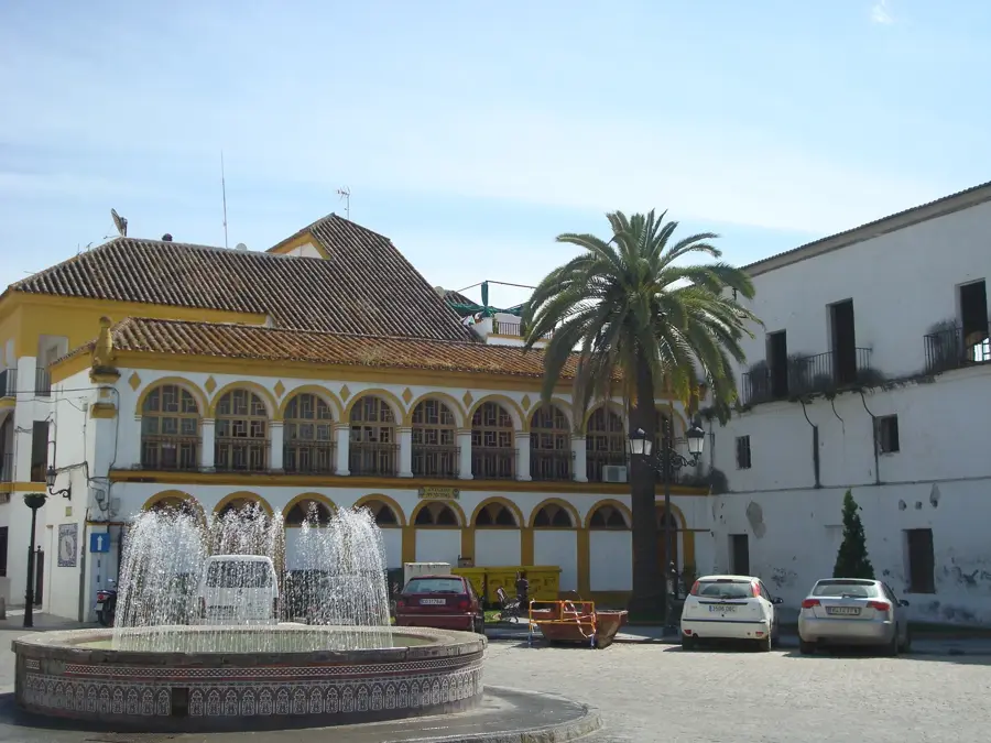
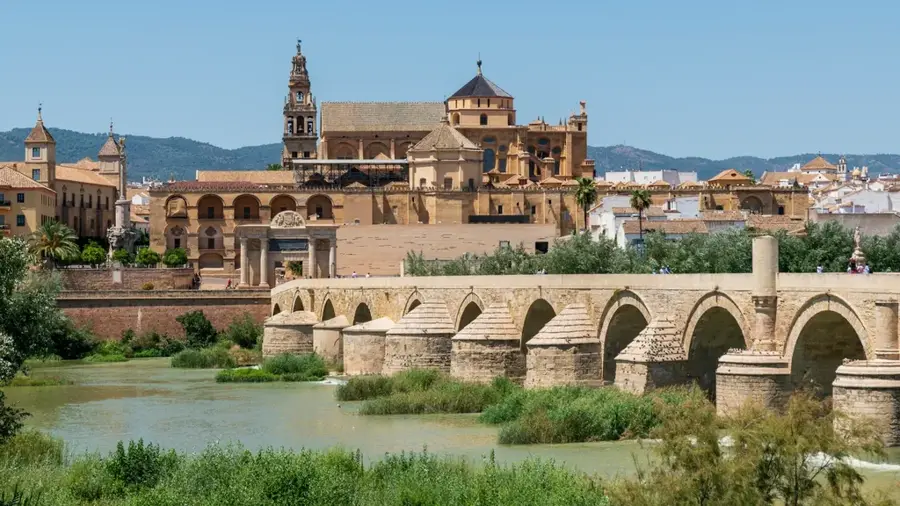
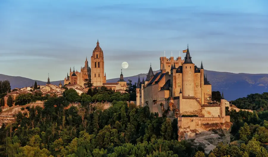
Explore nearby
Notable places around
Route planner — Car & Motorhome
Where do you start? We build the route here, with stops and country notes along the way.
© OpenStreetMap contributors · OpenRouteService
Sights nearby
Frequently asked questions
When is the best time to visit the Pangani river basin?
Is hiking in the Pangani river basin dangerous?
Are there sanitary facilities in the region?
What is the weather like in the Pangani river basin?
Do I need a car in the Pangani river basin?
Pangani River Basin: where is it located?
Pangani River Basin: when is the best time to visit?
Pangani River Basin: why is it worth visiting?

Nearby cities
History & landmarks
Nature
More places