Plizio Visual Lab
White Nile
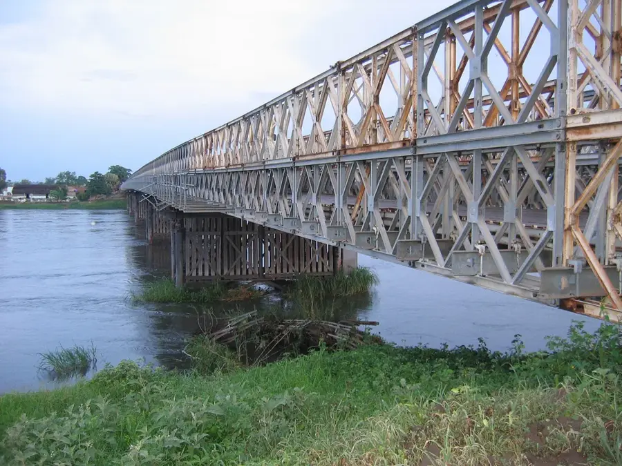
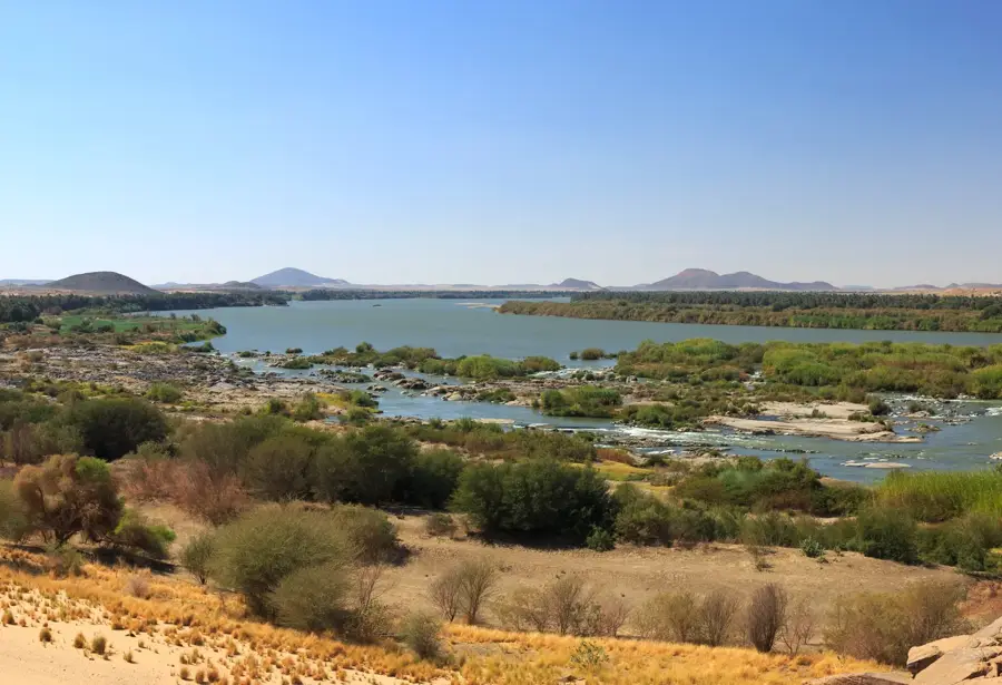
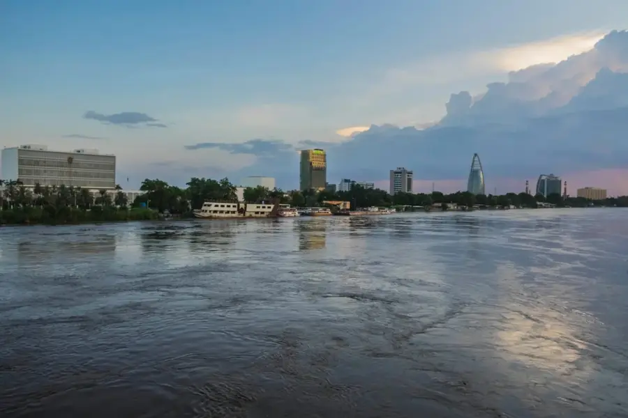
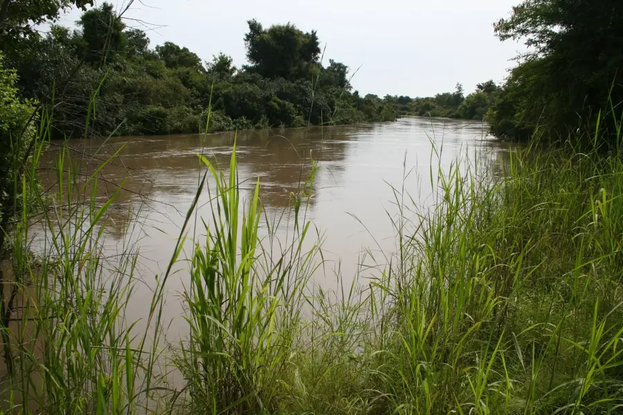
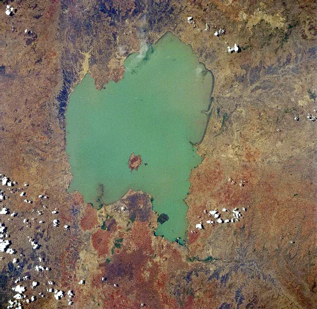
The White Nile is the longer of the two main Nile tributaries and is characterized by a particularly steady water flow. It originates in the mountains of Burundi and Rwanda, flows through Lake Victoria, and traverses Uganda before entering South Sudan as the Bahr al-Jabal. A defining feature of the White Nile is the Sudd basin, one of the world's largest wetlands, where the river loses vast amounts of water to evaporation while creating a unique ecological niche. In Sudan, the river widens and flows gently through flat plains, making it a well-suited waterway for transport. Unlike the Blue Nile, the White Nile carries far less sediment, giving it a clearer, paler appearance from which its name is derived. River regulation through dams like the Jebel Aulia Dam south of Khartoum serves to manage water levels for agriculture and navigation. For riparian nations, the White Nile is of immense importance for fisheries and as a reliable source of drinking water, especially during the dry season when other rivers fail.
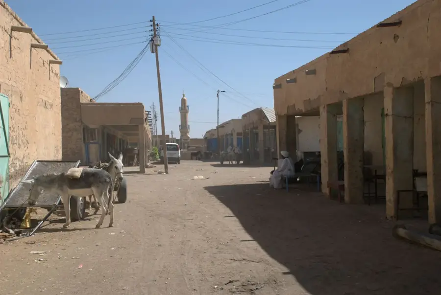
- Location: Sudan
- Top sights: Goethe Institute Theatre · Turkish Tombs · Atanye
- Nearby: Omdurman (7 km)
Best time to visit & climate
The most pleasant time to visit is Jan, Feb, Dec.
| Jan | Feb | Mar | Apr | May | Jun | Jul | Aug | Sep | Oct | Nov | Dec | |
|---|---|---|---|---|---|---|---|---|---|---|---|---|
| Avg °C | 22 | 25 | 28 | 31 | 34 | 35 | 33 | 31 | 32 | 32 | 27 | 23 |
| Rain mm | 0 | 0 | 0 | 1 | 3 | 5 | 44 | 58 | 20 | 9 | 0 | 0 |
📋 Practical info
Geography
Facts
- The total length of the White Nile from its most distant source is approximately 3,700 kilometers.
- The river loses about 50% of its water volume in the Sudd wetlands due to evapotranspiration.
- The Jebel Aulia Dam was completed in 1937 to regulate Nile flooding downstream in Egypt.
- The flow velocity is significantly lower than that of the Blue Nile due to the minimal gradient.
- The White Nile provides about 15% to 30% of the Nile's water during the summer flood season.
- During the dry season, the White Nile's contribution to the total water volume rises to as much as 80%.
Explore nearby
Notable places around
Route planner — Car & Motorhome
Where do you start? We build the route here, with stops and country notes along the way.
© OpenStreetMap contributors · OpenRouteService
Sights in the town White Nile (7)
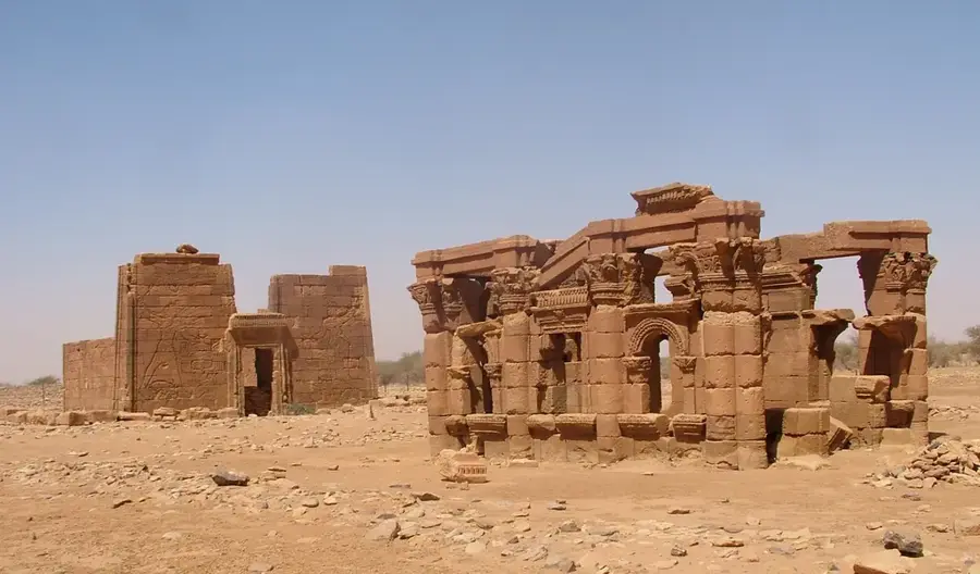
Turkish Tombs
Ottoman tombs in Khartoum, burial site of Turkish soldiers and officials from the Ottoman period.
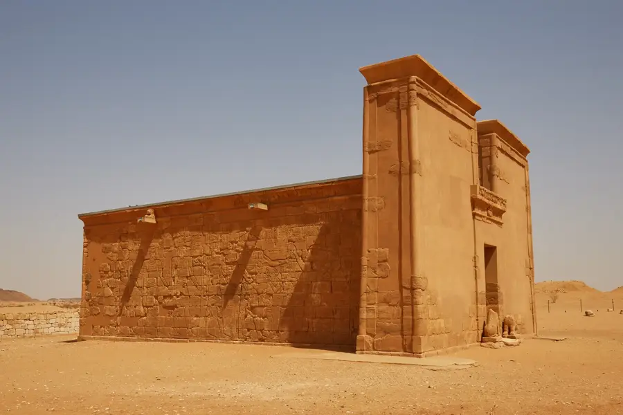
Atanye
Gallery in Khartoum, presents works by local artists, focus on painting and mixed media.
Ethnological Museum🏛 museum
Ethnological museum in Khartoum, displays traditional clothing, tools and everyday items of Sudanese ethnic groups.
Palace Museum🏛 museum
Museum in the Presidential Palace in Khartoum, historical artifacts and documents on Sudan's history.
United Nations Development Programme (UNDP)
Monument to UNDP in Khartoum, commemorates UN development cooperation in Sudan.
Khaish Art Studio
Art gallery and studio in Khartoum, contemporary Sudanese art, painting and graphic art.
Sights nearby
Frequently asked questions
Does the White Nile differ from the Blue Nile?
Are there water sports?
Is the area safe?
Is there tourist infrastructure?
When is wildlife viewing best?
White Nile: where is it located?
White Nile: what is there to see?
White Nile: when is the best time to visit?
White Nile: why is it worth visiting?

Nearby cities

History & landmarks

Nature
More places