Plizio Visual Lab
Ad-Damir

ℹ️Practical info — Ad-Damir
▾
🌤 Weather — 5 days
📍 Nearby
Sights nearby
💡 Tips
- The town is famous for its Islamic scholars and historical mosques; dress respectfully.
- Friday prayers are busy; the town slows down significantly during this time.
- Tuk-tuks are convenient for short trips between the market and residential areas.
- The agricultural surroundings mean fresh produce is abundant and cheap.
- Sun protection is crucial due to the intense desert sun.
🍽 Food
Sudanese falafel made from chickpeas or fava beans, grab it hot from a street vendor.
The region is known for agriculture, so try the locally grown dates.
A thick, spongy wheat bread, often eaten with meat stews.
🛍 Shopping · 🧘 Quiet spots
A great place to buy fresh mangoes, dates, and local agricultural goods.
Stock up on cumin, coriander, and locally mixed spice blends.
Take a walk at the edge of town where the green fields contrast with the desert.
The courtyards of older mosques offer a shaded, peaceful retreat.
Water temperature…
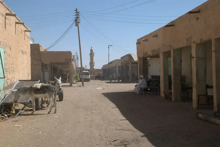
Ad-Damir is the capital city of the River Nile State in northern Sudan, situated precisely at the confluence where the Atbara River joins the mighty Nile. The city holds a unique position as one of Sudan's most respected centers of Islamic scholarship and Sufi tradition, largely due to the historic influence of the Al-Majadhib family. This spiritual legacy is evident in the city's numerous historical mosques and religious schools, which have for centuries attracted seekers of knowledge from across the Sahel. Economically, Ad-Damir is an essential agricultural hub, leveraging the fertile silt deposited by the seasonal flooding of the Atbara. The surrounding areas are famous for producing high-quality onions, dates, and citrus fruits, which are distributed via the strategic road and rail networks that pass through the city. Unlike its industrial neighbor Atbara, Ad-Damir retains a more administrative and traditional character, characterized by wide streets, government offices, and a slower pace of life. The city's market is a focal point for regional trade, where desert nomads and riverine farmers meet to exchange goods. Historically, its location made it a vital stop for caravans traveling between the Nile valley and the Red Sea coast. The climate is hyper-arid, with extremely high temperatures during the summer months, making the Nile the indispensable lifeblood of the community. As a provincial capital, it continues to evolve with new infrastructure projects aimed at improving irrigation and social services, while remaining a bastion of Sudanese religious and cultural heritage.
Explore on the map
How well do you know Sudan?
Find cities, landscapes and regions in 10 varied challenges on the interactive map.
Your journey, your memory
A postcard from Ad-Damir
Turn your own photo into a personal postcard with a local stamp. Free and no sign-up required.
Create a postcard- Location: Sudan
- Nearby: Berber (48 km)
- Population: ~103.941 (2026)
Best time to visit & climate
The most pleasant time to visit is Jan, Feb, Dec.
| Jan | Feb | Mar | Apr | May | Jun | Jul | Aug | Sep | Oct | Nov | Dec | |
|---|---|---|---|---|---|---|---|---|---|---|---|---|
| Avg °C | 21 | 24 | 27 | 31 | 34 | 36 | 35 | 34 | 35 | 32 | 27 | 23 |
| Rain mm | 0 | 0 | 0 | 1 | 3 | 1 | 12 | 21 | 7 | 3 | 0 | 0 |
Geography
Facts
- Administrative capital of the River Nile State.
- Located at the strategic junction of the Atbara River and the Nile.
- Renowned as a center for Islamic jurisprudence and education.
- Major producer of onions and dates for the Sudanese market.
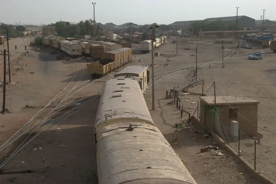
- A key station on the North-South railway line.
- Historically significant for caravan routes to the Red Sea.
- Home to the Al-Majadhib Sufi sect's central shrine and school.
- The city’s geography is dominated by fertile riverbanks and arid desert.
Explore nearby
Notable places around
Route planner — Car & Motorhome
Where do you start? We build the route here, with stops and country notes along the way.
© OpenStreetMap contributors · OpenRouteService
Sights in the town Ad-Damir (1)
Frequently asked questions
Where exactly is Ad-Damir located?
Is the city tourist-friendly?
What is the climate like there?
Are there any sights?
Are there local markets?
Ad-Damir: where is it located?
Ad-Damir: when is the best time to visit?
Ad-Damir: why is it worth visiting?

Nearby cities
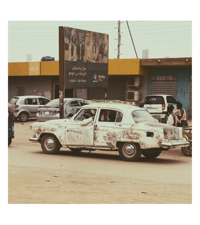
History & landmarks
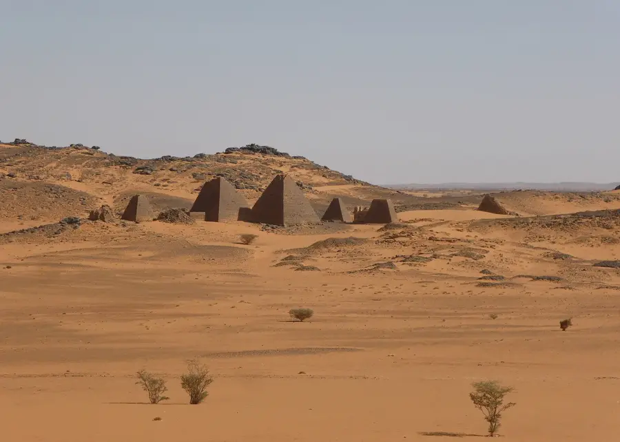
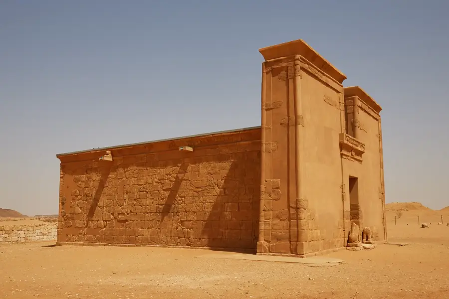
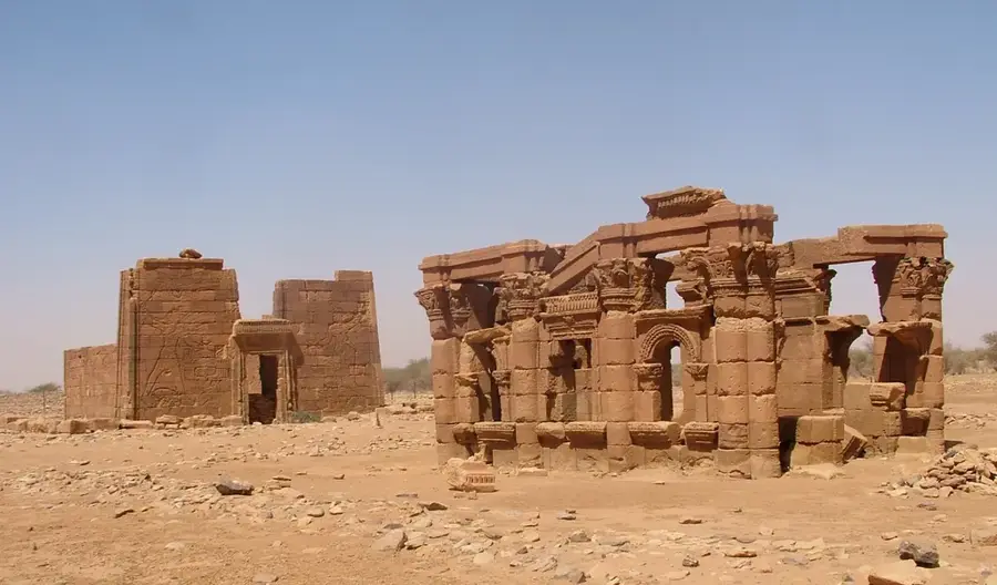
Nature
More places