Plizio Visual Lab
Khartoum Bahri
ℹ️Practical info — Khartoum Bahri
▾
🌤 Weather — 5 days
📍 Nearby
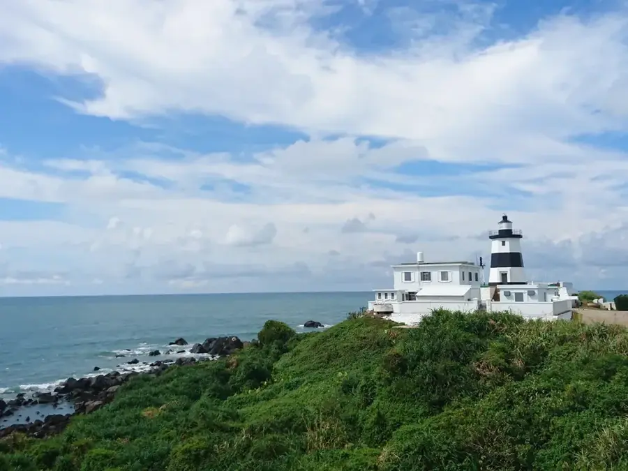
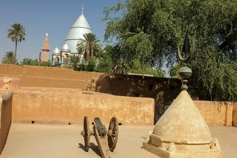
Sights nearby
💡 Tips
- Friday mornings are the quietest time to travel around, as traffic is very light.
- Negotiate rickshaw (raksha) fares before starting your journey; meters are not used.
- Visit the industrial areas with a local guide if you are interested in the city's commercial side.
- Be cautious when photographing public buildings and infrastructure, as this can be frowned upon or restricted.
🍽 Food
A hearty fava bean dish served with bread at local morning cafes.
Spicy grilled meat found at street food stalls in the evening.
Mashed fava beans with onions and tomatoes, popular in neighborhood eateries.
🛍 Shopping · 🧘 Quiet spots
The main bustling market area for fresh produce, spices, and everyday items.
Pick up some freshly roasted Sudanese coffee beans.
Walk along the less crowded stretches of the riverbank near the bridges.
Small neighborhood parks offer a shaded spot to sip tea in the late afternoon.
Water temperature…
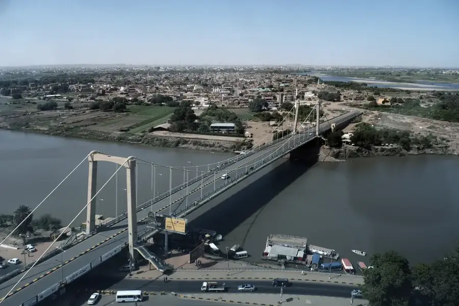
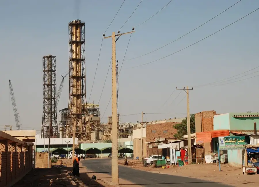
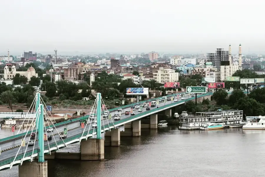
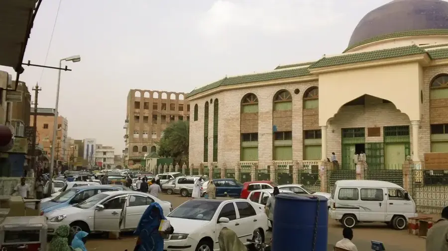
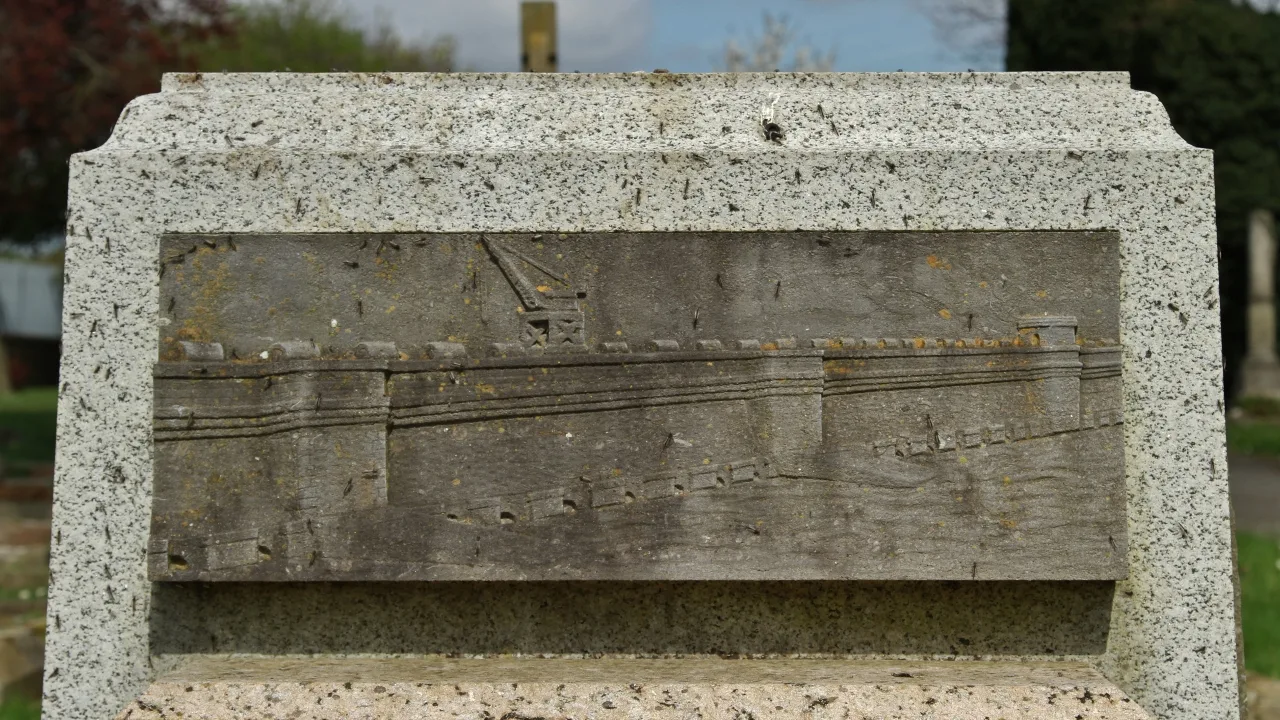
Khartoum Bahri, also known as North Khartoum, is the third component of Sudan's tripartite metropolitan area, situated on the north bank of the Blue Nile and the east bank of the main Nile. The city developed in the early 20th century primarily as an industrial hub, spurred by the construction of the railway line connecting to Port Sudan. Today, Khartoum Bahri houses the nation's largest industrial districts, where textiles, foodstuffs, metalware, and chemical products are manufactured. A key landmark is the Shambat Bridge, which connects the city to Omdurman and facilitates heavy daily commuting across the river. Beyond industry, commerce plays a vital role, as the city acts as a logistical gateway for goods arriving from the north and the Red Sea coast. The urban landscape is defined by factories and warehouses alongside residential neighborhoods that emerged during the economic expansion of the 1970s. Khartoum Bahri also hosts critical infrastructure, including power plants and water treatment facilities that supply the entire capital region. Culturally, while deeply integrated with the broader metropolis, it retains a distinct character shaped by its focus on production and logistics.
- Location: Sudan
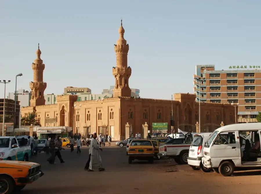
- Top sights: Arkaweet Park - Bahri · Al-Niyyah Mosque · Evangelical Theological College
- Nearby: Omdurman (6 km)
- Population: ~1.012.211 (2025)
Best time to visit & climate
The most pleasant time to visit is Jan, Feb, Dec.
| Jan | Feb | Mar | Apr | May | Jun | Jul | Aug | Sep | Oct | Nov | Dec | |
|---|---|---|---|---|---|---|---|---|---|---|---|---|
| Avg °C | 22 | 25 | 28 | 31 | 34 | 35 | 33 | 31 | 32 | 32 | 27 | 23 |
| Rain mm | 0 | 0 | 0 | 1 | 3 | 5 | 44 | 58 | 20 | 9 | 0 | 0 |
Geography
Facts
- Industrial heart of the capital region
- Northern component of the tripartite metropolis
- Strategic railway hub toward Port Sudan
- Home to major textile and food processing plants
- Connected to Omdurman by the Shambat Bridge
- Important location for Sudanese oil refineries
Explore nearby
Notable places around
Route planner — Car & Motorhome
Where do you start? We build the route here, with stops and country notes along the way.
© OpenStreetMap contributors · OpenRouteService
Sights in the town Khartoum Bahri (9)
Frequently asked questions
What is the main character of Khartoum Bahri?
Should one stay there overnight?
How do you get there from the center?
Are there good restaurants there?
Is the area safe?
Khartoum Bahri: where is it located?
Khartoum Bahri: what is there to see?
Khartoum Bahri: when is the best time to visit?
Khartoum Bahri: why is it worth visiting?

Nearby cities
History & landmarks