Plizio Visual Lab
Sabaloka Gorge
Weather…
Water temperature…
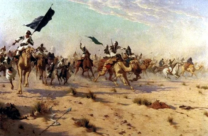
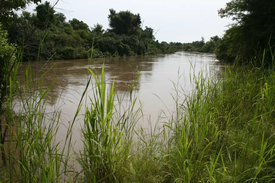
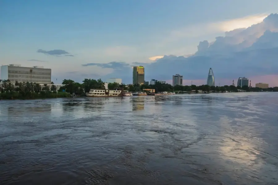
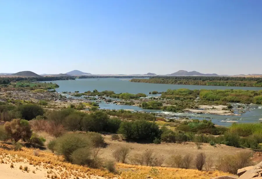
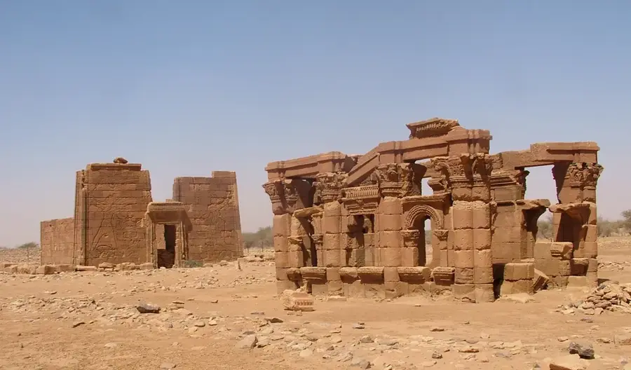
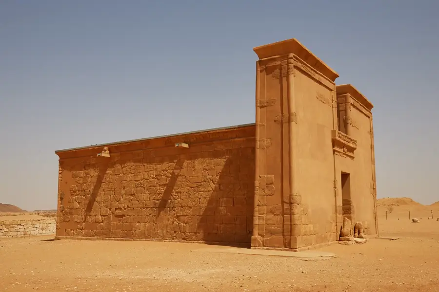
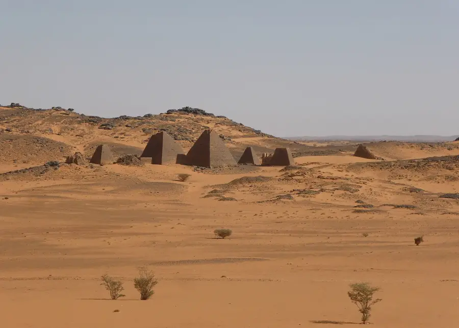
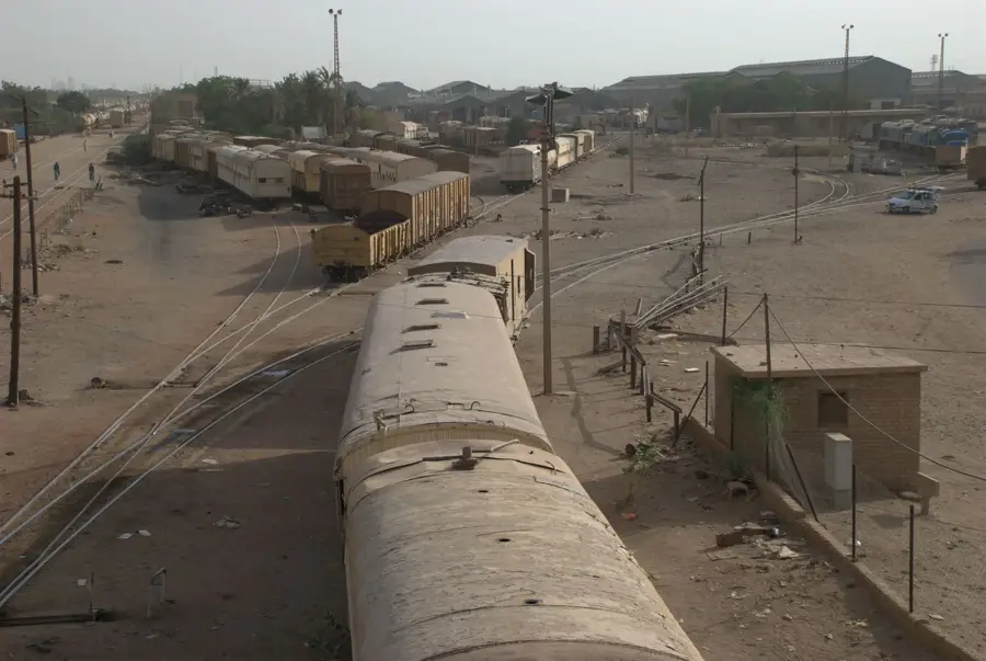
The Sabaloka Gorge is located approximately 80 kilometers north of Khartoum, the capital of Sudan, and marks the geographical site of the Nile's 6th Cataract. This geological formation originated during the late Precambrian era about 500 million years ago, when volcanic activity deposited massive layers of rhyolite and granite. The Nile cuts through this hard volcanic rock, creating a deep, narrow valley that stands in sharp contrast to the surrounding flat desert plains. Historically, the gorge's rapids were a significant obstacle to navigation and served as a natural defensive line for the ancient kingdoms of Kush and Meroe. Archaeological evidence in the vicinity proves continuous human settlement since the Stone Age, facilitated by year-round access to water. In the modern era, the area is utilized for geological research and as a recreational destination, featuring steep cliffs and an unspoiled riverine landscape. The region also plays an ecological role as a sanctuary for various bird species within the otherwise arid Sahelian zone, making it a vital natural landmark in central Sudan.
- Location: Sudan
- Top sights: Retejat al Ezerq · Hijer ad Dabba · Hijer al Amlat
- Nearby: Karari (66 km)
Best time to visit & climate
The most pleasant time to visit is Jan, Feb, Dec.
| Jan | Feb | Mar | Apr | May | Jun | Jul | Aug | Sep | Oct | Nov | Dec | |
|---|---|---|---|---|---|---|---|---|---|---|---|---|
| Avg °C | 21 | 24 | 27 | 31 | 34 | 35 | 34 | 32 | 33 | 32 | 27 | 23 |
| Rain mm | 0 | 0 | 0 | 0 | 3 | 3 | 23 | 35 | 11 | 4 | 0 | 0 |
📋 Practical info
Geography
Facts
- The gorge marks the sixth and southernmost of the great cataracts of the Nile.
- Geologically, the area consists primarily of Precambrian rhyolite rock.
- It is located about 80 kilometers north of the national capital, Khartoum.
- The river narrows at its tightest point to only a few hundred meters wide.
- Prehistoric settlement remains in the region date back to the Mesolithic period.
- The passage was historically a critical bottleneck for trade along the Nile.
Explore nearby
Notable places around
Route planner — Car & Motorhome
Where do you start? We build the route here, with stops and country notes along the way.
© OpenStreetMap contributors · OpenRouteService
Sights in the town Sabaloka Gorge (3)
Sights nearby
Frequently asked questions
Is it suitable for hiking?
Do I need a 4x4 vehicle?
Are there shaded areas?
When is the best light for photography?
Is it family-friendly?
Sabaloka Gorge: where is it located?
Sabaloka Gorge: what is there to see?
Sabaloka Gorge: when is the best time to visit?
Sabaloka Gorge: why is it worth visiting?

Nearby cities

History & landmarks

Nature
More places