Plizio Visual Lab
Ganyliel

ℹ️Practical info — Ganyliel
▾
🌤 Weather — 5 days
📍 Nearby
Sights nearby
💡 Tips
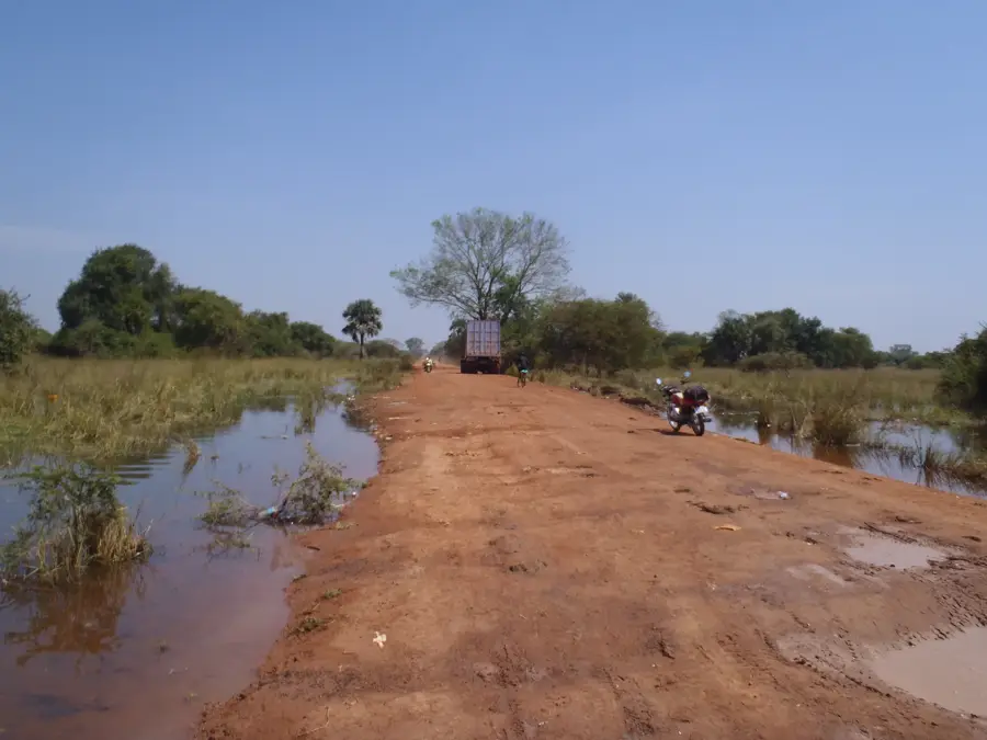
- As Ganyliel is surrounded by the Sudd swamps, a local dugout canoe (makoro) is your primary mode of transport.
- Bring a robust supply of personal medications and first-aid items, as pharmacies are non-existent.
- Stringent malaria prophylaxis and mosquito nets are absolutely critical in this wetland environment.
- Cash is king; bring enough South Sudanese Pounds for your entire stay, as there are no banking facilities.
🍽 Food
Enjoy locally caught tilapia or Nile perch, usually grilled or cooked in a stew by the riverside.
A thin sorghum flatbread that serves as a staple accompaniment to most local meals.
A dense porridge made from sorghum or millet, eaten with hearty soups.
🛍 Shopping · 🧘 Quiet spots
A small gathering where you can trade or buy basic necessities and fresh fish.
Look for beautifully crafted grass and reed baskets made by local women's cooperatives.
Hire a local paddler to take you through the serene, bird-filled channels of the wetlands.
Sit beneath one of the large trees in the center of town, a traditional community gathering spot.
Water temperature…
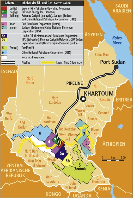
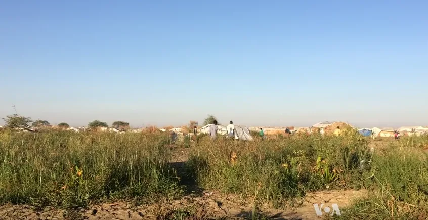
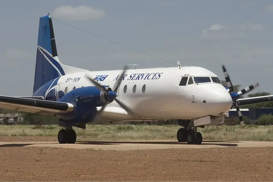
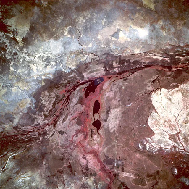
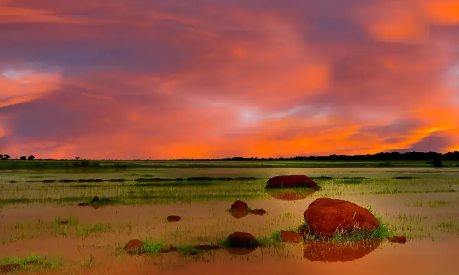
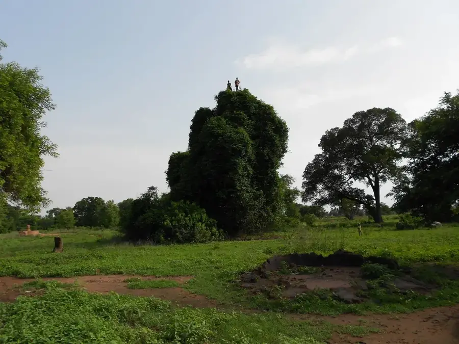
Ganyliel is an isolated yet strategically vital settlement located in the southern part of Unity State, South Sudan, set within the expansive Sudd wetlands. Its unique geography makes Ganyliel accessible almost exclusively by boat or small aircraft, which provided the town with an exceptional level of security during the civil war. While much of the country was ravaged by conflict, Ganyliel remained largely an enclave of peace, serving as a sanctuary for tens of thousands of internally displaced persons. The local population is predominantly of the Nuer ethnic group, whose livelihoods are deeply integrated with the marshland environment and cattle pastoralism. The economy is built upon fishing, livestock rearing, the harvesting of aquatic plants, and international humanitarian support. Ganyliel is famous for its bustling market, where goods are traded after being laboriously transported via canoes through the Sudd's intricate waterways. In modern times, the town is viewed as a symbol of community resilience and a primary model for delivering humanitarian aid in extremely remote environments. The preservation of traditional Nuer culture amidst the challenging swamp landscape defines the enduring identity of Ganyliel.
- Location: South Sudan
- Nearby: Panyijar (19 km)
Best time to visit & climate
The most pleasant time to visit is Jan, Nov, Dec.
| Jan | Feb | Mar | Apr | May | Jun | Jul | Aug | Sep | Oct | Nov | Dec | |
|---|---|---|---|---|---|---|---|---|---|---|---|---|
| Avg °C | 30 | 32 | 33 | 32 | 29 | 27 | 27 | 26 | 27 | 28 | 29 | 29 |
| Rain mm | 1 | 3 | 16 | 56 | 120 | 122 | 132 | 165 | 124 | 100 | 23 | 8 |
Geography
Facts
- Ganyliel is located in Panyijiar County in the southern part of Unity State.
- The town is situated approximately 300 kilometers north of Juba within the Sudd.
- Traditional wooden canoes are the primary mode of transport for local inhabitants.
- The Nuer people in Ganyliel maintain a strong pastoralist tradition despite the wetland environment.
- The town's elevation is approximately 390 meters above sea level.
- Ganyliel was famously known as a 'hunger-free zone' during several periods of regional food insecurity.
Explore nearby
Notable places around
Route planner — Car & Motorhome
Where do you start? We build the route here, with stops and country notes along the way.
© OpenStreetMap contributors · OpenRouteService
Frequently asked questions
Where is Ganyliel and what defines it?
How is the best way to reach it?
What season is ideal?
What is special about the surroundings?
What should I pack?
Ganyliel: where is it located?
Ganyliel: when is the best time to visit?
Ganyliel: why is it worth visiting?

Nearby cities

History & landmarks

Nature

More places