Plizio Visual Lab
Amadi

ℹ️Practical info — Amadi
▾
🌤 Weather — 5 days
📍 Nearby
Sights nearby
💡 Tips
- Carry enough local currency (South Sudanese Pound) in cash, as cards are rarely accepted.
- Visit the local market early in the morning when the fresh produce arrives and the heat is bearable.
- Dress modestly and comfortably, respecting the local customs of Western Equatoria.
- If traveling outside the dry season, be prepared for muddy unpaved roads and travel delays.
🍽 Food
Sorghum dough, try it at the small local eateries.
Hearty okra stew, available at market stalls.
Buy directly from farmers at the main market.
🛍 Shopping · 🧘 Quiet spots
Fresh vegetables and fruits at the central market.
Simple handmade goods at the village markets.
For quiet walks in nature away from the center.
Local spots for relaxation by the water.
Water temperature…
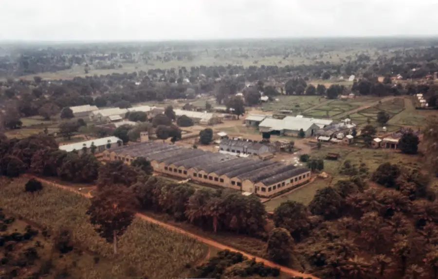
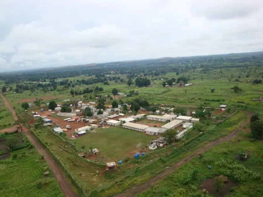
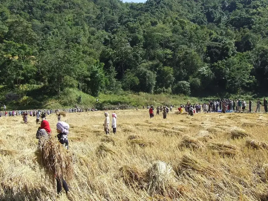
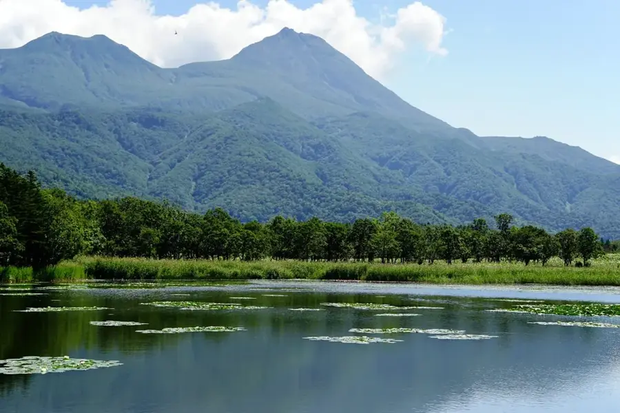
Amadi is a strategically located town in Western Equatoria State, South Sudan, positioned along the banks of the Naam River. The town possesses a rich administrative history, having served as the capital of the defunct Amadi State before the country's return to the ten-state system. Geographically, Amadi lies in a transition zone between open savanna and denser forest landscapes, which supports a wide variety of agricultural activities. The region is primarily inhabited by the Moru people, whose cultural traditions and sophisticated farming techniques shape the local social fabric. Historically, Amadi was a significant outpost during the Anglo-Egyptian administration and played a key role in securing trade routes to the west. The town is renowned for its fertile soils, producing staples such as sorghum, groundnuts, and tobacco. In recent years, Amadi has been an important venue for regional dialogue and inter-communal peacebuilding initiatives. Despite the disruptions caused by past conflicts, Amadi remains a pivotal center for political and economic development in the eastern reaches of Western Equatoria.
- Location: South Sudan
- Nearby: Kotobi (13 km)
Best time to visit & climate
The most pleasant time to visit is Jan, Nov, Dec.
| Jan | Feb | Mar | Apr | May | Jun | Jul | Aug | Sep | Oct | Nov | Dec | |
|---|---|---|---|---|---|---|---|---|---|---|---|---|
| Avg °C | 29 | 31 | 32 | 30 | 28 | 26 | 26 | 25 | 26 | 27 | 27 | 28 |
| Rain mm | 4 | 6 | 36 | 70 | 152 | 131 | 134 | 149 | 135 | 113 | 38 | 19 |
Geography
Facts
- Amadi served as the capital of the former Amadi State from 2015 to 2020.
- The town is located approximately 160 kilometers west of Juba.
- Amadi is a major road junction connecting Mundri, Maridi, and Rumbek.
- The Naam River provides essential water resources for local agriculture year-round.
- The elevation of Amadi is approximately 460 meters above sea level.
- The town is home to a significant teacher training college serving Western Equatoria.
Explore nearby
Notable places around
Route planner — Car & Motorhome
Where do you start? We build the route here, with stops and country notes along the way.
© OpenStreetMap contributors · OpenRouteService
Frequently asked questions
What is the historical value of Amadi?
Can one visit Amadi today?
What is the best way to reach Amadi?
What do the surroundings of Amadi offer?
Is Amadi a tourist town?
Amadi: where is it located?
Amadi: when is the best time to visit?
Amadi: why is it worth visiting?

Nearby cities


History & landmarks
More places