Plizio Visual Lab
Nanga Parbat
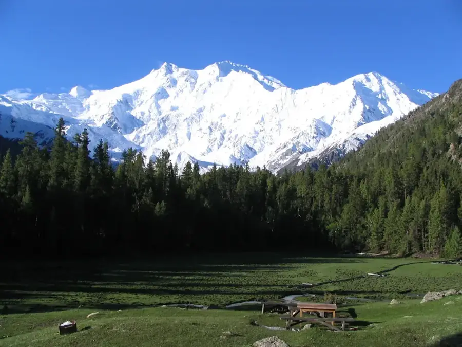
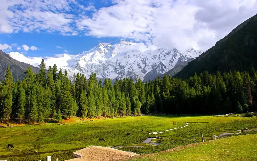
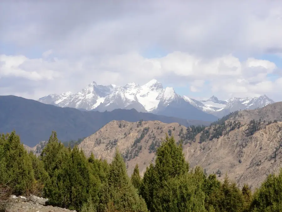
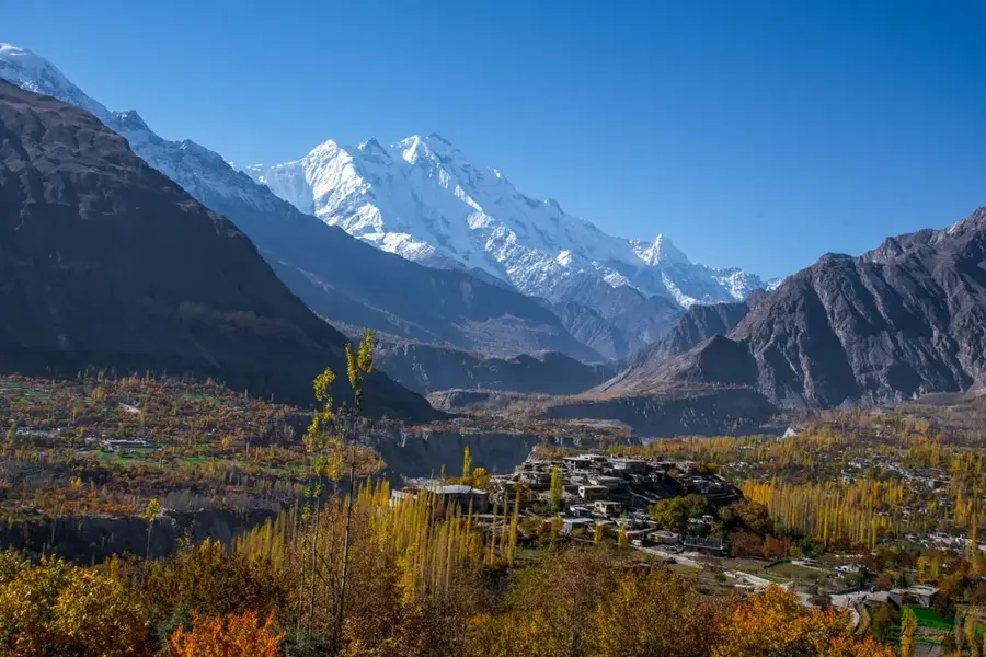
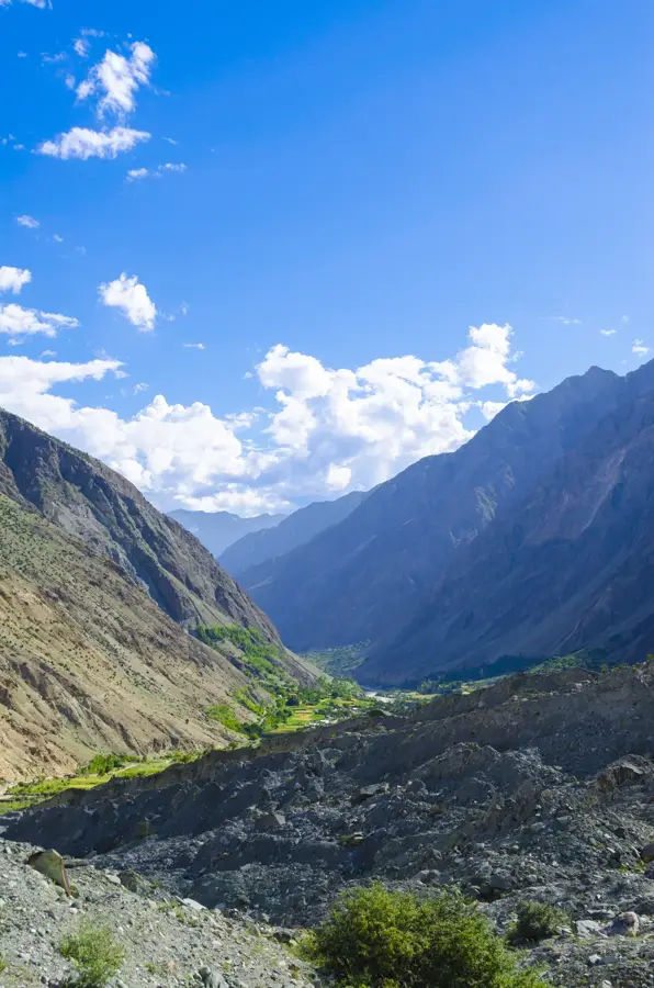
Nanga Parbat is the ninth-highest mountain in the world at 8,125 meters and serves as the western anchor of the Himalayan range in Pakistan. It is famous for its massive vertical faces, particularly the Rupal Face, which rises 4,500 meters and is considered the highest mountain face on Earth. The name originates from Sanskrit, meaning 'Naked Mountain,' a reference to its steep, snow-shedding rock walls. The first successful ascent was achieved by Austrian climber Hermann Buhl on July 3, 1953, in a remarkable solo push from the final camp, a feat regarded as one of the greatest in mountaineering history. Prior to this, numerous failed German expeditions gave the mountain a grim reputation as the 'Mountain of Destiny.' Geographically, Nanga Parbat is located south of the Indus River in the Gilgit-Baltistan region. Its exposed position leads to extreme weather conditions and high avalanche risks, making it one of the most technically challenging eight-thousanders to climb. The peak is surrounded by deep valleys like the Diamir Valley, which further enhances its dramatic and monumental appearance.
- Location: Pakistan
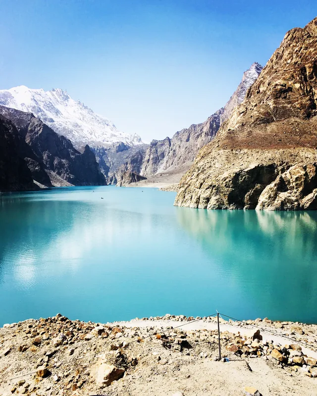
- Top sights: Ganalo Peak · Nanga Parbat · Rakhiot
- Nearby: Fairy Meadows (5 km)
Best time to visit & climate
The most pleasant time to visit is Jun–Aug.
| Jan | Feb | Mar | Apr | May | Jun | Jul | Aug | Sep | Oct | Nov | Dec | |
|---|---|---|---|---|---|---|---|---|---|---|---|---|
| Avg °C | -14 | -12 | -7 | -1 | 4 | 8 | 11 | 11 | 7 | 1 | -6 | -11 |
| Rain mm | 54 | 81 | 83 | 80 | 49 | 48 | 59 | 65 | 35 | 21 | 33 | 26 |
📋 Practical info
Geography
Facts
- The summit elevation of Nanga Parbat is 8,125 meters.
- The Rupal Face is the world's highest mountain face at 4,500 meters.
- Hermann Buhl achieved the first summit on July 3, 1953.
- The mountain is located in the Gilgit-Baltistan region of Pakistan.
- Thirty-one people died attempting to climb it before the first success.
- It serves as the westernmost 8,000-meter peak of the Himalayas.
Explore nearby
Notable places around
Route planner — Car & Motorhome
Where do you start? We build the route here, with stops and country notes along the way.
© OpenStreetMap contributors · OpenRouteService
Sights in the town Nanga Parbat (3)
Sights nearby
Frequently asked questions
How difficult is the hike to the base camp?
When is the best time for climbing?
Is a mountain guide required?
Are there accommodations in Fairy Meadows?
Must one get a permit?
Nanga Parbat: where is it located?
Nanga Parbat: what is there to see?
Nanga Parbat: when is the best time to visit?
Nanga Parbat: why is it worth visiting?

Nature
More places