Plizio Visual Lab
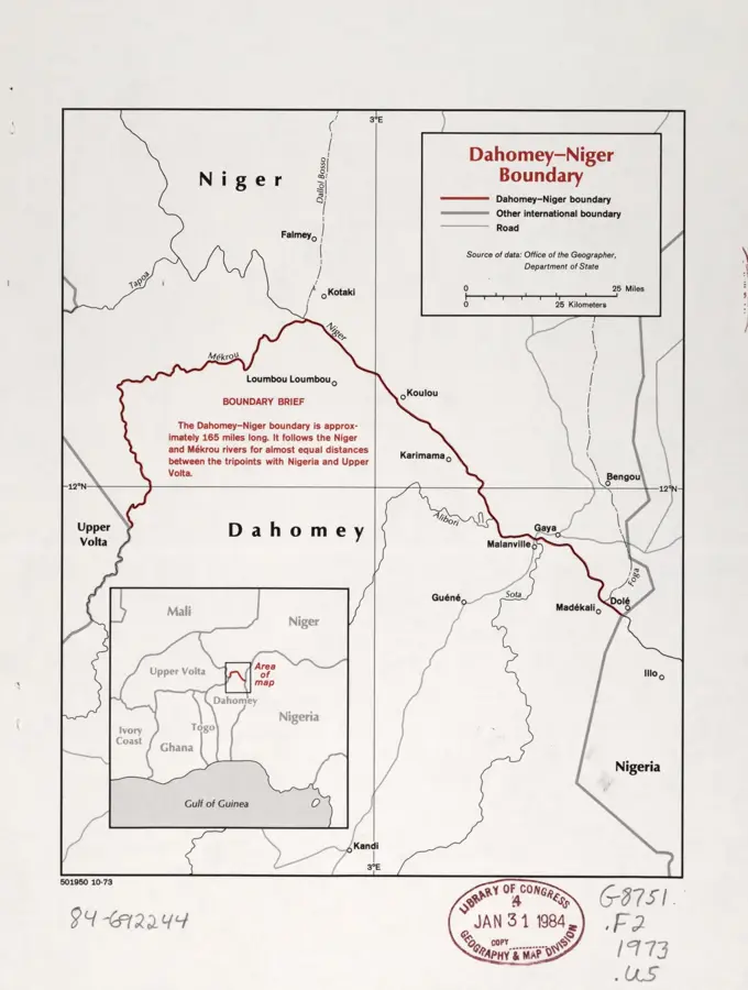
Gaya-Malanville Border Bridge
Weather…
Water temperature…
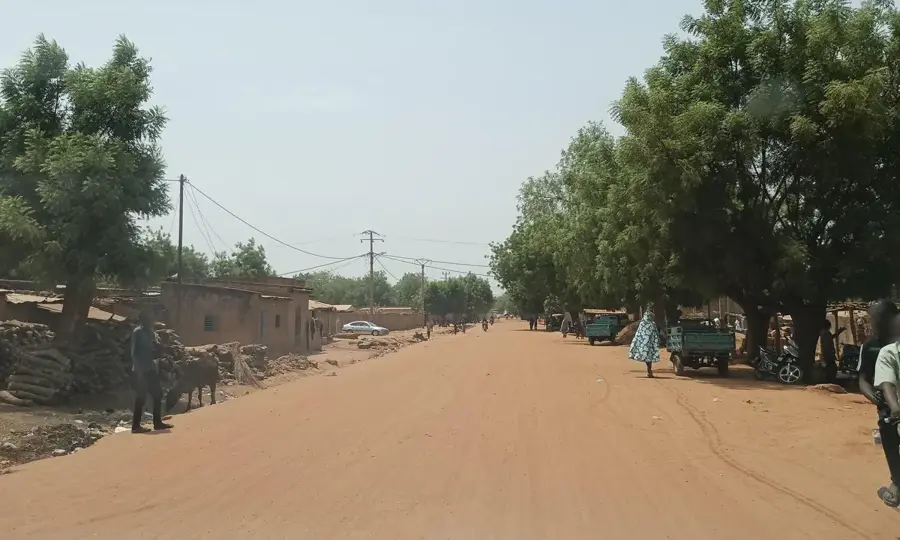
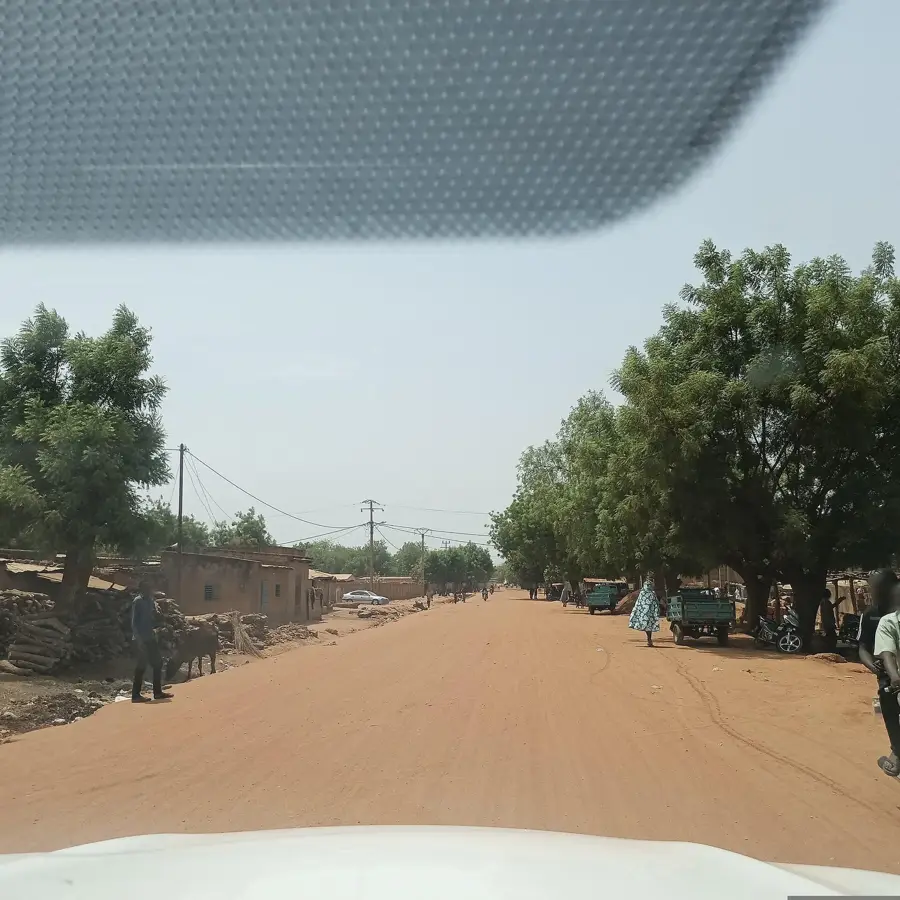
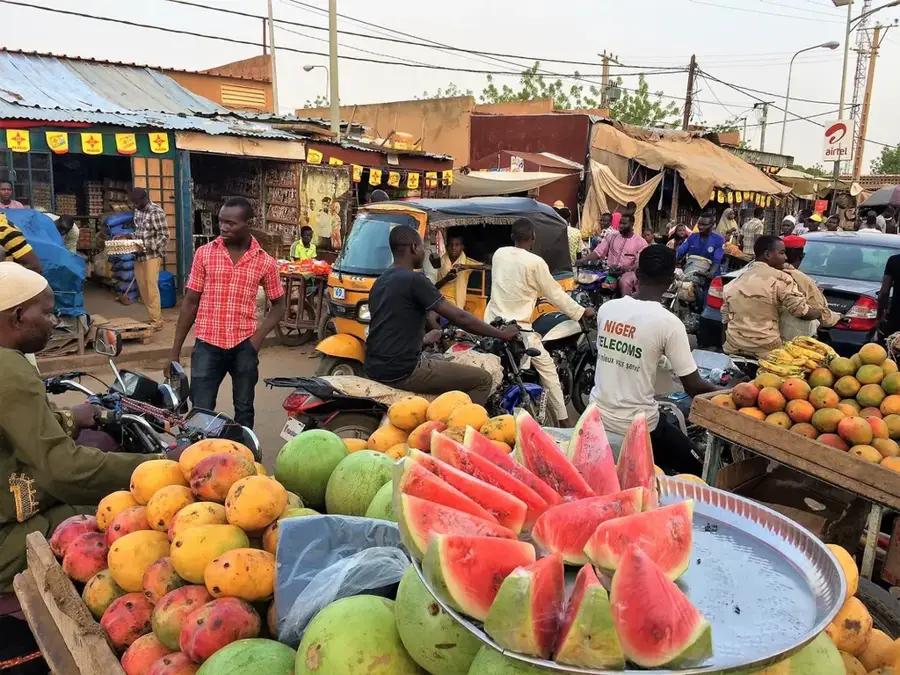
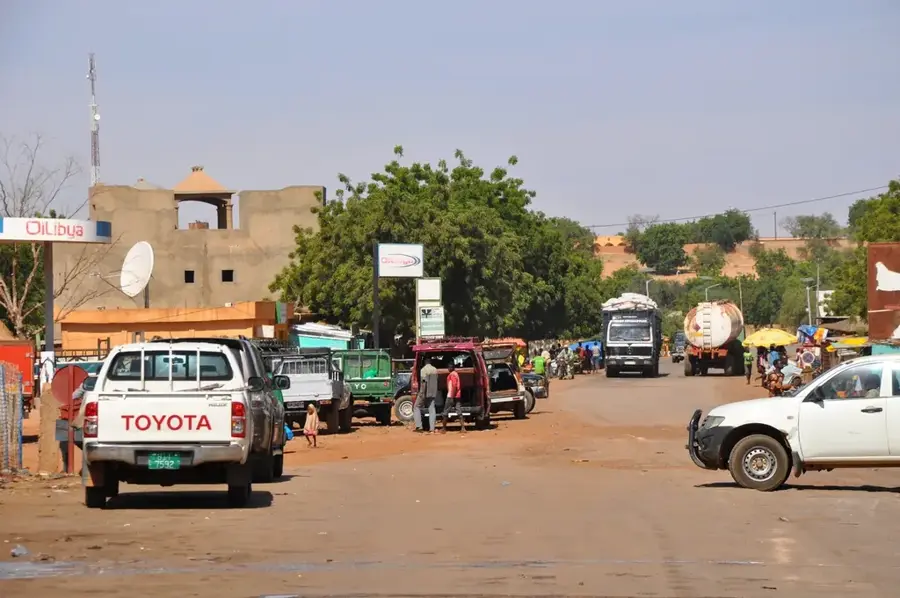
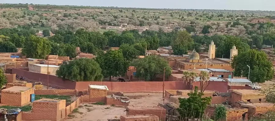
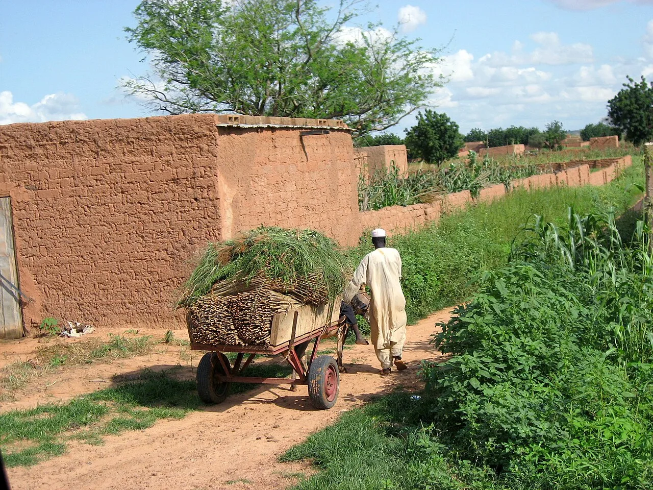
The Gaya-Malanville Bridge is a critical piece of infrastructure spanning the Niger River, serving as the primary land connection between the Republic of Niger and its southern neighbor, Benin. This bridge is not merely a transport route but a vital economic artery for landlocked Niger, providing the most direct access to the Port of Cotonou, which handles the majority of the country's international trade. Located at the southernmost tip of Niger in the town of Gaya, the bridge facilitates the movement of thousands of heavy trucks annually, carrying essential goods such as fuel, food supplies, and industrial equipment from the Atlantic coast into the heart of the Sahel. The crossing point at Malanville on the Beninese side is equally significant, as it marks one of the busiest border posts in West Africa. Historically, this corridor has been central to the development of the region, evolving from ancient trade routes into a modern logistics hub. The bridge itself stands as a symbol of regional integration within the Economic Community of West African States (ECOWAS), showcasing the collaborative efforts required to maintain stable supply chains across international borders. Beyond its economic function, the sight of the bridge over the vast Niger River, especially during the rainy season when the waters are high, has a glimpse into the geographical diversity of Niger, where the arid north meets the more fertile southern river valleys, creating a landscape of immense importance.
Best time to visit & climate
The most pleasant time to visit is Jan, Nov, Dec.
| Jan | Feb | Mar | Apr | May | Jun | Jul | Aug | Sep | Oct | Nov | Dec | |
|---|---|---|---|---|---|---|---|---|---|---|---|---|
| Avg °C | 24 | 28 | 31 | 33 | 32 | 30 | 28 | 27 | 27 | 27 | 26 | 24 |
| Rain mm | 0 | 1 | 5 | 17 | 59 | 96 | 153 | 225 | 145 | 44 | 1 | 0 |
📋 Practical info
Geography
Facts
- The bridge spans the Niger River, connecting Gaya in Niger and Malanville in Benin.
- It is the primary land link for Niger to reach the deep-water port of Cotonou.
- The structure is part of the RN7 highway, a major regional transport corridor.
- Thousands of heavy trucks cross the bridge annually with fuel and food supplies.
- The crossing is one of the busiest and most significant border posts in West Africa.
- The bridge is a central component of ECOWAS regional trade facilitation efforts.
Explore nearby
Notable places around
Route planner — Car & Motorhome
Where do you start? We build the route here, with stops and country notes along the way.
© OpenStreetMap contributors · OpenRouteService
Sights in the town Gaya-Malanville Border Bridge (1)
Sights nearby
Frequently asked questions
Is the border bridge safe?
Do I need a passport?
Is photography allowed?
Is there a lot of traffic?
Are there wait times?
Gaya-Malanville Border Bridge: where is it located?
Gaya-Malanville Border Bridge: when is the best time to visit?
Gaya-Malanville Border Bridge: why is it worth visiting?

Nearby cities
History & landmarks
Nature

More places