Plizio Visual Lab
Lake Managua (Xolotlán)
Weather…
Water temperature…
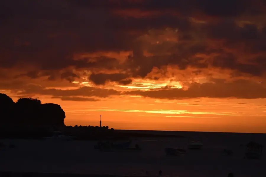
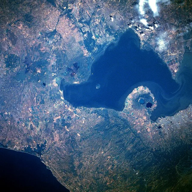
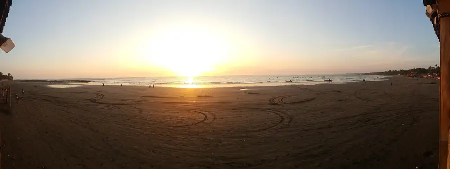
Lake Managua, also known as Xolotlán, is Nicaragua's second-largest lake, situated directly north of the capital city, Managua. It covers an area of approximately 1,024 square kilometers and sits at an elevation of 39 meters above sea level. The lake is connected to the larger Lake Nicaragua via the Tipitapa River, though water flows between them only during periods of exceptionally high water levels. The lake's northwestern shore is dominated by the iconic silhouette of the Momotombo volcano. Historically, the lake suffered from significant industrial and urban pollution; however, the commissioning of a modern wastewater treatment plant in 2009 has led to a gradual improvement in water quality and shoreline ecology. The development of the 'Puerto Salvador Allende' waterfront has successfully reintegrated the lake into the city's social fabric as a major recreational area. It serves as a habitat for various fish species and remains a vital corridor for migratory waterfowl.
- Location: Nicaragua
- Nearby: San Rafael del Sur (4 km)
Best time to visit & climate
The most pleasant time to visit is Jan, Feb, Dec.
| Jan | Feb | Mar | Apr | May | Jun | Jul | Aug | Sep | Oct | Nov | Dec | |
|---|---|---|---|---|---|---|---|---|---|---|---|---|
| Avg °C | 26 | 28 | 29 | 30 | 29 | 27 | 27 | 27 | 26 | 26 | 25 | 26 |
| Rain mm | 2 | 3 | 8 | 32 | 192 | 208 | 108 | 157 | 281 | 273 | 58 | 11 |
📋 Practical info
Geography
Facts
- The lake spans an area of approximately 1,024 square kilometers.
- Its average depth is 9.5 meters, with a maximum of around 20 meters.
- The 1610 eruption of Momotombo forced the relocation of the city of León.
- Managua's northern city limits are defined by the lake's southern shore.
- A major $85 million treatment plant was built in 2009 to clean the lake.
- Momotombito Island serves as a sanctuary for various bird species.
Explore nearby
Notable places around
Route planner — Car & Motorhome
Where do you start? We build the route here, with stops and country notes along the way.
© OpenStreetMap contributors · OpenRouteService
Sights in the town Lake Managua (Xolotlán) (1)
Sights nearby
Frequently asked questions
Can you use Lake Managua for boat trips?
Is the water in Lake Managua clean?
What is the best time of day to visit?
Are there museums near the lake?
Is the harbor area safe for tourists?
Lake Managua (Xolotlán): where is it located?
Lake Managua (Xolotlán): when is the best time to visit?
Lake Managua (Xolotlán): why is it worth visiting?

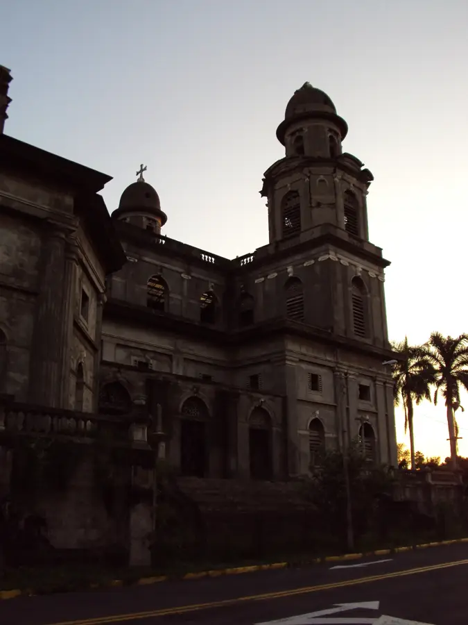
History & landmarks
More places