Plizio Visual Lab
Zapatera Island

Weather…
Water temperature…
Zapatera Island is located in Lake Nicaragua, south of Granada, and is one of the most significant archaeological sites in Central America. With an area of approximately 52 square kilometers, it is the second-largest island in the lake after Ometepe. The island was declared a national park in 1983 to protect both its natural beauty and its cultural heritage. Zapatera was an important ceremonial center for pre-Columbian cultures, particularly the Chorotega people. Excavations revealed numerous monumental stone statues and petroglyphs, which are now exhibited in the San Francisco Convent in Granada. The island's geography is of volcanic origin, dominated by the extinct Zapatera volcano, whose highest point reaches 629 meters. The island's dense dry forests are home to a variety of wildlife, including howler monkeys and various species of iguanas, making it an important refuge for local fauna.
- Location: Nicaragua
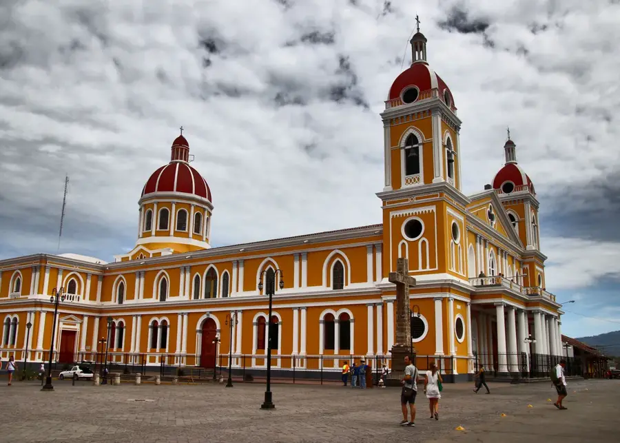
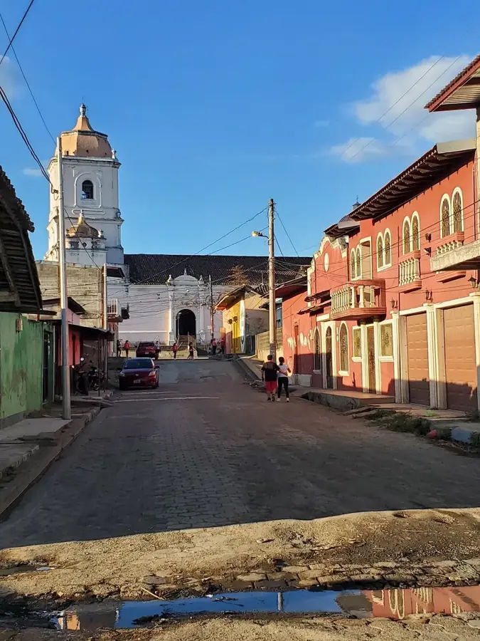
- Top sights: Zapatera · Zapatera (archaeological site) · Zapatera Archipelago
- Nearby: Potosí (4 km)
Best time to visit & climate
The most pleasant time to visit is Jan, Feb, Dec.
| Jan | Feb | Mar | Apr | May | Jun | Jul | Aug | Sep | Oct | Nov | Dec | |
|---|---|---|---|---|---|---|---|---|---|---|---|---|
| Avg °C | 27 | 28 | 28 | 29 | 29 | 28 | 28 | 28 | 28 | 27 | 27 | 27 |
| Rain mm | 1 | 1 | 4 | 24 | 201 | 199 | 119 | 181 | 286 | 322 | 137 | 8 |
📋 Practical info
Geography
Facts
- Zapatera was officially declared a National Park in 1983.
- The island covers a land area of approximately 52 square kilometers.
- The highest elevation on the island is the Zapatera volcano at 629 meters.
- Numerous pre-Columbian statues were discovered here in the 19th century.
- It is the second-largest island in Lake Nicaragua after Ometepe.
- Nearby lies the small island of El Muerto, which also contains ancient petroglyphs.
Explore nearby
Notable places around
Route planner — Car & Motorhome
Where do you start? We build the route here, with stops and country notes along the way.
© OpenStreetMap contributors · OpenRouteService
Sights in the town Zapatera Island (3)
Sights nearby
Frequently asked questions
Is Zapatera a culturally significant island?
Can you explore the island on your own?
How do you get there?
Are there accommodations on Zapatera?
What clothing should I wear?
Zapatera Island: where is it located?
Zapatera Island: what is there to see?
Zapatera Island: when is the best time to visit?
Zapatera Island: why is it worth visiting?

Nearby cities
History & landmarks


More places