Plizio Visual Lab
Oum Er-Rbia
Weather…
Water temperature…
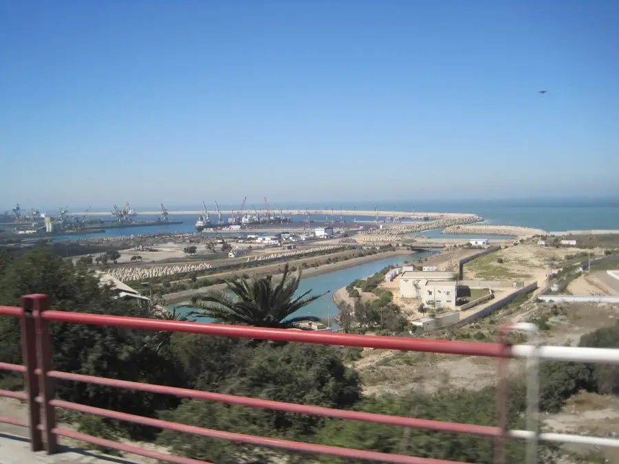
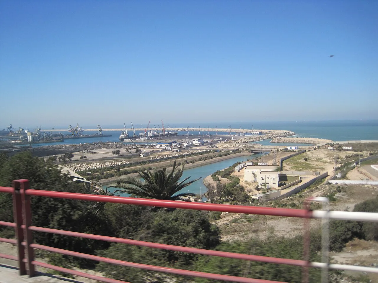
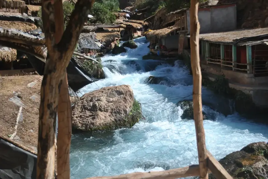
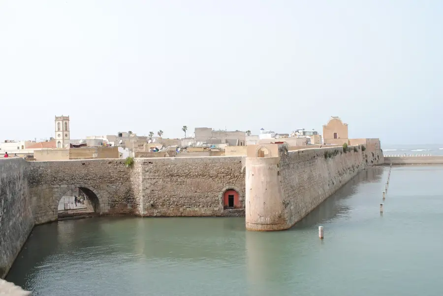
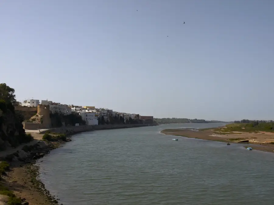
The Oum Er-Rbia is Morocco's second-longest river, stretching approximately 555 kilometers from its source in the Middle Atlas Mountains to the Atlantic Ocean. Originating near M'Rirt at an elevation of about 1,240 meters, it flows northwest through the fertile Tadla Plain before reaching the sea at the historic town of Azemmour. Its name literally translates to "Mother of Spring Grass," a testament to the lush vegetation and high agricultural productivity it supports along its banks. The river is a cornerstone of Morocco's water management system, powering several hydroelectric dams, including the massive Al Massira Dam. Historically, the river has functioned as a natural boundary between various tribal territories and remains vital for irrigation in central Morocco's heartland. Its discharge is highly seasonal, yet it remains one of the few permanent watercourses in the country capable of supporting large-scale farming and urban water needs throughout the year.
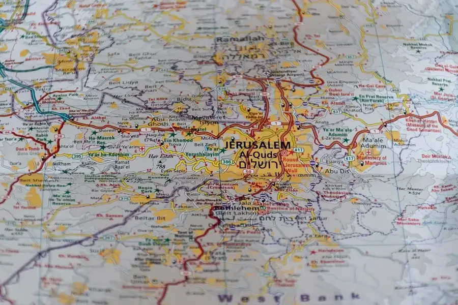
- Location: Morocco
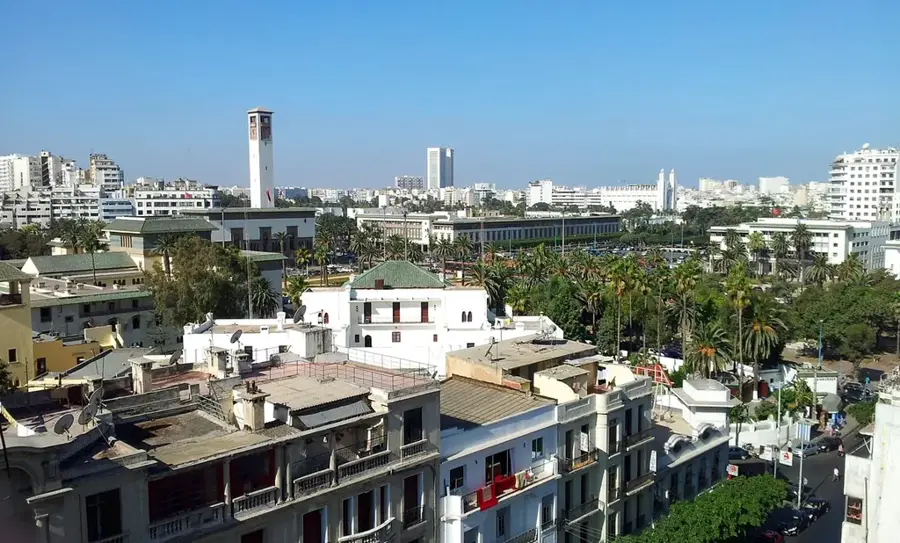
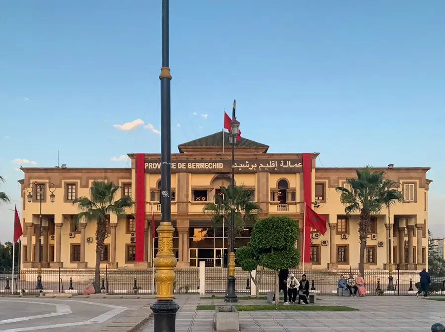
- Nearby: Azemmour (13 km)
Best time to visit & climate
The most pleasant time to visit is Jun, Jul, Oct.
| Jan | Feb | Mar | Apr | May | Jun | Jul | Aug | Sep | Oct | Nov | Dec | |
|---|---|---|---|---|---|---|---|---|---|---|---|---|
| Avg °C | 14 | 15 | 16 | 17 | 19 | 21 | 23 | 24 | 23 | 21 | 18 | 16 |
| Rain mm | 52 | 45 | 52 | 33 | 21 | 5 | 5 | 4 | 40 | 46 | 92 | 58 |
📋 Practical info
Geography
Facts
- Total length of approximately 555 km.
- Source located in the Middle Atlas near M'Rirt.
- Mouth at the Atlantic Ocean near Azemmour.
- Feeds the Al Massira Dam, Morocco's second largest.
- Name means 'Mother of Spring Grass' in Arabic.
- Primary irrigation source for the Tadla Plain.
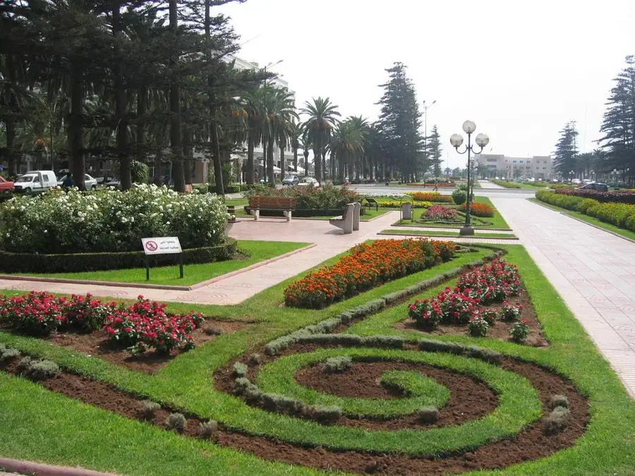
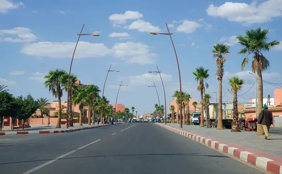
Explore nearby
Notable places around
Route planner — Car & Motorhome
Where do you start? We build the route here, with stops and country notes along the way.
© OpenStreetMap contributors · OpenRouteService
Sights nearby
Frequently asked questions
Why is the Oum Er-Rbia important?
Where can the river's springs be seen?
Can you fish in the Oum Er-Rbia?
Are there waterfalls on this river?
Is the river navigable?
Oum Er-Rbia: where is it located?
Oum Er-Rbia: when is the best time to visit?
Oum Er-Rbia: why is it worth visiting?

Nearby cities
More places