Plizio Visual Lab
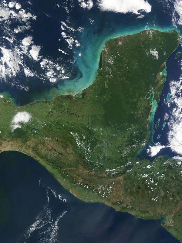
Peninsula Yucatán
Weather…
Water temperature…
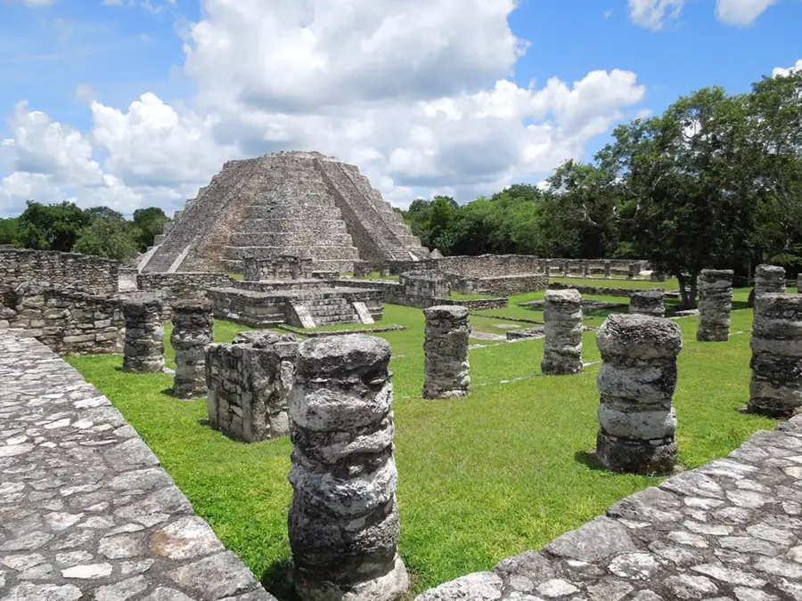
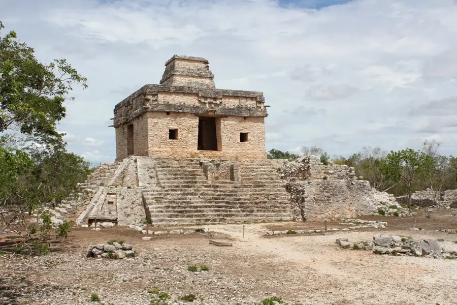
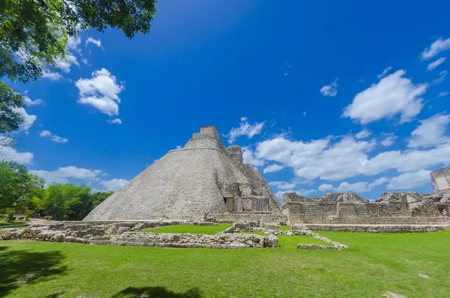
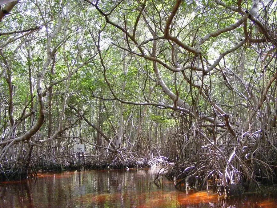
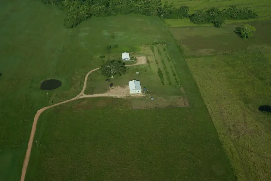
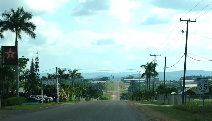
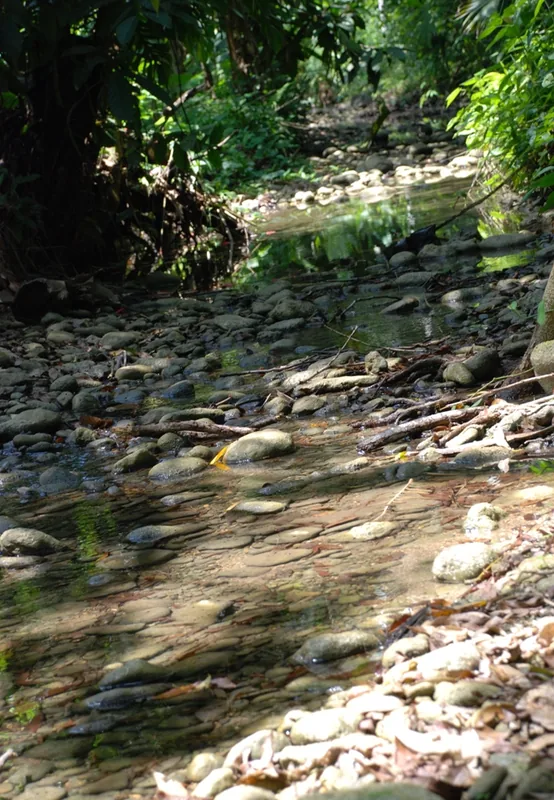
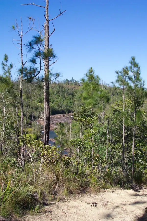
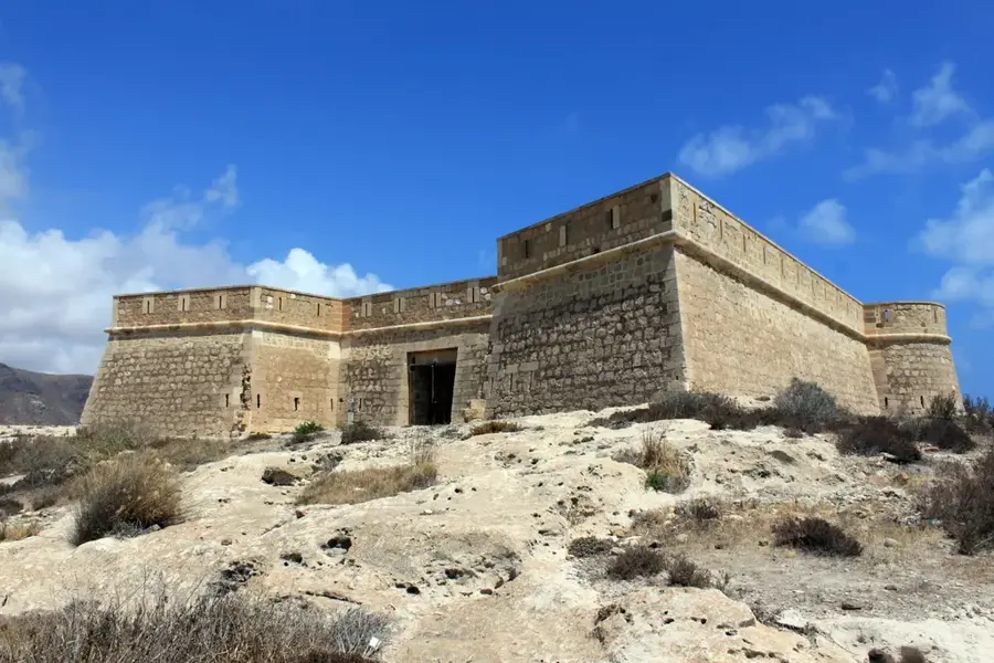
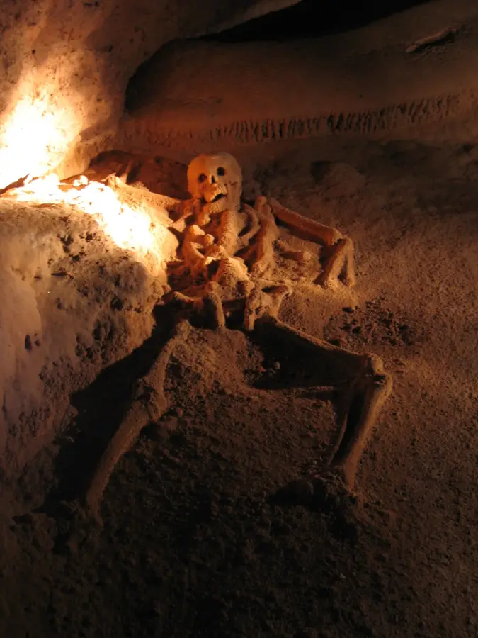
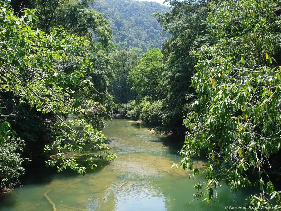
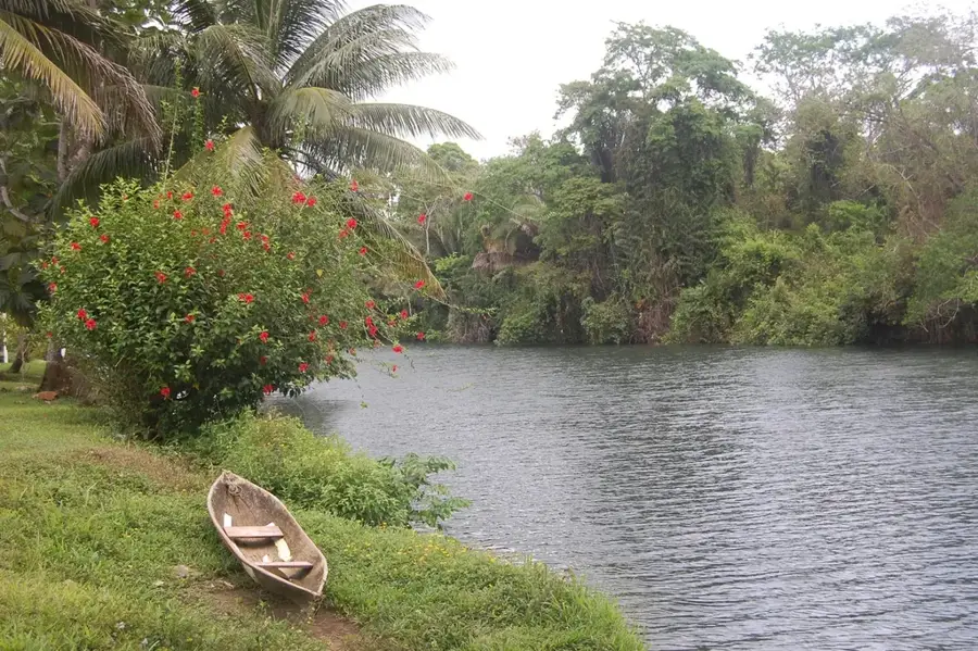
The Yucatán Peninsula is a large landmass in southeastern Mexico that separates the Gulf of Mexico from the Caribbean Sea. It is characterized by an exceptionally flat relief, composed almost entirely of limestone deposited during the Cenozoic era. Due to the highly porous nature of the rock, there are virtually no surface rivers on the peninsula; instead, a vast system of underground waterways and water-filled sinkholes known as cenotes has developed. These were essential to the ancient Maya civilization, which established major urban centers like Chichén Itzá and Uxmal across the region. The climate is tropical, with distinct wet and dry seasons that dictate the vegetation, ranging from dry scrub in the north to dense rainforests in the south. The coastal areas are world-renowned for their white sand beaches and coral reefs, forming part of the Great Mayan Reef. Today, the peninsula is a global tourism hub, yet it faces significant environmental challenges, including groundwater contamination.
- Location: Mexico
- Nearby: Bacalar (68 km)
Best time to visit & climate
The most pleasant time to visit is Jan, Feb, Dec.
| Jan | Feb | Mar | Apr | May | Jun | Jul | Aug | Sep | Oct | Nov | Dec | |
|---|---|---|---|---|---|---|---|---|---|---|---|---|
| Avg °C | 23 | 25 | 27 | 29 | 29 | 28 | 27 | 27 | 27 | 26 | 24 | 24 |
| Rain mm | 39 | 31 | 27 | 35 | 91 | 194 | 140 | 174 | 216 | 153 | 69 | 43 |
📋 Practical info
Geography
Facts
- Average elevation is only about 30 meters above sea level.
- Formed by a massive limestone platform about 1,000 meters thick.
- Contains over 6,000 cenotes (sinkholes) across the peninsula.
- Site of the Chicxulub crater, from an asteroid impact 66 million years ago.
- The Mesoamerican Barrier Reef starts just off its eastern coast.
- Historically lacked surface rivers due to the region's karst topography.
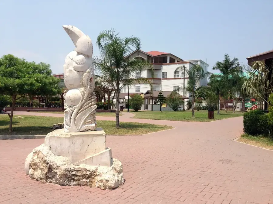
Explore nearby
Notable places around
Route planner — Car & Motorhome
Where do you start? We build the route here, with stops and country notes along the way.
© OpenStreetMap contributors · OpenRouteService
Sights nearby
Frequently asked questions
When is the best time for Yucatán?
How many days should I stay?
Are the ruins accessible?
Can I take pictures of everything?
What must I try?
Peninsula Yucatán: where is it located?
Peninsula Yucatán: when is the best time to visit?
Peninsula Yucatán: why is it worth visiting?

Nearby cities


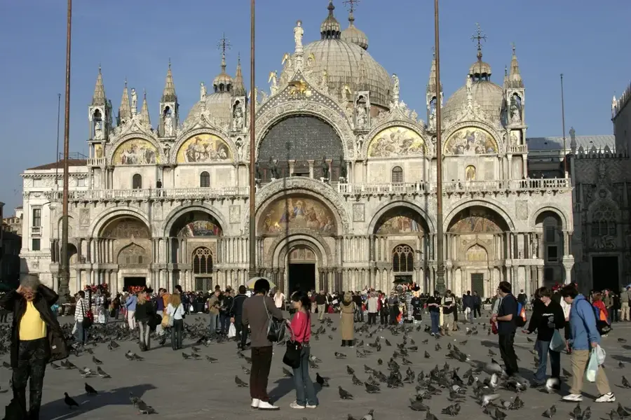
History & landmarks
Nature
More places