Plizio Visual Lab
Mayapan
Weather…
Water temperature…
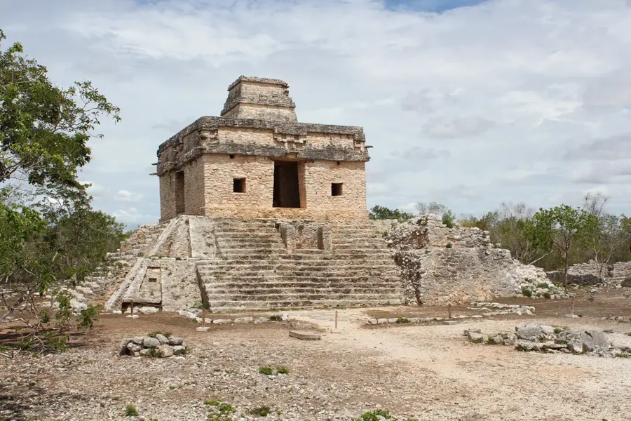
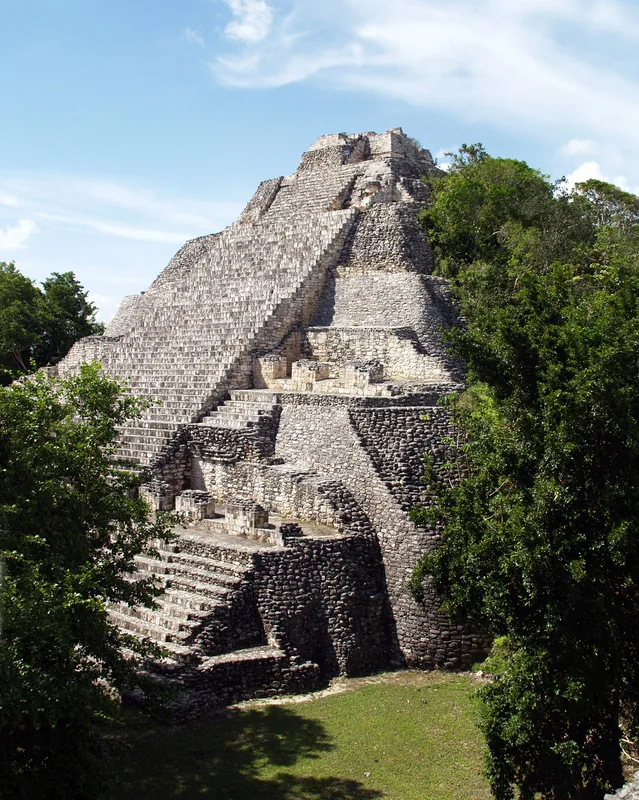
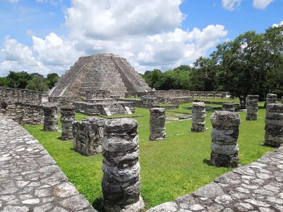
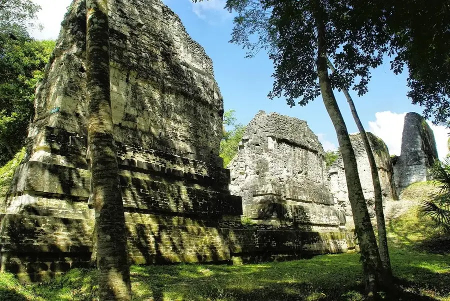
Mayapan was the final great political and cultural capital of the Maya civilization in the Yucatan Peninsula, flourishing between 1220 and 1440 AD. Following the decline of Chichén Itzá, Mayapan emerged as the seat of a powerful confederacy that governed much of the region for over two centuries. Uniquely for Maya cities, it was encircled by a massive nine-kilometer defensive wall, which protected over four thousand structures, ranging from humble residences to grand ceremonial temples. Its centerpiece is the Temple of Kukulcán, which serves as a smaller architectural homage to the iconic El Castillo pyramid at Chichén Itzá. Archaeological research suggests that the city was densely populated, housing an estimated twelve thousand residents at its peak before its violent downfall during internal revolts. Today, Mayapan has a more intimate and less crowded experience for travelers, located about forty kilometers south of Mérida. It stands as a profound testament to the Late Postclassic period's urban planning and the final chapter of independent Maya rule.
- Location: Mexico
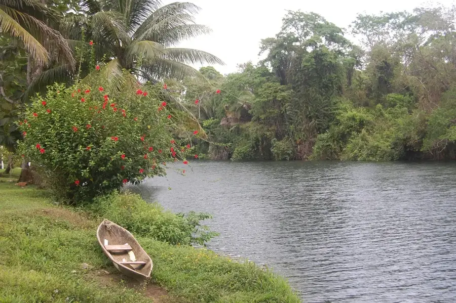
- Top sights: Cenote Nah Yah · Zona Arqueológica de Mayapán
Best time to visit & climate
The most pleasant time to visit is Jan, Feb, Dec.
| Jan | Feb | Mar | Apr | May | Jun | Jul | Aug | Sep | Oct | Nov | Dec | |
|---|---|---|---|---|---|---|---|---|---|---|---|---|
| Avg °C | 23 | 25 | 27 | 29 | 30 | 28 | 27 | 27 | 27 | 26 | 24 | 24 |
| Rain mm | 36 | 31 | 23 | 34 | 92 | 200 | 143 | 170 | 212 | 136 | 57 | 36 |
📋 Practical info
Geography
Facts
- Mayapan was the dominant Maya capital from approximately 1220 to 1441 AD.
- The city is enclosed by a 9-kilometer stone wall featuring 12 distinct gates.
- The Temple of Kukulcán is 15 meters tall, featuring architecture similar to Chichén Itzá.
- An estimated 12,000 people lived within the city's fortified boundaries at its height.
- Archaeologists have mapped over 4,000 structures within the residential zones.
- The city's fall in 1441 marked the end of centralized Maya authority in the Yucatan.
Explore nearby
Notable places around
Route planner — Car & Motorhome
Where do you start? We build the route here, with stops and country notes along the way.
© OpenStreetMap contributors · OpenRouteService
Sights in the town Mayapan (2)
Sights nearby
Frequently asked questions
Why is it called small Chichén Itzá?
Is it crowded?
Can I climb the pyramids?
Are there restrooms?
Best time to visit?
Mayapan: where is it located?
Mayapan: what is there to see?
Mayapan: when is the best time to visit?
Mayapan: why is it worth visiting?

Nearby cities
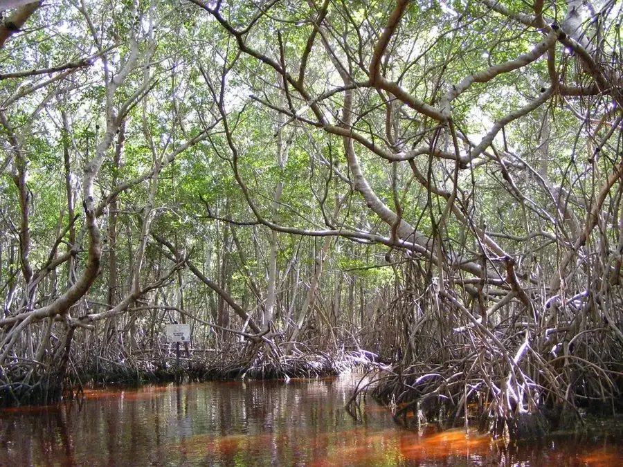
Nature
More places