Plizio Visual Lab
Antsingy River Port

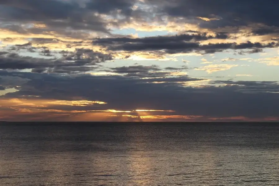
Weather…
Water temperature…
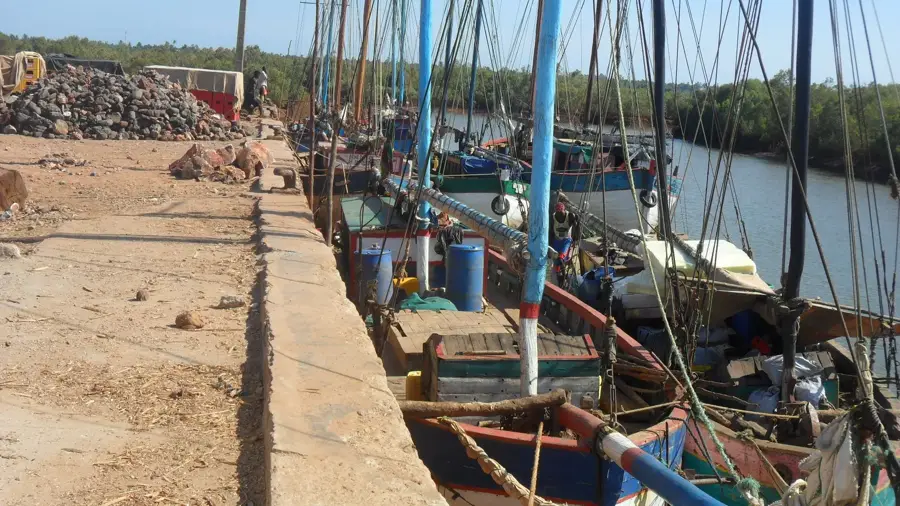
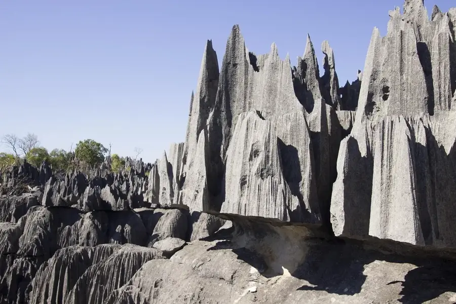
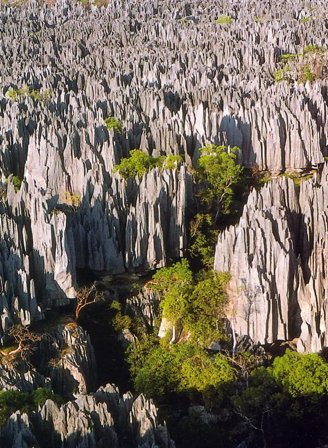
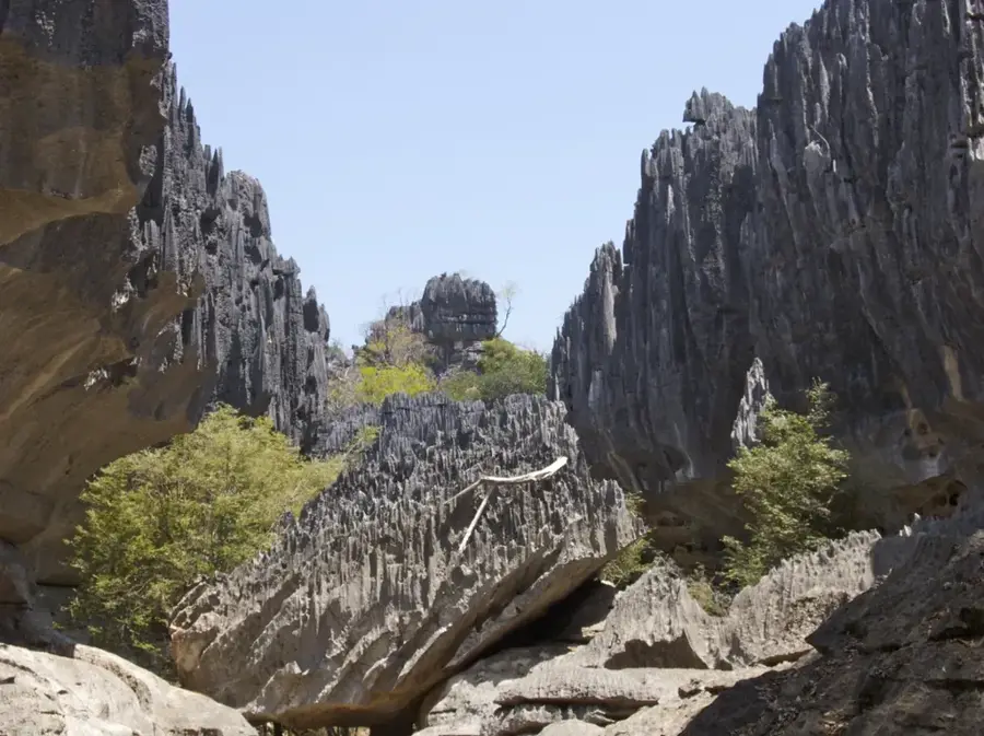
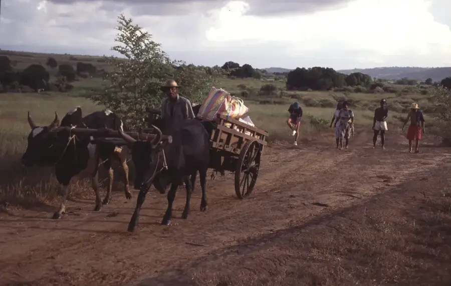
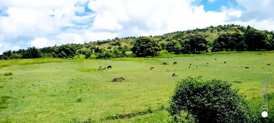
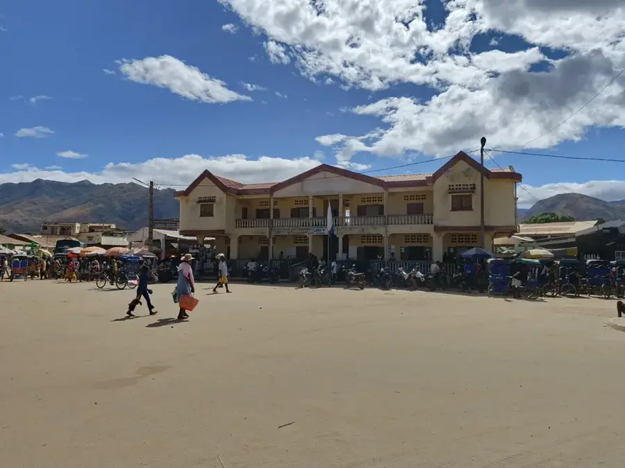
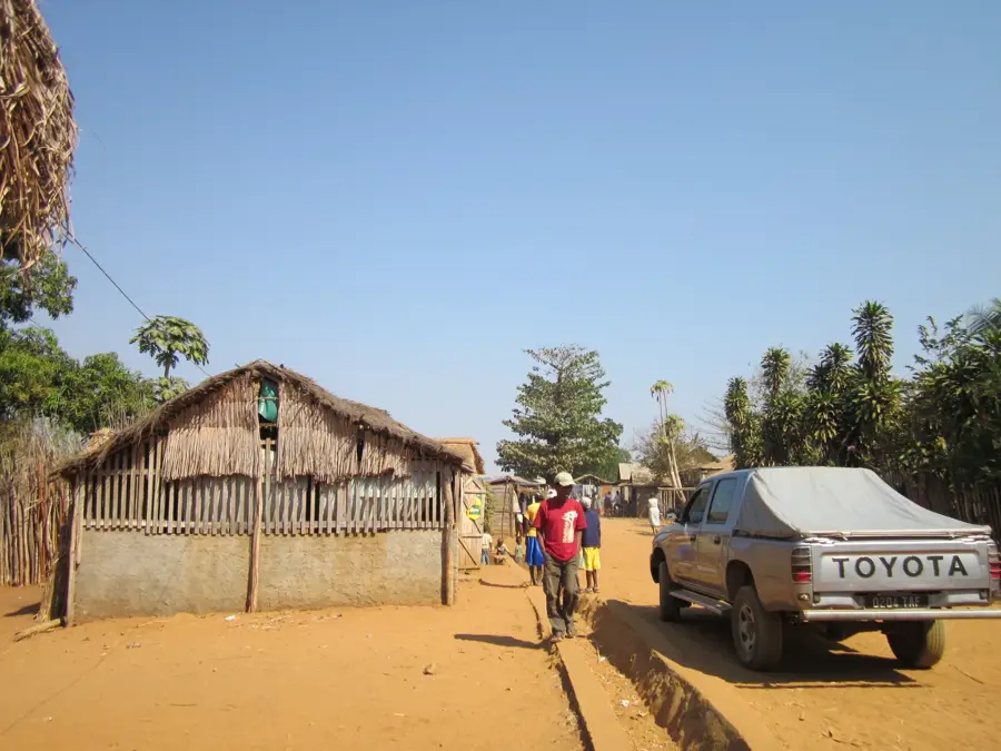
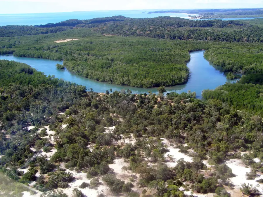
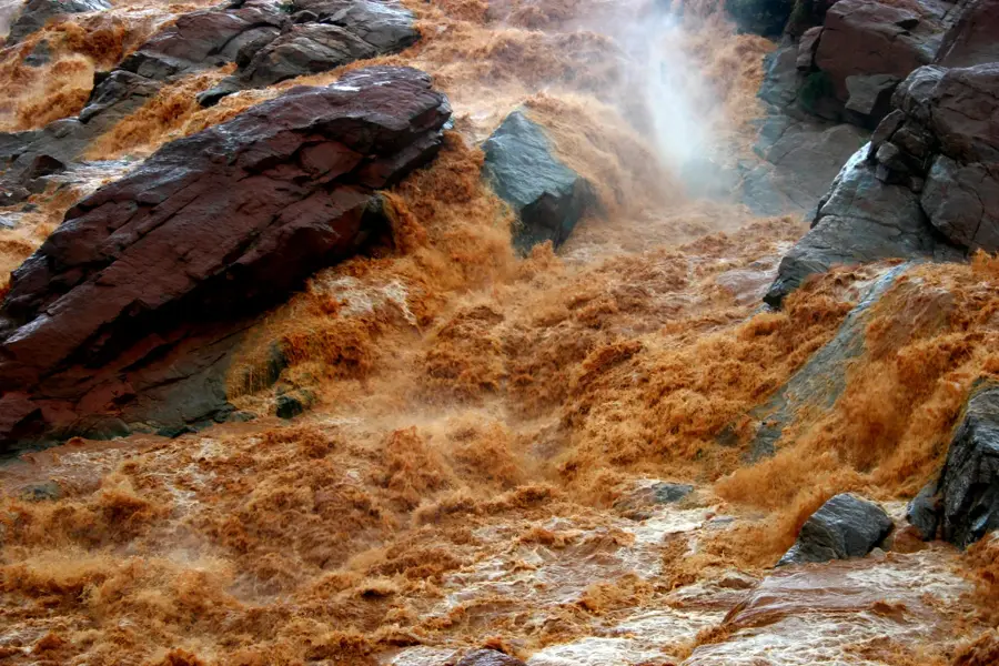
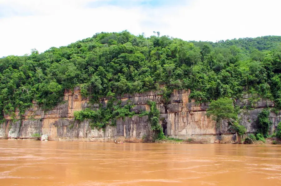
The Antsingy river port is a vital logistical hub in the Melaky region of western Madagascar. Located on the lower reaches of the Antsingy River, it serves as a crucial link for transporting agricultural products from the hinterland to the coast. Given that road connections in this remote area are often inadequate, river transport is the most efficient method for trade. The port enables the handling of goods such as rice, maize, and legumes produced by local farmers. Furthermore, the port plays an essential role in supplying nearby villages with necessary goods that arrive in the region by sea. Its infrastructure consists of simple jetties and warehouses adapted to the seasonal water level fluctuations of the river. The world-renowned Tsingy de Bemaraha limestone formations are located nearby, granting the port additional strategic importance for logistics within the tourism sector.
- Location: Madagascar
- Nearby: Antsalova (54 km)
Best time to visit & climate
The most pleasant time to visit is Jun–Aug.
| Jan | Feb | Mar | Apr | May | Jun | Jul | Aug | Sep | Oct | Nov | Dec | |
|---|---|---|---|---|---|---|---|---|---|---|---|---|
| Avg °C | 27 | 26 | 26 | 26 | 24 | 23 | 23 | 24 | 26 | 28 | 28 | 28 |
| Rain mm | 411 | 265 | 176 | 81 | 19 | 10 | 11 | 7 | 14 | 46 | 79 | 189 |
📋 Practical info
Geography
Facts
- Important river port in the Melaky region
- Used for transporting rice and maize to the sea
- Compensates for inadequate road infrastructure
- Located on the navigable lower stretches of the Antsingy
- Supply hub for remote and isolated villages
- Strategically close to the Tsingy de Bemaraha National Park
Explore nearby
Notable places around
Route planner — Car & Motorhome
Where do you start? We build the route here, with stops and country notes along the way.
© OpenStreetMap contributors · OpenRouteService
Sights nearby
Frequently asked questions
What is the river port Antsingy?
How is the accessibility?
What is near there?
When is the best travel time?
What do you need for the trip?
Antsingy River Port: where is it located?
Antsingy River Port: when is the best time to visit?
Antsingy River Port: why is it worth visiting?

Nearby cities
History & landmarks
Nature
More places