Plizio Visual Lab
Ruggell Forest
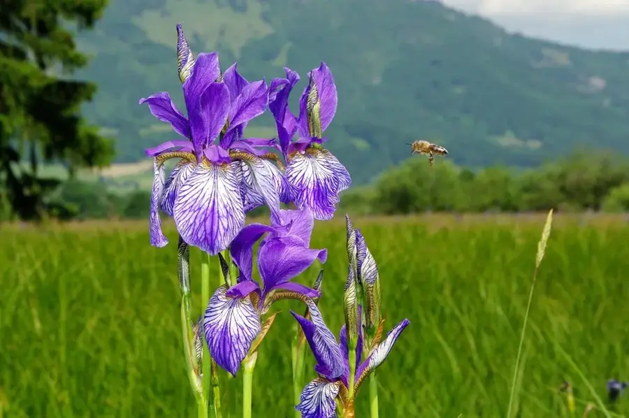
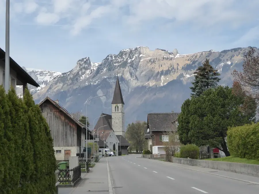
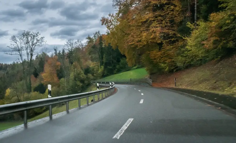
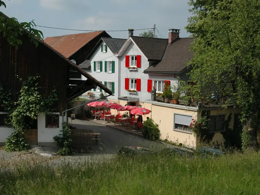
The forest near Ruggell forms Liechtenstein's northernmost green belt and borders directly on the protected Ruggeller Riet. This forested area is characterized by moisture-loving tree species such as alders and willows, which have perfectly adapted to the high groundwater level of the Rhine plain. As part of a valuable ecosystem, the forest serves as a buffer zone for the adjacent fen, which is world-renowned for its Siberian Irises. Hikers and cyclists use the shaded forest paths particularly in the summer months for excursions into the untouched nature of the Unterland. Historically, the area around Ruggell was frequently affected by the floods of the Rhine, which has lastingly influenced the soil composition and vegetation. Today, the Ruggell forest is a cherished refuge for rare bird species and insects that find well-suited nesting conditions in the deadwood structures and dense undergrowth. The flat topography also makes the area a good destination for relaxed walks without significant inclines.
- Location: Liechtenstein
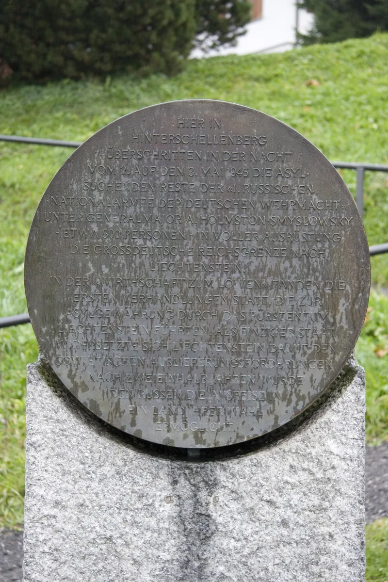
- Top sights: St. Fridolin · Ruine Alt-Schellenberg · Biedermannhaus
- Nearby: Presta-Areal (4 km)
Best time to visit & climate
The most pleasant time to visit is Jul–Sep.
| Jan | Feb | Mar | Apr | May | Jun | Jul | Aug | Sep | Oct | Nov | Dec | |
|---|---|---|---|---|---|---|---|---|---|---|---|---|
| Avg °C | -6 | -5 | -1 | 4 | 8 | 13 | 14 | 14 | 10 | 6 | 0 | -4 |
| Rain mm | 92 | 70 | 91 | 93 | 147 | 173 | 169 | 185 | 121 | 103 | 91 | 93 |
📋 Practical info
Geography
Facts
- Ruggell is the northernmost municipality of the Principality of Liechtenstein.
- The Ruggeller Riet is a nature reserve of international importance.
- The municipality is located at the country's lowest point (433 m above sea level).
- Thousands of Siberian Irises bloom here in May and June.
- The forest is part of a significant biotope network in the Rhine Valley.
- The Rhine forms the natural border here with the Canton of St. Gallen.
Explore nearby
Notable places around
Route planner — Car & Motorhome
Where do you start? We build the route here, with stops and country notes along the way.
© OpenStreetMap contributors · OpenRouteService
Sights in the town Ruggell Forest (10)
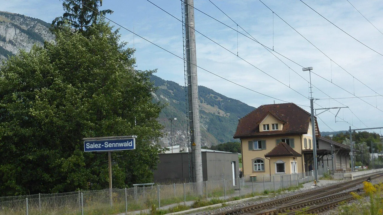
Kirche Salez
Church building in Sennwald, Switzerland.
Ruine Neu-Schellenberg🏰 castle
Castle in Liechtenstein.
Naturschutzgebiet Schneckenäule
Nature reserve in Ruggell, protecting local animal and plant life.
Alte Wagenspur
Archaeological site in Ruggell, an old wagon track from the past.
Galgen Galgenmad
Archaeological site in Ruggell, a former execution site.
Naturschutzgebiet Ruggeller Riet
Wetland in Liechtenstein.
Sights nearby
Frequently asked questions
Does the forest path lead to the Rhine?
Are there rare plants in the forest?
Is the forest flat?
Can you walk your dog without a leash there?
How shady are the paths?
Ruggell Forest: where is it located?
Ruggell Forest: what is there to see?
Ruggell Forest: when is the best time to visit?
Ruggell Forest: why is it worth visiting?

Nature
More places