Plizio Visual Lab
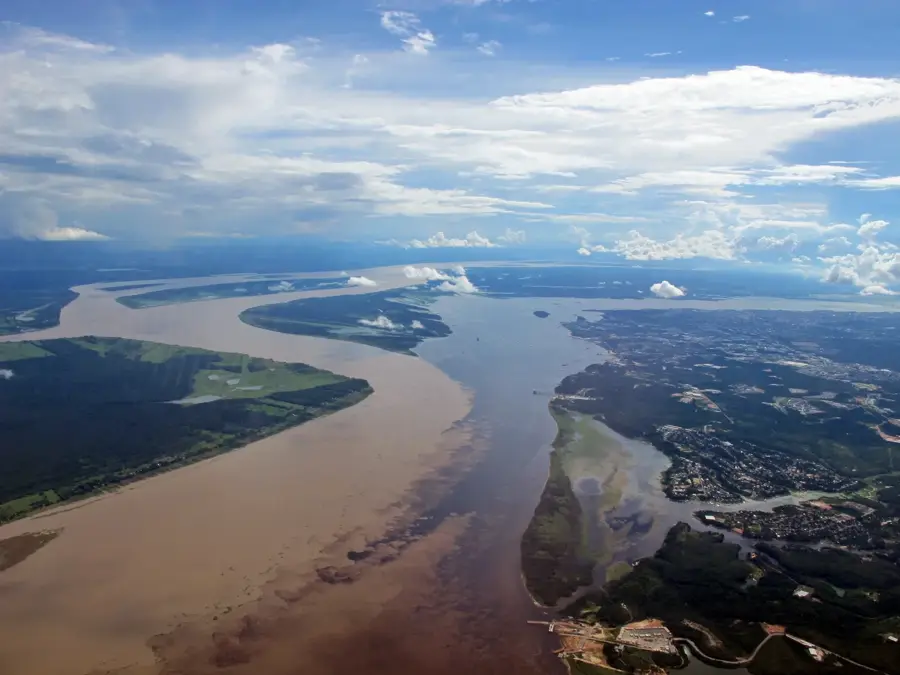
Nam Ngum River
Weather…
Water temperature…
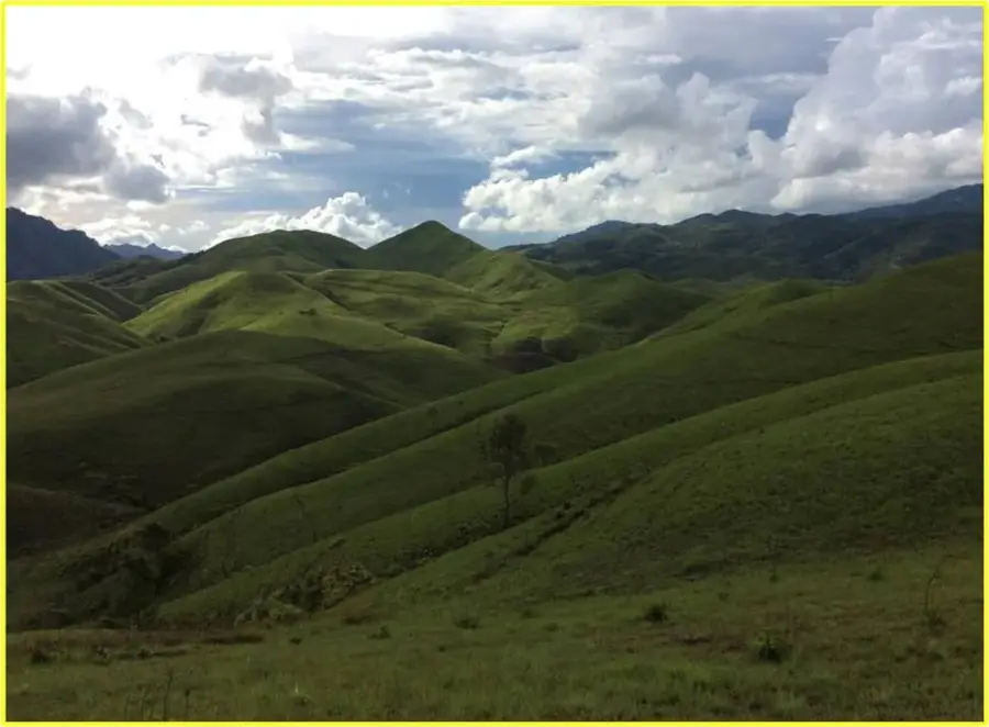
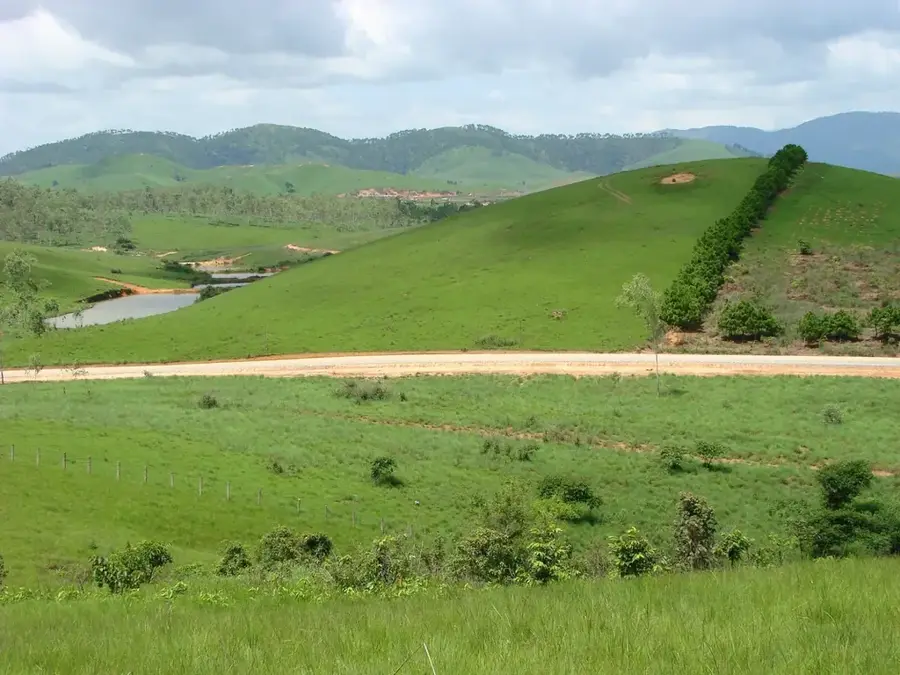
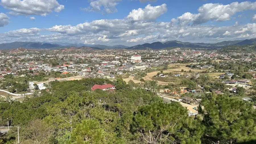
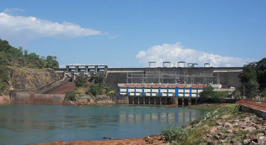
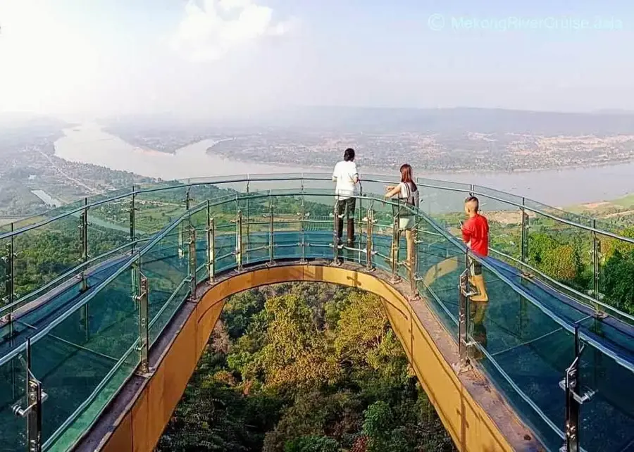
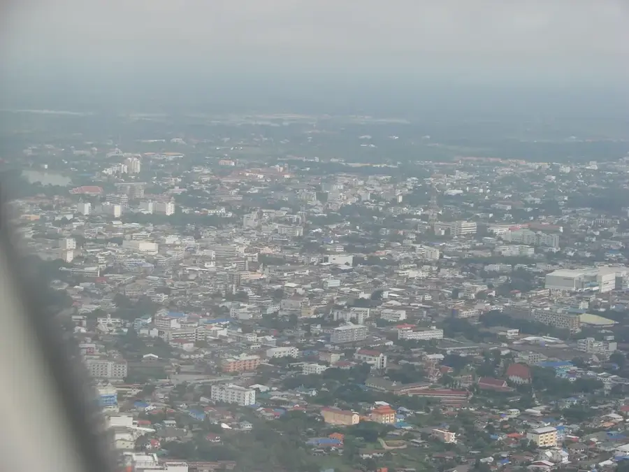
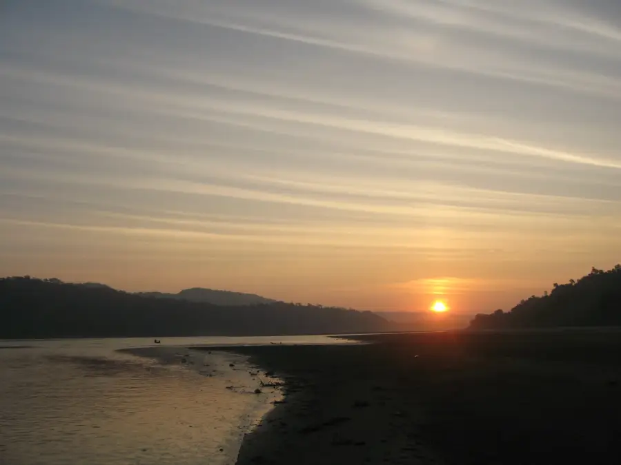
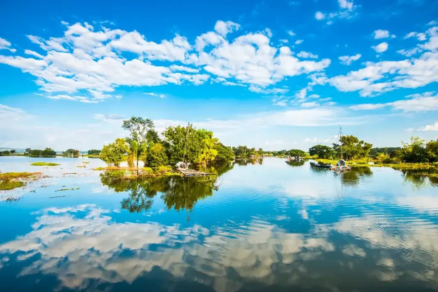
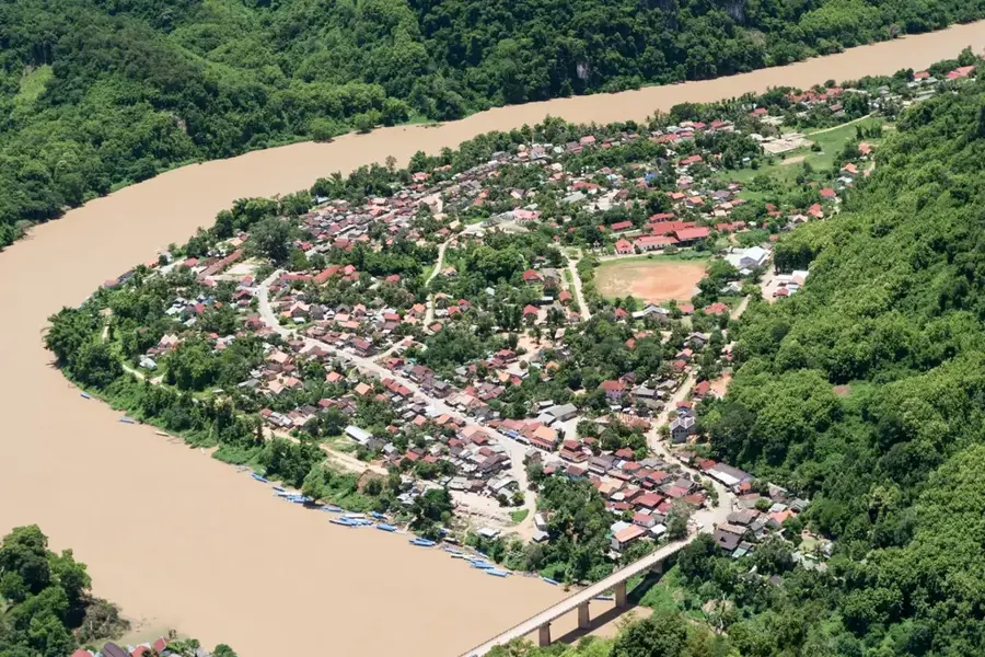
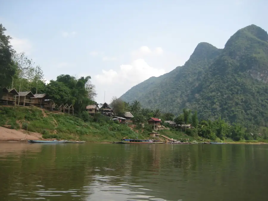
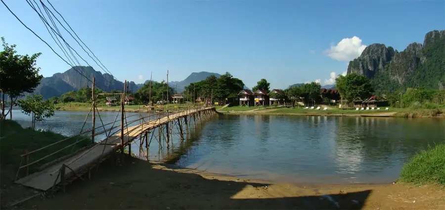
The Nam Ngum is one of the most significant rivers in Laos and a major tributary of the Mekong. Originating in the mountains of Xieng Khouang Province, it flows south for over 350 kilometres through Vientiane Province. The river is of immense economic importance due to the Nam Ngum Dam, completed in 1971, which generates a large portion of the country's electricity. This dam created the Nam Ngum Reservoir, the largest man-made lake in Laos, which has become a popular destination for boating, fishing, and island-hopping tours. The river basin is characterized by dense forests and fertile agricultural lands that are vital for food security in the capital region. Ecologically, the river supports a wide variety of fish species and aquatic birds. While heavily harnessed for hydropower, many stretches of the river remain scenically beautiful and support local livelihoods. It continues to be a focal point for national development and eco-tourism.
- Location: Laos
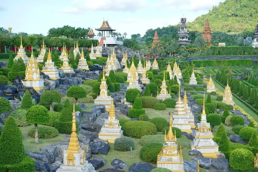
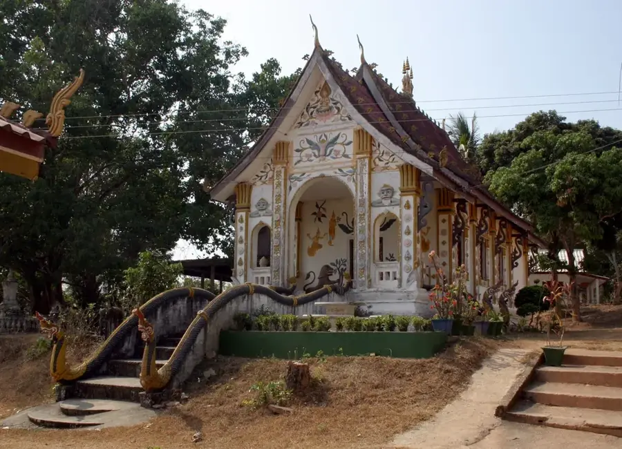
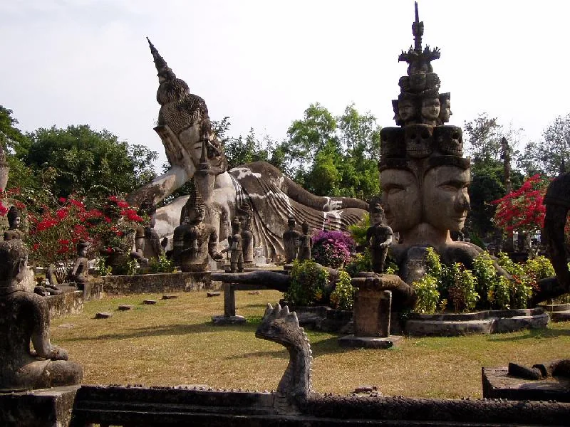
- Top sights: Floating Restaurants · Textile Museum · UXO Training
- Nearby: Nam Ngum Reservoir (9 km)
Best time to visit & climate
The most pleasant time to visit is Jan, Nov, Dec.
| Jan | Feb | Mar | Apr | May | Jun | Jul | Aug | Sep | Oct | Nov | Dec | |
|---|---|---|---|---|---|---|---|---|---|---|---|---|
| Avg °C | 21 | 25 | 28 | 31 | 29 | 28 | 27 | 27 | 27 | 25 | 23 | 21 |
| Rain mm | 8 | 13 | 35 | 62 | 168 | 170 | 203 | 246 | 204 | 85 | 16 | 6 |
📋 Practical info
Geography
Facts
- The Nam Ngum River is approximately 354 kilometres long.
- The first major hydroelectric dam in Laos was built here in 1971.
- It provides a significant portion of electricity for Vientiane.
- The Nam Ngum Reservoir covers an area of about 370 square kilometres.
- The river originates from the Tran Ninh Plateau in Xieng Khouang.
- The reservoir contains hundreds of small islands accessible by boat.
Explore nearby
Notable places around
Route planner — Car & Motorhome
Where do you start? We build the route here, with stops and country notes along the way.
© OpenStreetMap contributors · OpenRouteService
Sights in the town Nam Ngum River (5)
Sights nearby
Frequently asked questions
What is the main attraction at the Nam Ngum River?
Can you go on boat trips on the reservoir?
How far is the Nam Ngum from Vientiane?
Can you eat fish there?
Are there water sports opportunities?
Nam Ngum River: where is it located?
Nam Ngum River: what is there to see?
Nam Ngum River: when is the best time to visit?
Nam Ngum River: why is it worth visiting?

Nearby cities


History & landmarks
Nature
More places