Plizio Visual Lab
Xiangkhoang Plateau
Weather…
Water temperature…
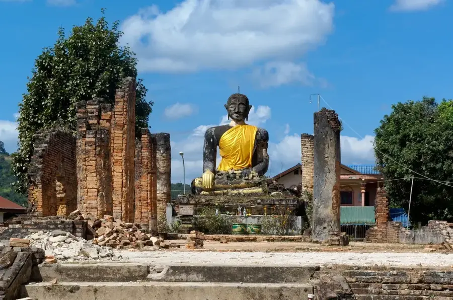
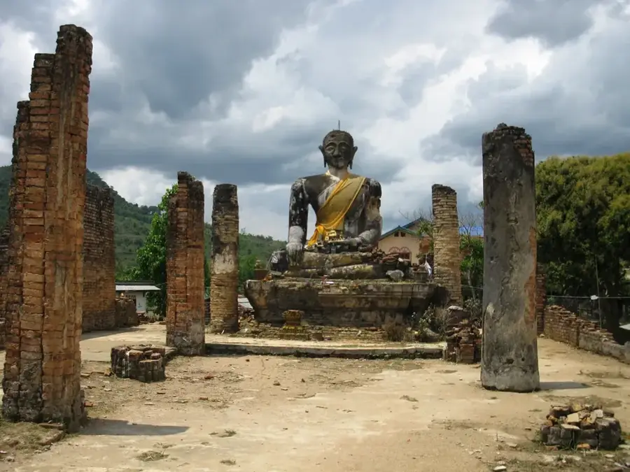
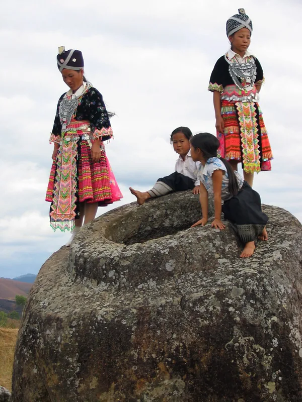
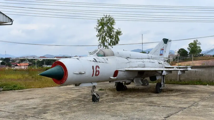
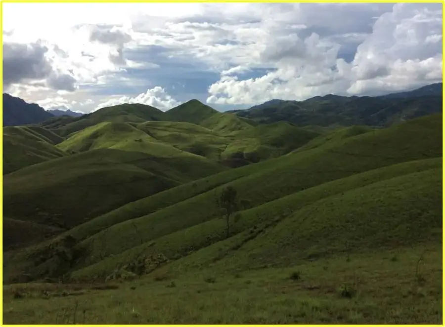
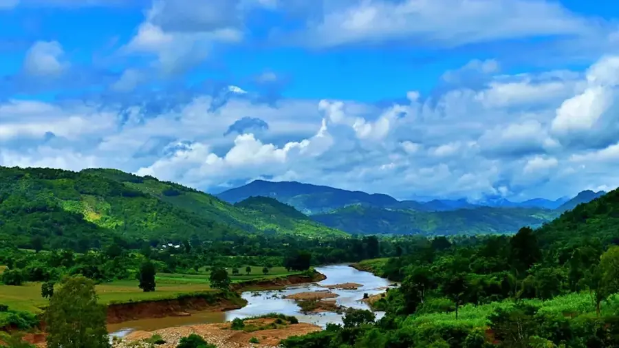
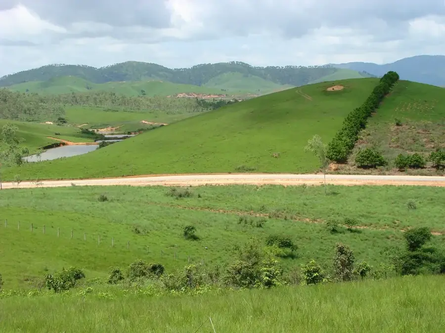
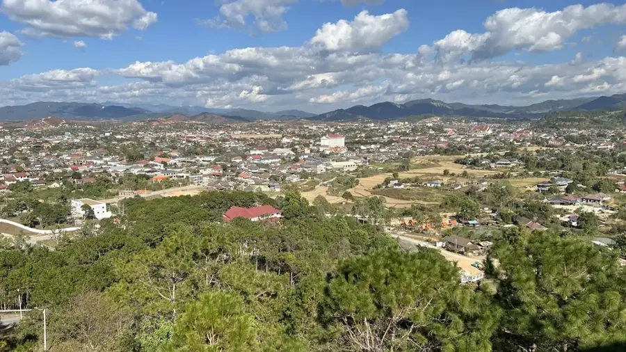
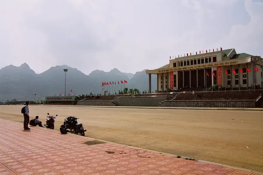
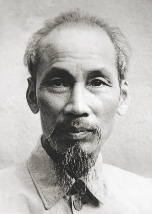
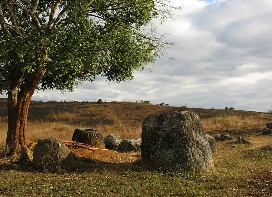
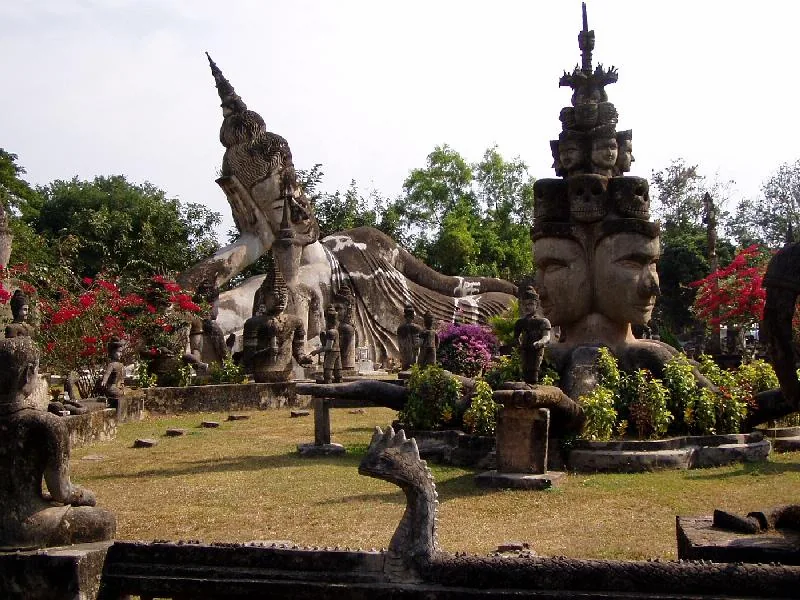
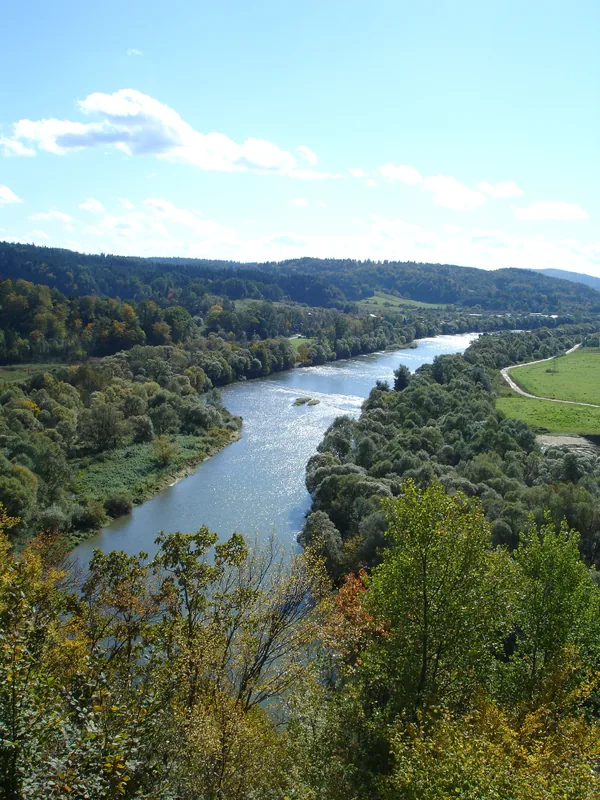
The Xiangkhouang Plateau is a vast upland region in northern Laos, situated at an average elevation of 1,000 to 1,200 meters above sea level. Geographically, the plateau is encircled by the rugged peaks of the Annamite Range and the Luang Prabang mountains. The area is globally famous for the 'Plain of Jars,' a megalithic archaeological landscape featuring thousands of large stone jars dating back to the Iron Age. Due to its high altitude, the plateau enjoys a more temperate and cooler climate than the rest of Laos, which supports diverse agriculture and cattle farming. Historically, the plateau was one of the most heavily bombed locations in the world during the Vietnam War, an event that significantly shaped its modern landscape and development. Despite this, the region has transformed into a key cultural and tourism hub, with Phonsavan serving as the provincial capital. The landscape is characterized by rolling hills, pine forests, and open grasslands.
- Location: Laos
- Nearby: Phonsavan (19 km)
Best time to visit & climate
The most pleasant time to visit is Feb, Mar, Nov.
| Jan | Feb | Mar | Apr | May | Jun | Jul | Aug | Sep | Oct | Nov | Dec | |
|---|---|---|---|---|---|---|---|---|---|---|---|---|
| Avg °C | 15 | 18 | 21 | 23 | 24 | 24 | 23 | 23 | 22 | 20 | 18 | 15 |
| Rain mm | 13 | 8 | 31 | 57 | 126 | 108 | 174 | 219 | 166 | 98 | 30 | 12 |
📋 Practical info
Geography
Facts
- The plateau is situated at an average elevation of 1,100 meters.
- It is home to the Plain of Jars, a designated UNESCO World Heritage site.
- The region is historically known as the most bombed place on Earth per capita.
- Phonsavan serves as the primary urban and transport hub for the plateau.
- The climate is significantly cooler than the Mekong River valley.
- The stone jars are estimated to be between 1,500 and 2,500 years old.
Explore nearby
Notable places around
Route planner — Car & Motorhome
Where do you start? We build the route here, with stops and country notes along the way.
© OpenStreetMap contributors · OpenRouteService
Sights nearby
Frequently asked questions
What is the Xiangkhoang Plateau?
Which city is the gateway to the plateau?
Why is the region historically significant?
What else can you see besides the jars?
What is the climate like on the plateau?
Xiangkhoang Plateau: where is it located?
Xiangkhoang Plateau: when is the best time to visit?
Xiangkhoang Plateau: why is it worth visiting?

Nearby cities
History & landmarks
Nature
More places