Plizio Visual Lab
Kant
ℹ️Practical info — Kant
▾
🌤 Weather — 5 days
📍 Nearby
Sights nearby
💡 Tips
- As a small industrial town, it's mostly easily navigated on foot, though marshrutkas (minibuses) are available.
- Russian and Kyrgyz are the main languages; having a translation app or knowing basic phrases is very helpful.
- The town serves as a great, less-touristy base to explore the nearby Chuy Valley.
- The presence of a military airbase means you should avoid taking photographs of any military installations or personnel.
🍽 Food
Enjoy grilled meat skewers at a traditional roadside chaikhana (teahouse).
A hearty Central Asian noodle soup with meat and vegetables, found in most local eateries.
Grab these baked pastries filled with meat and onions from street vendors for a quick snack.
🛍 Shopping · 🧘 Quiet spots
The central market is the best place for fresh fruits, vegetables, and everyday essentials.
Look for locally sourced honey and walnuts sold in small shops or at the market.
A modest green space in the center, good for resting under the shade of trees.
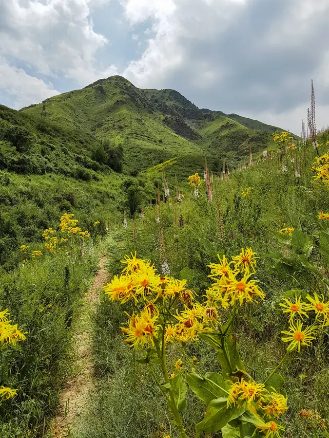
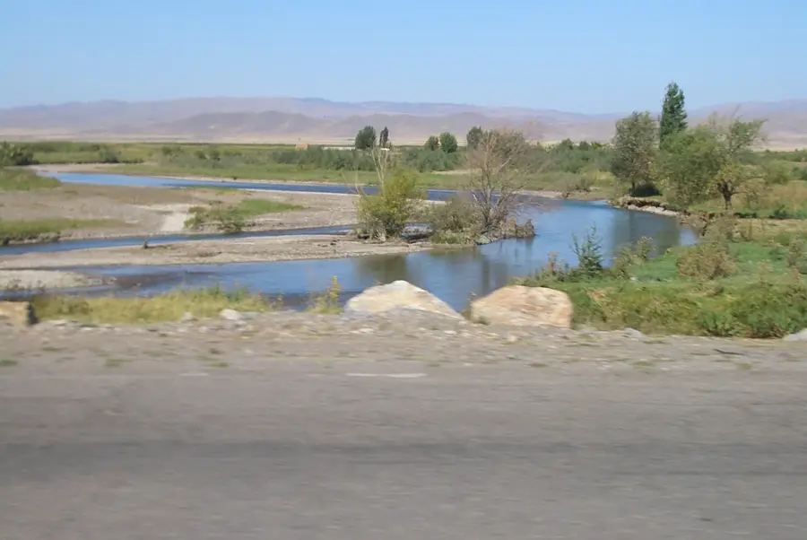
Take a short walk towards the edges of the town to see the open agricultural landscapes of the valley.
Water temperature…
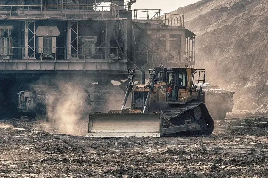
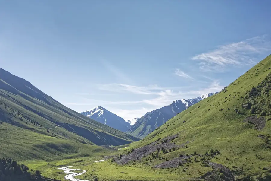
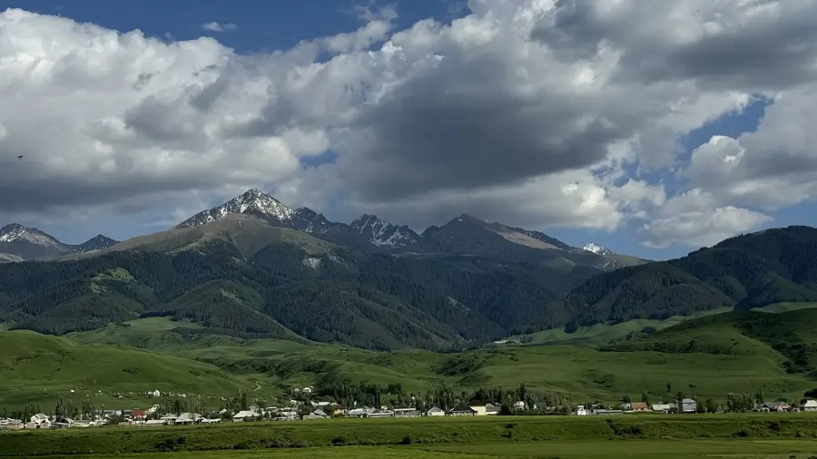
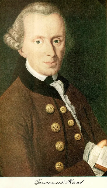
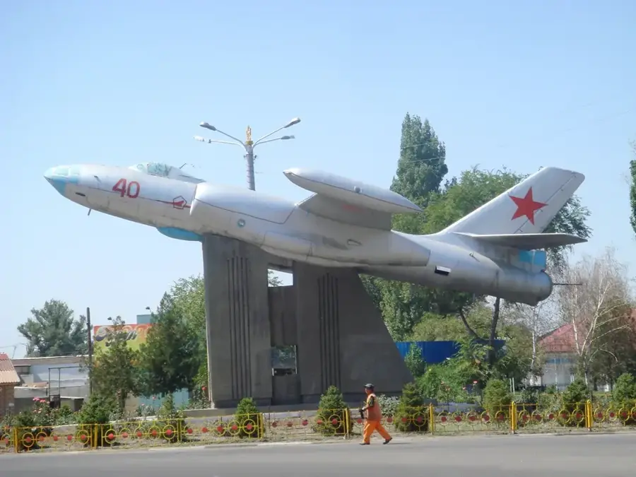
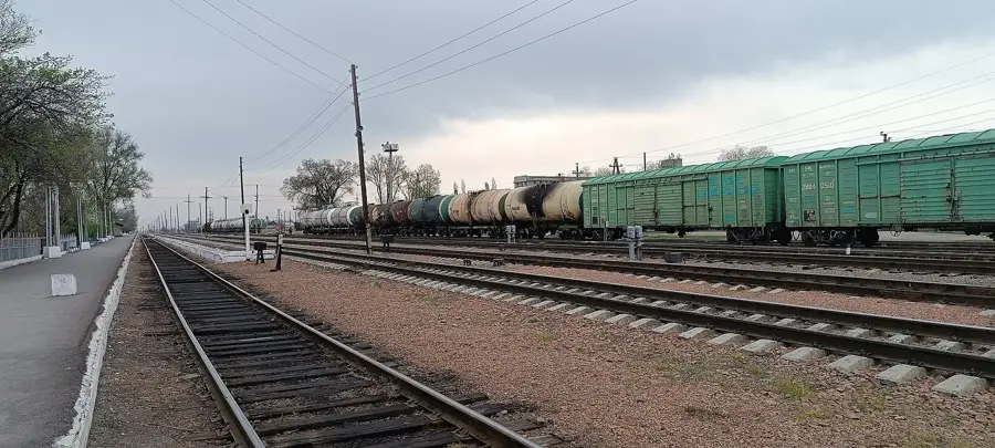
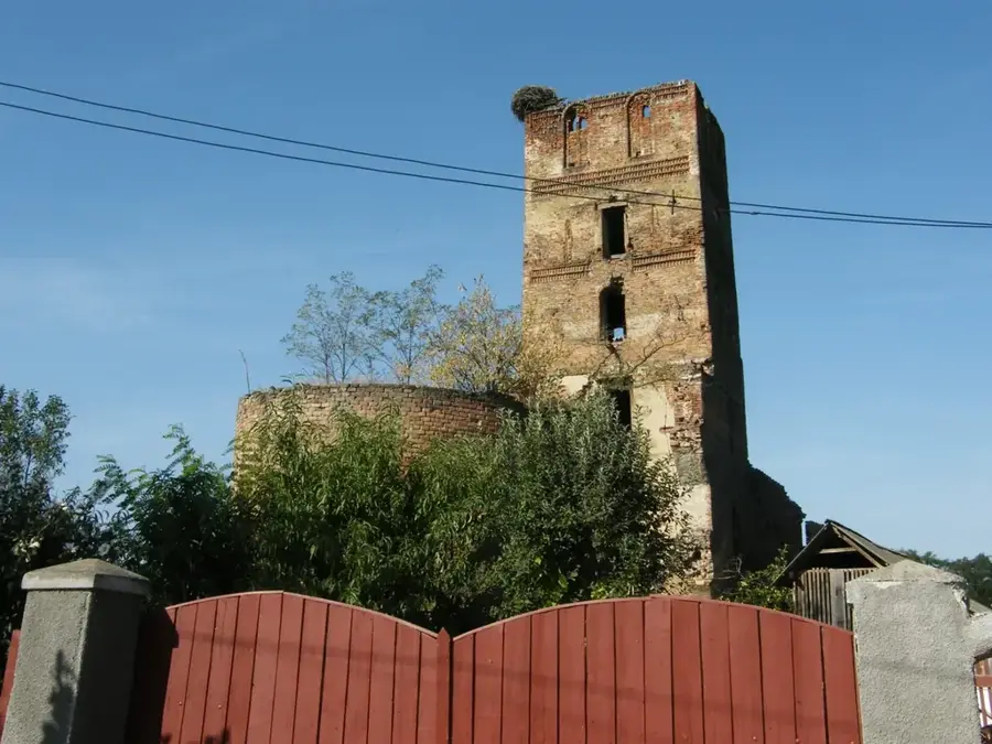
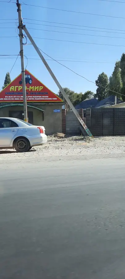
Kant lies about 20 kilometres east of Bishkek in the Chuy Valley at around 750 metres above sea level and has just under 30,000 inhabitants today. The town emerged in the late 19th century as a German Mennonite settlement and was named in honour of the Königsberg philosopher Immanuel Kant, whose Enlightenment legacy the Evangelical-Lutheran settlers held in high regard. Until the 1990s, one of the largest German-speaking communities in Kyrgyzstan lived here, and its influence remains visible in the distinctive architecture of some farmsteads. The local economy is dominated by a large cement plant built in the 1960s, considered one of the most modern in Central Asia, along with a sugar-beet refinery and engineering workshops. Strategically important is Kant Air Base, which since 2003 has hosted Russian forces under the Collective Security Treaty Organisation and houses a squadron of combat aircraft.
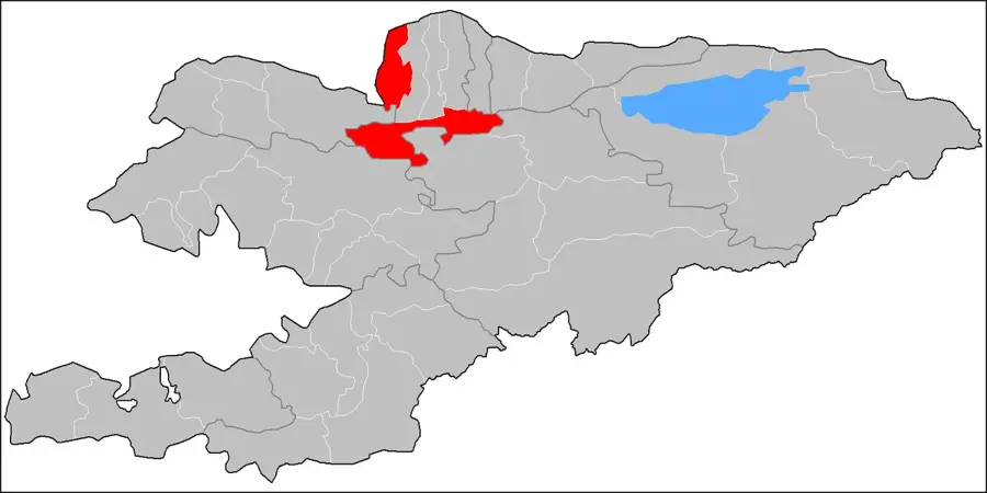
- Location: Kyrgyzstan
- Nearby: Chunkurchak (26 km)
- Population: ~22.617 (2022)
Best time to visit & climate
The most pleasant time to visit is Jun, Aug, Sep.
| Jan | Feb | Mar | Apr | May | Jun | Jul | Aug | Sep | Oct | Nov | Dec | |
|---|---|---|---|---|---|---|---|---|---|---|---|---|
| Avg °C | -1 | 1 | 7 | 12 | 17 | 22 | 25 | 24 | 18 | 11 | 4 | -1 |
| Rain mm | 22 | 29 | 43 | 65 | 53 | 34 | 24 | 15 | 16 | 37 | 37 | 29 |
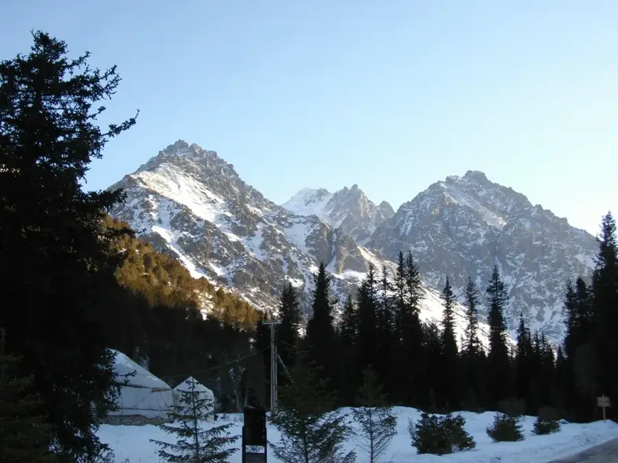
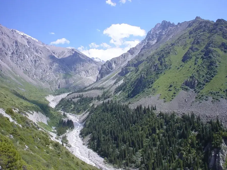
Geography
Facts
- Home to a major Russian air force base.
- Named after the German philosopher Immanuel Kant.
- Was formerly a hub for Kyrgyzstan's German minority.
- Features a large cement factory and food processing plants.
- Located only about 20 km east of the capital, Bishkek.
- Considered one of the most industrially developed small towns.
- The region is known for sugar beet cultivation.
Explore nearby
Notable places around
Route planner — Car & Motorhome
Where do you start? We build the route here, with stops and country notes along the way.
© OpenStreetMap contributors · OpenRouteService
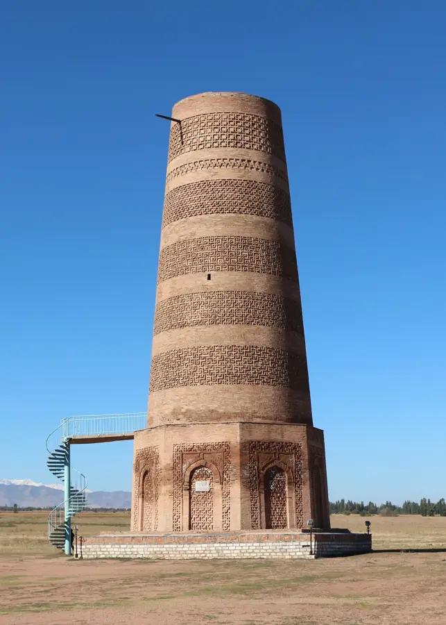
Sights in the town Kant (1)
Frequently asked questions
Where does the city of Kant get its name?
How far is Kant from Bishkek?
What is militarily significant there?
Is there industry there?
Is Kant interesting for tourists?
Kant: where is it located?
Kant: when is the best time to visit?
Kant: why is it worth visiting?

Nearby cities
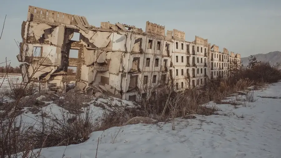
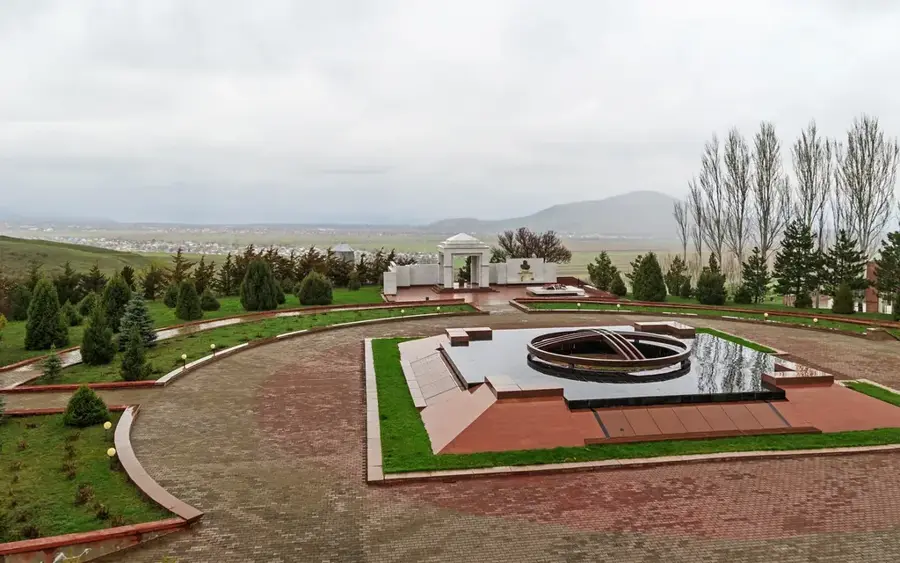
History & landmarks
Nature
More places