Plizio Visual Lab
Kaindy
ℹ️Practical info — Kaindy
▾
🌤 Weather — 5 days
📍 Nearby
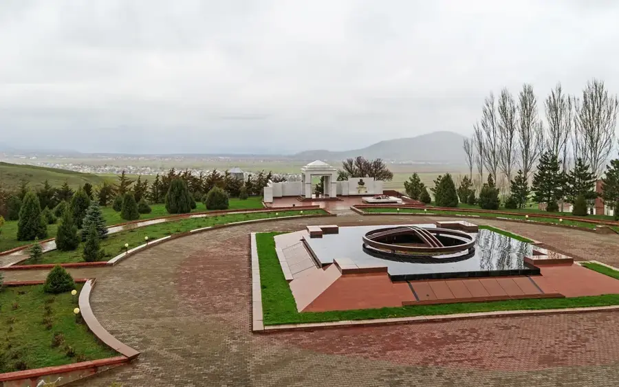
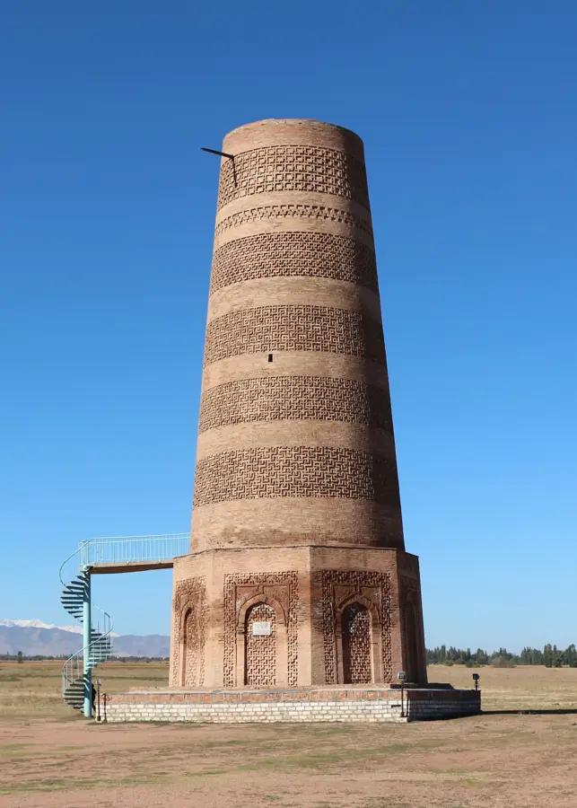
Sights nearby
💡 Tips
- Minibuses (marshrutkas) are the best way to get around; make sure to bring small cash in Som.
- Explore the area around the sugar factory, which highlights the town's distinct industrial history.
- Treat the town primarily as a quick stopover for supplies on your way to the nearby mountains.
- Local grocery shops might close early, so get your daily essentials well before evening.
🍽 Food
Thick noodles with meat and vegetables, found in simple local eateries along the main road.
Savory filled pastries that make a first-rate quick snack from bakeries near the center.
Traditional steamed dumplings served fresh in almost all traditional cafes.
🛍 Shopping · 🧘 Quiet spots
The best place to buy fresh regional produce and traditional Kyrgyz flatbread.
Look for locally produced sugar in the small neighborhood grocery stores.
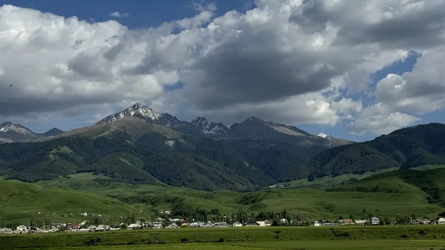
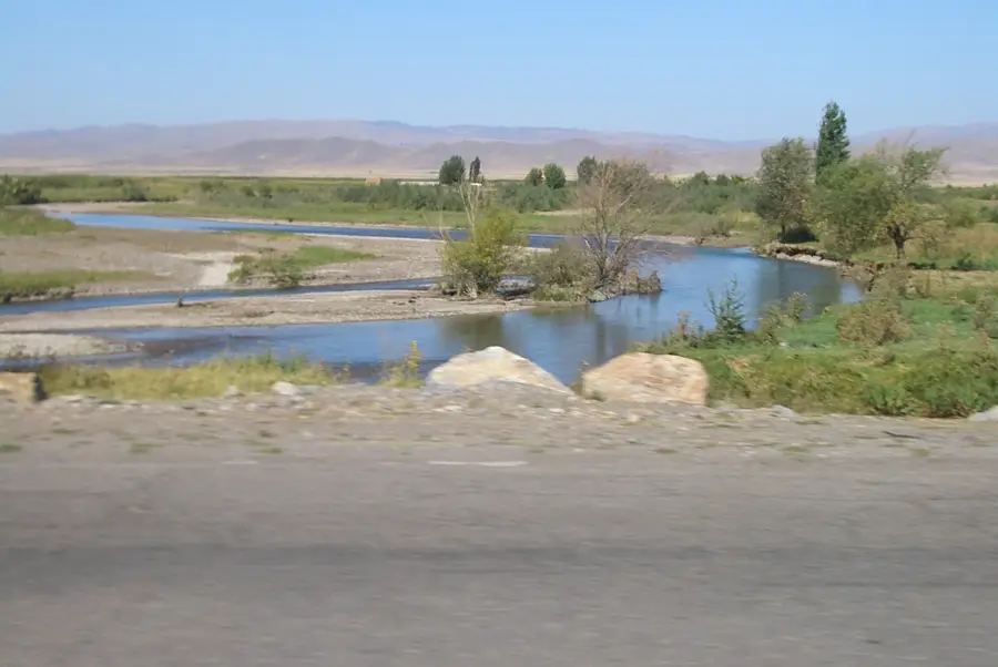
Features peaceful and expansive views of the surrounding Chuy Valley.
A small, quiet green space located near the local government buildings.
Water temperature…
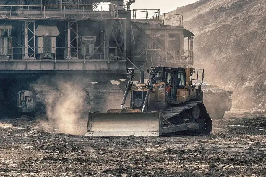
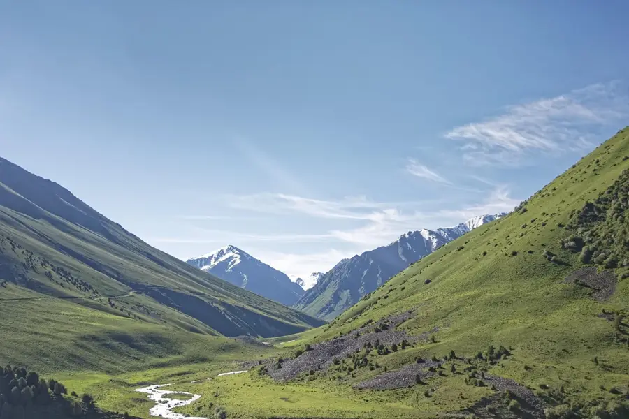
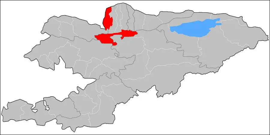
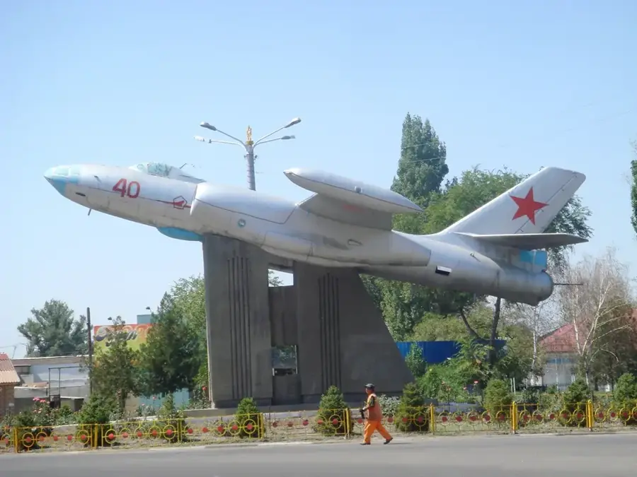
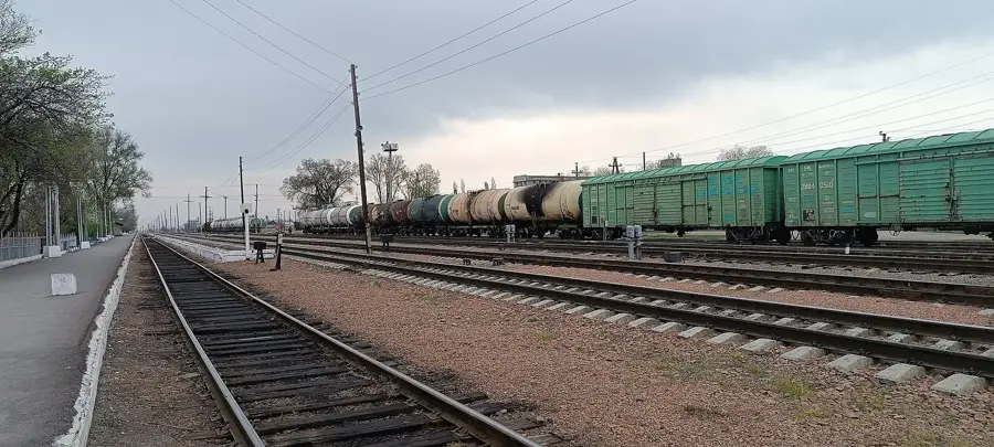
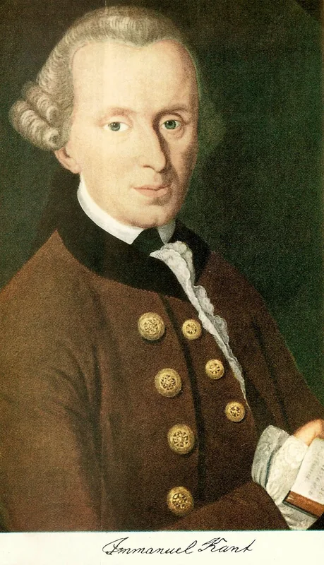
Kaindy lies in the western Chuy Valley about 40 kilometres west of Bishkek at around 730 metres above sea level and has roughly 8500 inhabitants. The town is the administrative centre of the Panfilov District, named after the Soviet Major-General Ivan Panfilov, whose 316th Rifle Division made a vital contribution to the defence of Moscow in 1941. Economically the town has rested since the 1950s on a large sugar refinery, which processed the sugar-beet harvest of the Chuy valley sovkhozes and at its peak employed several thousand workers; alongside it operated maize and grain mills as well as a shoe factory. In 2012 Kaindy was officially elevated to city status after decades as a large village. It lies directly on the busy Bishkek-Taras railway line that links Kyrgyzstan with the rail network of southern Kazakhstan.
- Location: Kyrgyzstan
- Nearby: Kara-Balta (19 km)
- Population: ~9.561 (2022)
Best time to visit & climate
The most pleasant time to visit is May, Jun, Sep.
| Jan | Feb | Mar | Apr | May | Jun | Jul | Aug | Sep | Oct | Nov | Dec | |
|---|---|---|---|---|---|---|---|---|---|---|---|---|
| Avg °C | 0 | 2 | 9 | 14 | 19 | 25 | 28 | 26 | 20 | 13 | 6 | 1 |
| Rain mm | 25 | 29 | 39 | 54 | 41 | 25 | 17 | 12 | 13 | 34 | 38 | 29 |
Geography
Facts
- Centre of the Kyrgyz sugar industry with a large refinery.
- The name means 'Place of Birches' in the Kyrgyz language.
- Founded in the 1930s as a workers' settlement.
- Officially attained city status in 2012.
- Serves as the administrative centre for the Panfilov District.
- The town is a key freight railway station near the Kazakh border.
- Features a plant for manufacturing cables and metal products.
Explore nearby
Notable places around
Route planner — Car & Motorhome
Where do you start? We build the route here, with stops and country notes along the way.
© OpenStreetMap contributors · OpenRouteService
Sights in the town Kaindy (1)
Frequently asked questions
What is the main function of Kaindy?
Where exactly is Kaindy located?
Is there a railway station?
What does the name Kaindy mean?
Is it worth a visit for tourists?
Kaindy: where is it located?
Kaindy: when is the best time to visit?
Kaindy: why is it worth visiting?

Nearby cities
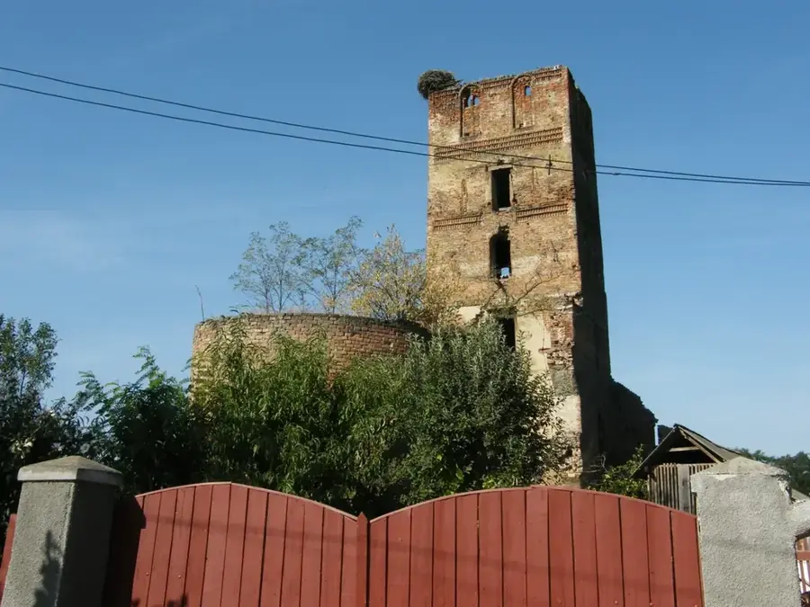


History & landmarks
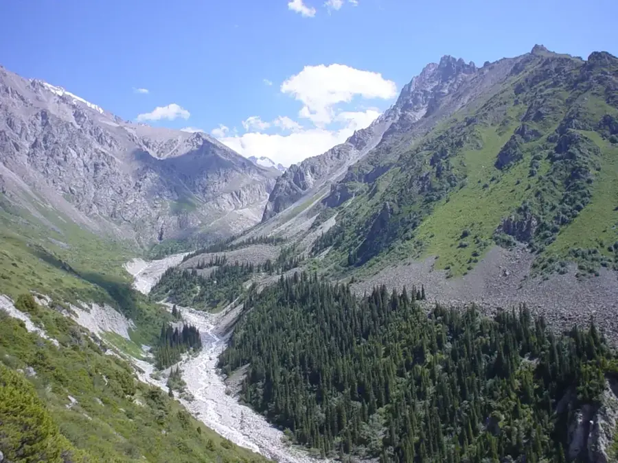
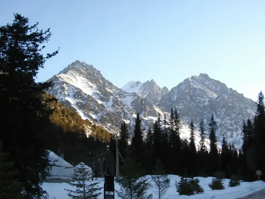
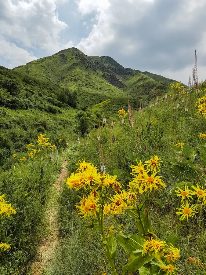
Nature
More places