Plizio Visual Lab
May Day Mountains
Weather…
Water temperature…
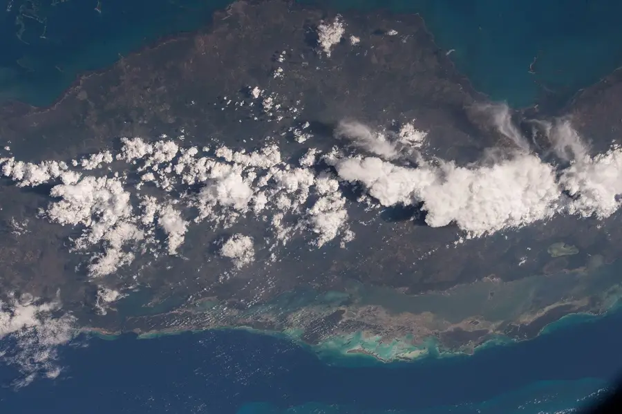
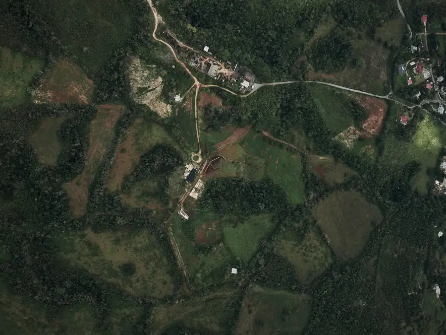
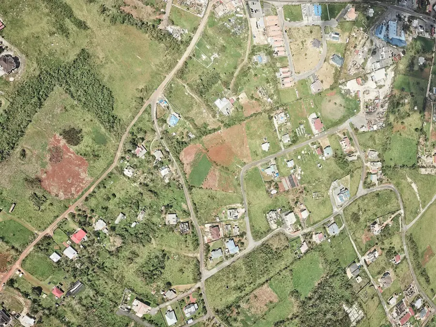
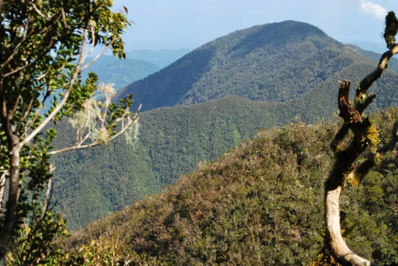
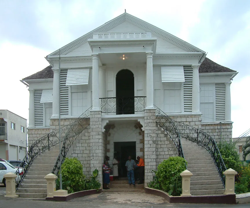
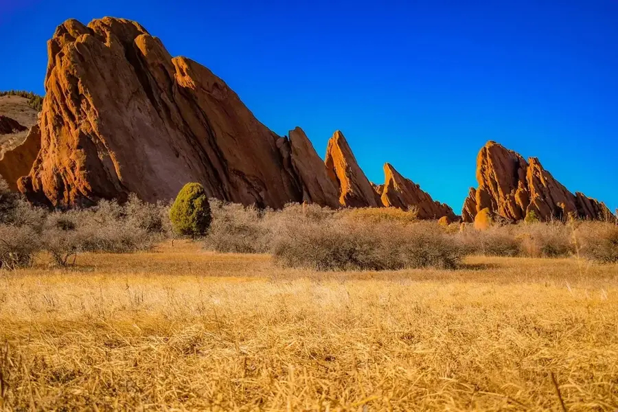
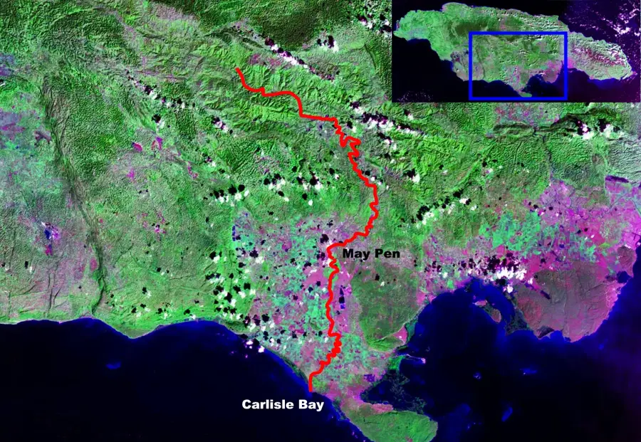
The May Day Mountains are located in the south-central parish of Manchester, forming a rugged limestone ridge that defines the landscape around the town of Mandeville. This range is part of the Don Figuerero Mountains and is characterized by a cool, temperate climate that is unique in Jamaica. The elevation, which reaches over 600 meters, has historically made this region a favorite for European settlers seeking relief from the coastal heat. The mountains are rich in high-quality bauxite deposits, making Manchester the center of Jamaica's alumina industry for decades. The topography includes deep sinkholes and fertile 'bottoms' where citrus and coffee are cultivated in the red terra rossa soil. The May Day Mountains also serve as an important ecological corridor for resident and migratory birds, with Mandeville being recognized as one of the best locations for birdwatching on the island due to its diverse highland habitats.
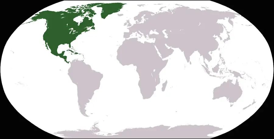
- Location: Jamaica
- Top sights: Mandeville, Jamaica · Williamsfield, Jamaica
- Nearby: Runaway Bay (21 km)
Best time to visit & climate
The most pleasant time to visit is Jan–Mar.
| Jan | Feb | Mar | Apr | May | Jun | Jul | Aug | Sep | Oct | Nov | Dec | |
|---|---|---|---|---|---|---|---|---|---|---|---|---|
| Avg °C | 25 | 26 | 26 | 27 | 28 | 27 | 28 | 28 | 28 | 27 | 26 | 26 |
| Rain mm | 43 | 23 | 36 | 51 | 127 | 91 | 69 | 95 | 128 | 162 | 92 | 49 |
📋 Practical info
Geography
Facts
- Located in Manchester parish, part of the Don Figuerero range.
- Mandeville, the parish capital, sits at an elevation of over 600 meters.
- The range is famous for its cool, misty, and temperate climate.
- Contains some of Jamaica's most productive bauxite mining sites.
- The red 'terra rossa' soil is highly fertile for citrus and coffee.
- Historically settled by British retirees for its 'English' weather.
- The mountains feature classic karst features like large sinkholes.
- Major habitat for endemic birds like the Yellow-billed Parrot.
Explore nearby
Notable places around
Route planner — Car & Motorhome
Where do you start? We build the route here, with stops and country notes along the way.
© OpenStreetMap contributors · OpenRouteService
Sights in the town May Day Mountains (2)
Sights nearby
Frequently asked questions
Where are the May Day Mountains?
What is the climate like in this region?
What is grown there?
What role does mining play here?
Is Mandeville a good starting point?
May Day Mountains: where is it located?
May Day Mountains: what is there to see?
May Day Mountains: when is the best time to visit?
May Day Mountains: why is it worth visiting?

Nearby cities

History & landmarks
Nature

More places