Plizio Visual Lab
Ébrié Lagoon
Weather…
Water temperature…
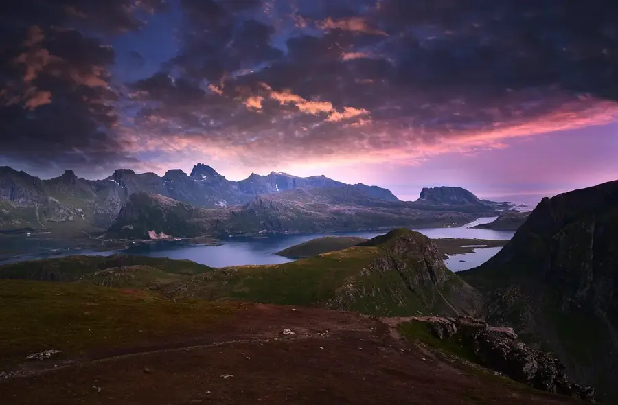
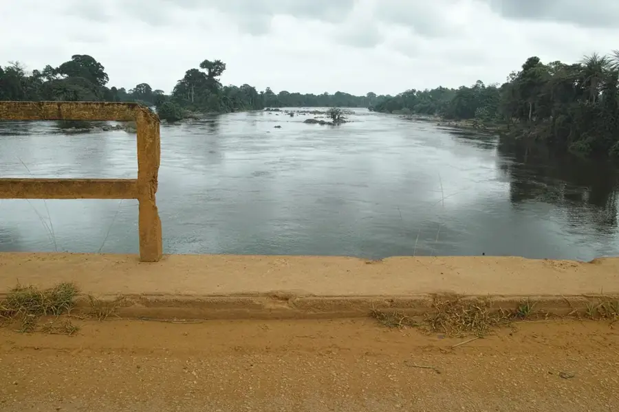
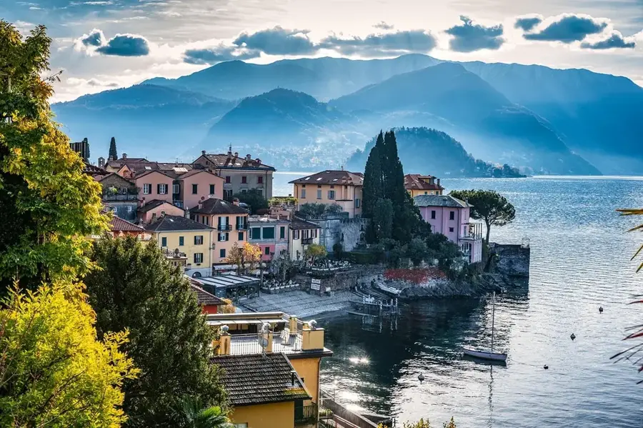
The Ébrié Lagoon is the largest lagoon system in West Africa, spanning an area of approximately 566 square kilometers along the coast of Ivory Coast. It is the geographic and economic heart of Abidjan, the nation's largest city, effectively dividing the metropolis into northern and southern sectors. The completion of the Vridi Canal in 1950 was a transformative event, linking the lagoon to the Atlantic Ocean and facilitating the development of one of Africa's most significant deep-water ports. Ecologically, the lagoon is a vast brackish water environment that supports diverse aquatic life, though it faces substantial environmental challenges from urban pollution and land reclamation. Despite these issues, it remains a vital artery for local fisheries and the city's water taxi network. The lagoon's scenic waterfronts and iconic bridges, such as the Third Bridge, symbolize the modernization and commercial vitality of the Ivorian coastline.
- Location: Côte d’Ivoire
- Nearby: Abidjan (12 km)
Best time to visit & climate
The most pleasant time to visit is Jan, Aug, Sep.
| Jan | Feb | Mar | Apr | May | Jun | Jul | Aug | Sep | Oct | Nov | Dec | |
|---|---|---|---|---|---|---|---|---|---|---|---|---|
| Avg °C | 27 | 28 | 28 | 28 | 27 | 26 | 25 | 24 | 25 | 26 | 27 | 27 |
| Rain mm | 37 | 65 | 125 | 170 | 232 | 267 | 87 | 34 | 70 | 138 | 98 | 57 |
📋 Practical info
Geography
Facts
- The Ébrié Lagoon covers a total surface area of about 566 square kilometers.
- The Vridi Canal was opened in 1950, creating a deep-sea port for Abidjan.
- The lagoon system stretches for 130 kilometers along the coast.
- Average water depth is roughly 5 meters, with maximums up to 20 meters.
- It receives freshwater inflow from rivers such as the Comoé and Agnéby.
- The lagoon supports a significant artisanal fishing industry for the capital.
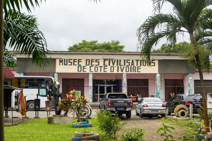
Explore nearby
Notable places around
Route planner — Car & Motorhome
Where do you start? We build the route here, with stops and country notes along the way.
© OpenStreetMap contributors · OpenRouteService
Sights nearby
Frequently asked questions
How big is the Ébrié Lagoon?
Can you swim in the lagoon?
Are there boat taxis?
What fish live there?
How is the water quality?
Ébrié Lagoon: where is it located?
Ébrié Lagoon: when is the best time to visit?
Ébrié Lagoon: why is it worth visiting?

Nature
More places