Plizio Visual Lab

Ferké Savanna

Plizio editorial teamData Sources
Relief
—°
Ferké Savanna (Côte d’Ivoire)

Weather…

The Ferké Savanna, named after the city of Ferkessédougou, occupies the northernmost reaches of Ivory Coast within the extensive Sudanian zone. This flat to gently rolling landscape is characterized by open grasslands dotted with iconic baobabs and shea (karité) trees. The terrain is remarkably uniform, only occasionally broken by low-lying lateritic plateaus. Due to the pronounced dry season, the region has become a hub for cattle ranching and large-scale sugarcane cultivation, supported by sophisticated irrigation projects. The Harmattan, a dry and dusty wind from the Sahara, significantly influences the climate between December and February. Culturally, the area is a melting pot of ethnic groups, including the Senoufo people, and serves as a vital transit point for international trade with Burkina Faso.

Best time to visit & climate

The most pleasant time to visit is Jan, Nov, Dec.

JanFebMarAprMayJunJulAugSepOctNovDec
Avg °C272930292827262525262726
Rain mm4215793115133145159177117265

📋 Practical info

🧭
Getting there
The expansive open plains of this northern region are generally reached by traveling along the primary national roads connecting to major towns like Ferkessédougou. Once off the main highway, accessing the deeper savanna typically requires a capable vehicle to navigate the unpaved and dusty tracks.
📅
Best season
The dry season, which generally extends from November to April, is considered the most practical time for traveling through these open landscapes. During the wetter months, the characteristic lateritic soil often turns into thick, slippery mud, making travel significantly more difficult.
⛰️
Terrain & paths
The area is widely characterized by flat, expansive grasslands punctuated by reddish lateritic plateaus and occasional scattered shrubs. The ground underfoot is usually solid and straightforward for walking during the dry months, though the terrain can stretch endlessly with little variation.
🎒
What to bring
Given the completely open nature of the environment, comprehensive sun protection, a wide hat, and an ample supply of drinking water are absolute necessities. Breathable, long-sleeved clothing is also highly recommended to comfortably shield against both the intense midday sun and typical savanna insects.
🅿️
Parking
Formal parking is essentially nonexistent in the open plains; visitors generally park their vehicles thoughtfully in safe, flat areas near local villages or beside established tracks. It is always best to ensure the car is parked on solid ground and does not block the pathways used by local herders.
⚠️
Safety
The main natural hazard here is undeniably the intense, relentless heat, so actively avoiding strenuous physical activity during the very middle of the day is strongly advised for all visitors. It is also generally recommended to stay reasonably close to your reliable vehicle and to carry a dependable navigation device in the featureless landscape.
⏱️
Time needed
Exploring a localized section of the vast plains usually takes about two to four fully committed hours, which is realistically enough time to genuinely appreciate the impressive vastness of the lateritic plateau. For a somewhat more comprehensively satisfying broader experience, visiting tourists often systematically plan a well-structured half-day driving route with strategically scheduled short walks.

Geography

Coordinates
9.20000, -4.50000

Facts

  • Main center for national sugarcane production
  • Cultural heartland of the Senoufo people
  • Host to the largest cattle market in the region
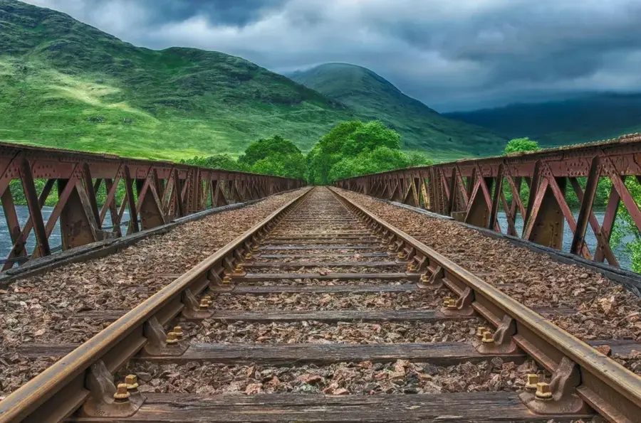
  • Key northern station on the Abidjan-Niger railway
  • Features massive, ancient baobab trees
  • Strategic logistics hub for trade with Burkina Faso

Explore nearby

Notable places around

Route planner — Car & Motorhome

Where do you start? We build the route here, with stops and country notes along the way.

Vehicle
Only stops with (optional):

© OpenStreetMap contributors · OpenRouteService

Sights nearby

Frequently asked questions

What is the center of the Ferké savanna?
The city of Ferkessédougou is the most important economic and cultural center.
What crops characterize the relief?
Large sugar cane plantations and cotton fields characterize the region's landscape.
When does the market in Ferkessédougou take place?
The main market day is usually Thursday, when traders from all over the region come.
Is the climate in Ferké very dry?
Yes, it is one of the driest regions in the country with a long arid-hot phase.
Can you travel from here to Mali?
Yes, Ferkessédougou is on the main route to the border with Mali and Burkina Faso.
Ferké Savanna: where is it located?
Ferké Savanna is located in Côte d’Ivoire.
Ferké Savanna: when is the best time to visit?
The most pleasant time to visit is Jan, Nov, Dec.
Ferké Savanna: why is it worth visiting?
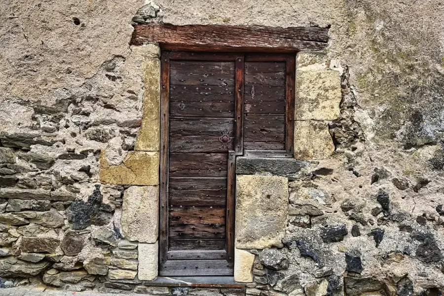
The Ferké Savanna, named after the city of Ferkessédougou, occupies the northernmost reaches of Ivory Coast within the extensive Sudanian zone.
View on map → The Top 50 Attractions → OpenStreetMap →
Africa
Explore with Plizio Discover more places in Africa
More places in Côte d’Ivoire →

History & landmarks

More places