Plizio Visual Lab
Buyo Dam

Weather…
Water temperature…
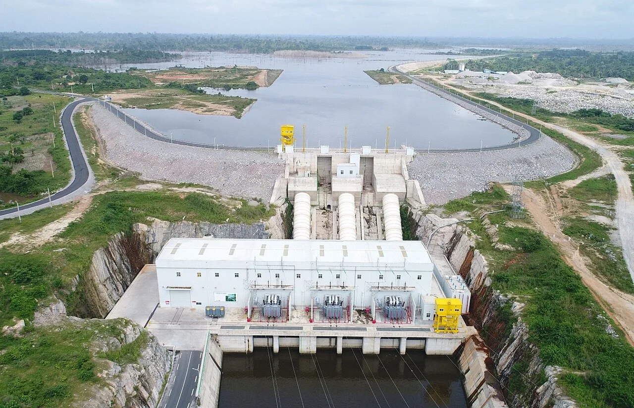
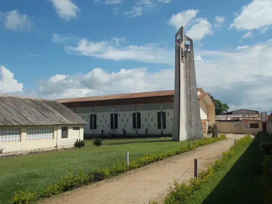
The Buyo Dam on the Sassandra River in western Ivory Coast was completed in 1980 and is another monument of the Ivorian dam program. It created Lake Buyo, covering large parts of the Nawa region and becoming an important center for inland fishing. With a capacity of 165 MW, Buyo contributes significantly to national power generation. Its location in the wetter west of the country ensures a relatively stable water flow of the Sassandra, making Buyo a reliable energy supplier. The construction of the dam also had impacts on the nearby Taï National Park, leading to the implementation of ecological monitoring programs. The reservoir is used extensively for transporting people and goods in the region and has sustainably changed the local economic structure.
- Location: Côte d’Ivoire
- Top sights: Buyo Department · Buyo, Ivory Coast
- Nearby: Issia (56 km)
Best time to visit & climate
The most pleasant time to visit is Jan, Feb, Dec.
| Jan | Feb | Mar | Apr | May | Jun | Jul | Aug | Sep | Oct | Nov | Dec | |
|---|---|---|---|---|---|---|---|---|---|---|---|---|
| Avg °C | 26 | 26 | 26 | 26 | 26 | 25 | 24 | 24 | 25 | 25 | 26 | 26 |
| Rain mm | 22 | 75 | 137 | 164 | 190 | 258 | 134 | 128 | 179 | 193 | 100 | 44 |
📋 Practical info
Geography
Facts
- Lake Buyo has an area of approximately 900 square kilometers.
- The dam has three turbines with 55 MW of power each.
- It is an important hub for regional trade on the lake.
- Buyo is part of the Sassandra cascade, upstream from Soubré.
- The facility was financed with support from the World Bank.
- Fishing in Lake Buyo is a major protein source for the region.
Explore nearby
Notable places around
Route planner — Car & Motorhome
Where do you start? We build the route here, with stops and country notes along the way.
© OpenStreetMap contributors · OpenRouteService
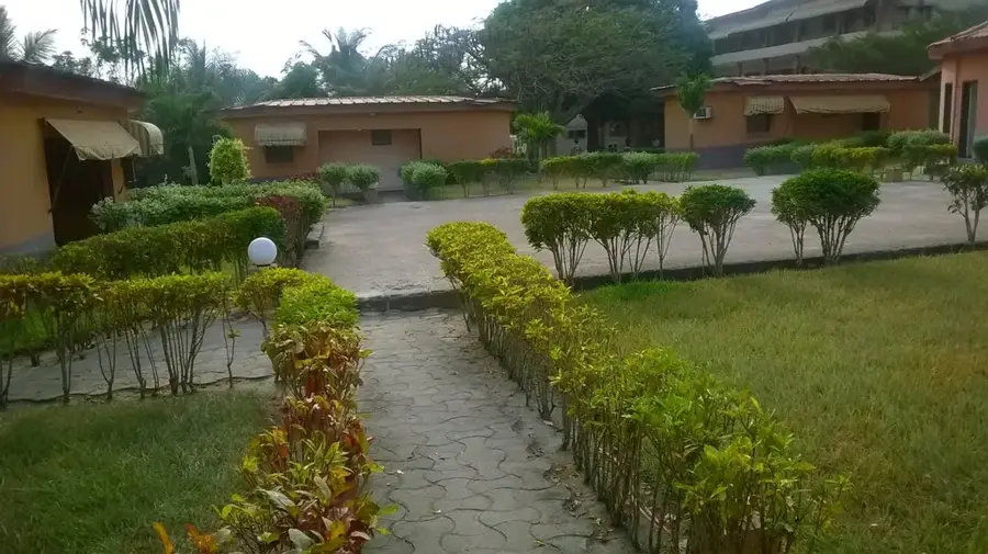
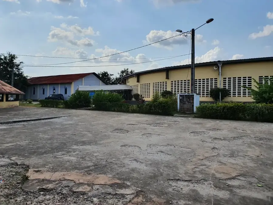
Sights in the town Buyo Dam (2)
Sights nearby
Frequently asked questions
Where is the Buyo Dam located?
What is the primary purpose of the dam?
Can you fish in Lake Buyo?
Which national park is nearby?
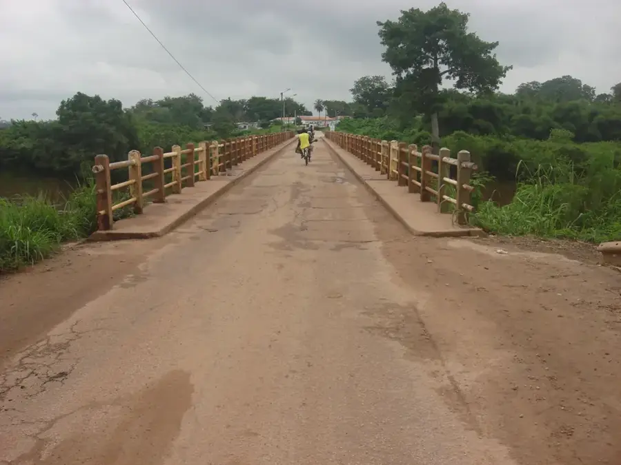
How is the road to the dam?
Buyo Dam: where is it located?
Buyo Dam: what is there to see?
Buyo Dam: when is the best time to visit?
Buyo Dam: why is it worth visiting?

Nearby cities
History & landmarks
More places