Plizio Visual Lab
Ouangolodougou

ℹ️Practical info — Ouangolodougou
▾
🌤 Weather — 5 days
📍 Nearby
Sights nearby
💡 Tips
- As a major transit hub, the town is bustling; keep your belongings secure around the busy bus and taxi stations.
- Be prepared for border checks if you are traveling further north; always have your passport and yellow fever certificate handy.
- The currency is West African CFA franc, but border towns often accept various currencies. It is best to stick to CFA for the best rates.
- Traffic consists heavily of freight trucks heading to Burkina Faso, so be cautious when walking along the main arteries.
🍽 Food
A staple dish made from corn or sorghum flour, often served with a savory okra or baobab leaf sauce at local roadside stops.
Attiéké (cassava couscous) with fried tuna, a quick and popular street food near the transit areas.
Try the spiced coffee served by street vendors early in the morning for a quick energy boost.
🛍 Shopping · 🧘 Quiet spots
A lively market where goods from Ivory Coast and Burkina Faso meet; great for spices and textiles.
Look for small shops along the main highway selling travel essentials and regional snacks.
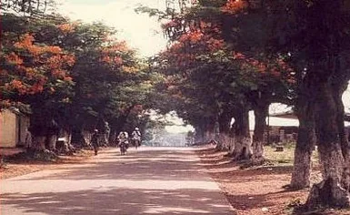
Walk a few streets away from the main highway to find residential calm and shaded trees.
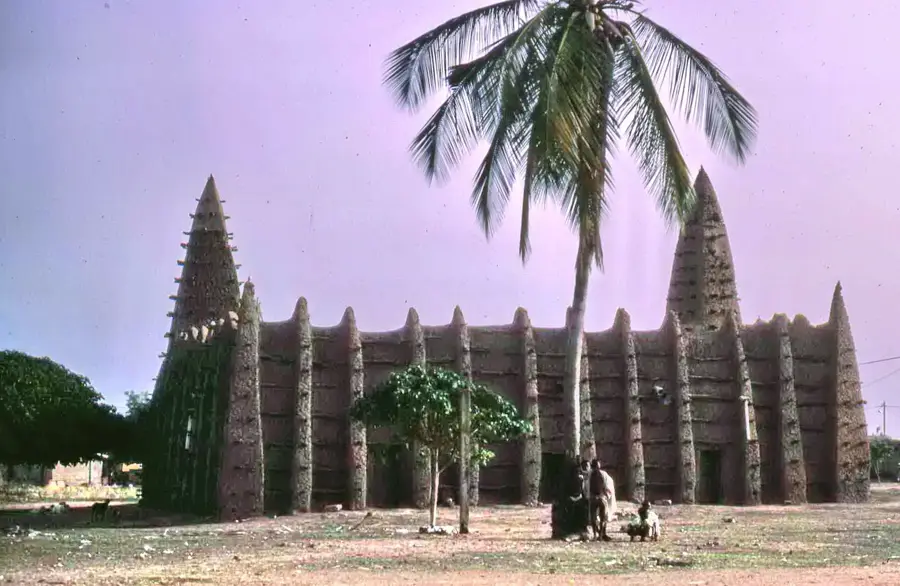
The areas around the town's mosques offer a quieter, contemplative atmosphere outside of prayer times.
Water temperature…
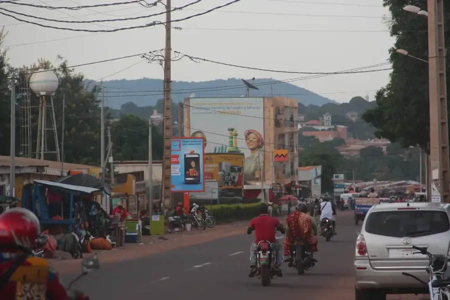
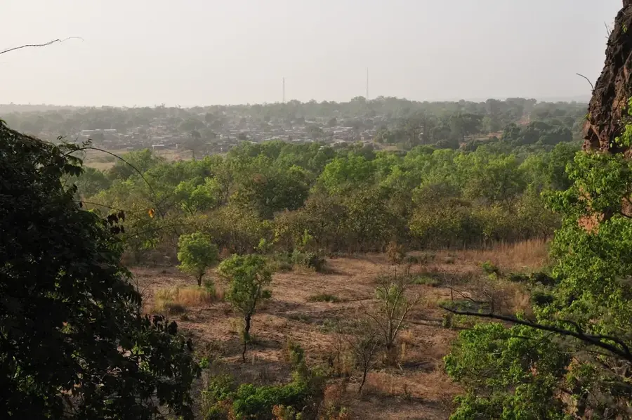
Ouangolodougou is a strategically vital border town located in the far north of Ivory Coast, directly adjacent to the frontier with Burkina Faso. As a major hub for international trade, the city serves as a gateway to the Sahel region, facilitated by its position on the Abidjan-Ouagadougou railway and the A3 highway. Situated in the Tchologo Region, it experiences a Sudano-Sahelian climate with a distinct dry season and high average temperatures. Historically, the settlement grew from a small village into a bustling commercial center where livestock trading and the exchange of agricultural goods predominate. The local population is ethnically diverse, with the Senoufo and Dioula peoples playing a central role in the social and economic fabric. Beyond transit services, the cultivation of cotton and cereals is a significant component of the regional economy. The city hosts important customs facilities and logistics centers that are indispensable for the flow of goods between Ivory Coast and its northern neighbors.
Explore on the map
How well do you know Côte d’Ivoire?
Find cities, landscapes and regions in 10 varied challenges on the interactive map.
Your journey, your memory
A postcard from Ouangolodougou
Turn your own photo into a personal postcard with a local stamp. Free and no sign-up required.
Create a postcard- Location: Côte d’Ivoire
- Nearby: Ferkessédougou (64 km)
- Population: ~49.248 (2023)
Best time to visit & climate
The most pleasant time to visit is Jan, Nov, Dec.
| Jan | Feb | Mar | Apr | May | Jun | Jul | Aug | Sep | Oct | Nov | Dec | |
|---|---|---|---|---|---|---|---|---|---|---|---|---|
| Avg °C | 25 | 28 | 30 | 30 | 29 | 27 | 26 | 25 | 26 | 27 | 27 | 25 |
| Rain mm | 3 | 12 | 31 | 70 | 106 | 143 | 204 | 243 | 203 | 93 | 13 | 1 |
Geography
Facts
- Located on the strategic Abidjan-Ouagadougou railway line.
- Primary border crossing point from Ivory Coast to Burkina Faso.
- Major center for regional cattle and sheep livestock trade.
- Situated within the administrative Tchologo Region.
- Features large logistics and customs depots for transit goods.
- Key junction on the A3 highway connecting the north.
Explore nearby
Notable places around
Route planner — Car & Motorhome
Where do you start? We build the route here, with stops and country notes along the way.
© OpenStreetMap contributors · OpenRouteService
Frequently asked questions
Is it a border town?
How is the atmosphere?
What can you buy here?
Are there hotels?
How is the weather?
Ouangolodougou: where is it located?
Ouangolodougou: when is the best time to visit?
Ouangolodougou: why is it worth visiting?

Nearby cities

History & landmarks

Nature
More places