Plizio Visual Lab
Port of La Gonâve
Weather…
Water temperature…
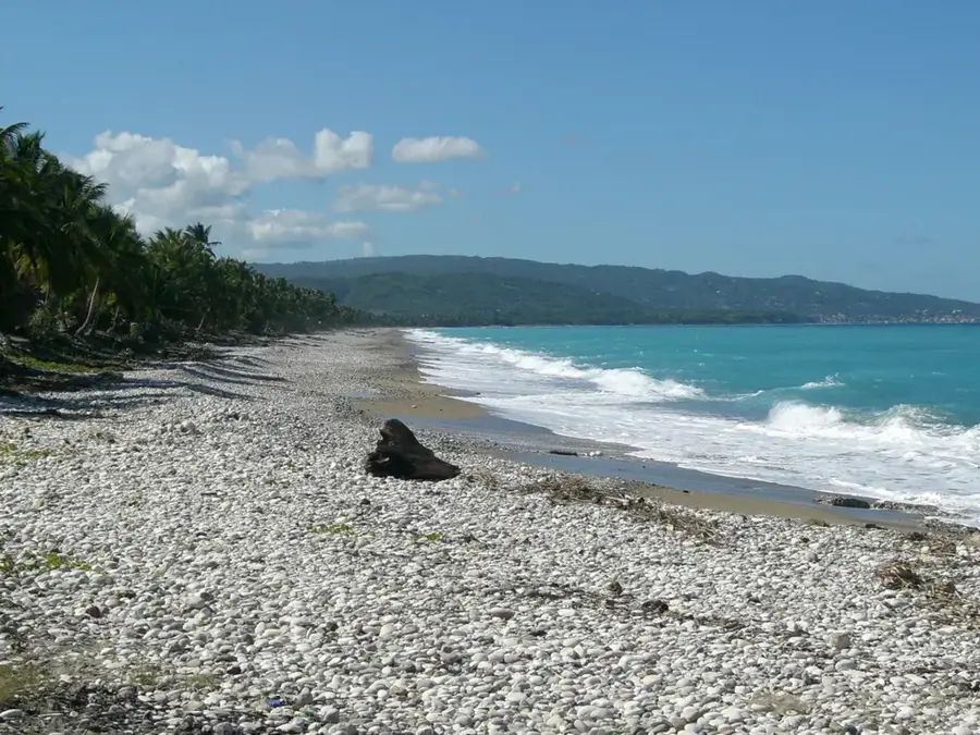
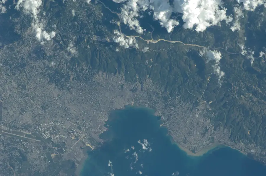
The Port of La Gonâve is the vital logistics link for Haiti's largest satellite island. Due to the island's isolation from the mainland, the port functions as the critical lifeline for importing essential resources, including potable water, processed food, and fuel. In return, it serves as the primary exit point for charcoal production, which remains a dominant source of cooking fuel for the capital city, Port-au-Prince. The local economy is also heavily dependent on artisanal fishing, with the port supporting a large fleet of traditional wooden boats. While maritime infrastructure remains basic, the port area is the central hub for all commercial activity on the island and the sole entry point for international aid and government administration.
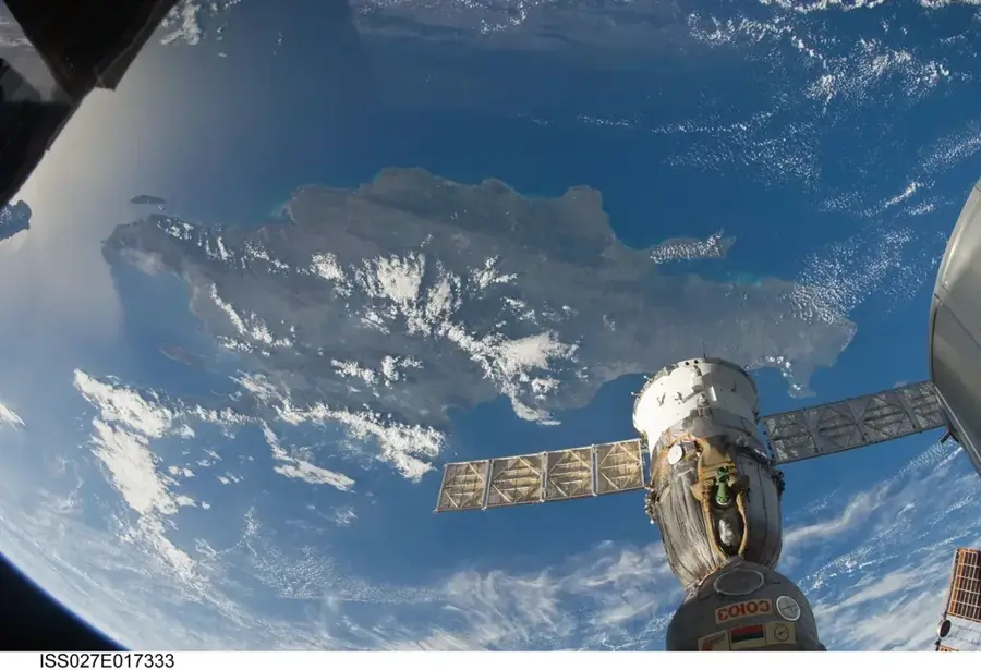
- Location: Haiti
- Nearby: Anse-à-Galets (La Gonâve) (21 km)
Best time to visit & climate
The most pleasant time to visit is Jan–Mar.
| Jan | Feb | Mar | Apr | May | Jun | Jul | Aug | Sep | Oct | Nov | Dec | |
|---|---|---|---|---|---|---|---|---|---|---|---|---|
| Avg °C | 27 | 27 | 27 | 28 | 28 | 29 | 30 | 30 | 30 | 29 | 28 | 27 |
| Rain mm | 28 | 18 | 25 | 32 | 63 | 49 | 38 | 58 | 62 | 98 | 70 | 33 |
📋 Practical info
Geography
Facts
- Main maritime gateway for Haiti's largest island, La Gonâve.
- Primary terminal for shipping charcoal to the mainland.
- Essential lifeline for the import of drinking water and food.
- Supports a massive fleet of traditional artisanal fishing vessels.
- Only entry point for government services and NGOs.
- Primary hub for ferry transport to Port-au-Prince and Arcahaie.
Explore nearby
Notable places around
Route planner — Car & Motorhome
Where do you start? We build the route here, with stops and country notes along the way.
© OpenStreetMap contributors · OpenRouteService
Sights nearby
Frequently asked questions
How do you get to the La Gonâve port?
What is the economic role of the port?
Is there a marina for tourists?
Can you rent boats locally?
When do the ferries depart?
Port of La Gonâve: where is it located?
Port of La Gonâve: when is the best time to visit?
Port of La Gonâve: why is it worth visiting?

More places