Plizio Visual Lab
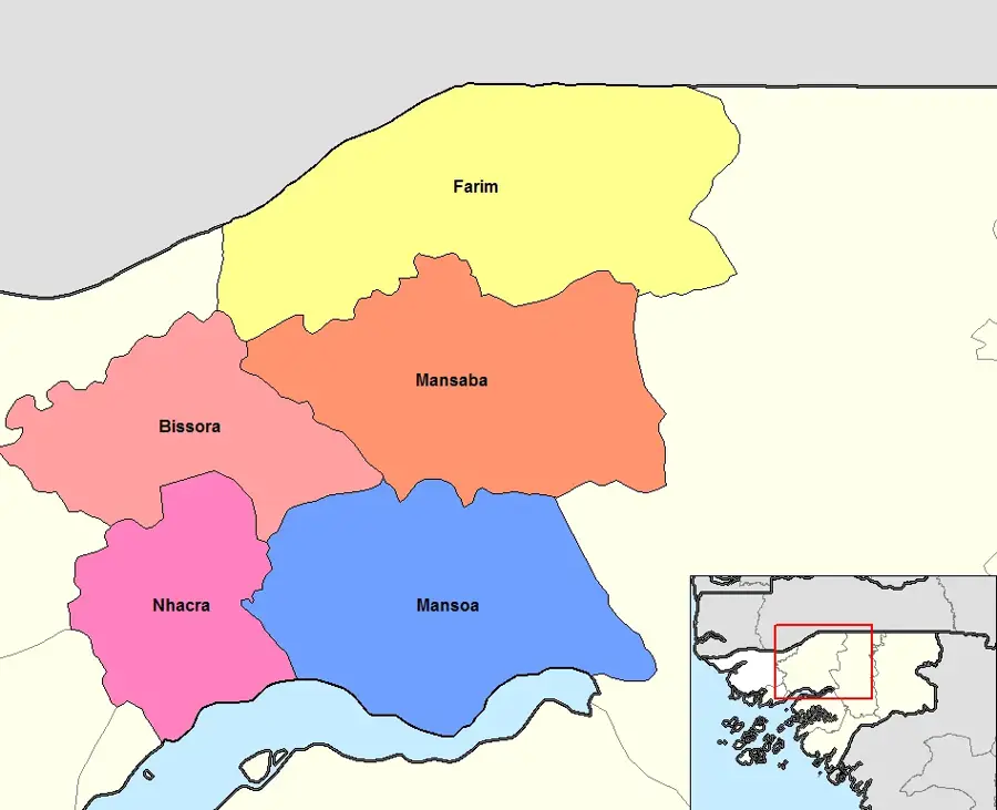
Farim Depression
Weather…
Water temperature…
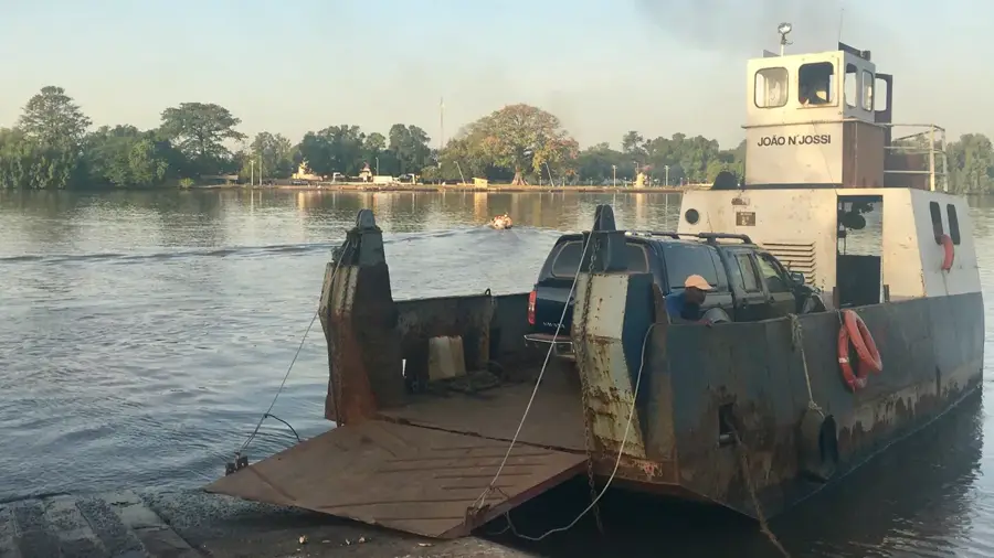
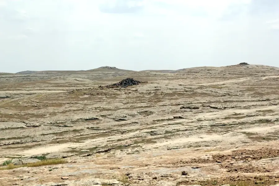
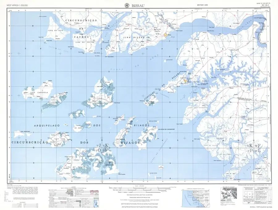
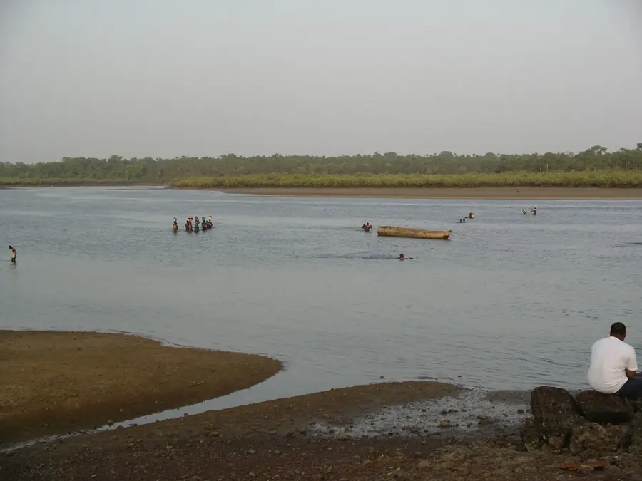
The Farim Depression in northern Guinea-Bissau is a significant hydro-geomorphological relief feature shaped by the Cacheu River basin. This depression represents a large-scale topographical basin stretching between the higher border regions with Senegal and the central plateaus. The relief is characterized by an extremely low gradient and wide, flat valley floors that transform into extensive wetlands during the rainy season. Geologically, the Farim Depression is of particular interest as it houses thick sedimentary deposits, including the world-class phosphate reserves of Farim. The topography facilitates the accumulation of mineral-rich soils, which are of high quality for agriculture, particularly groundnut and cereal cultivation. The Cacheu River meanders through the depression in wide loops, with tidal action penetrating deep into this relief and influencing the salinity of soils near the riverbanks. The Farim Depression acts as a natural catchment area for the surface drainage of the north and plays a vital role in the hydrological balance of the entire border region.
- Location: Guinea-Bissau
- Nearby: Olossato (26 km)
Best time to visit & climate
The most pleasant time to visit is Jan, Feb, Dec.
| Jan | Feb | Mar | Apr | May | Jun | Jul | Aug | Sep | Oct | Nov | Dec | |
|---|---|---|---|---|---|---|---|---|---|---|---|---|
| Avg °C | 23 | 26 | 28 | 31 | 31 | 29 | 27 | 26 | 26 | 27 | 26 | 23 |
| Rain mm | 1 | 0 | 0 | 0 | 21 | 139 | 325 | 420 | 303 | 123 | 8 | 0 |
📋 Practical info
Geography
Facts
- The depression hosts one of Africa's largest high-grade phosphate deposits.
- The relief sits partially at only 10 to 20 meters above sea level.
- Vast temporary lakes form within the basin during the monsoon season.
- The soil composition features highly productive alluvial clays.
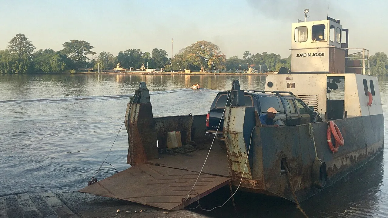
- The topography allows river navigation on the Cacheu far into the hinterland.
- Farim is the lowest point of the North Senegalese-Guinean sedimentary basin.
Explore nearby
Notable places around
Route planner — Car & Motorhome
Where do you start? We build the route here, with stops and country notes along the way.
© OpenStreetMap contributors · OpenRouteService
Sights in the town Farim Depression (1)
Sights nearby
Frequently asked questions
What is the Farim Depression?
Can you cross the river at Farim?
What characterizes the landscape of the depression?
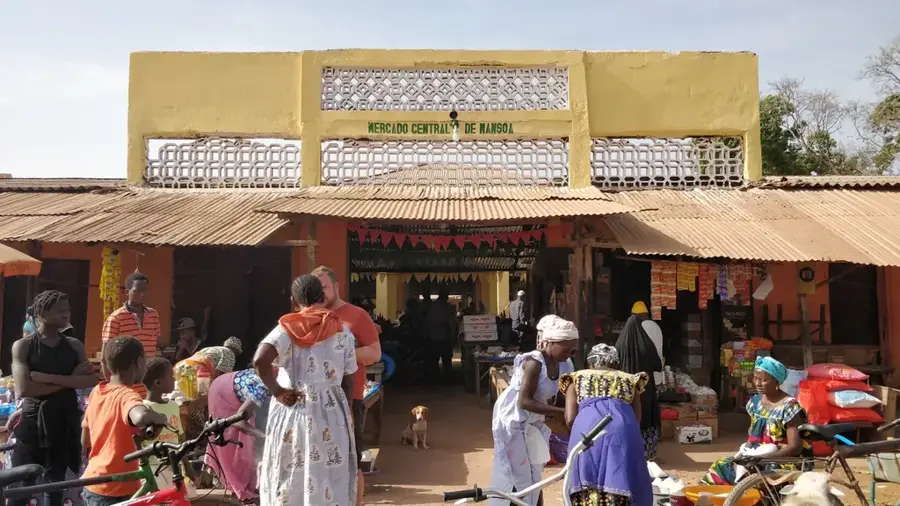
What role does Farim play in the economy?
Are there sights in the town of Farim?
Farim Depression: where is it located?
Farim Depression: when is the best time to visit?
Farim Depression: why is it worth visiting?

Nearby cities


Nature
More places