Plizio Visual Lab
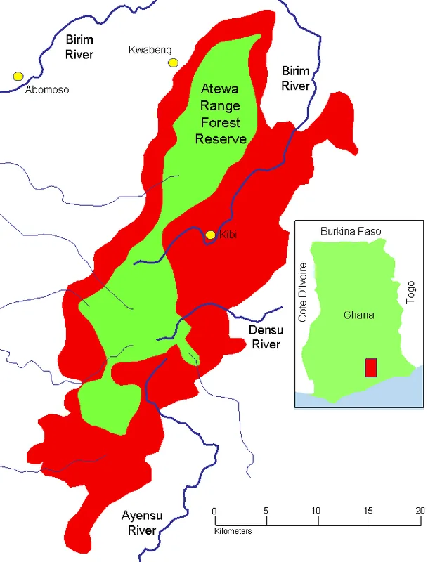
Akwapim-Togo Range
Weather…
Water temperature…
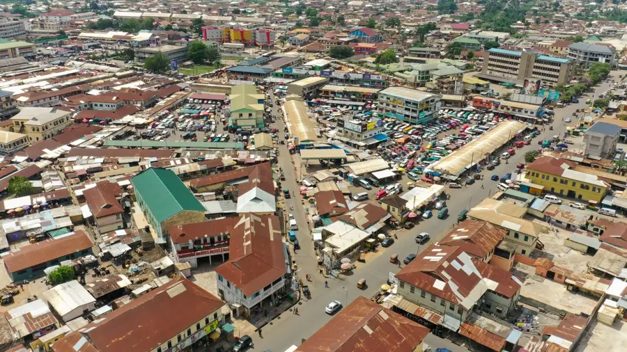
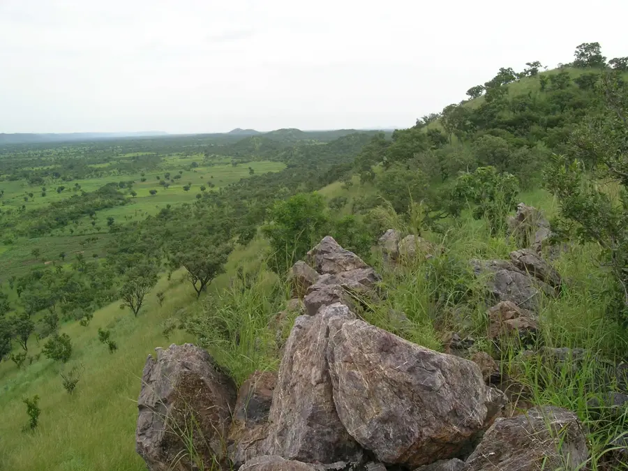
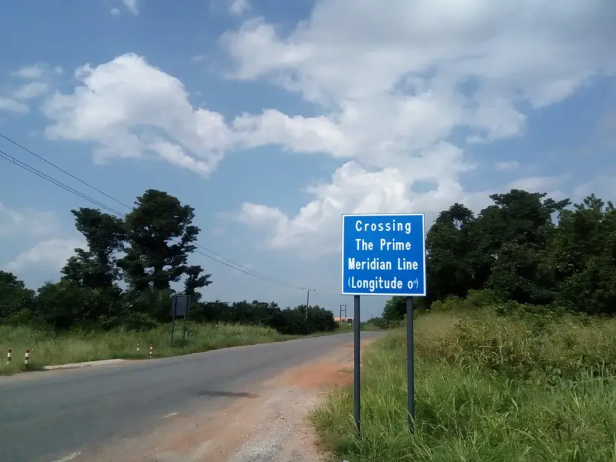
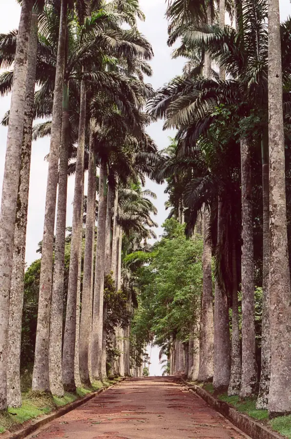
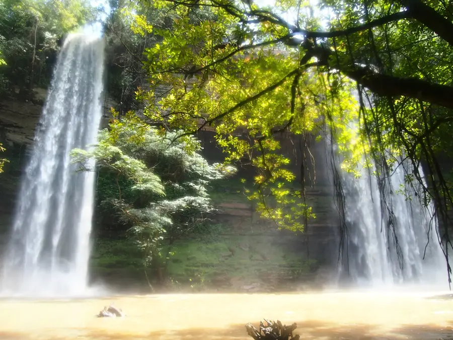
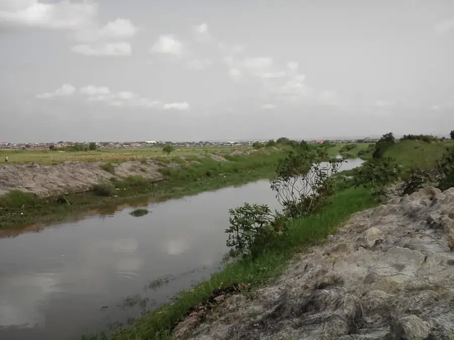
The Akwapim-Togo Range is a major mountain system stretching from southeastern Ghana northeastward through Togo and into Benin. In Ghana, the range begins just northeast of Accra and defines the local topography with its rolling hills and steep escarpments. Geologically, it is primarily composed of folded sedimentary rocks, such as quartzites and sandstones, which have been weathered over millions of years. The region is well-known for its relatively cool and pleasant climate, making it a historic retreat from the intense heat of the coastal plains. It hosts significant ecological landmarks, most notably the Aburi Botanical Gardens, which showcase a diverse collection of tropical flora. Culturally, the range is the ancestral home of the Akwapim people, whose traditional settlements and festivals are deeply integrated into the mountainous landscape. Economically, the fertile valleys within the range are vital for agriculture, supporting the production of cocoa, citrus fruits, and various other tropical crops.
- Location: Ghana
- Nearby: Somanya (13 km)
Best time to visit & climate
The most pleasant time to visit is Jan, Aug, Dec.
| Jan | Feb | Mar | Apr | May | Jun | Jul | Aug | Sep | Oct | Nov | Dec | |
|---|---|---|---|---|---|---|---|---|---|---|---|---|
| Avg °C | 28 | 28 | 28 | 27 | 27 | 25 | 25 | 24 | 25 | 26 | 27 | 27 |
| Rain mm | 18 | 38 | 93 | 115 | 159 | 182 | 118 | 68 | 141 | 158 | 56 | 18 |
📋 Practical info
Geography
Facts
- Highest peak in Ghana is Mount Afadja at 885 meters.
- The range spans a total length of nearly 1,000 kilometers.
- Primary rock types include quartzite, sandstone, and shale.
- Home to the Aburi Botanical Gardens, established in 1890.
- Forms a natural border between Ghana and Togo to the east.
- A key historical region for cocoa production in West Africa.
Explore nearby
Notable places around
Route planner — Car & Motorhome
Where do you start? We build the route here, with stops and country notes along the way.
© OpenStreetMap contributors · OpenRouteService
Sights in the town Akwapim-Togo Range (1)
Sights nearby
Frequently asked questions
Where does the Akwapim-Togo range start?
What is the best-known destination in these mountains?
What is the climate like up there?
Are there waterfalls there?
Are the roads good?
Akwapim-Togo Range: where is it located?
Akwapim-Togo Range: when is the best time to visit?
Akwapim-Togo Range: why is it worth visiting?

Nearby cities


History & landmarks
Nature
More places