Plizio Visual Lab
Teutoburg Forest
Weather…
Water temperature…
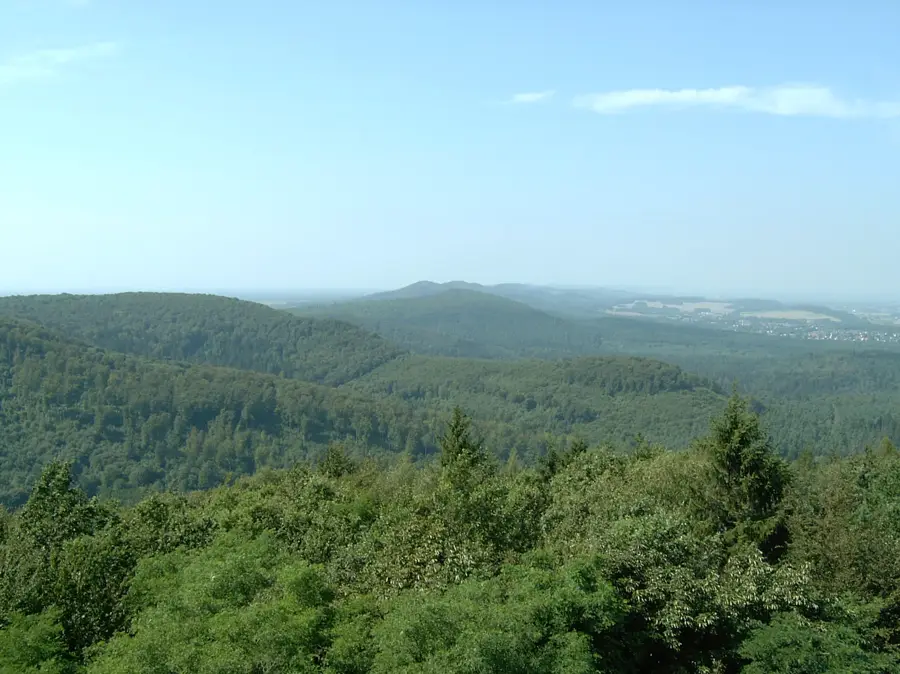
The Teutoburg Forest is a low mountain range reaching up to 446 meters in height, spanning the German states of Lower Saxony and North Rhine-Westphalia. It achieved worldwide fame as the likely site of the Battle of the Teutoburg Forest in 9 AD, where Germanic tribes led by Arminius decisively defeated three Roman legions. To commemorate this world-historical event, the monumental Hermannsdenkmal (Hermann Monument) was erected near Detmold in the 19th century and remains one of the region's most visited landmarks. Geologically, the range consists primarily of sandstone and limestone, providing the foundation for striking formations like the Externsteine. The range is almost entirely forested and features the Hermannsweg, one of Germany's most famous long-distance hiking trails, which runs along the ridge. Beyond its historical importance, the Teutoburg Forest is now a protected nature park that balances the preservation of rare ecosystems with sustainable tourism and modern forestry.
- Location: North Rhine-Westphalia, Germany
- Top sights: Alte Dorfkirche · Weidekoppel Senner Pferde · Schluchten und Moore am oberen Furlbach
- Nearby: Schloß Holte-Stukenbrock (9 km)
Best time to visit & climate
The most pleasant time to visit is Jun–Aug.
| Jan | Feb | Mar | Apr | May | Jun | Jul | Aug | Sep | Oct | Nov | Dec | |
|---|---|---|---|---|---|---|---|---|---|---|---|---|
| Avg °C | 1 | 1 | 4 | 9 | 13 | 16 | 18 | 18 | 14 | 10 | 5 | 2 |
| Rain mm | 80 | 58 | 56 | 44 | 66 | 69 | 78 | 74 | 59 | 63 | 71 | 78 |
📋 Practical info
Geography
Facts
- Highest point is the Barnacken at 446 meters
- Total length of the range is approx. 105 km
- Battle of Teutoburg Forest occurred in 9 AD
- Hermann Monument was inaugurated in 1875
- Hermannsweg hiking trail spans 156 kilometers
- Part of the Teutoburg Forest/Egge Hills Nature Park
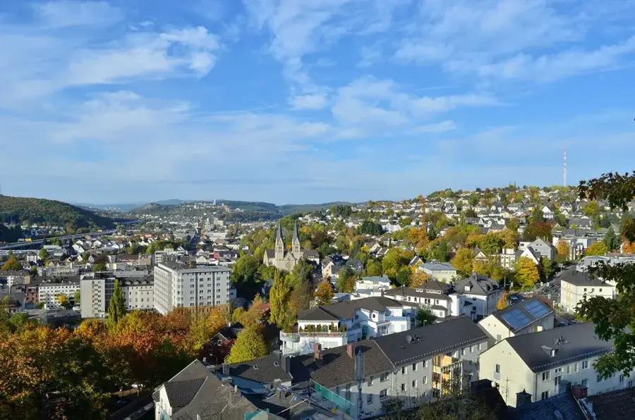
Explore nearby
Notable places around
Route planner — Car & Motorhome
Where do you start? We build the route here, with stops and country notes along the way.
© OpenStreetMap contributors · OpenRouteService
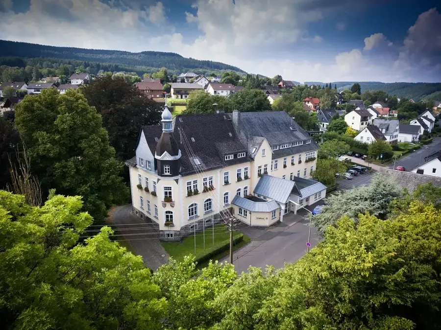
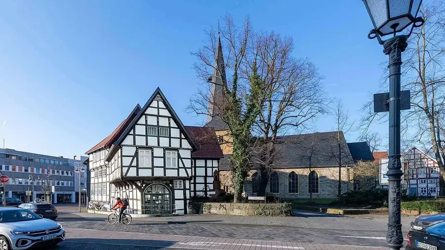
Sights in the town Teutoburg Forest (5)
Ruine Meierei Lopshorn
Ruins of a former dairy farm in the Teutoburg Forest.
Sights nearby
Frequently asked questions
What is the most famous monument in the forest?
Are the Externsteine rocks free to access?
Which long-distance hiking trail passes through here?
Are there offers for families?
When is the best time to visit?
Teutoburg Forest: where is it located?
Teutoburg Forest: what is there to see?
Teutoburg Forest: when is the best time to visit?
Teutoburg Forest: why is it worth visiting?

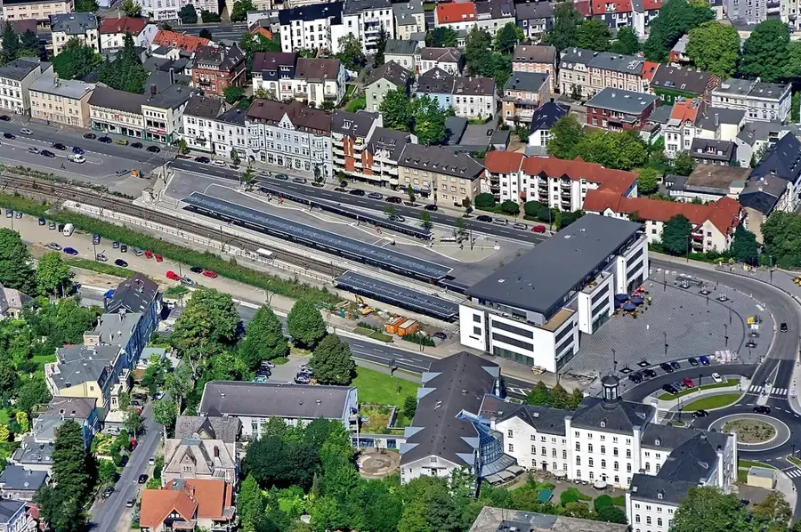
Nearby cities