Plizio Visual Lab
Taunus
Weather…
Water temperature…
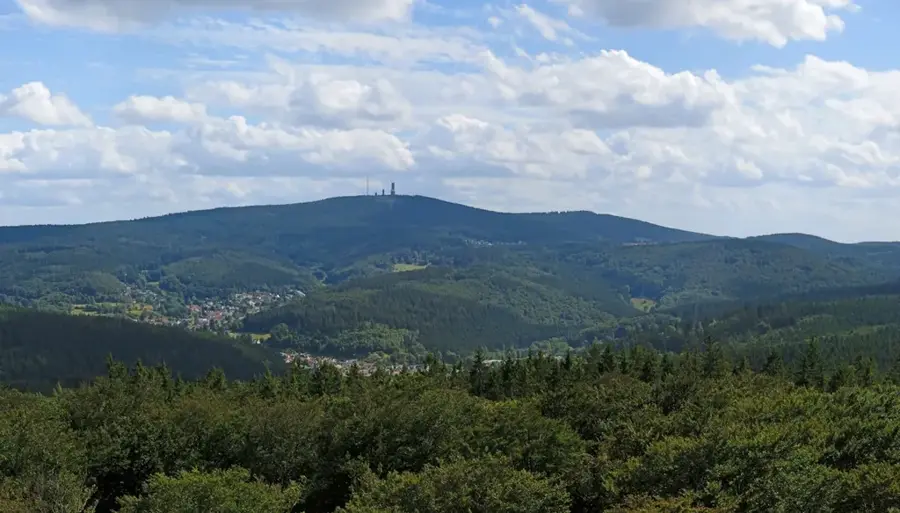
The Taunus is a low mountain range spanning the German states of Hesse and Rhineland-Palatinate, forming the southeastern part of the Rhenish Massif. Its highest peak is the Großer Feldberg, reaching an elevation of 881 meters above sea level and serving as a prominent regional landmark. Historically, the Taunus was integrated into the Roman Limes border fortification, the remains of which, including the reconstructed Saalburg fort, are now designated as a UNESCO World Heritage site. The region is renowned for its numerous thermal springs and spa towns, notably Bad Homburg vor der Höhe and Wiesbaden, the state capital of Hesse. Geologically, the range is composed mainly of slate, quartzite, and sandstone formed during the Variscan orogeny. The Taunus Nature Park encompasses extensive forested areas, providing significant recreational opportunities for the neighboring Rhine-Main metropolitan area. During the Middle Ages, the Taunus served as a borderland between various territories, evidenced by the high density of castle ruins like Königstein and Kronberg. Today, the area is a vital economic hub and a sought-after residential location known for its high quality of life.
- Location: Hesse, Germany
- Top sights: Limes · Feldbergborn · Großer Feldberg
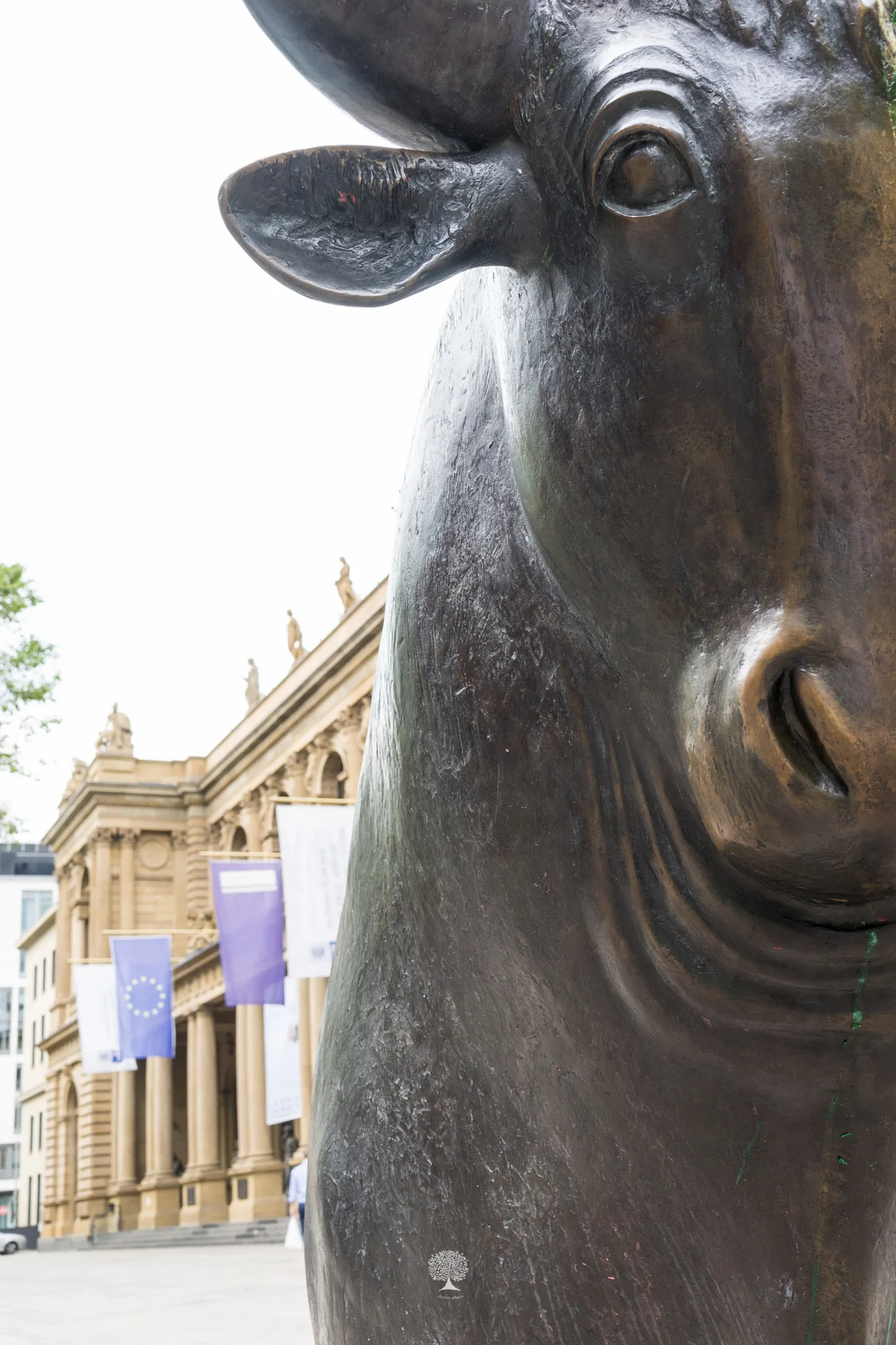
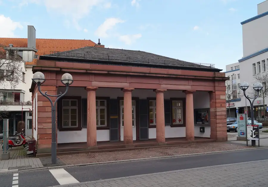
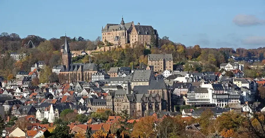
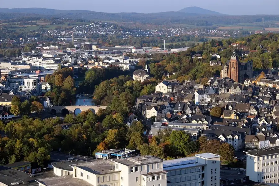
- Nearby: Königstein im Taunus (6 km)
Best time to visit & climate
The most pleasant time to visit is Jun–Aug.
| Jan | Feb | Mar | Apr | May | Jun | Jul | Aug | Sep | Oct | Nov | Dec | |
|---|---|---|---|---|---|---|---|---|---|---|---|---|
| Avg °C | 0 | 1 | 5 | 10 | 14 | 19 | 21 | 20 | 16 | 10 | 5 | 1 |
| Rain mm | 57 | 46 | 47 | 41 | 71 | 59 | 66 | 65 | 46 | 54 | 56 | 64 |
📋 Practical info
Geography
Facts
- The Großer Feldberg is the highest elevation in the Taunus at 881 meters.
- Saalburg Fort is the only completely reconstructed Roman Limes fort in the world.
- Geologically, the Taunus is part of the Rhenish Massif and is about 300 million years old.
- The Upper Germanic-Rhaetian Limes runs for 75 kilometers through the mountain range.
- Wiesbaden, on the southern slope of the Taunus, features 26 hot thermal springs.
- The region was used by the Romans for salt production as early as 40 AD.
Explore nearby
Notable places around
Route planner — Car & Motorhome
Where do you start? We build the route here, with stops and country notes along the way.
© OpenStreetMap contributors · OpenRouteService
Sights in the town Taunus (10)
Feldbergborn
Spring in the Taunus, rising on the Großer Feldberg. A popular destination for hikers.
Großer Feldberg
Highest mountain in the Taunus (879 m). Has views and is a popular excursion destination.
Feldberg/Taunus transmitter🗼 tower
Transmission tower for TV and directional radio north of Frankfurt. A landmark of the region.
Nordbahnblick
Viewpoint on the Großer Feldberg with a view north over the Taunus.
Brunhildisfelsen
Rock formation on the Großer Feldberg. Features a wide view of the landscape.
Falkenhof Großer Feldberg
Bird of prey center on the Großer Feldberg. Flight demonstrations and falconry information.
Aussichtsturm Großer Feldberg
Observation tower on the Großer Feldberg. Panoramic view of the Taunus and Rhine-Main plain.
Klettergarten
Climbing garden on the Großer Feldberg. Climbing routes for various difficulty levels.
Römisches Bad
Remains of a Roman bath in the Taunus. Evidence of Roman settlement.
Sights nearby
Frequently asked questions
Which is the highest mountain in the Taunus?
Can I experience Roman history in the Taunus?
How do I reach the Taunus from Frankfurt?
Are there skiing opportunities in winter?
What is Taunus-Wunderland?
Taunus: where is it located?
Taunus: what is there to see?
Taunus: when is the best time to visit?
Taunus: why is it worth visiting?

Nearby cities