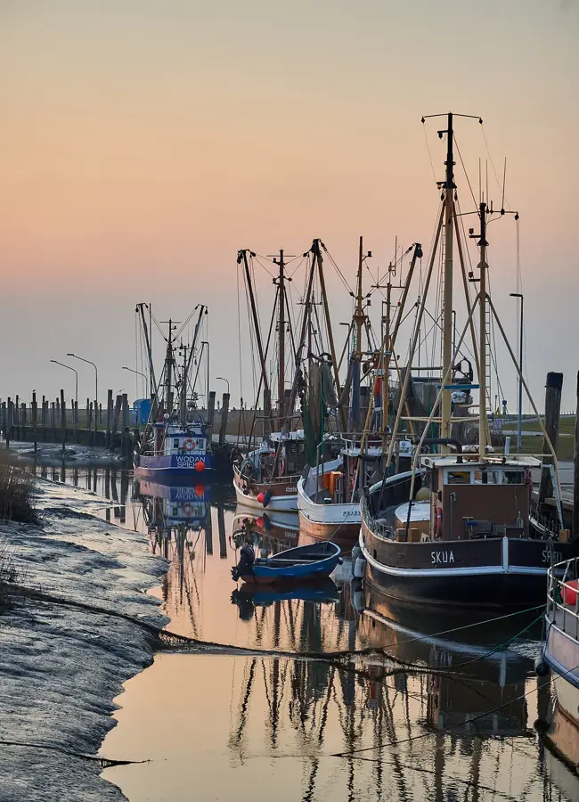
LOUKEMAN live at LARK
Experience the pulsing electronic beats of LOUKEMAN in Berlin's trendy LARK venue.
Plizio Visual Lab
Weather…
Water temperature…
Experience the pulsing electronic beats of LOUKEMAN in Berlin's trendy LARK venue.
Exclusive collaboration brews from leading breweries in a unique atmosphere on the Spree.
The grand finale of the Brews Cruise series featuring the best beers and an all-night party.
German brewing art between the classic purity law and modern craft experiments.
A European beer journey featuring Störtebeker, BRLO, and friends on Berlin's waterways.
Discover American craft beer specialties during a relaxing boat cruise through Berlin.
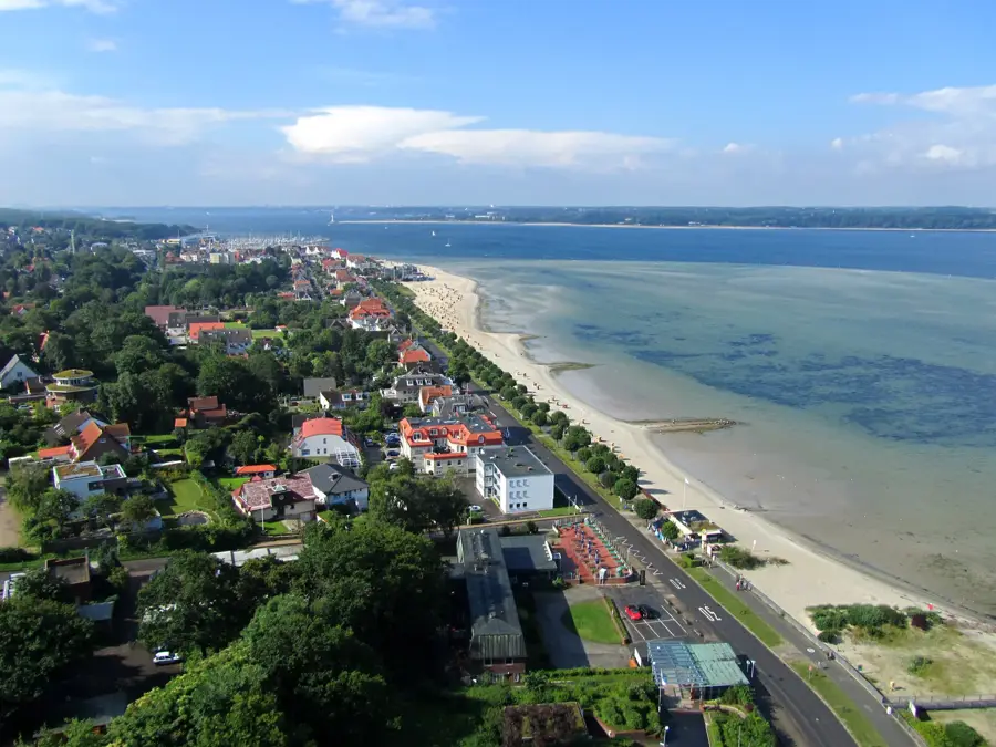
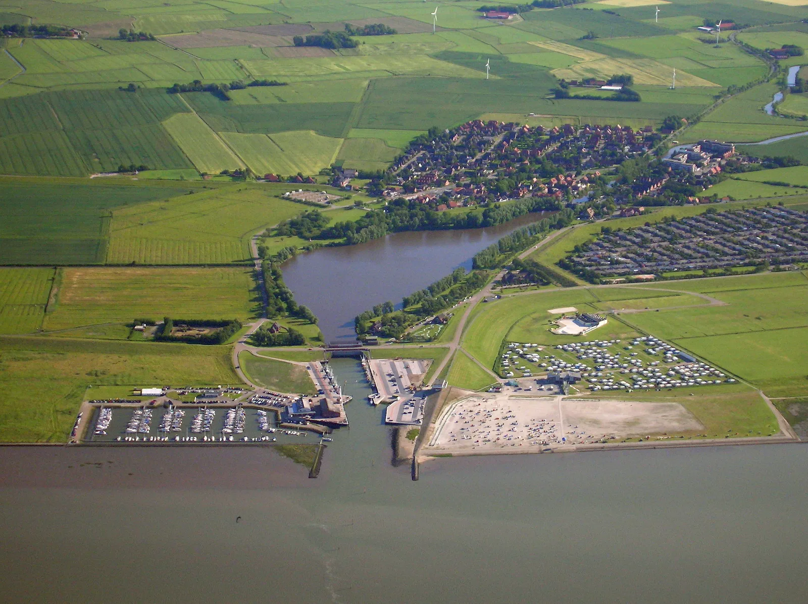
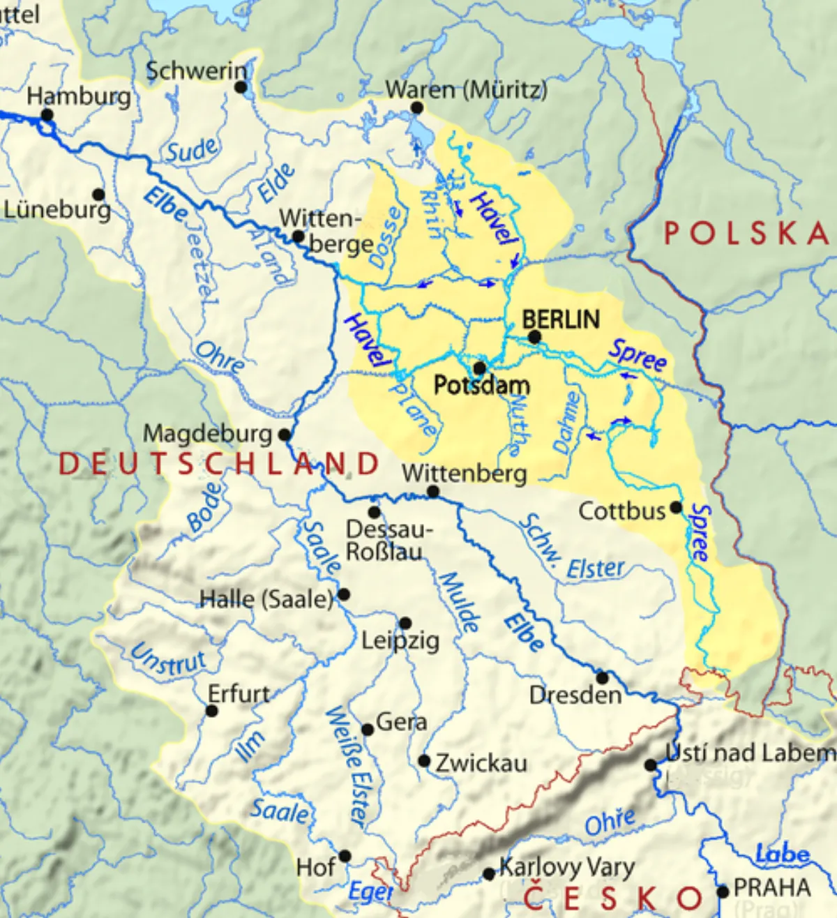
The Spree, extending approximately 400 kilometers, is the primary tributary of the Havel and the central flowing waterway of Germany's capital, Berlin. It rises in Upper Lusatia in the state of Saxony from three distinct sources and flows northwest through the Spreewald and numerous lakes. Its drainage basin spans about 10,000 square kilometers and is ecologically defined by the UNESCO Spreewald Biosphere Reserve, a unique inland delta featuring a labyrinth of over 300 kilometers of waterways. Historically, the Spree was the heart of the twin city Berlin-Cölln and served for centuries as a vital transport link for building materials and food supplies from the surrounding countryside. In Berlin, the river flows through the historical center, passing Museum Island and the government district before joining the Havel in Spandau. Today, the Spree is not only a key federal waterway but also a defining feature of the Berlin cityscape and a hub for urban life, culture, and tourism. In recent years, extensive cleanup measures have significantly improved the river's water quality, restoring the Spree as a valuable habitat for local flora and fauna.
The most pleasant time to visit is Jun–Aug.
| Jan | Feb | Mar | Apr | May | Jun | Jul | Aug | Sep | Oct | Nov | Dec | |
|---|---|---|---|---|---|---|---|---|---|---|---|---|
| Avg °C | -1 | 0 | 4 | 9 | 14 | 18 | 21 | 20 | 15 | 10 | 5 | 1 |
| Rain mm | 53 | 38 | 41 | 29 | 53 | 57 | 81 | 58 | 48 | 48 | 50 | 47 |
Notable places around
Where do you start? We build the route here, with stops and country notes along the way.
© OpenStreetMap contributors · OpenRouteService
Culterim Spaces is a gallery in Berlin for contemporary art.
Saint Mary's Church is a church in Berlin, near Alexanderplatz.
Red City Hall is the city hall of Berlin, a historic building on Alexanderplatz.
Klosterruine Berlin is a gallery located in the ruins of a Franciscan monastery.
Ruine der Franziskaner-Klosterkirche is a church ruin in Berlin.
nGbK in Berlin is a centre for contemporary art and discourse.