Plizio Visual Lab
Isar
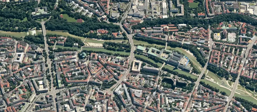
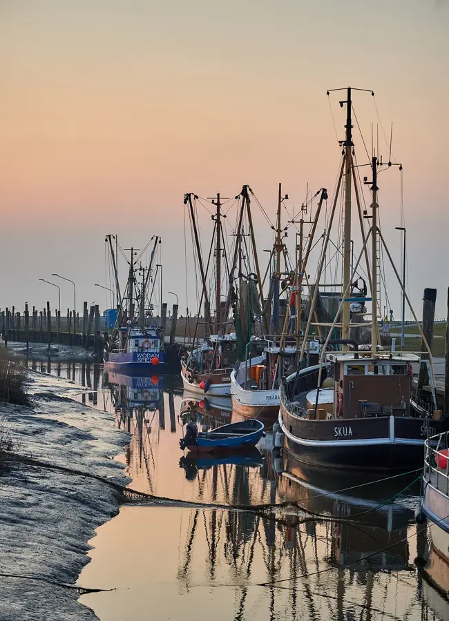
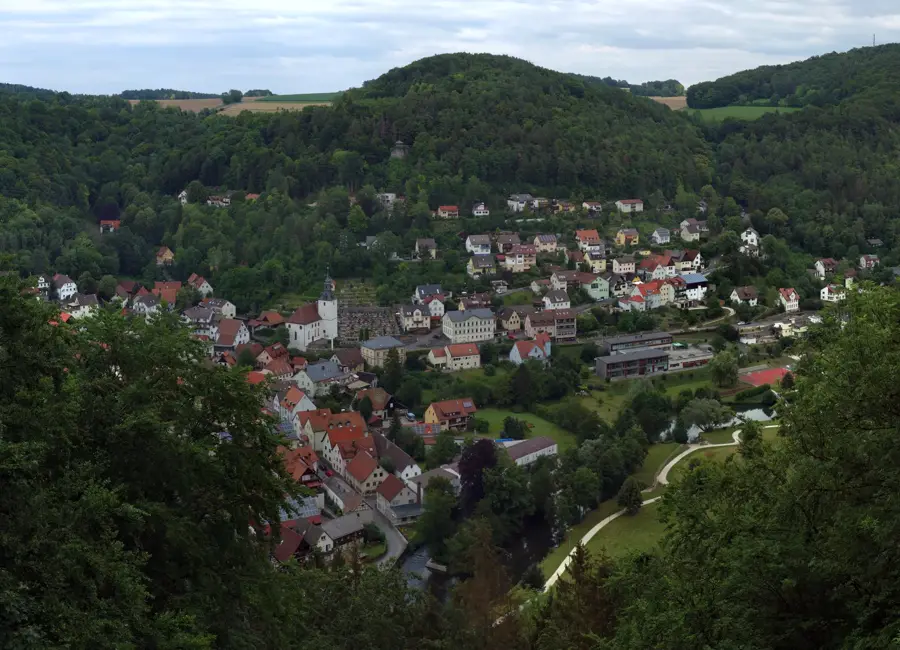
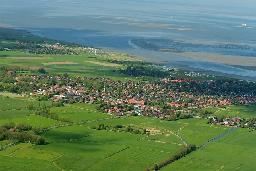
The Isar, stretching 295 kilometers, is one of Bavaria's most vital alpine rivers and the fourth-largest German tributary of the Danube. It rises in the Karwendel Mountains in Tyrol, Austria, at an elevation of 1,160 meters, flowing northeast through Upper and Lower Bavaria after crossing the border. Its drainage basin covers approximately 9,000 square kilometers and is ecologically characterized by alpine wild-river landscapes and vast gravel plains. The river is inextricably linked to the history and cultural identity of Munich, which it traverses for nearly 14 kilometers. Historically, the Isar was a crucial transport route for salt and timber as early as the Middle Ages, with timber rafting playing a central economic role until the 19th century. In recent decades, the 'Isar-Plan' project implemented extensive renaturalization within Munich's city limits, enhancing flood protection and creating new recreational spaces. Today, the Isar supports sustainable energy production through numerous hydroelectric power plants while serving as a critical sanctuary for endangered fish and bird species.
- Location: Germany
- Top sights: Kunstfoyer Versicherungskammer Kulturstiftung · Kreativwerkstatt · Pumuckl Ampel
- Nearby: Haar (11 km)
Best time to visit & climate
The most pleasant time to visit is Jun–Aug.
| Jan | Feb | Mar | Apr | May | Jun | Jul | Aug | Sep | Oct | Nov | Dec | |
|---|---|---|---|---|---|---|---|---|---|---|---|---|
| Avg °C | -1 | 0 | 4 | 8 | 13 | 17 | 18 | 18 | 13 | 9 | 4 | 0 |
| Rain mm | 76 | 59 | 69 | 68 | 123 | 137 | 134 | 139 | 92 | 77 | 62 | 67 |
📋 Practical info
Geography
Facts
- Length: 295 kilometers from its Tyrolean source to the mouth.
- Basin Area: The Isar hydrological system covers 8,964 square kilometers.
- Source Elevation: It begins at 1,160 meters in the Karwendel Mountains.
- Mouth: The river joins the Danube near Deggendorf at 312 meters elevation.
- Restoration: The Isar-Plan restored 8 km of natural riverbed in Munich.
- Hydropower: More than 30 power plants are located along the Isar's course.
Explore nearby
Notable places around
Route planner — Car & Motorhome
Where do you start? We build the route here, with stops and country notes along the way.
© OpenStreetMap contributors · OpenRouteService
Sights in the town Isar (10)
Christine Mayer
Art centre in Munich, studio and exhibition space for contemporary art.
Sankt-Anna-Pfarrkirche
Parish church in Munich, place of worship for the Catholic community.
GOP Theater und Varieté
Theatre and variety show in Munich, featuring acrobatics, comedy, and music.
Galerie Tanit
Gallery in Munich, specializing in contemporary art.
Galerie von Miller
Gallery in Munich, with exhibitions of modern art.
Schwindinsel🌳 park
Island in Munich, a park with green spaces and trees.
Franziskanerkloster München⛪ monastery
Monastery in Munich, seat of the Franciscans in the city.
Sights nearby
Frequently asked questions
Where does the Isar rise?
Can you swim in the Isar in Munich?
How long is the Isar?
Where does the Isar flow into?
Is there a cycle path along the Isar?
Isar: where is it located?
Isar: what is there to see?
Isar: when is the best time to visit?
Isar: why is it worth visiting?

Nearby cities