Plizio Visual Lab
Danube Sinkhole
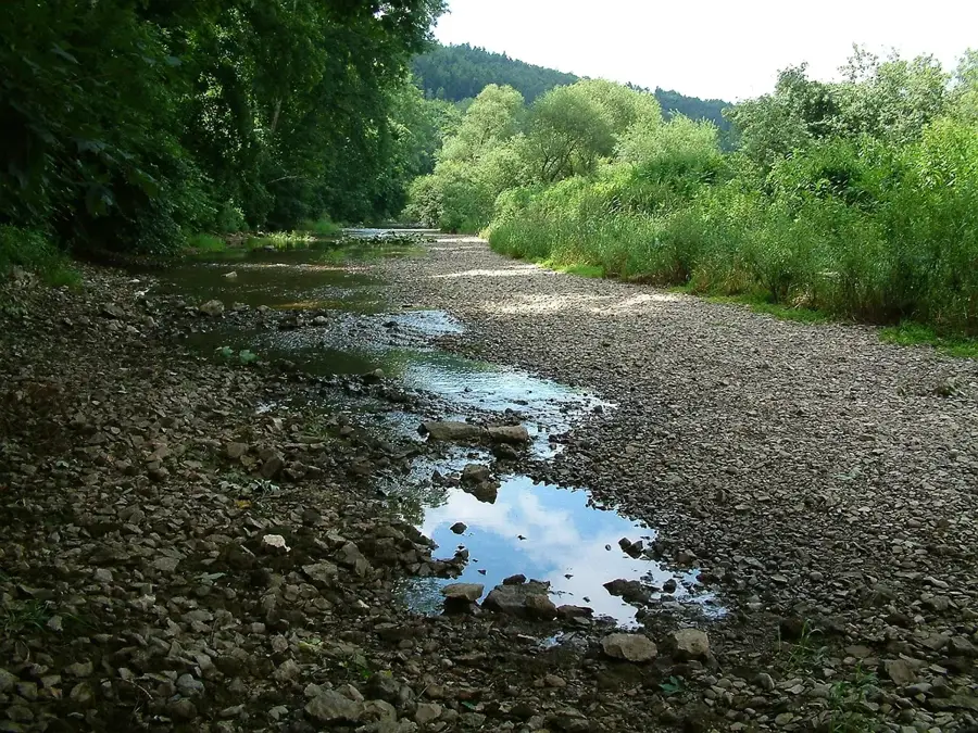
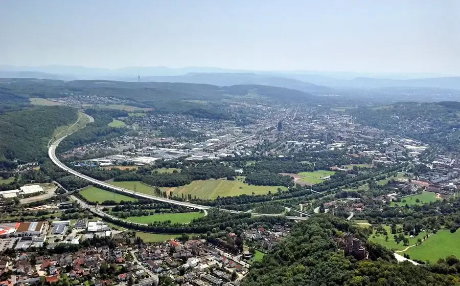
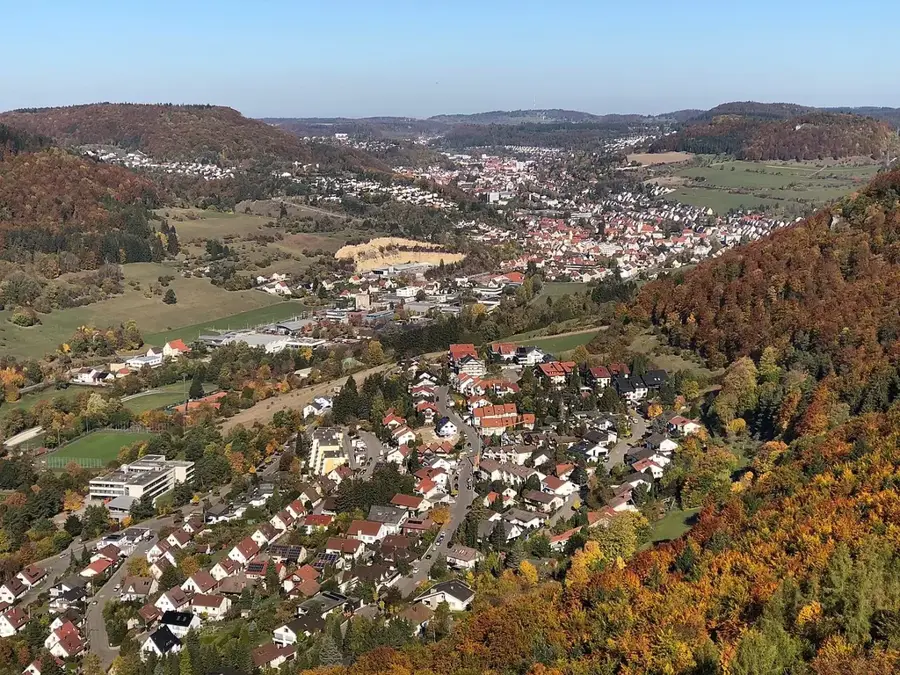
The Danube Sinkhole (Donauversickerung) is a globally significant geological phenomenon in the Upper Danube Nature Park in Baden-Württemberg. Between the towns of Immendingen and Möhringen, the water of the young Danube disappears completely for about 150 to 200 days a year into fissures and crevices of the karstified Jurassic limestone. Underground, the water carves its way through a branching cave system over a straight-line distance of about twelve kilometers before resurfacing at the Aachtopf, Germany's most powerful karst spring. From there, it flows via the Radolfzeller Aach into Lake Constance and thus into the Rhine, representing a spectacular hydrological connection between the Danube and Rhine river systems. During full seepage, the riverbed of the Danube lies completely dry for kilometers, allowing hikers to walk on the stony ground. This phenomenon is a striking example of the ongoing 'capture' of the Danube by the Rhine system, which could eventually lead to the upper course of the Danube draining permanently into the Rhine.
- Location: Baden-Württemberg, Germany
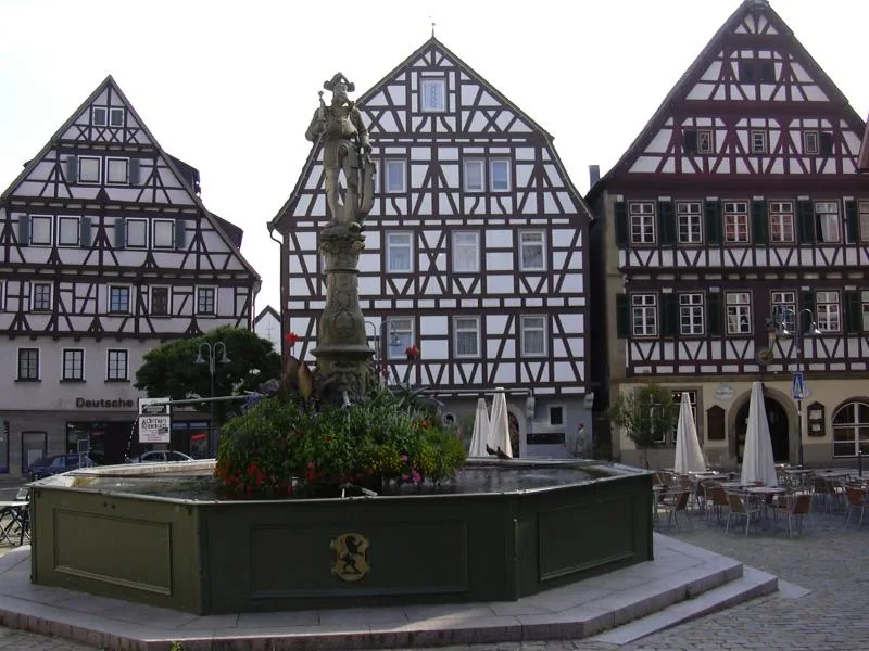
- Top sights: Donauversinkung · Unteres Schloss · St. Theopont und Synesius
- Nearby: Tuttlingen (8 km)
Best time to visit & climate
The most pleasant time to visit is Jun–Aug.
| Jan | Feb | Mar | Apr | May | Jun | Jul | Aug | Sep | Oct | Nov | Dec | |
|---|---|---|---|---|---|---|---|---|---|---|---|---|
| Avg °C | -2 | -1 | 3 | 8 | 12 | 16 | 18 | 17 | 13 | 9 | 3 | -1 |
| Rain mm | 68 | 54 | 66 | 67 | 109 | 108 | 109 | 106 | 76 | 80 | 68 | 77 |
📋 Practical info
Geography
Facts
- The Danube seeps away completely for approximately 150 to 200 days a year.
- The water resurfaces at the Aachtopf after a 12 km underground journey.
- The phenomenon was first scientifically documented in 1874.
- Hydrologically, the water switches here from the Danube to the Rhine system.
- During dry periods, hikers can walk directly on the stony riverbed.
- Geologically, this is an example of stream capture through karstification.
Explore nearby
Notable places around
Route planner — Car & Motorhome
Where do you start? We build the route here, with stops and country notes along the way.
© OpenStreetMap contributors · OpenRouteService
Sights in the town Danube Sinkhole (10)
ForstBW Arboretum Höwenegg
Arboretum on the Höwenegg hill. Planted with various tree species, it is a place for walks.
Pfarrkirche St. Peter und Paul
Church building in Baden-Württemberg. The parish church is dedicated to Saints Peter and Paul.
Oberes Schloss🏰 castle
Building in Immendingen, Freiburg region. The Upper Castle is a historic structure in the town.
Höwenegg
Nature reserve in Baden-Württemberg. It protects the landscape and habitats of the Höwenegg area.
St. Jakobus und Johannes
Church building in Immendingen, Baden-Württemberg. It is dedicated to Saints James and John.
Burgstall Immendingen
Deserted castle site in Immendingen. The exact location is only traceable through archaeology.
Sights nearby
Frequently asked questions
When is the best time to see the Danube sinkhole?
Where does the water actually go?
Is there an entrance fee?
Where can I park for the hike?
Can you walk in the dry riverbed?
Danube Sinkhole: where is it located?
Danube Sinkhole: what is there to see?
Danube Sinkhole: when is the best time to visit?
Danube Sinkhole: why is it worth visiting?

Nearby cities