Plizio Visual Lab
Lubombo Plateau

Weather…
Water temperature…
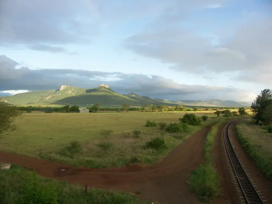
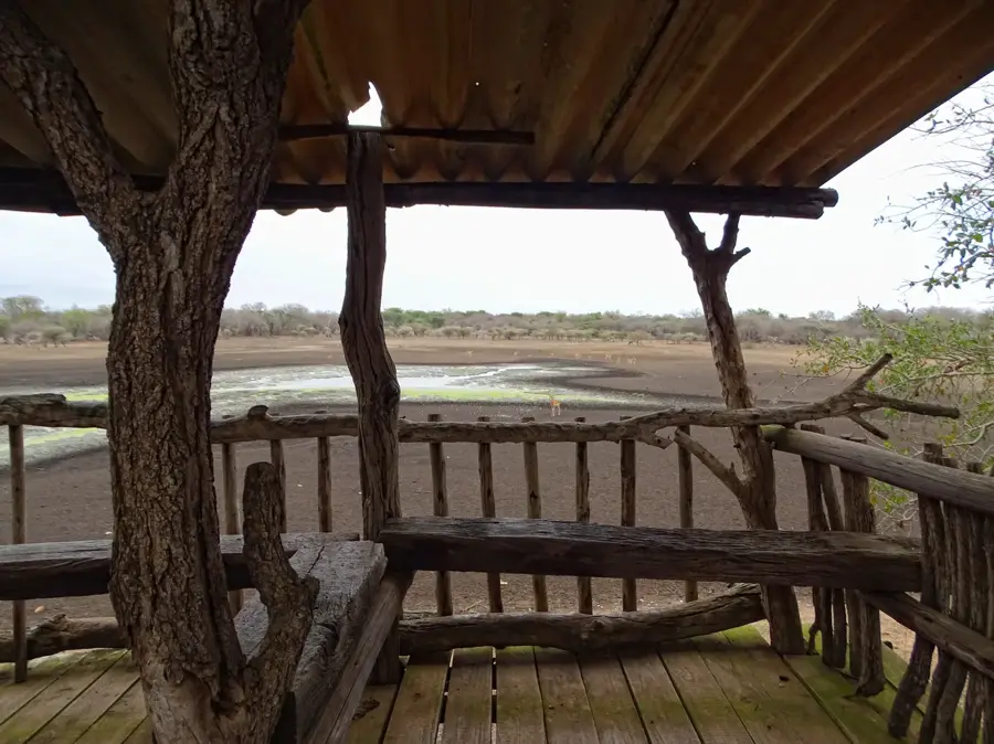
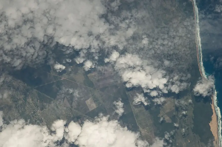
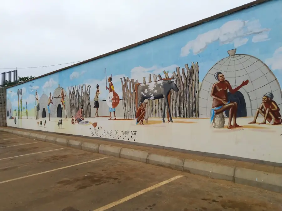
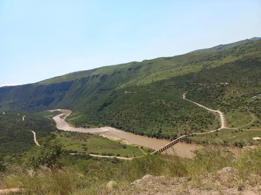
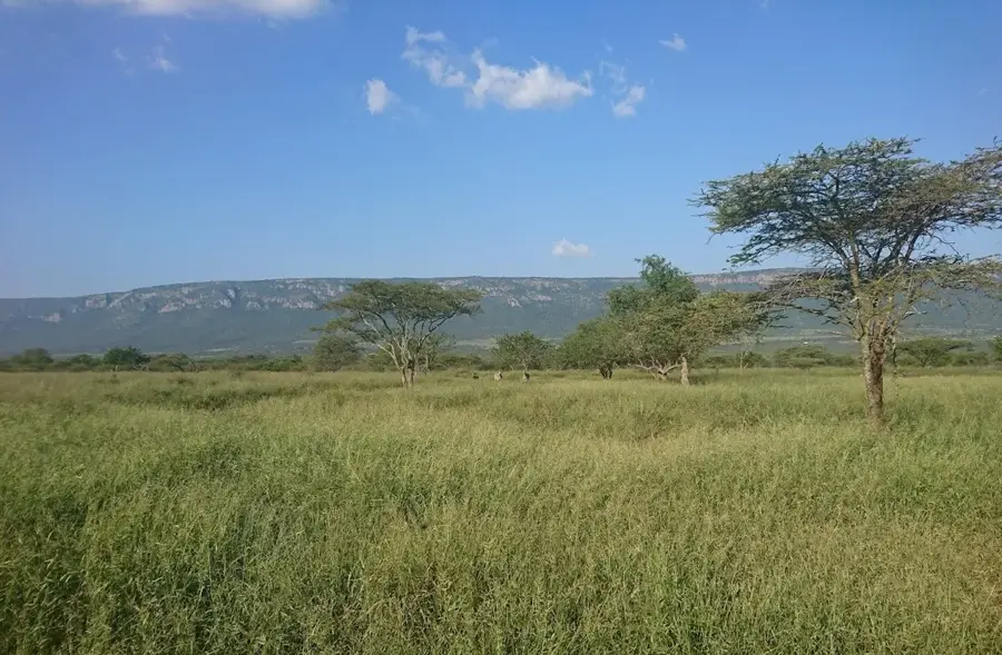
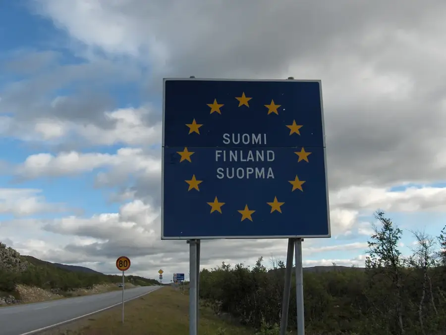
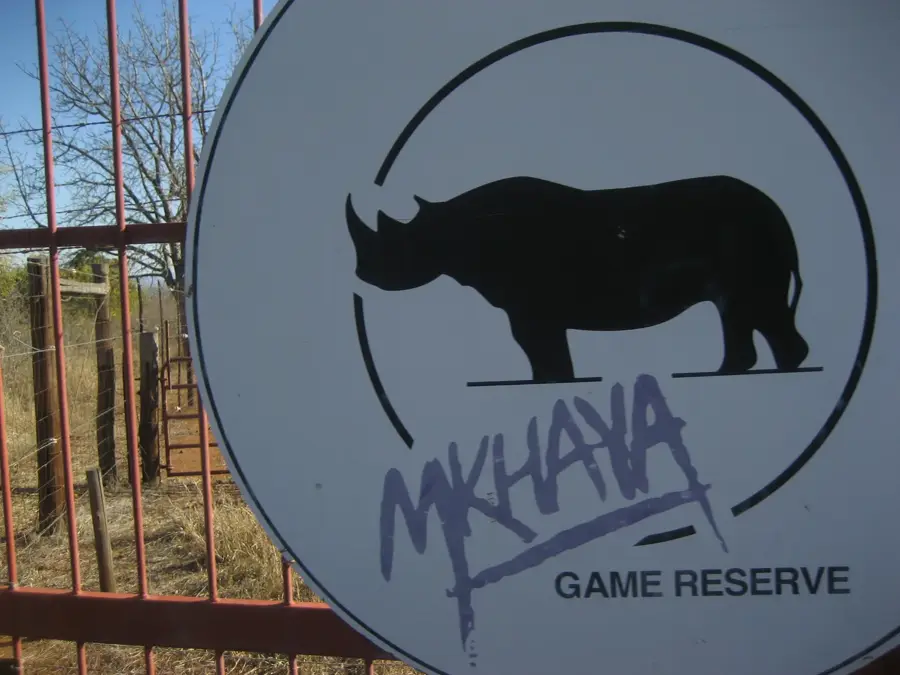
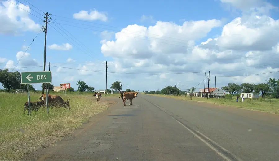
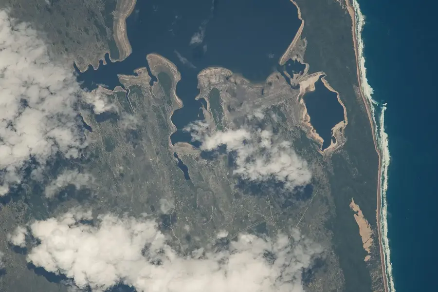
The Lubombo Plateau is a narrow, 800-kilometer-long mountain range stretching along Eswatini's eastern border between South Africa and Mozambique. Geologically, it is a monoclinal range composed predominantly of volcanic rocks such as basalt and rhyolite. Within Eswatini, the plateau reaches an average elevation of about 600 meters and forms a rugged barrier against moist air masses from the Indian Ocean. This results in a unique microclimate with a high number of endemic plant and animal species. The plateau is characterized by deep gorges carved by major rivers like the Lusutfu and Mbuluzi. Historically, the region served as a strategic borderland and a site for numerous cultural encounters. Today, the Lubombo Plateau hosts significant nature reserves like Mlawula and Shewula, which promote conservation and sustainable ecotourism.
- Location: Eswatini
- Nearby: Siteki (9 km)
Best time to visit & climate
The most pleasant time to visit is May, Aug, Sep.
| Jan | Feb | Mar | Apr | May | Jun | Jul | Aug | Sep | Oct | Nov | Dec | |
|---|---|---|---|---|---|---|---|---|---|---|---|---|
| Avg °C | 25 | 25 | 25 | 22 | 20 | 18 | 18 | 20 | 22 | 23 | 24 | 25 |
| Rain mm | 128 | 89 | 83 | 48 | 15 | 9 | 11 | 13 | 27 | 52 | 95 | 113 |
📋 Practical info
Geography
Facts
- The range is approximately 800 kilometers long in total.
- The plateau is primarily composed of volcanic rock.
- It forms Eswatini's eastern border with Mozambique.
- Rivers like the Lusutfu break through the plateau in deep gorges.
- The average elevation is around 600 meters.
- The area is renowned for its high biodiversity.
Explore nearby
Notable places around
Route planner — Car & Motorhome
Where do you start? We build the route here, with stops and country notes along the way.
© OpenStreetMap contributors · OpenRouteService
Sights nearby
Frequently asked questions
What characterizes the Lubombo Plateau?
Is the area suitable for cycling?
Are there nature reserves there?
How do you reach the plateau?
Should you bring insect repellent?
Lubombo Plateau: where is it located?
Lubombo Plateau: when is the best time to visit?
Lubombo Plateau: why is it worth visiting?

Nearby cities


History & landmarks
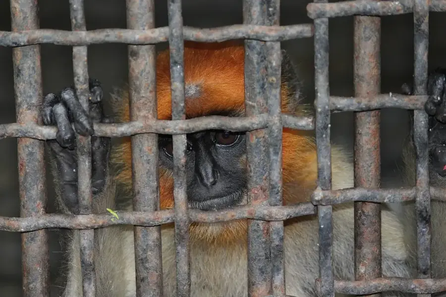
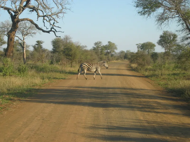
Nature
More places