Plizio Visual Lab
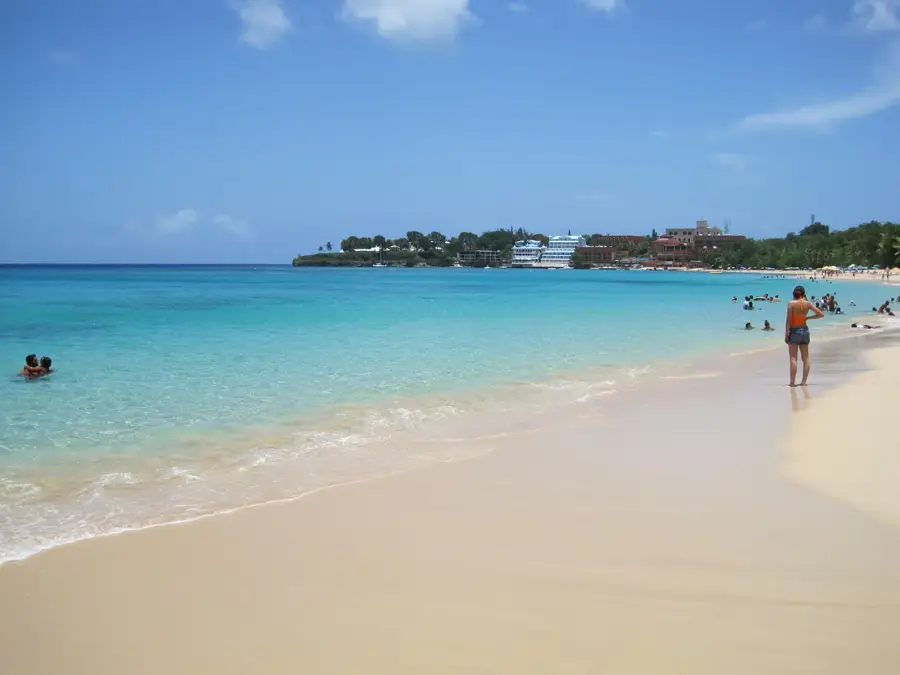
Cordillera Septentrional
Weather…
Water temperature…
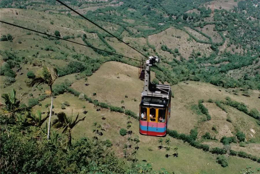
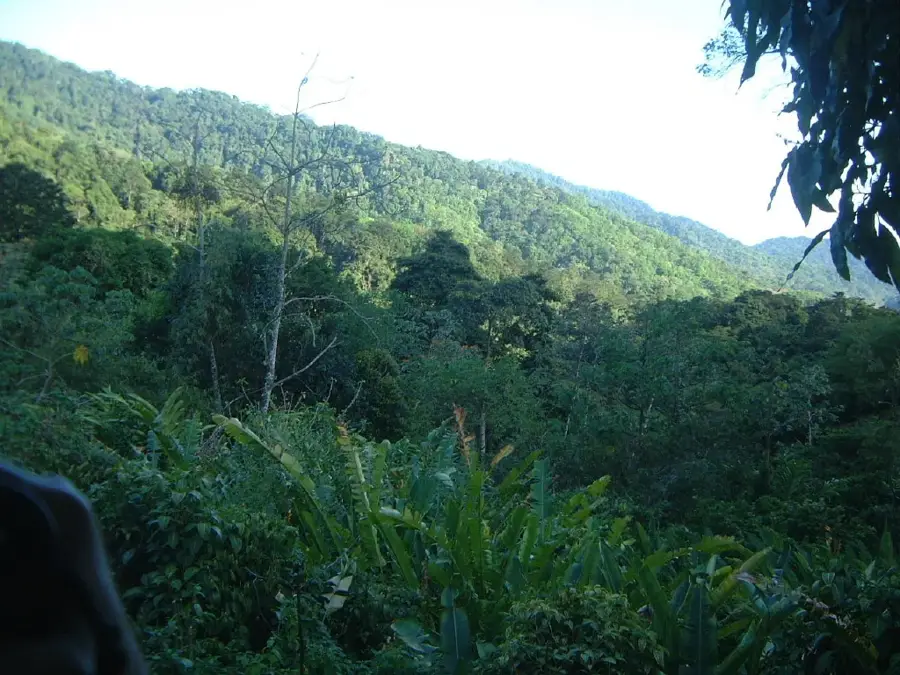
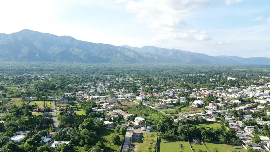
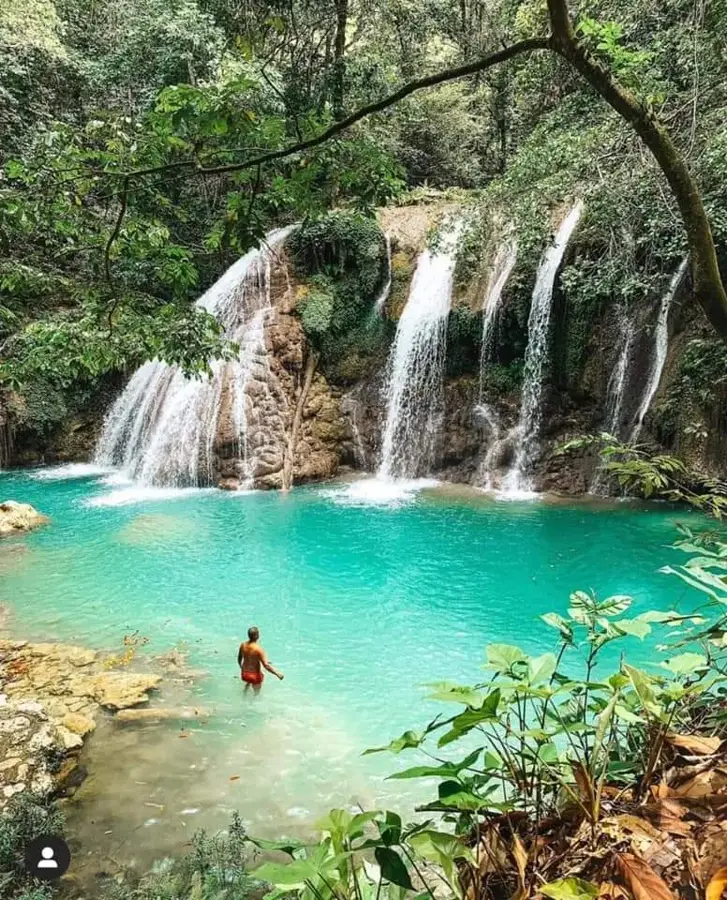
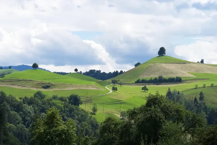
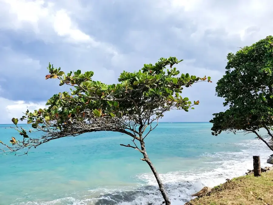
The Cordillera Septentrional is a major mountain range in the northern Dominican Republic, stretching approximately 200 kilometers parallel to the north coast. It separates the fertile Cibao Valley from the Atlantic Ocean, beginning in the northwest near Monte Cristi and tapering off in the east near the Samaná Peninsula. The highest point is Pico Diego de Ocampo, reaching 1.249 meters above sea level. Geologically, the range is famous for its significant deposits of Miocene and Oligocene amber, particularly the rare blue amber found in the mines of Santiago and Puerto Plata. The vegetation varies from dry forests in the west to lush rainforests in the higher central and eastern elevations. Economically, the region is vital for the cultivation of cacao and coffee, as well as for mining activities. It also plays an essential role in regulating the local climate and providing water resources for the northern provinces.
- Location: Dominican Republic
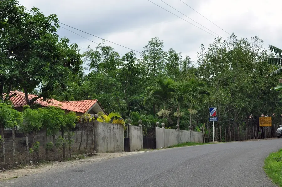
- Nearby: Jamao al Norte (9 km)
Best time to visit & climate
The most pleasant time to visit is Jan–Mar.
| Jan | Feb | Mar | Apr | May | Jun | Jul | Aug | Sep | Oct | Nov | Dec | |
|---|---|---|---|---|---|---|---|---|---|---|---|---|
| Avg °C | 23 | 23 | 24 | 25 | 26 | 27 | 27 | 27 | 27 | 26 | 25 | 24 |
| Rain mm | 49 | 29 | 38 | 44 | 65 | 39 | 49 | 55 | 58 | 60 | 86 | 56 |
📋 Practical info
Geography
Facts
- Total length of the mountain range is approximately 200 kilometers
- The highest peak is Pico Diego de Ocampo at 1,249 meters
- Primary source for the world-famous Dominican blue amber
- Contains the Loma Quita Espuela Scientific Reserve
- Geological formations date back to the Miocene and Oligocene periods
- Major agricultural hub for high-quality cacao and coffee production
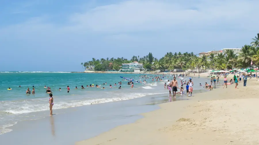
Explore nearby
Notable places around
Route planner — Car & Motorhome
Where do you start? We build the route here, with stops and country notes along the way.
© OpenStreetMap contributors · OpenRouteService
Sights nearby
Frequently asked questions
Where is this mountain range located?
What is mined there?
What is the highest peak?
Can you go hiking there?
Which cities are nearby?
Cordillera Septentrional: where is it located?
Cordillera Septentrional: when is the best time to visit?
Cordillera Septentrional: why is it worth visiting?

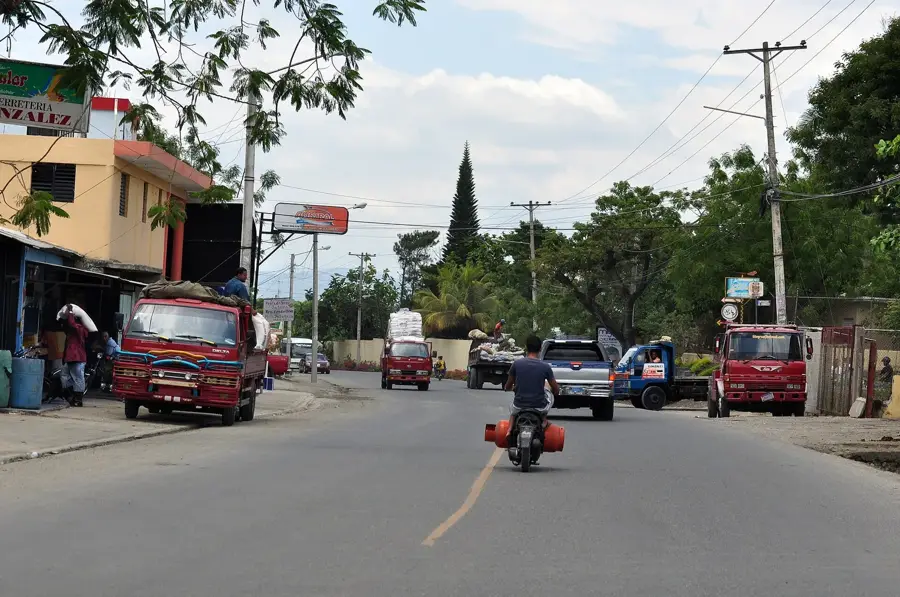
Nearby cities
History & landmarks

Nature
More places