Plizio Visual Lab
Aruwimi River
Weather…
Water temperature…
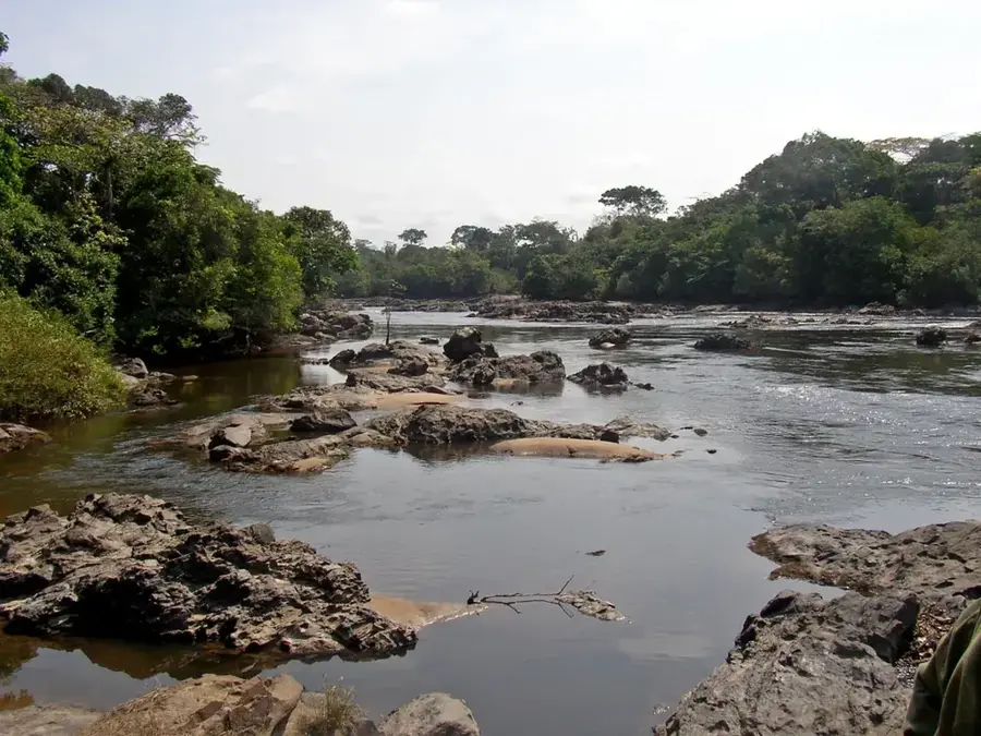
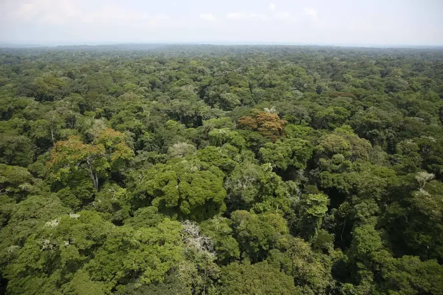
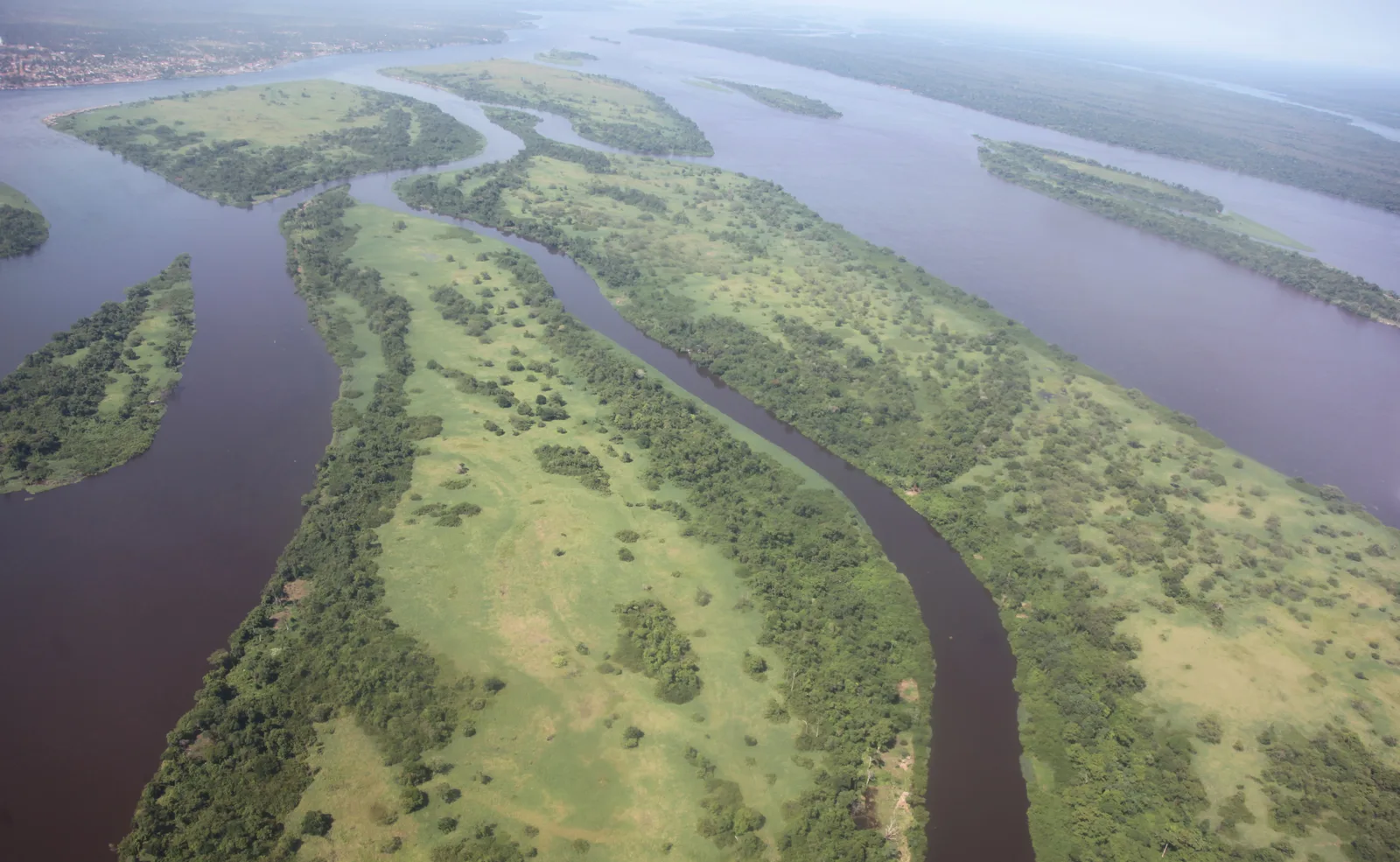
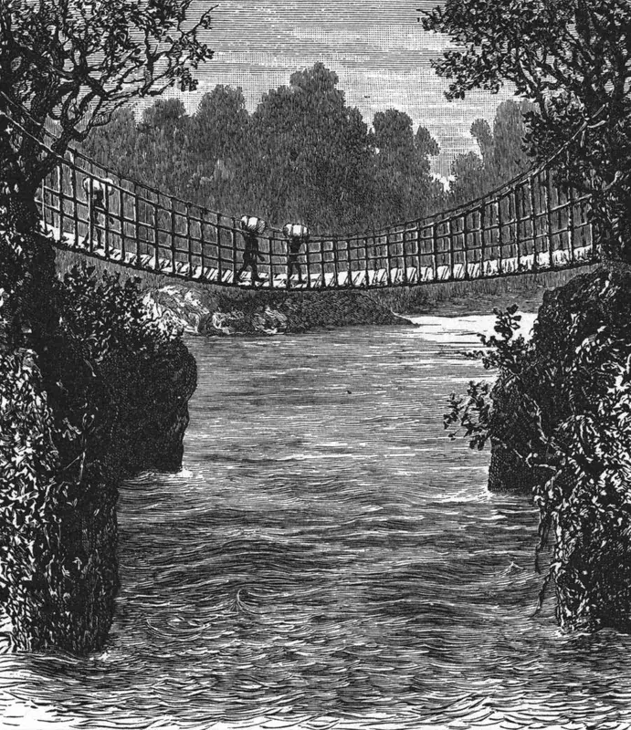
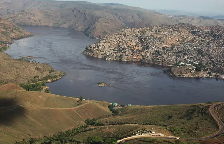
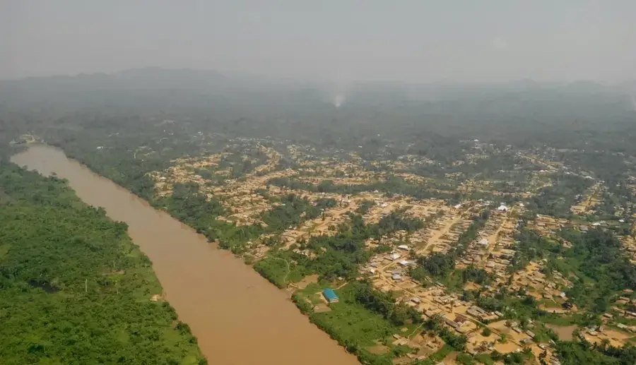
The Aruwimi River, known as the Ituri in its upper reaches, is a powerful right-bank tributary of the Congo River in the northeastern Democratic Republic of the Congo. Spanning a total length of about 1,300 kilometers, it flows through one of the densest rainforest regions on Earth, the Ituri Basin. Geographically, the river is characterized by dramatic waterfalls and rapids, especially in its middle section, which renders it unsuitable for large-scale commercial navigation but has helped preserve its natural state. Historically, the Aruwimi gained global fame through Henry Morton Stanley's 1887 expedition to rescue Emin Pasha. The river is the lifeblood for numerous indigenous communities, including the Mbuti pygmy people, whose cultural identity is deeply intertwined with these waters. The biodiversity along the Aruwimi is among the richest in Africa, with the river serving as both a biological barrier and a corridor for various species. Today, the region is a focus for international conservation efforts, though it remains under pressure from illegal gold mining activities in its smaller tributaries.
- Location: Congo - Kinshasa
- Nearby: Yangambi (77 km)
Best time to visit & climate
The most pleasant time to visit is Jan, Jul, Dec.
| Jan | Feb | Mar | Apr | May | Jun | Jul | Aug | Sep | Oct | Nov | Dec | |
|---|---|---|---|---|---|---|---|---|---|---|---|---|
| Avg °C | 26 | 27 | 26 | 25 | 25 | 25 | 25 | 25 | 24 | 24 | 24 | 25 |
| Rain mm | 56 | 94 | 142 | 174 | 138 | 119 | 112 | 136 | 144 | 185 | 143 | 93 |
📋 Practical info
Geography
Facts
- The Aruwimi River stretches for approximately 1,300 kilometers.
- Its upper section is the Ituri River, home to the Okapi Reserve.
- The river joins the main Congo stream at the town of Basoko.
- Henry Morton Stanley explored the river in depth during 1887.
- Frequent rapids make the river impassable for most motor vessels.
- The Aruwimi basin contains some of the highest biodiversity in Africa.
Explore nearby
Notable places around
Route planner — Car & Motorhome
Where do you start? We build the route here, with stops and country notes along the way.
© OpenStreetMap contributors · OpenRouteService
Sights nearby
Frequently asked questions
How long is the Aruwimi?
Who explored the river in the 19th century?
Which river does the Aruwimi flow into?
What is the vegetation like along the river?
Is the Aruwimi navigable?
Aruwimi River: where is it located?
Aruwimi River: when is the best time to visit?
Aruwimi River: why is it worth visiting?

Nature


More places