Plizio Visual Lab
Elila River
Weather…
Water temperature…
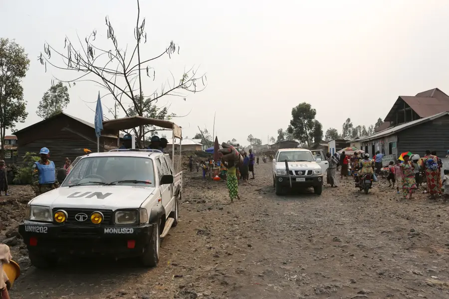
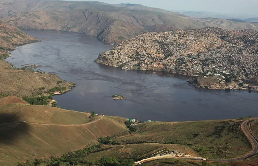
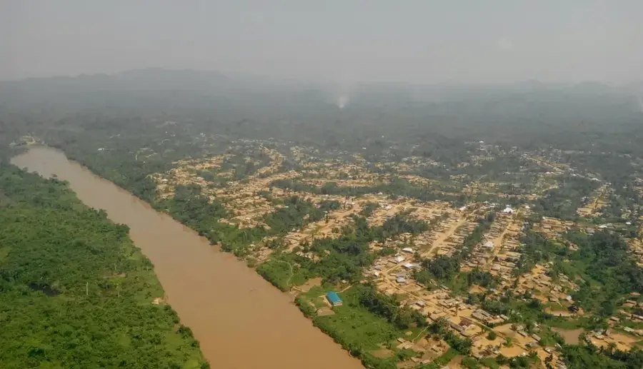
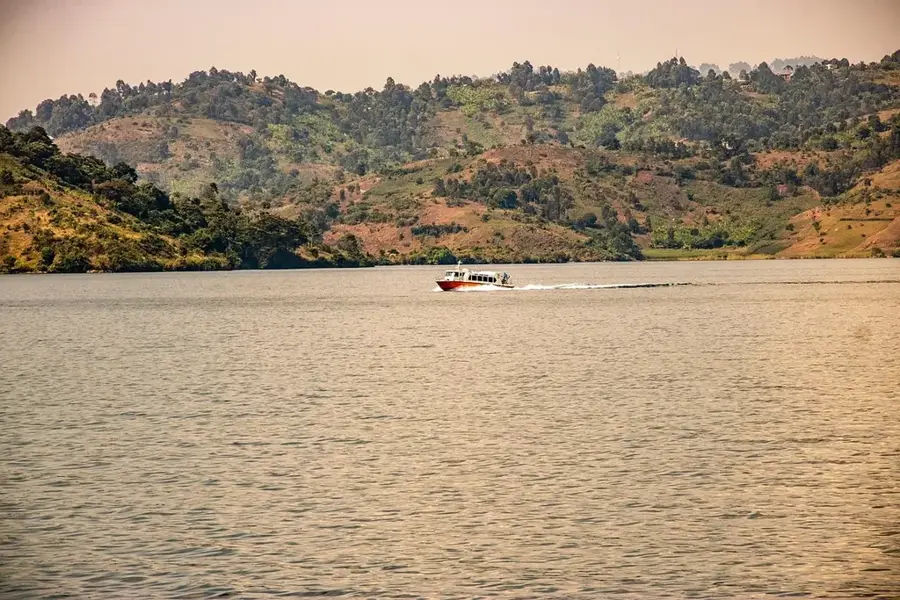
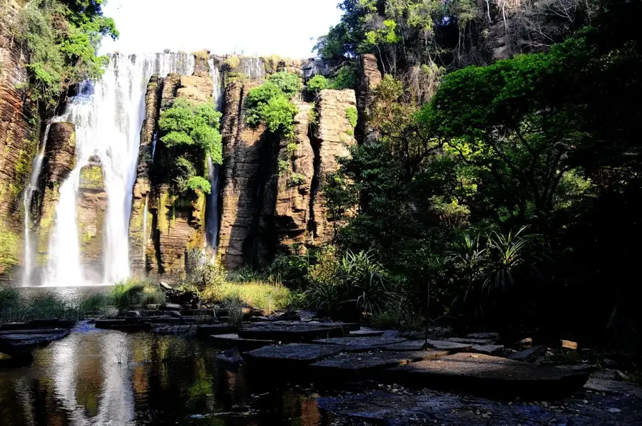
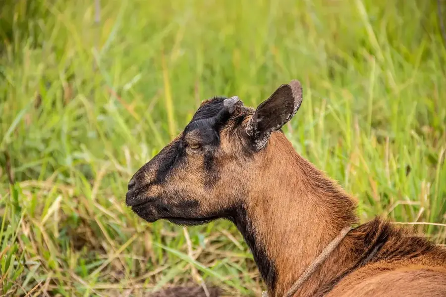
The Elila River is a significant river in the eastern Democratic Republic of Congo and a major tributary of the Lualaba River. It originates in the Mitumba Mountains in the Sud-Kivu province and flows westward through a sparsely populated region characterized by dense equatorial rainforests. The river's course extends for approximately 600 kilometers and is marked by numerous rapids and waterfalls, which severely limits commercial navigation. The Elila's catchment area is of great ecological importance, hosting a rich biodiversity, including populations of eastern lowland gorillas, chimpanzees, and forest elephants. The region is also part of the Lomami National Park, one of the country's newest protected areas. Local communities primarily use the river for fishing and as a transport route with small pirogues. The river plays a central role in the hydrographic system of the Congo Basin, contributing significantly to the Lualaba's water flow.
- Location: Congo - Kinshasa
- Nearby: Shabunda (49 km)
Best time to visit & climate
The most pleasant time to visit is May–Jul.
| Jan | Feb | Mar | Apr | May | Jun | Jul | Aug | Sep | Oct | Nov | Dec | |
|---|---|---|---|---|---|---|---|---|---|---|---|---|
| Avg °C | 23 | 24 | 24 | 24 | 24 | 23 | 23 | 24 | 24 | 23 | 23 | 23 |
| Rain mm | 179 | 182 | 239 | 191 | 104 | 43 | 44 | 109 | 188 | 236 | 307 | 229 |
📋 Practical info
Geography
Facts
- River length: approx. 600 km
- Flows into the Lualaba River
- Source: Mitumba Mountains
- Flows through Lomami National Park
- Catchment area: Part of the Congo Basin
- Important habitat for the Eastern Lowland Gorilla
Explore nearby
Notable places around
Route planner — Car & Motorhome
Where do you start? We build the route here, with stops and country notes along the way.
© OpenStreetMap contributors · OpenRouteService
Sights nearby
Frequently asked questions
Where does the Elila River flow?
Which river does the Elila flow into?
Is there mining there?
What is the nature like along the Elila?
Is the river navigable?
Elila River: where is it located?
Elila River: when is the best time to visit?
Elila River: why is it worth visiting?

Nature

More places