Plizio Visual Lab
Uele River
Weather…
Water temperature…
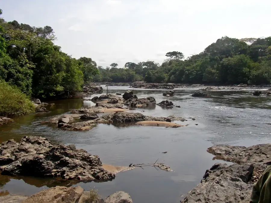
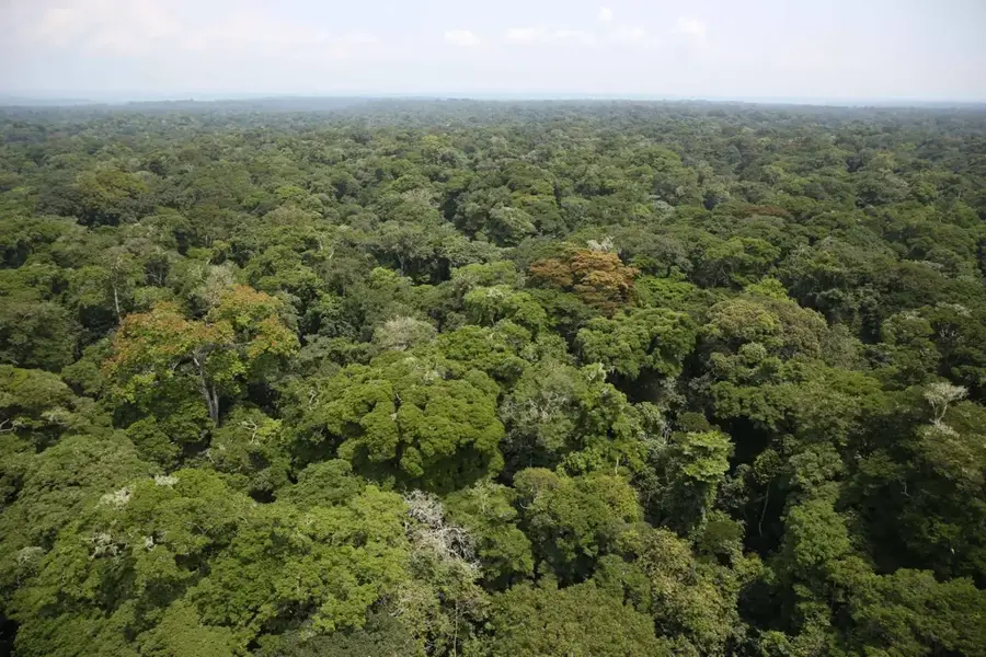
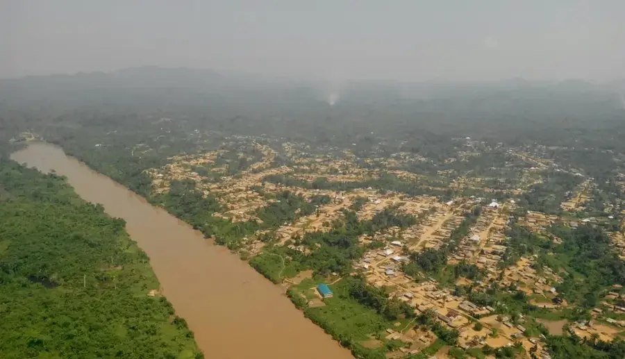
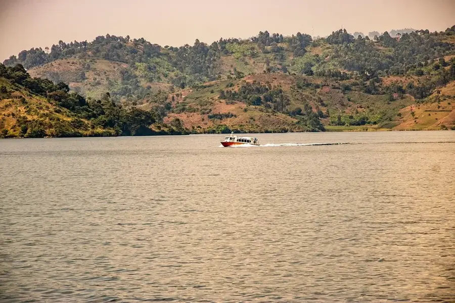
The Uele River is a major waterway in the northern part of the Democratic Republic of the Congo and one of the two primary headstreams of the Ubangi River. Stretching approximately 1,210 kilometers, it rises in the Blue Mountains near Lake Albert and flows westward through the provinces of Haut-Uele and Bas-Uele. Its upper reaches are defined by steep valleys and a swift current, while the lower sections meander through dense primary rainforests and humid savannas. Historically, the Uele basin was a hub of trade and the seat of powerful cultures like the Azande and Mangbetu peoples, renowned for their sophisticated metalwork and architecture. The river is rich in fish species and serves as a crucial transportation corridor in a region where roads are scarce. The surrounding wilderness is home to significant wildlife populations, including elephants, chimpanzees, and diverse bird species. Despite its potential for hydroelectric power and large-scale agriculture, the Uele remains largely underdeveloped due to its geographical isolation, thus preserving its pristine and wild character.
- Location: Congo - Kinshasa
- Nearby: Bambesa (32 km)
Best time to visit & climate
The most pleasant time to visit is Jan, Feb, Dec.
| Jan | Feb | Mar | Apr | May | Jun | Jul | Aug | Sep | Oct | Nov | Dec | |
|---|---|---|---|---|---|---|---|---|---|---|---|---|
| Avg °C | 25 | 26 | 25 | 25 | 24 | 24 | 24 | 24 | 24 | 24 | 24 | 24 |
| Rain mm | 28 | 55 | 139 | 202 | 190 | 162 | 155 | 194 | 189 | 237 | 132 | 35 |
📋 Practical info
Geography
Facts
- The Uele River spans a total length of 1,210 kilometers.
- It converges with the Mbomou River at Yakoma to form the Ubangi.
- The river originates at an elevation of over 1,300 meters.
- The Mangbetu people are famous for their unique culture along the Uele.
- The river basin is known for its significant gold and diamond deposits.
- Average annual discharge is approximately 1,500 cubic meters per second.
Explore nearby
Notable places around
Route planner — Car & Motorhome
Where do you start? We build the route here, with stops and country notes along the way.
© OpenStreetMap contributors · OpenRouteService
Sights nearby
Frequently asked questions
Where does the Uele River flow?
What is formed by the confluence of the Uele?
Are there rapids?
What significance does the river have for trade?
Which tribes live along the Uele?
Uele River: where is it located?
Uele River: when is the best time to visit?
Uele River: why is it worth visiting?

Nature

More places