Plizio Visual Lab
Maungapu
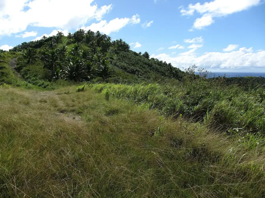
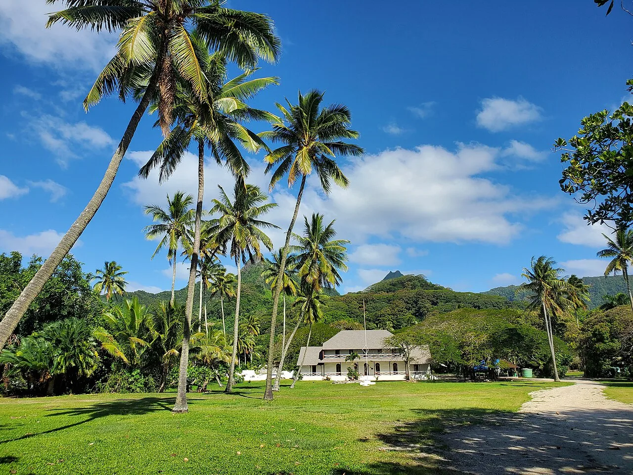
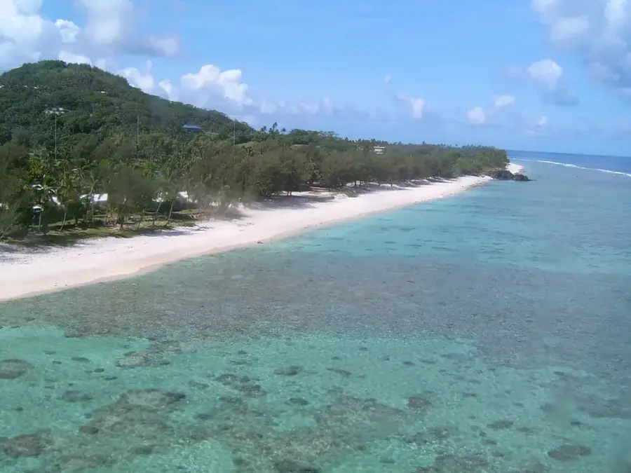
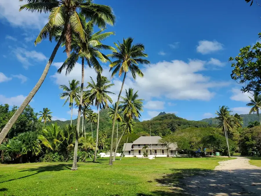
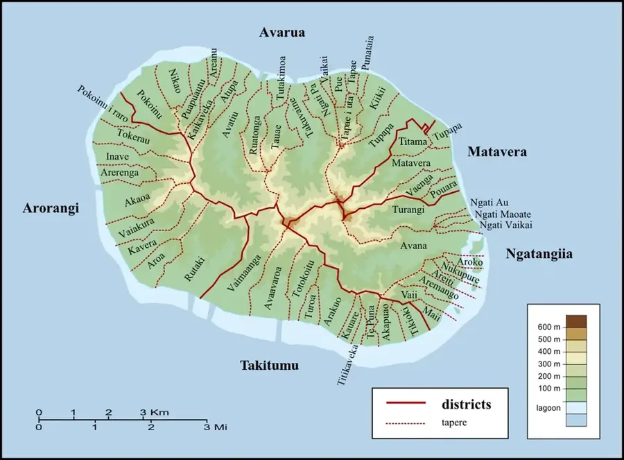
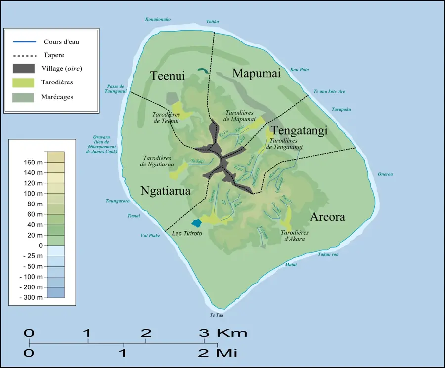
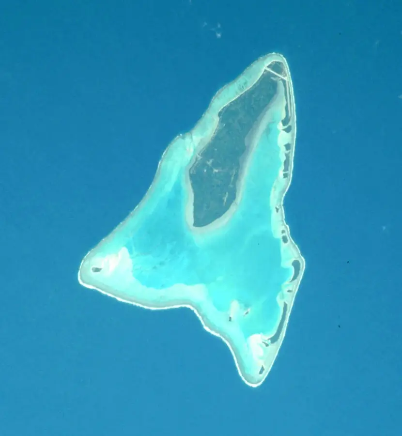
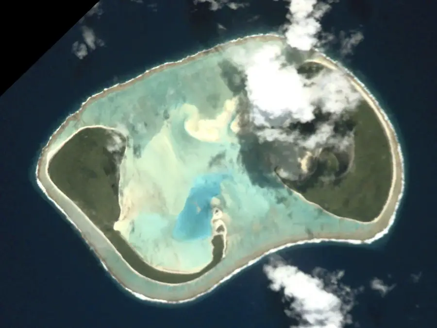
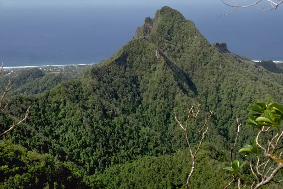
Maungapu is the highest elevation on Aitutaki, rising 124 meters above sea level at the northern end of the main island. Despite its modest height, it stands out significantly against the low-lying terrain of the surrounding coral atoll. The hill is a remnant of the original volcanic peak that formed the island before it subsided over millions of years. A well-trodden hiking trail winds through lush vegetation and grassy slopes, leading to a summit that provides a spectacular 360-degree panorama. From this vantage point, hikers can view the entire turquoise expanse of the lagoon, the distinct line of the outer reef, and the scattering of motus (islets) along the eastern edge. Local folklore tells a story of how the hill was once part of Rarotonga and was stolen by Aitutakian warriors in a single night. Today, Maungapu is for those seeking to understand the island's geography and enjoy the best sunset views in the Cook Islands.
- Location: Cook Islands
- Top sights: Lookout · Piraki Lookout · Seventh Day Adventist Church
Best time to visit & climate
The most pleasant time to visit is Jun–Aug.
| Jan | Feb | Mar | Apr | May | Jun | Jul | Aug | Sep | Oct | Nov | Dec | |
|---|---|---|---|---|---|---|---|---|---|---|---|---|
| Avg °C | 27 | 27 | 27 | 27 | 26 | 25 | 25 | 24 | 25 | 25 | 26 | 27 |
| Rain mm | 217 | 211 | 186 | 175 | 141 | 57 | 65 | 58 | 71 | 91 | 133 | 199 |
📋 Practical info
Geography
Facts
- Height: 124 m
- Island: Aitutaki
- Summit type: volcanic cone
- Ascent time: 30 minutes
- Feature: lookout point
- Distance to lagoon: 1 km
Explore nearby
Notable places around
Route planner — Car & Motorhome
Where do you start? We build the route here, with stops and country notes along the way.
© OpenStreetMap contributors · OpenRouteService
Sights in the town Maungapu (8)
Maungapu
Mountain in New Zealand, located on Aitutaki, Cook Islands.
Aitutaki Catholic Community
Catholic church community on the island of Aitutaki.
Bubbles Below diving
Dive center on Aitutaki, offering dives and courses.
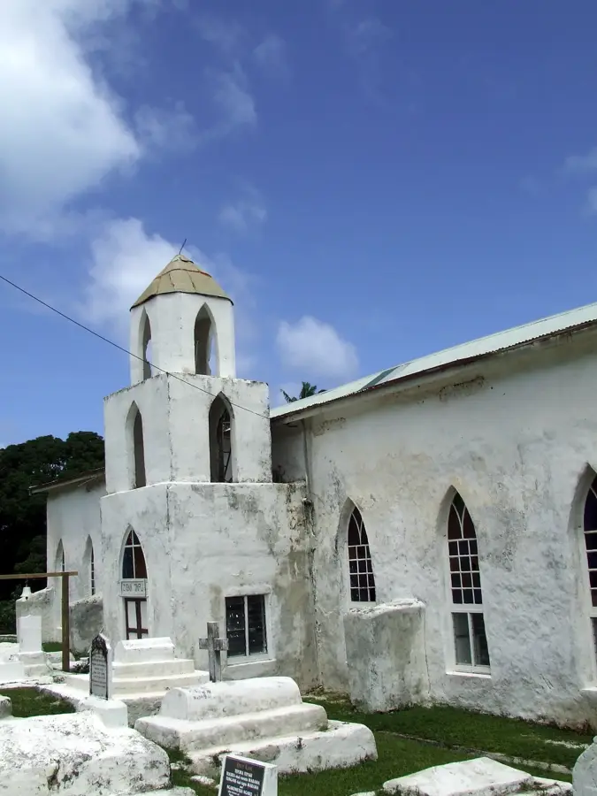
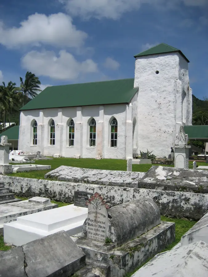
Cook Island Christian Church
Cook Islands Christian Church building, a white structure in Aitutaki.
Sights nearby
Frequently asked questions
Where is Maungapu located?
Is the hike difficult?
When is the best time of day to go up?
Can you drive to the top?
Is there an entry fee?
Maungapu: where is it located?
Maungapu: what is there to see?
Maungapu: when is the best time to visit?
Maungapu: why is it worth visiting?
Nearby cities

History & landmarks

Nature

More places