Plizio Visual Lab
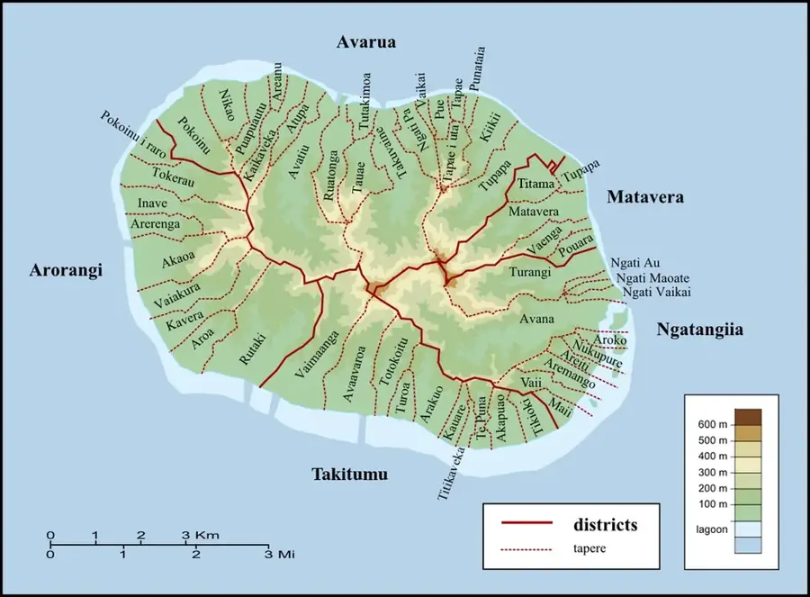
Ikurangi
Weather…
Water temperature…
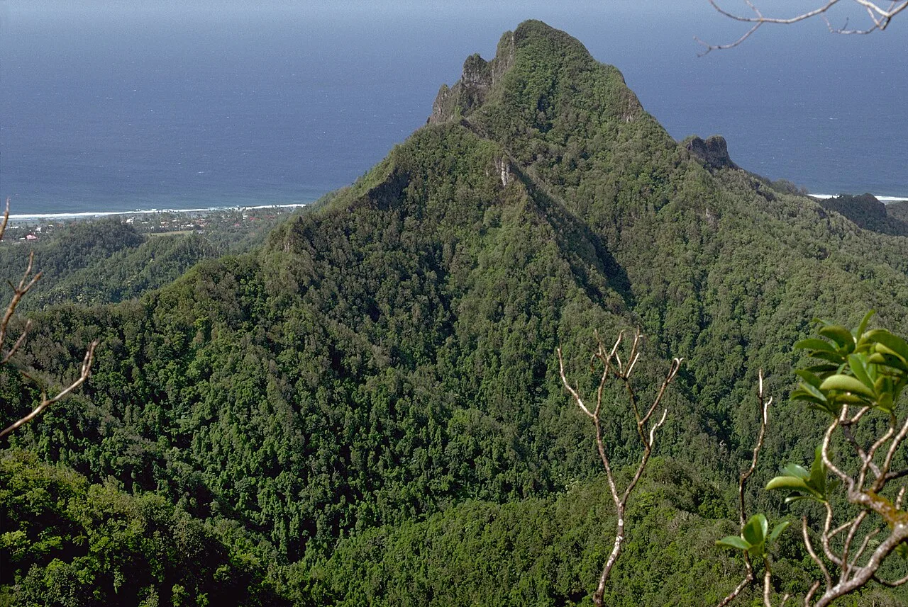
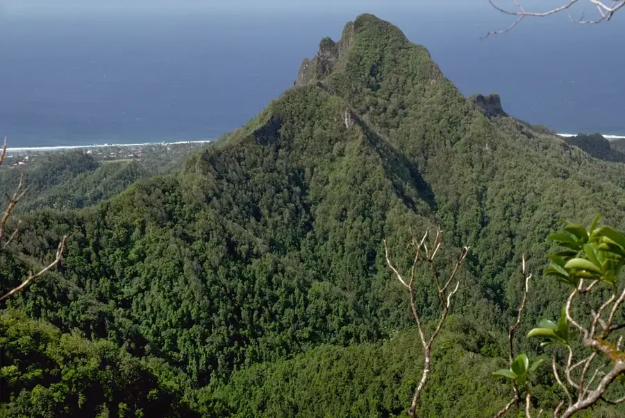
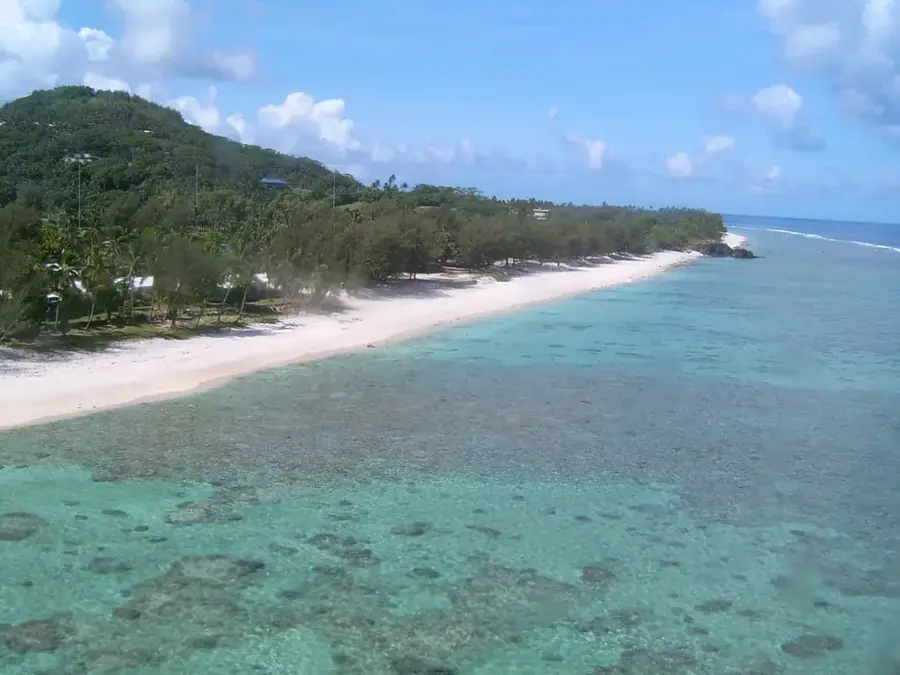
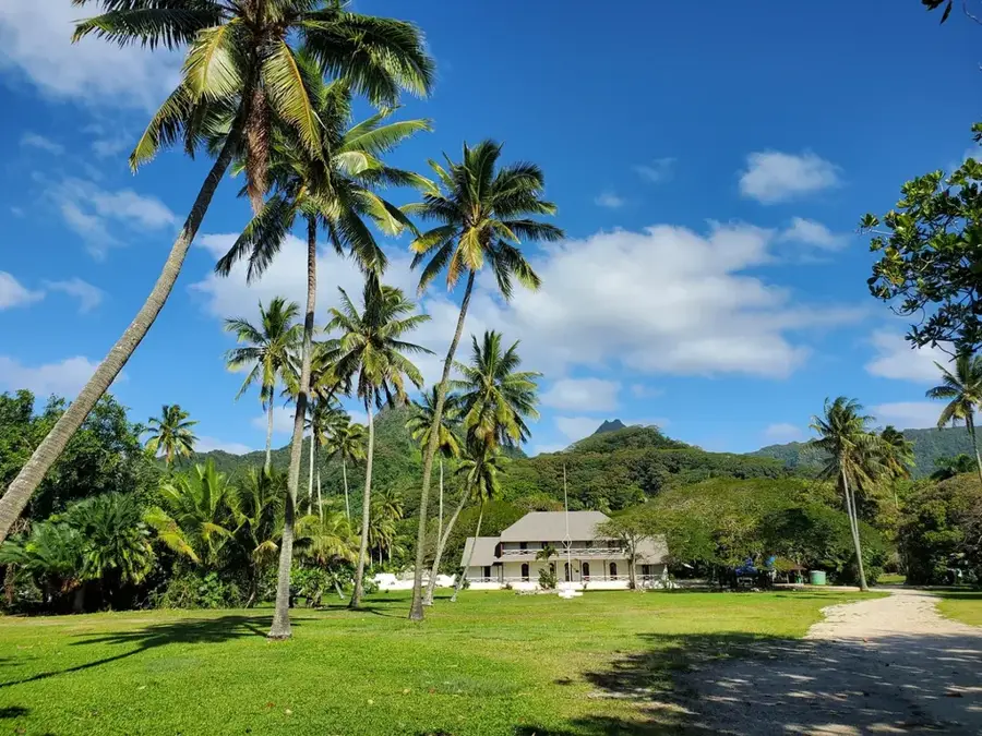
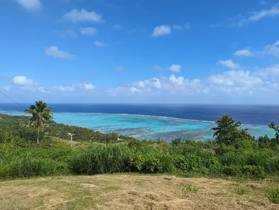
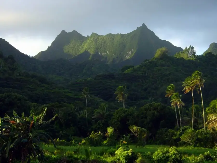
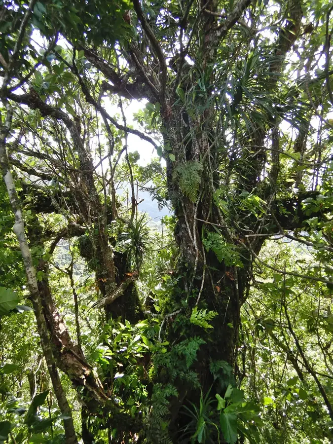
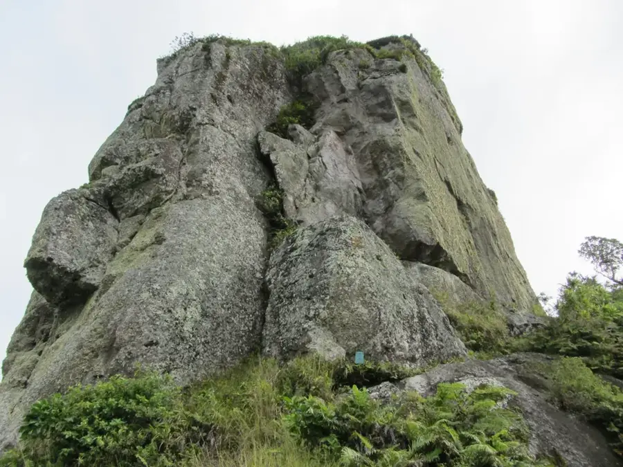
Standing at 485 meters, Ikurangi is the most iconic silhouette on Rarotonga, despite not being its highest peak. It towers directly behind the capital of Avarua, defined by its sheer basalt cliffs and a distinctive flat-topped summit that dominates the northern skyline. The hike to the top is widely considered the most technical on the island, involving steep scrambles through dense tropical ferns and an exposed final ascent that requires the use of fixed ropes. From the summit, the entire northern coast, the surrounding reef, and the vast blue of the Pacific Ocean unfold in a spectacular panorama. In Cook Islands Maori culture, Ikurangi holds great significance as the first point to catch the morning sun's rays. Its name, meaning "tail of the sky," reflects its prominence. The trail gives a deep dive into the island's biodiversity, passing through ancient volcanic soils and ending at a vantage point that feels like the very edge of the world.
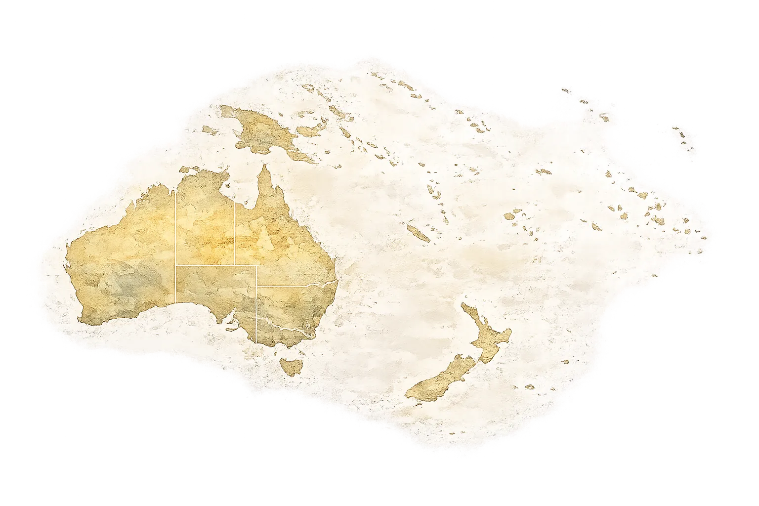
- Location: Cook Islands
- Top sights: Ikurangi · Clear View · Te Manga
- Nearby: Ngatangiia (4 km)
Best time to visit & climate
The most pleasant time to visit is Jun–Aug.
| Jan | Feb | Mar | Apr | May | Jun | Jul | Aug | Sep | Oct | Nov | Dec | |
|---|---|---|---|---|---|---|---|---|---|---|---|---|
| Avg °C | 26 | 27 | 27 | 26 | 25 | 24 | 23 | 23 | 23 | 24 | 25 | 26 |
| Rain mm | 195 | 202 | 198 | 166 | 150 | 62 | 77 | 63 | 83 | 95 | 144 | 175 |
📋 Practical info
Geography
Facts
- Height: 489 m
- Location: central mountain range
- Rock type: basalt
- Rainfall: >3000 mm/year
- Climb time: 5-6 hours
- Mythological significance: yes
Explore nearby
Notable places around
Route planner — Car & Motorhome
Where do you start? We build the route here, with stops and country notes along the way.
© OpenStreetMap contributors · OpenRouteService
Sights in the town Ikurangi (10)
Oroenga
Mountain in New Zealand, on Rarotonga, Cook Islands.
Cook Islands Library and Museum🏛 museum
Library and museum in Avarua, Rarotonga, featuring local literature.
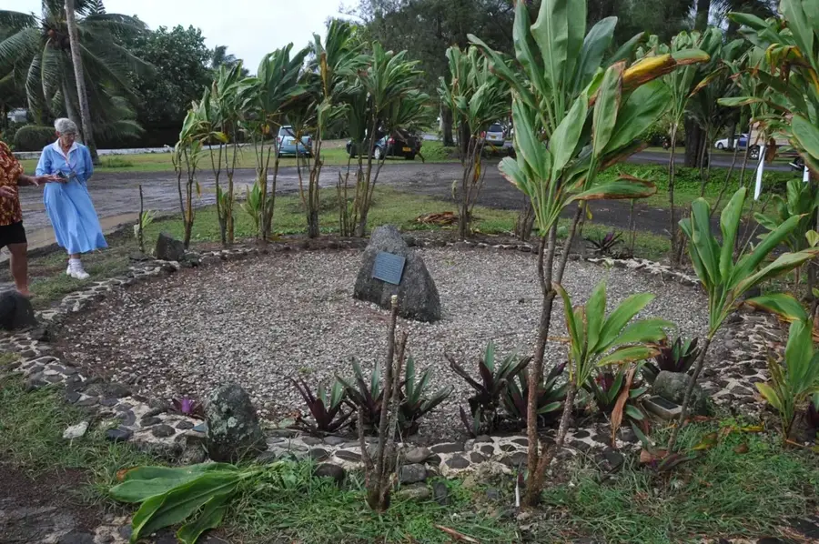
Taputapuātea
Ruins of a historical site on Rarotonga, likely a marae.
Apostolic Church
Apostolic church on Rarotonga, Cook Islands.
Avarua Cook Islands Christian Church
Christian church in Avarua, Rarotonga, a prominent white building.
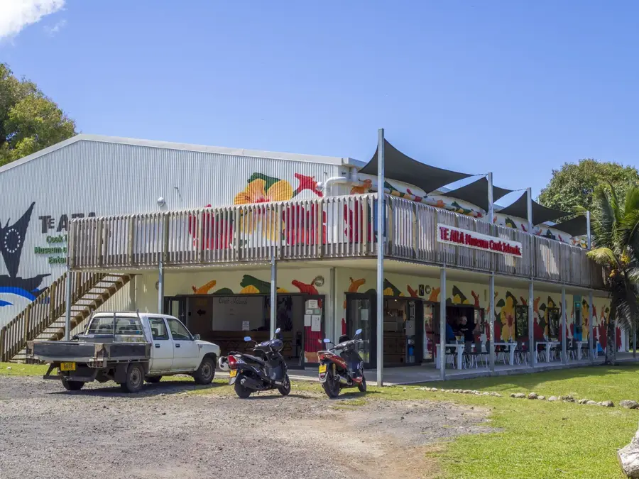
Cook Islands Museum🏛 museum
Museum on Rarotonga presenting the history of the Cook Islands.
Sights nearby
Frequently asked questions
Is Ikurangi the highest mountain?
How difficult is the climb?
How long does the trek take?
Is there drinking water on the trail?
Can you climb the peak in the rain?
Ikurangi: where is it located?
Ikurangi: what is there to see?
Ikurangi: when is the best time to visit?
Ikurangi: why is it worth visiting?
Nearby cities

History & landmarks
Nature


More places