Plizio Visual Lab
Mont Dar Challa

Weather…
Water temperature…
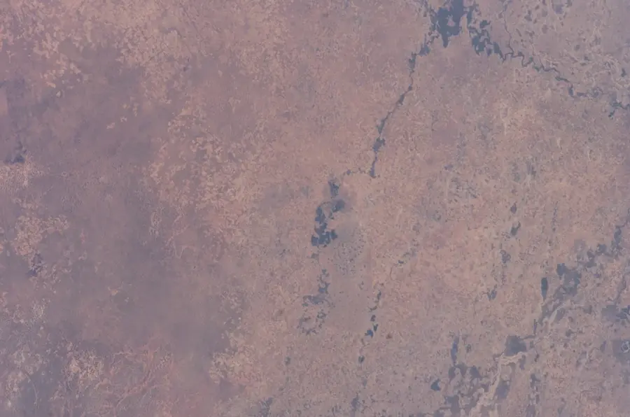
Mont Dar Challa is a prominent peak in the northeastern Central African Republic, located near the border with Sudan. Rising from the extensive Bongo Massif, it represents one of the most important topographic elevations in the Vakaga Prefecture. The region surrounding the mountain is known for its rugged beauty and extreme climatic conditions, featuring a distinct dry season that tints the landscape in shades of ochre and brown. Geographically, Mont Dar Challa is strategically situated along ancient caravan routes that once connected the Chad Basin with the Nile Valley. Vegetation is sparse, consisting primarily of drought-resistant grasses and acacias adapted to the harsh environment. Geologically, the mountain is part of Central Africa's crystalline basement and exhibits fascinating weathering forms created by significant temperature fluctuations. In local folklore, the peak is often regarded as a mystical site, intertwined with the ancient legends of the resident tribes.
Explore on the map
How well do you know Central African Republic?
Find cities, landscapes and regions in 10 varied challenges on the interactive map.
Your journey, your memory
A postcard from Mont Dar Challa
Turn your own photo into a personal postcard with a local stamp. Free and no sign-up required.
Create a postcardBest time to visit & climate
The most pleasant time to visit is Jan, Nov, Dec.
| Jan | Feb | Mar | Apr | May | Jun | Jul | Aug | Sep | Oct | Nov | Dec | |
|---|---|---|---|---|---|---|---|---|---|---|---|---|
| Avg °C | 25 | 28 | 30 | 31 | 30 | 27 | 25 | 24 | 24 | 25 | 25 | 24 |
| Rain mm | 0 | 1 | 10 | 26 | 96 | 125 | 197 | 245 | 179 | 88 | 5 | 0 |
📋 Practical info
Geography
Facts
- Location: Within the Vakaga Prefecture in northeastern CAR.
- Border: Positioned near the international boundary with Sudan.
- Massif: A significant component of the Bongo mountain range.
- Climate: Semi-arid with intense seasonal droughts.
- Flora: Primarily drought-resistant grasses and acacia trees.
- Culture: Associated with mystical legends and ancient trade routes.
Explore nearby
Notable places around
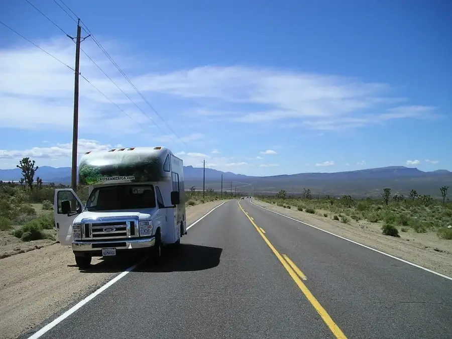
Route planner — Car & Motorhome
Where do you start? We build the route here, with stops and country notes along the way.
© OpenStreetMap contributors · OpenRouteService
Sights nearby
Frequently asked questions
What is Mont Dar Challa?
How is the climate?
Are there wild animals?
Is it a sacred mountain?
Can it be climbed?
Mont Dar Challa: where is it located?
Mont Dar Challa: when is the best time to visit?
Mont Dar Challa: why is it worth visiting?

Nearby cities
More places