Plizio Visual Lab
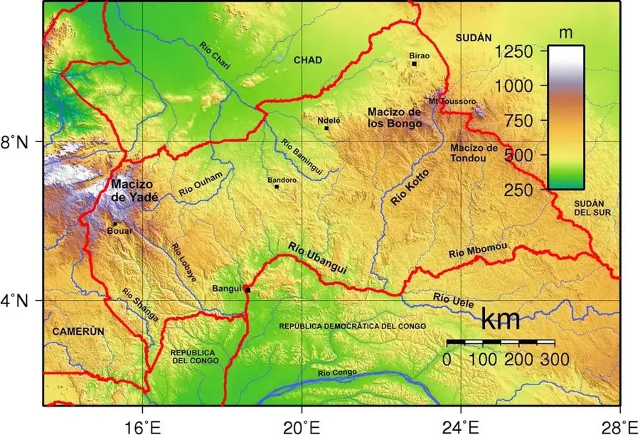
Fertit Mountains
Weather…
Water temperature…
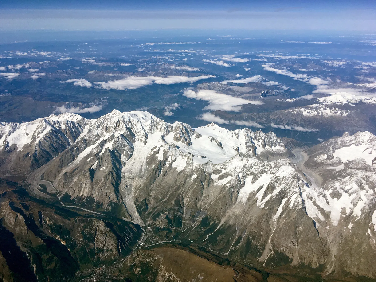
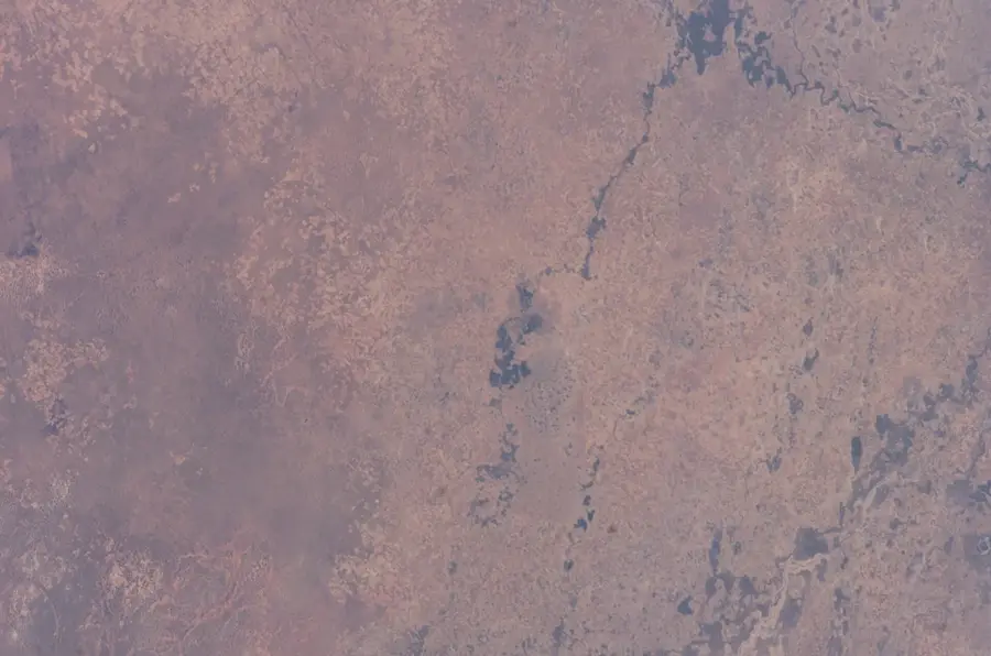
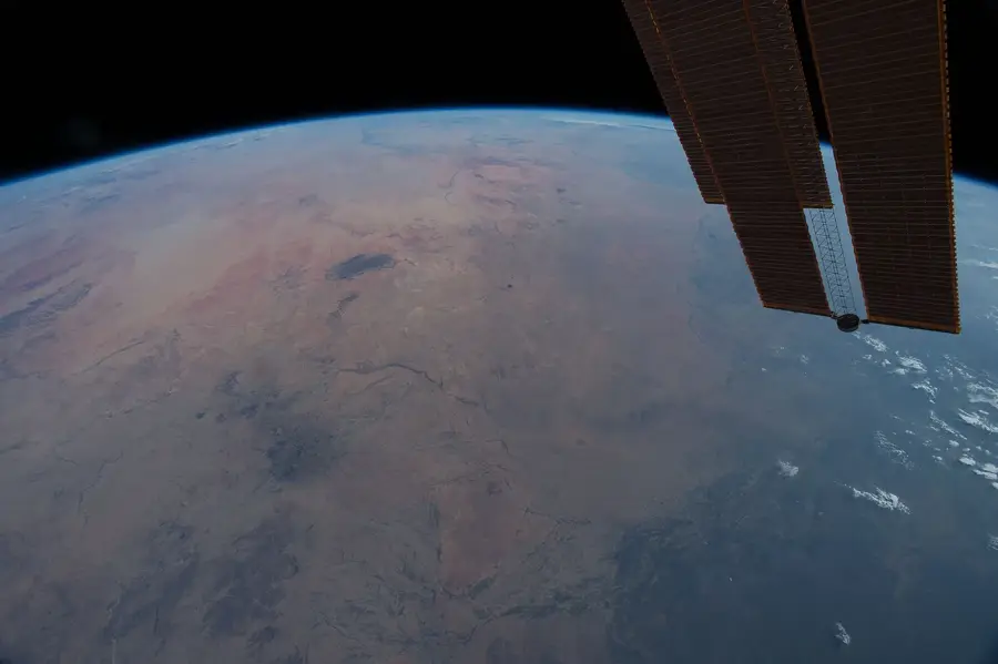
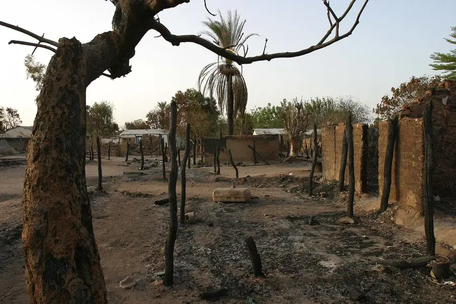
The Fertit Mountains, also known as Jebel Fertit, are located in the borderlands between the northeastern Central African Republic and Sudan. This mountainous region is historically and geographically linked to the Bongo Massif, forming a rugged and inaccessible wilderness. The peaks consist of resilient sandstone and granite, which create a series of stark plateaus and deeply incised gorges. Climatically, the area is defined by extreme seasonal differences, featuring an intense rainy season and a very dry period during which many streams vanish. The Fertit Mountains serve as a critical refuge for rare large mammals, such as the giant eland. Historically, the region was known as 'Dar Fertit,' a territory that remained outside the direct control of colonial powers for a long time, providing shelter to various ethnic groups. The region's cultural identity is shaped by a blend of Central African and Sudanese influences. Today, its remoteness and the political situation present major challenges for conservation, yet simultaneously make these mountains one of Africa's last true wilderness areas.
Best time to visit & climate
The most pleasant time to visit is Jan, Nov, Dec.
| Jan | Feb | Mar | Apr | May | Jun | Jul | Aug | Sep | Oct | Nov | Dec | |
|---|---|---|---|---|---|---|---|---|---|---|---|---|
| Avg °C | 26 | 29 | 31 | 32 | 31 | 29 | 26 | 25 | 25 | 26 | 26 | 25 |
| Rain mm | 0 | 0 | 4 | 13 | 61 | 97 | 189 | 207 | 145 | 61 | 4 | 0 |
📋 Practical info
Geography
Facts
- The mountains span the international border between the CAR and Sudan.
- The highest elevation in this sector is approximately 1,150 meters.
- The rock formations are mainly of Precambrian and Paleozoic origin.
- The region is known for its occurrences of mineral ores.
- Dar Fertit translates in local languages to 'Land of the Fertit peoples.'
- Annual rainfall fluctuates significantly between 800 and 1,000 mm.
Explore nearby
Notable places around
Route planner — Car & Motorhome
Where do you start? We build the route here, with stops and country notes along the way.
© OpenStreetMap contributors · OpenRouteService
Sights nearby
Frequently asked questions
Where are the Fertit Mountains?
Are they high?
Is there forest?
How is the security?
Which peoples live there?
Fertit Mountains: where is it located?
Fertit Mountains: when is the best time to visit?
Fertit Mountains: why is it worth visiting?

Nearby cities
More places