Plizio Visual Lab
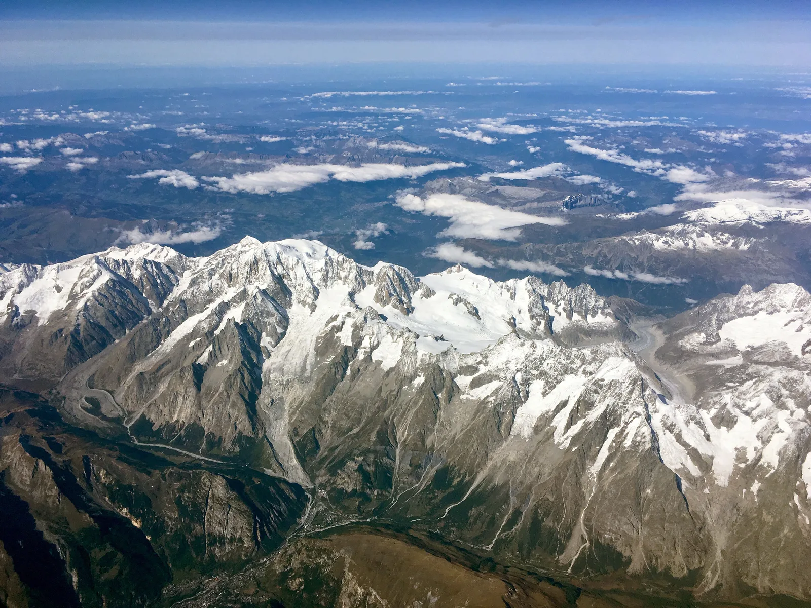
Bongo Massif
Weather…
Water temperature…
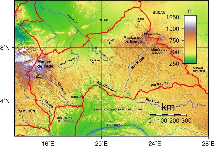
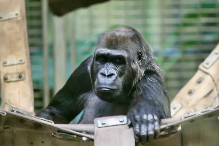
The Bongo Massif is an extensive mountain range in the northeastern Central African Republic, stretching towards the borders of Sudan and South Sudan. This geological formation is primarily composed of sandstone and crystalline basement rocks, creating a distinctive landscape of high plateaus and escarpments. Rising above 1,000 meters in many areas, the massif serves as the primary watershed between the Lake Chad Basin to the north and the Congo Basin to the south. The rugged topography is characterized by deep canyons and steep cliffs that provide sanctuary for numerous rare wildlife species. Historically, the difficult terrain of the Bongo Massif served as a natural defensive stronghold for local populations during regional conflicts. The climate at these elevations is significantly cooler than in the surrounding lowlands, supporting specialized montane vegetation that differs from the typical savanna. Today, the area is of great conservation importance, acting as a vital migratory corridor for large mammals, including elephants and various antelope species, moving between transboundary national parks.
Best time to visit & climate
The most pleasant time to visit is Jan, Nov, Dec.
| Jan | Feb | Mar | Apr | May | Jun | Jul | Aug | Sep | Oct | Nov | Dec | |
|---|---|---|---|---|---|---|---|---|---|---|---|---|
| Avg °C | 25 | 28 | 30 | 31 | 30 | 27 | 25 | 24 | 24 | 25 | 25 | 24 |
| Rain mm | 0 | 1 | 10 | 26 | 96 | 125 | 197 | 245 | 179 | 88 | 5 | 0 |
📋 Practical info
Geography
Facts
- The highest peak within the massif is Mount Ngaya at 1,320 meters.
- The range spans approximately 450 kilometers across the northeast.
- It is the source of many tributaries for the Chari River system.
- The geological composition includes significant Mesozoic sandstone deposits.
- The massif forms part of the international border with Sudan.
- The higher elevations receive up to 1,200 mm of annual rainfall.
Explore nearby
Notable places around
Route planner — Car & Motorhome
Where do you start? We build the route here, with stops and country notes along the way.
© OpenStreetMap contributors · OpenRouteService
Sights nearby
Frequently asked questions
What is the Bongo Massif?
Which rivers start here?
How high are the peaks?
Is there forest?
Is the area safe?
Bongo Massif: where is it located?
Bongo Massif: when is the best time to visit?
Bongo Massif: why is it worth visiting?

Nearby cities
More places