Plizio Visual Lab
Mount Kayang

Weather…
Water temperature…
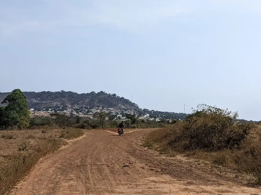
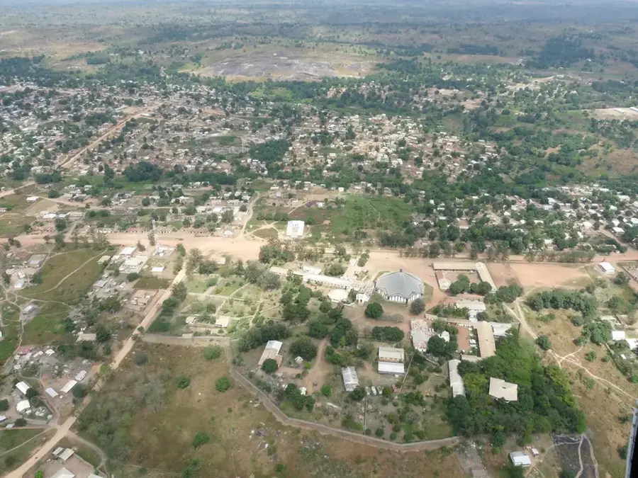
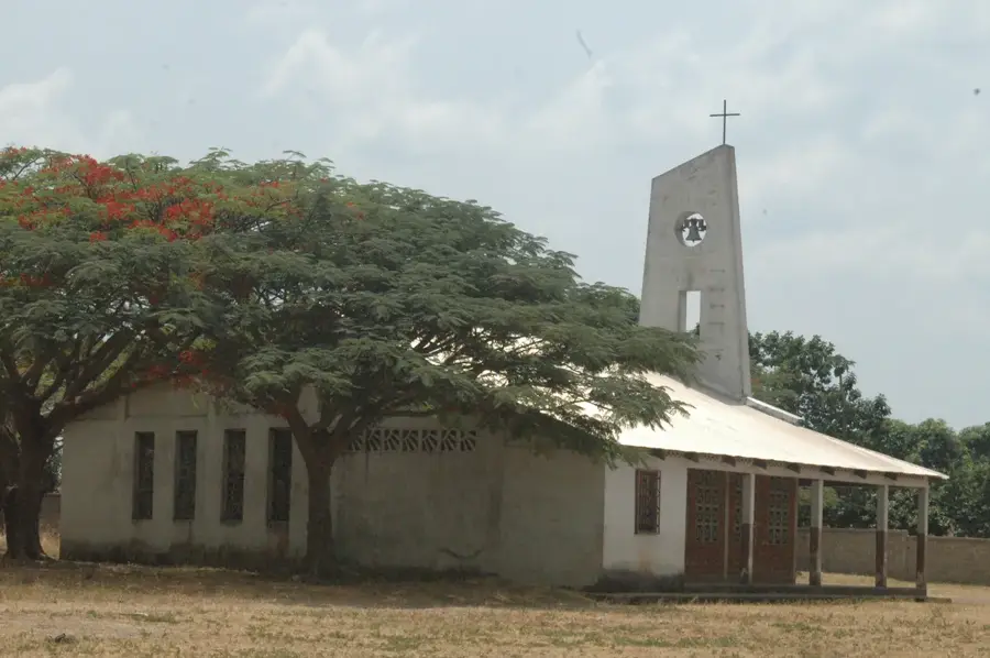
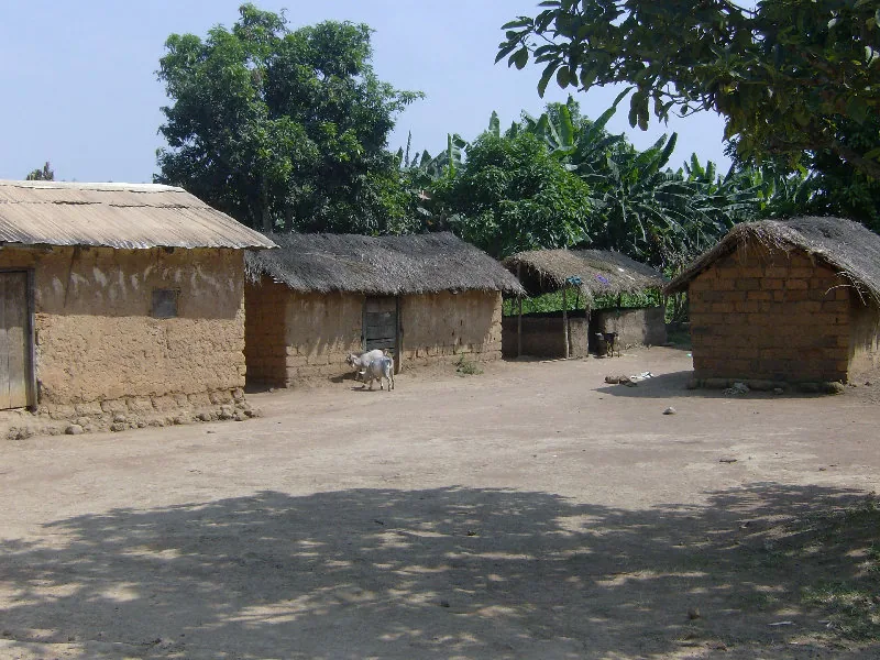
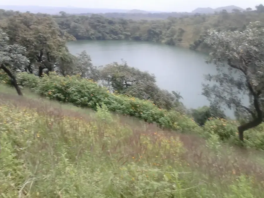
Mount Kayang is a prominent elevation in the Yadé Massif, not far from the western border of the Central African Republic. It is characterized by its rugged slopes and the harsh climate typical of the high altitudes of Central Africa. The mountain plays an important role as a watershed, with numerous streams originating on its flanks and watering the surrounding valleys. The flora on Mount Kayang includes specialized high-altitude plants and grasses adapted to significant temperature fluctuations. Due to its location, the mountain provides a strategic overview of the border region with Cameroon. Scientifically, the mountain is of interest as it provides insights into the geological history of the African shield. The remoteness of Mount Kayang has allowed local fauna, including rare rodents and lizards, to live largely undisturbed. For adventurers, the mountain represents a rewarding destination that requires physical endurance and a sense of direction. Despite its significance, Mount Kayang remains largely unmentioned in international travel guides, solidifying its status as a lesser-known spot for nature enthusiasts.
- Location: Central African Republic
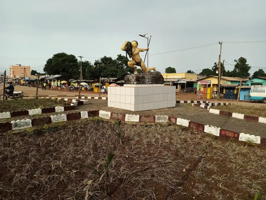
- Nearby: Baboua (29 km)
Best time to visit & climate
The most pleasant time to visit is Jan, Nov, Dec.
| Jan | Feb | Mar | Apr | May | Jun | Jul | Aug | Sep | Oct | Nov | Dec | |
|---|---|---|---|---|---|---|---|---|---|---|---|---|
| Avg °C | 23 | 26 | 26 | 25 | 24 | 23 | 22 | 22 | 22 | 22 | 23 | 22 |
| Rain mm | 3 | 14 | 68 | 116 | 160 | 189 | 266 | 251 | 254 | 167 | 24 | 4 |
📋 Practical info
Geography
Facts
- Mount Kayang reaches a height of approximately 1,300 meters.
- It is located near the city of Baboua on the border with Cameroon.
- The mountain consists primarily of gneiss and metamorphic rocks.
- Initial cartographic surveys were conducted during the colonial era in 1920.
- Nighttime temperatures at the summit can drop below 10 degrees Celsius.
- It belongs to the watershed between the Lake Chad basin and the Congo basin.
Explore nearby
Notable places around
Route planner — Car & Motorhome
Where do you start? We build the route here, with stops and country notes along the way.
© OpenStreetMap contributors · OpenRouteService
Sights nearby
Frequently asked questions
How high is Mont Kayang?
Are there animals?
Can you camp there?
Are there marked trails?
Is the mountain volcanic?
Mount Kayang: where is it located?
Mount Kayang: when is the best time to visit?
Mount Kayang: why is it worth visiting?

Nearby cities
More places