Plizio Visual Lab
Bouar
ℹ️Practical info — Bouar
▾
🌤 Weather — 5 days
📍 Nearby
Sights nearby
💡 Tips
- Make sure to plan a visit to the megaliths (Tajunu) just outside the city; they are fascinating remnants of an ancient culture.
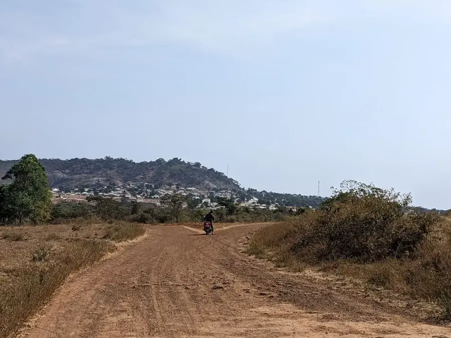
- The dry season (December to March) is the best time to visit as the unpaved regional roads are much easier to navigate.
- Due to the military presence in Bouar, be extremely cautious about photographing any official buildings or personnel in uniform.
- Bouar is on the main artery to Cameroon, so expect a constant stream of heavy cargo trucks passing through.
- French and Sango are the primary languages; knowing basics in either is essential for getting around.
🍽 Food
A traditional dish made of finely chopped cassava leaves, often thickened and flavored with peanut paste. Very nutritious.
A hearty stew, usually featuring beef or fish, commonly served in the small local eateries near the market.
A simple yet delicious snack often roasted over small open fires by the roadside in the evenings.
🛍 Shopping · 🧘 Quiet spots
A great place to buy local produce such as peanuts, sesame, and fresh tropical fruits.
Look out for handmade wooden items and masks crafted by artisans from the surrounding region.
Not only historically fascinating, but also a very quiet, mystical place just outside the city limits.
The hilly surrounding countryside provides a peaceful atmosphere and beautiful views over the savanna landscape.
Water temperature…
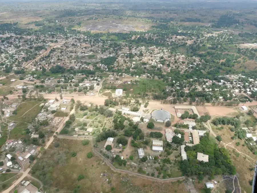
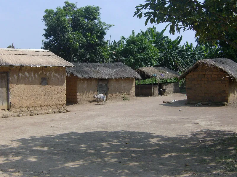
Bouar is the capital of the Nana-Mambéré prefecture in western Central African Republic, located on a plateau at an altitude of about 1,000 meters. This elevated position grants the city a cooler climate compared to the rest of the country, making it a strategic location since the colonial era. Bouar is internationally famous for its megaliths, ancient stone monuments dating back over 3,000 years, which are on the UNESCO World Heritage tentative list. Historically, the city served as a major military base known as Camp Leclerc, playing a key role in French regional strategy. The local economy is driven by agriculture, administrative services, and trade with neighboring Cameroon. As a crucial stop on the main highway connecting Bangui to the Cameroonian border, Bouar is indispensable for international transit and commerce. The city's blend of prehistoric heritage, colonial military history, and modern trade importance makes it a unique urban center in the region.
- Location: Central African Republic
- Nearby: Abba (38 km)
- Population: ~71.680 (2026)
Best time to visit & climate
The most pleasant time to visit is Jan, Nov, Dec.
| Jan | Feb | Mar | Apr | May | Jun | Jul | Aug | Sep | Oct | Nov | Dec | |
|---|---|---|---|---|---|---|---|---|---|---|---|---|
| Avg °C | 24 | 26 | 27 | 25 | 25 | 23 | 22 | 22 | 22 | 23 | 23 | 23 |
| Rain mm | 3 | 18 | 99 | 120 | 154 | 196 | 278 | 265 | 284 | 189 | 29 | 3 |
Geography
Facts
- Bouar is situated at an average elevation of 1,046 meters above sea level.
- The Megaliths of Bouar are estimated to be over 3,000 years old.
- It was the site of Camp Leclerc, a major French foreign military base.
- The town is a key waypoint on the main road to the border of Cameroon.
- Bouar has a notably milder climate due to its high plateau location.
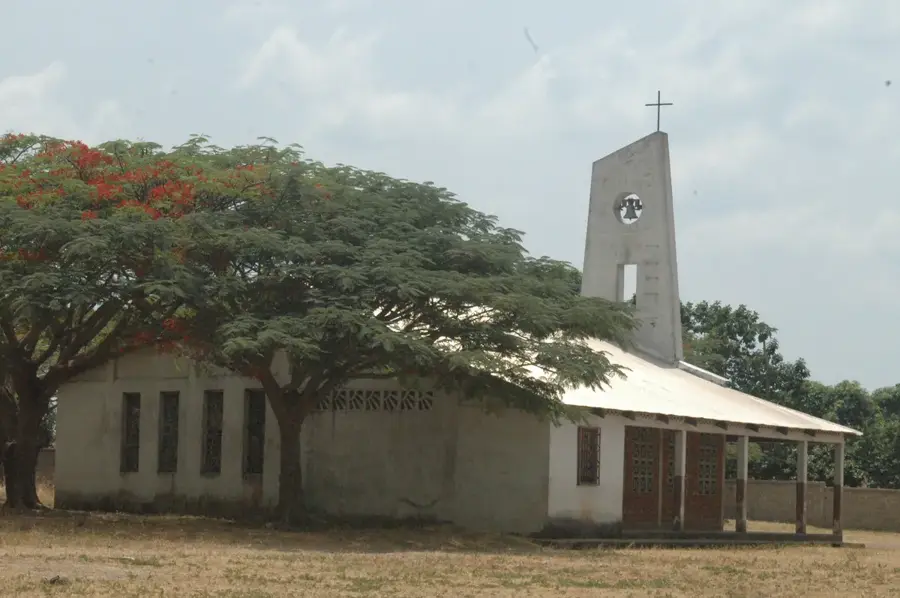
- It serves as the seat of the Roman Catholic Diocese of Bouar.
Explore nearby
Notable places around
Route planner — Car & Motorhome
Where do you start? We build the route here, with stops and country notes along the way.
© OpenStreetMap contributors · OpenRouteService
Sights in the town Bouar (1)
Frequently asked questions
What historical significance does Bouar have?
Is there a military base there?
What is the climate like in Bouar?
What language is mainly spoken?
How do you reach the megaliths?
Bouar: where is it located?
Bouar: when is the best time to visit?
Bouar: why is it worth visiting?

Nearby cities
More places