Plizio Visual Lab
Yadé Massif
Weather…
Water temperature…
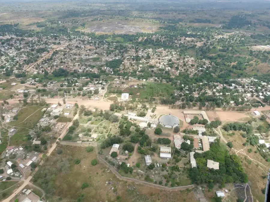
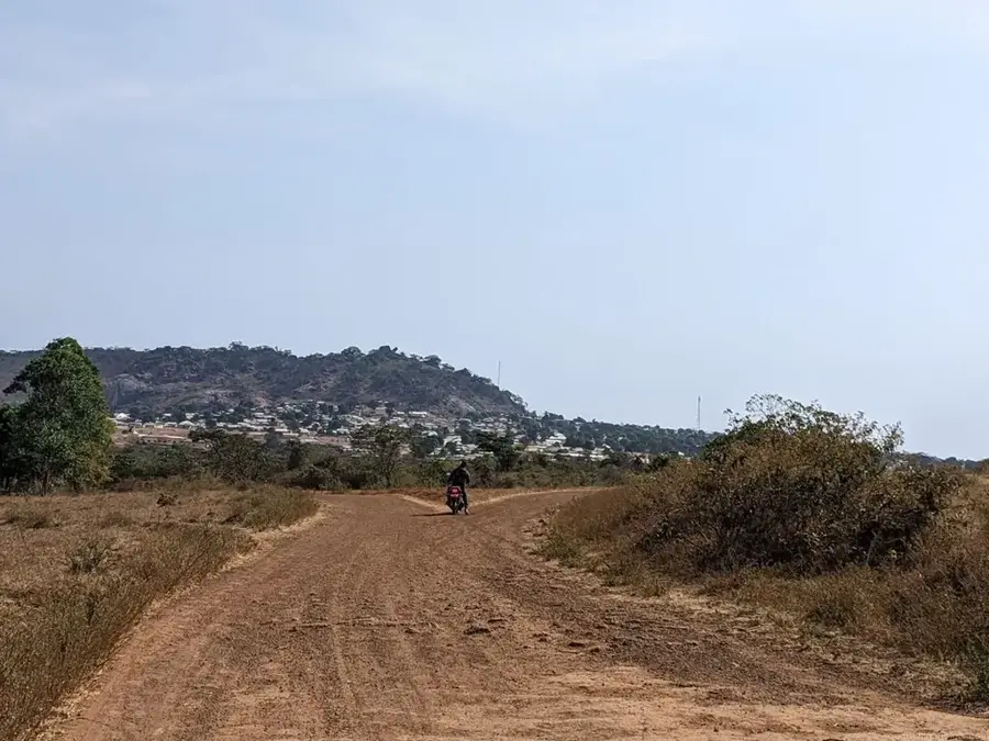
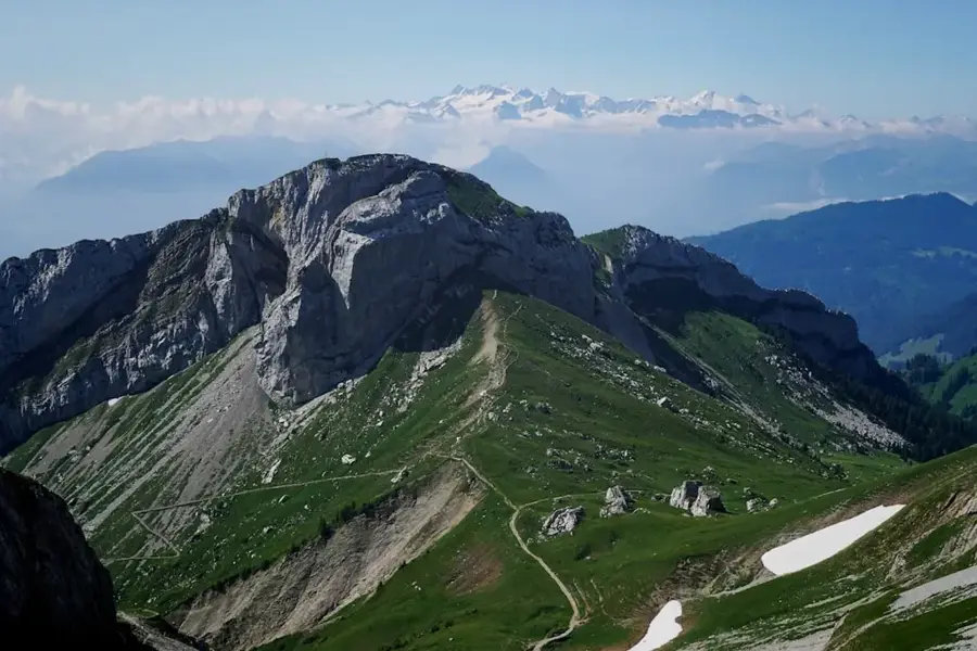
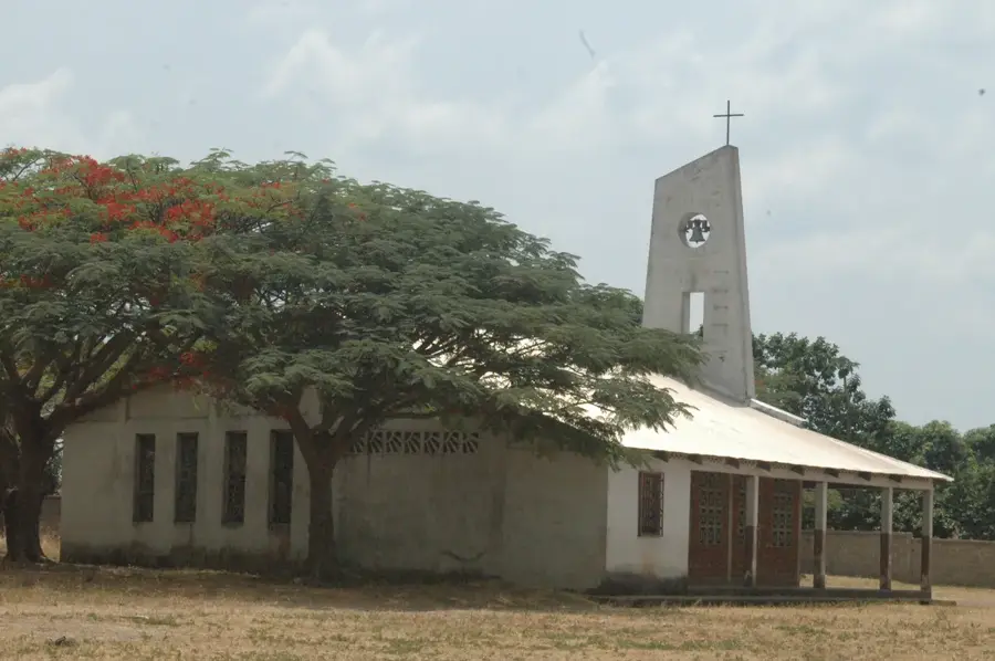
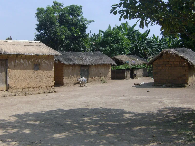
The Yadé Massif is a major highland plateau in the northwestern Central African Republic, extending westward into Cameroon as part of the Adamawa Plateau. Geologically, it is primarily composed of granite and gneiss, shaped by tectonic uplift and subsequent erosion over millions of years. With average elevations ranging between 1,000 and 1,400 meters, the massif is one of the coolest and most humid regions in the country. These climatic conditions support lush vegetation, spanning from gallery forests in the valleys to montane savannas on the upper plateaus. The Yadé Massif is hydrographically critical, serving as the source for several major rivers, including the Ouham and the Logone, which flow northward to feed Lake Chad. Historically, the region has been a crossroads for trade routes and the migration of various ethnic groups, most notably the Gbaya people. The fertile soils, some of volcanic origin, make the massif an essential agricultural hub for the region. Modern conservation efforts focus on preserving these unique mountain ecosystems from the threats of overgrazing and deforestation.
- Location: Central African Republic
- Nearby: Bouar (30 km)
Best time to visit & climate
The most pleasant time to visit is Jan, Nov, Dec.
| Jan | Feb | Mar | Apr | May | Jun | Jul | Aug | Sep | Oct | Nov | Dec | |
|---|---|---|---|---|---|---|---|---|---|---|---|---|
| Avg °C | 24 | 26 | 27 | 25 | 25 | 23 | 22 | 22 | 22 | 23 | 23 | 23 |
| Rain mm | 3 | 18 | 99 | 120 | 154 | 196 | 278 | 265 | 284 | 189 | 29 | 3 |
📋 Practical info
Geography
Facts
- The highest point of the massif is Mont Ngaoui at 1,410 meters.
- It serves as the eastern extension of the Adamawa Plateau.
- The geological foundation is composed of Precambrian crystalline rocks.
- The Ouham River, a primary tributary of the Chari, originates here.
- The region receives approximately 1,500 mm of annual rainfall.
- The plateau is a key region for the cultivation of coffee and tobacco.
Explore nearby
Notable places around
Route planner — Car & Motorhome
Where do you start? We build the route here, with stops and country notes along the way.
© OpenStreetMap contributors · OpenRouteService
Sights nearby
Frequently asked questions
Where is the Yadé Massif?
What is the climate like?
Is there agriculture?
Are there waterfalls?
How do you reach it?
Yadé Massif: where is it located?
Yadé Massif: when is the best time to visit?
Yadé Massif: why is it worth visiting?

Nearby cities
More places